

10107
-
Content count
411 -
Joined
-
Last visited
-
Days Won
6
Everything posted by 10107
-

Alternate TFD Terrain Tilemap editor/viewer
10107 replied to gerwin's topic in Thirdwire: Strike Fighters 2 Series - Mods & Skinning Discussion
Right on. Lack of info on the new terrain style but I'm sure there will lots of use for your editor. I know I have lots of use for it. :) -
Alternate TFD Terrain Tilemap editor/viewer
10107 replied to gerwin's topic in Thirdwire: Strike Fighters 2 Series - Mods & Skinning Discussion
Hey Gerwin, have you made any more changes to the editor? -
EB-57B 158th DSES
10107 replied to pappychksix's topic in Thirdwire: Strike Fighters 1 Series - File Announcements
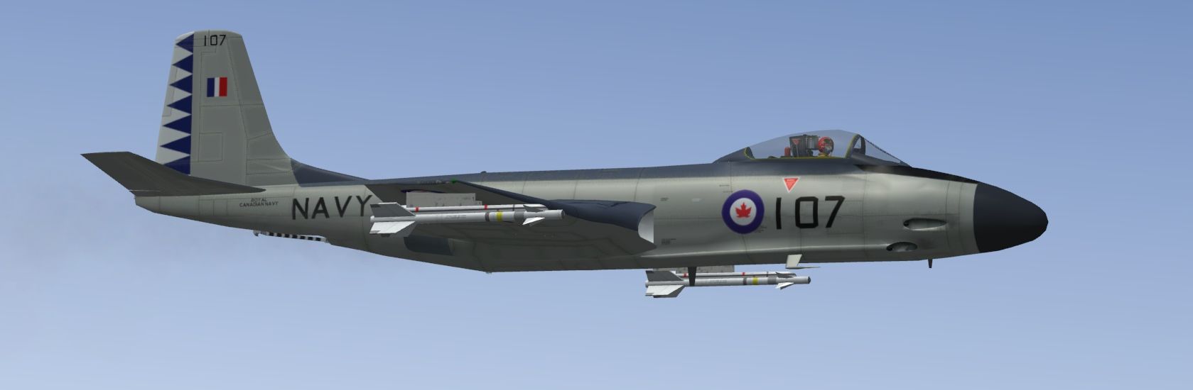
Pete, Been running these against the CF101 Voodoos from CFB Bagotville reliving the old ADC days of the Cold War. I think I have the right model in but the decals are pushed way forward. I edited them back but am wondering if you or anyone is interested in making this a SFP2 compatible version since you have the templates and adding the EW kit to it for release. -
Alternate TFD Terrain Tilemap editor/viewer
10107 replied to gerwin's topic in Thirdwire: Strike Fighters 2 Series - Mods & Skinning Discussion
No, I mean that the new TE won't recognize the terrain if the names aren't the same. So by changing those names it worked. Thanks for the advice but I didn't like the planning maps and that new TE made some nice new ones. -
Alternate TFD Terrain Tilemap editor/viewer
10107 replied to gerwin's topic in Thirdwire: Strike Fighters 2 Series - Mods & Skinning Discussion
Discovered something the other night working with the OTC + terrain. The associated inis have to have the same name as the main ini and folder or else it won't find it. It will open but with a lot of errors. -
Alternate TFD Terrain Tilemap editor/viewer
10107 replied to gerwin's topic in Thirdwire: Strike Fighters 2 Series - Mods & Skinning Discussion
Hi Gerwin, Still working the editor of yours to the max. Finally figured out the copy tile height usage. Love the ability to page up and down through tiles when zoomed in to be able to view them as they lay in the terrain. The ability to amend parts of the tile for height has been a great benefit when creating the fjord into Port Alberni. A couple of requests- 1. The tile name that you have selected to be displayed somewhere in the editor. makes it easier for picking it out in Photoshop for editing. 2. The ability when you are TAB-ing through the individual heights in the tile to reverse the direction when you went too fast and skipped it and to be able to go back as opposed to going all the way through again. 3. Can you have a way to reload the .hfd with the editor open vice closing and going through to open it again? -
Alternate TFD Terrain Tilemap editor/viewer
10107 replied to gerwin's topic in Thirdwire: Strike Fighters 2 Series - Mods & Skinning Discussion
It worked out for some reason reducing to 10 meters all over the field fixed it. No slopes. Hey Gerwin, when you make the heights, can you make it on top of any airfield graphics? Makes it easier when they are covering them up from runways. Thanks. -
Alternate TFD Terrain Tilemap editor/viewer
10107 replied to gerwin's topic in Thirdwire: Strike Fighters 2 Series - Mods & Skinning Discussion
Happy New Year 2012. I have been working this overtime today. Have found great benefit of the TAB with the target name, offset and target ID number. Quite invaluable. I have been using this with Kreelin's Mission Editor to place targets. I have your TE open to cycle the targets and get their name and ID. Make the change in the targets offset in the target_data.ini, save it, re-select and open the map in the KME and watch the target move. The ability to grab a target in your editor and drag it around would be awesome. I have a problem trying to flatten one of the airfields I have in for Victoria BC. It close to the shore and goes from 0 height to the airfield height I set at 50 meters. It shows in your TE height map mode at 50 meters, TKs TE at 50 meters but every time I take off, its bumpy. Took it down to 10 meters to see what happens now. Looking forward to more features. Keep up the good work. -
Alternate TFD Terrain Tilemap editor/viewer
10107 replied to gerwin's topic in Thirdwire: Strike Fighters 2 Series - Mods & Skinning Discussion
With the possible inclusion of support for a mouse in the future. Could you make it so you could put a pointer over the map and hit a key or mouse click to capture that position. This is something that I could use in the creation of routes. To go even further, perhaps to leave a dot and line trail of the route that is being created. Its almost 2012.... can always ask right? -
Alternate TFD Terrain Tilemap editor/viewer
10107 replied to gerwin's topic in Thirdwire: Strike Fighters 2 Series - Mods & Skinning Discussion
Very good tool for sure. You game tool makers are more rare than FM makers I think. Looking forward to your upcoming versions. Now if you can make it so you can use a mouse with it and click and drag on a target item and be able to save that change in the target.ini..................awesome. -
Ok Let's Start A Virtual "NATO"
10107 replied to Dave's topic in Thirdwire: Strike Fighters 2 Series - General Discussion
Just curious if this will be regenerated. It seemed the vNATO idea started well but this thread rolled off into just a OP DARIUS thread. -
Ok Let's Start A Virtual "NATO"
10107 replied to Dave's topic in Thirdwire: Strike Fighters 2 Series - General Discussion
Tsk tsk....USAF.. Only been years since I posted in here. Watched this develop. Good effort and looking forward to see more.