-
Content count
2,813 -
Joined
-
Last visited
-
Days Won
93
Content Type
Profiles
Forums
Calendar
Gallery
Downloads
Store
Everything posted by Geezer
-
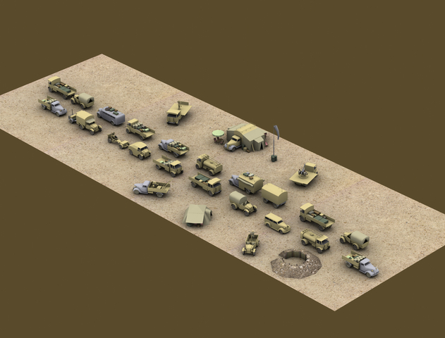
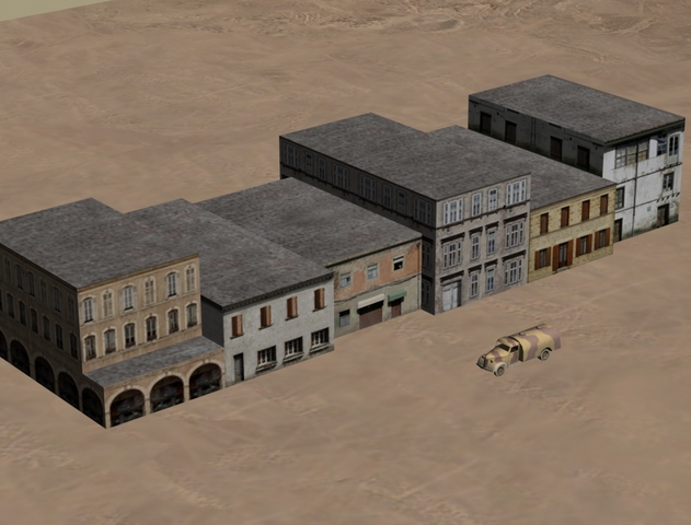
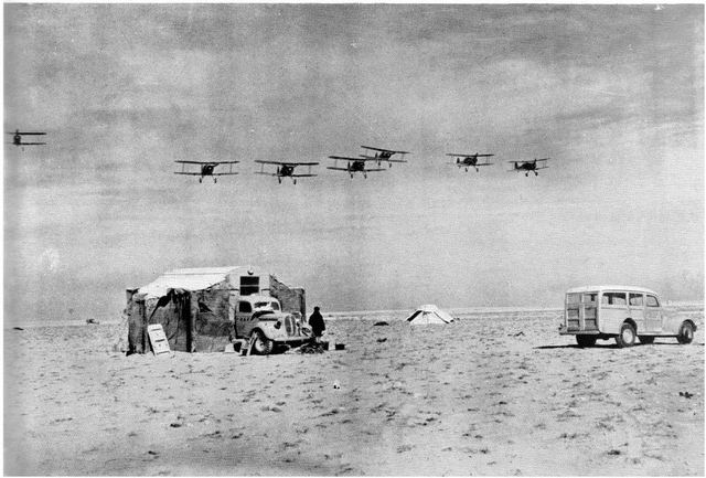
Wrench: As you know, I am slowly making a bunch of new WW1 ground/terrain objects for the FE guys. If you are willing to wait a while, I could also make some Mediterranean objects for your map upgrade. Shot below is of an old example - the roof tiles are now more varied. Plus, I have a BOATLOAD of WW2 vehicles that could be used. Sample below is overkill, where I was attempting to simulate the rag-tag, gypsy caravan look seen in so many of the desert war photos. Only the US managed to standardize on a few vehicle types - the other combatants used dozens of different vehicles.
-
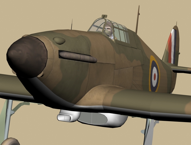
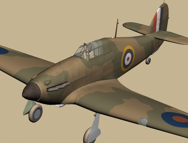
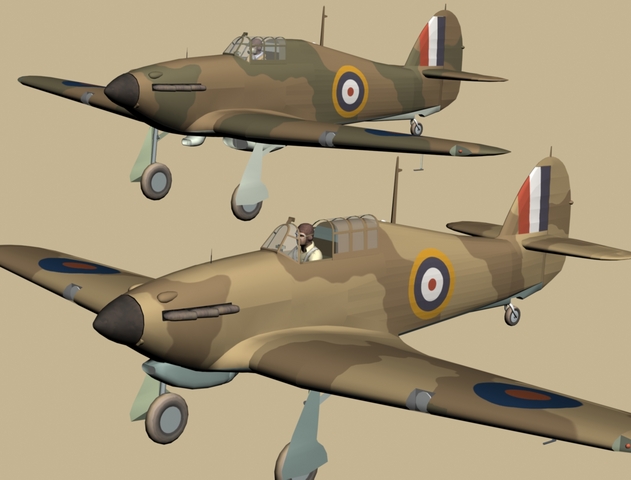
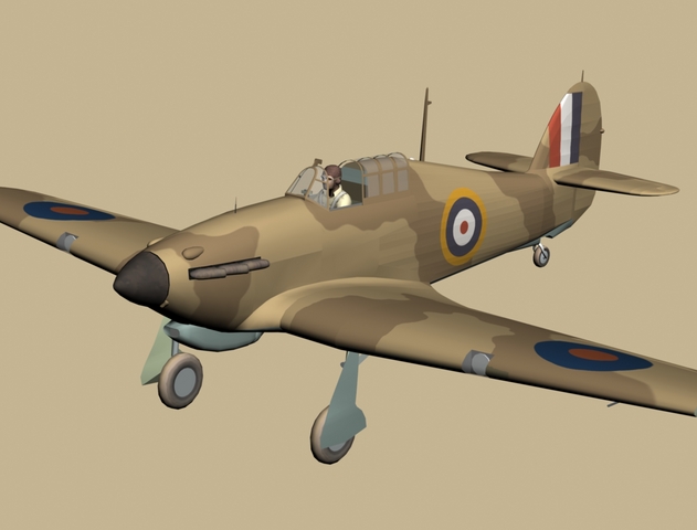
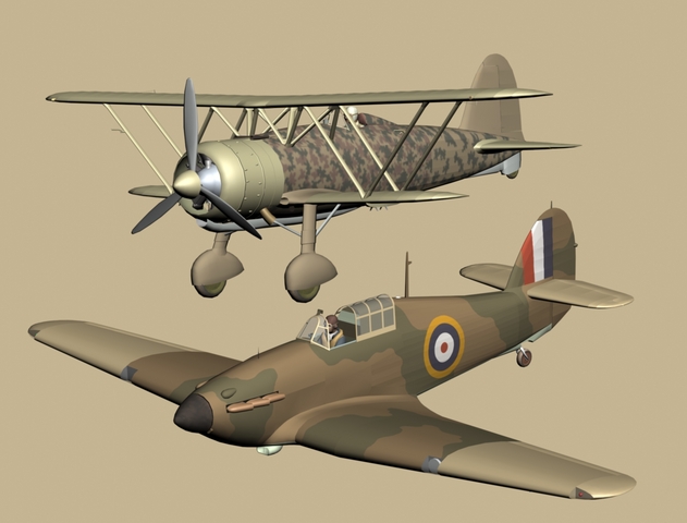
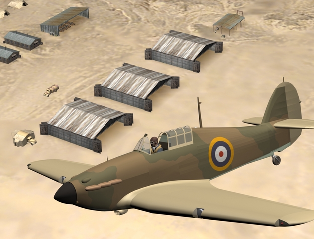
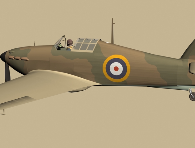
Found the SF2 North African map - thanks. Finished mapping the Hurricane MK1 and have been applying the baseline colors. Interesting thing about the 1940 desert war is that the classic RAF dark earth/mid stone/azure blue camo was not specified 'til mid-1941. So, most RAF aircraft in the first 6-12 months flew with euro-camo. Many older aircraft, originally sent to Africa in the pre-war silver finish, were field painted with improvised colors.
-
Didn't know there was one. Thanks for the tip - I'll look for it.
-
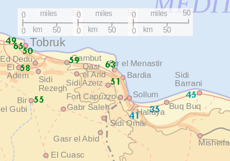
Yes. The models will function in both FE2 and SF2. When Italy declared war on Britain (June, 1940), the first WW1-style dogfights took place over the Libyan/Egyptian border, mostly along the coast. I originally thought the game map need only be 200 miles wide, but then realized it could be used for both the short biplane airwar of 1940 and the later 1941-42 desert war that most gamers know about. So I am now thinking about a map 400 miles wide, stretching from El Agheila to El Alamein, that could be used in both FE2 and SF2. Shot below shows original idea, with Italian airfields in green and British airfields in blue. The Italians mostly operated from established bases with facilities, while the British frequently operated from "forward landing grounds" - big flat spots in the desert with temporary facilities mounted on trucks.
-
The density of the camo pattern is a bit wonky around the cockpit. Gonna have to do some creative erasing!
-
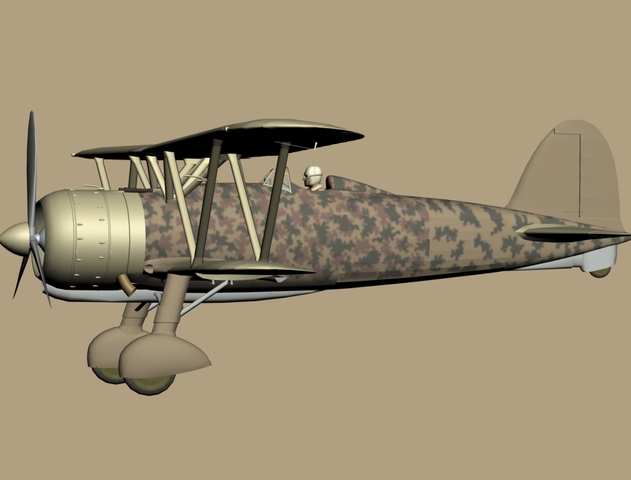
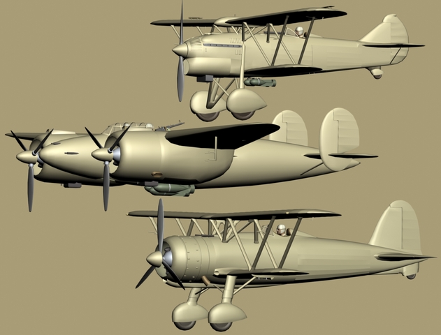
Tweaked the Hurricane colors today, and got started on the CR42.
-
Mapped the fuselage this morning, and started making skins for the Hurricane1.
-
There's more on the way......
-
Heh - great shots.
-
Cocas Prop Works
Geezer replied to KnightWolf45's topic in Thirdwire: Strike Fighters 2 Series - World War II Forum
You are making good progress and there is no need to apologize for your models. You are right. The only thing that matters is working to the best of your ability, because there are no "perfect" models - and never will be. Perfection is an admirable goal, but is impossible in the real world. Every model is a collection of compromises, so relax and enjoy your hobby! If you ever need any help, feel free to ask. -
That's not necessarily a drawback for the 1940 desert. While the Brits had been trained to use radio to coordinate their attacks, radios were seldom installed in Italian fighters due to a shortage of radio sets. In effect, the Italians were re-fighting WW1 in the air - they still signaled each other with their hands or by rocking their wings.

