About This File
srael terrain version 1.4 readme:
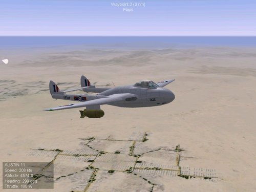
After unsuccessfull attempts to make Israel terrain in an 1:1 scale i decided to improve the smaller version a little bit.
I included now 110 target areas (29 more than in v1.3)
For instance:
I added 3 new egyptian airbases: Kairo West
Wadi al Jandali
and following a multiple wish of one single user: Beni Suef
2 new jordanian airfields: H-5 Prinz Hassan
Al Jafr
1 new syrian airfield: Al Suweidaja
The direction of airfield i changed in Ovda, Ben Gurion, Ramat David and El Arish, to meet the conditions of the terrain texture or terrain structure better. E.G. No starting against the mountains more in Ovda, instead starting in direction of the valley.
El Arish got an different airfield.
Al Mansura is moved some 100 meters to avoid trees on the runway.
I included a bunker line along the suez canal (Bar Lev line) and a israeli Radar warning line in the middle of Sinai.
Near Inshas, Tanta and Port Said barracks complexes i installed. Fuel or Oil Storage facilities are now in Suez and Port Said.
3 bridges over the river Nil are new. Some with the bridges corresponting Cities are now on the map.
The SAM fence along the Suez canal is now growing up in 1970 instead 1967 and will get his maximum efficency in 1973.
The Bar Lev bunkiers will come in 1968 and the israeli airfileds in Sinai (El Arish, Bir Gifgafa, Bir Tamahada and Sharm es Sheik) are active from 1968.
The egyptian ponton bridges come in 1973. etc


