JSF_Aggie
-
Posts
975 -
Joined
-
Last visited
-
Days Won
38
Content Type
Profiles
Forums
Gallery
Downloads
Store
Everything posted by JSF_Aggie
-
Thank you Dels

-
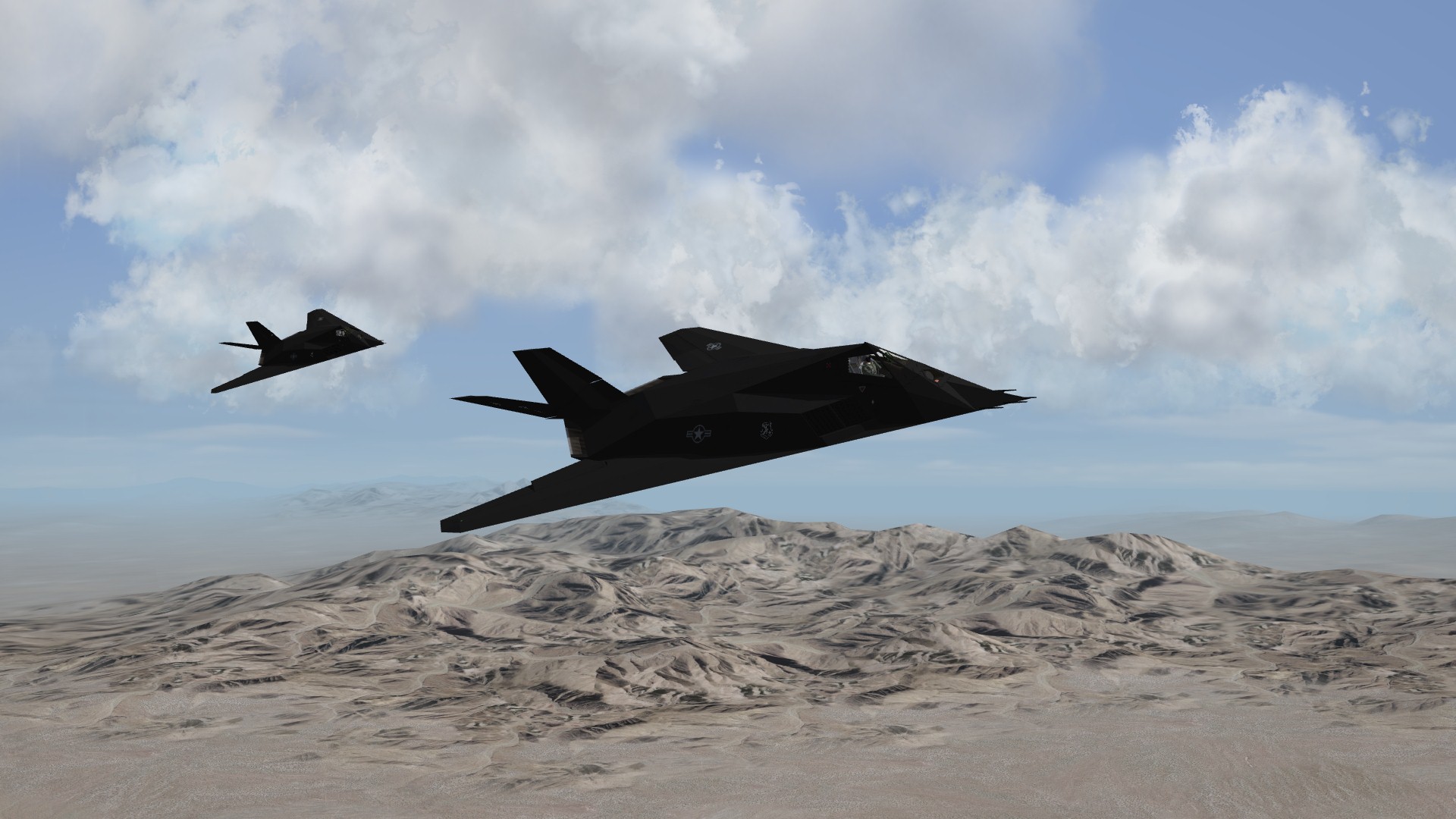
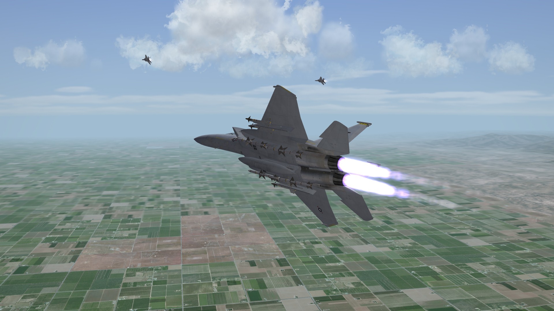
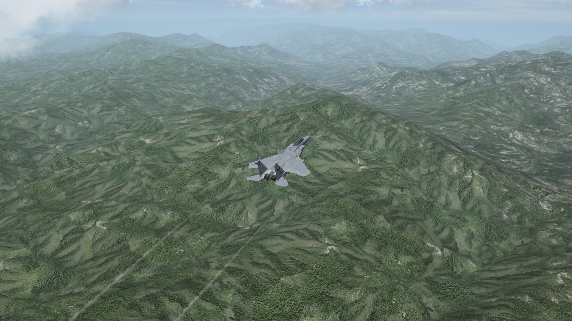
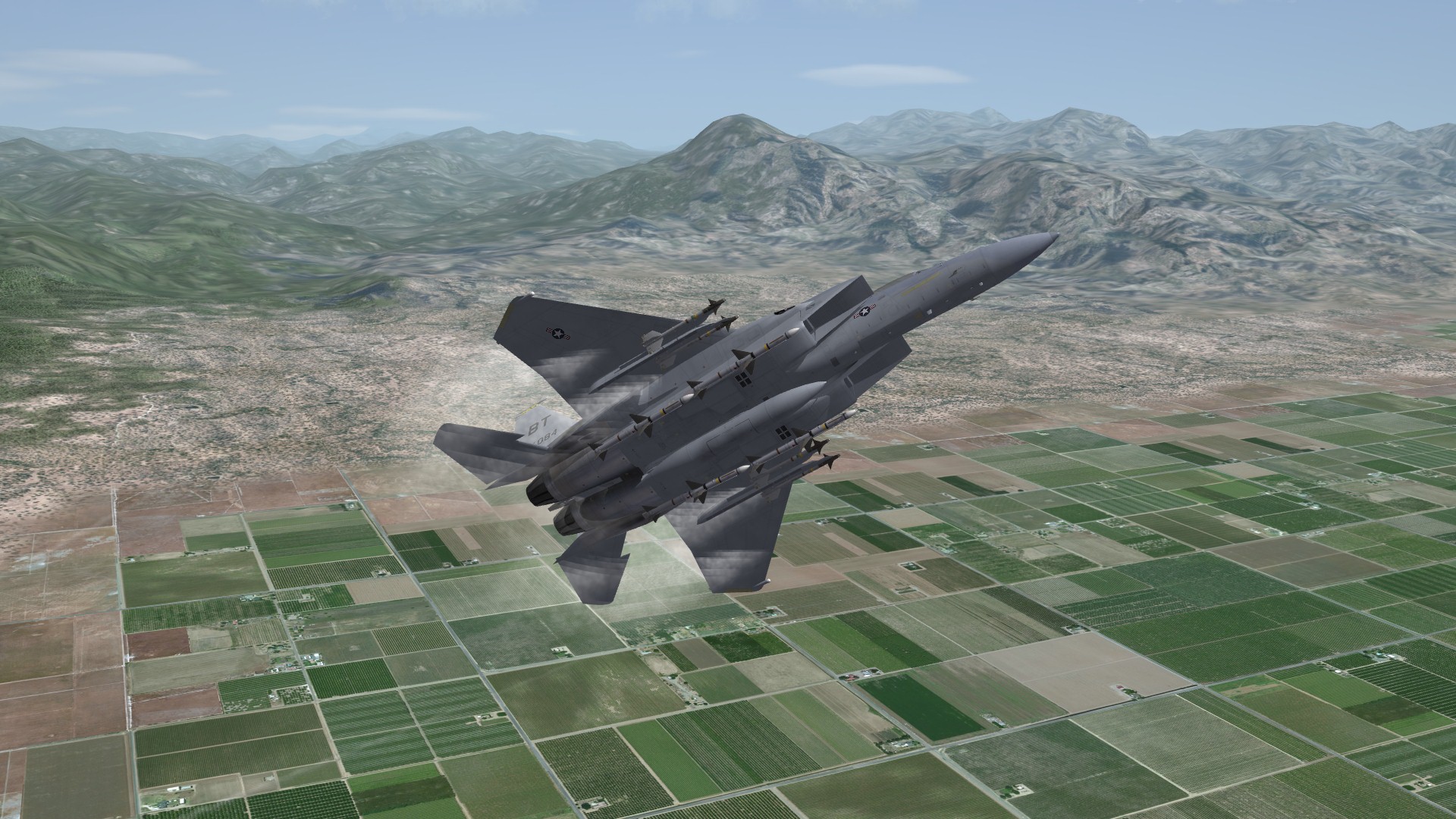
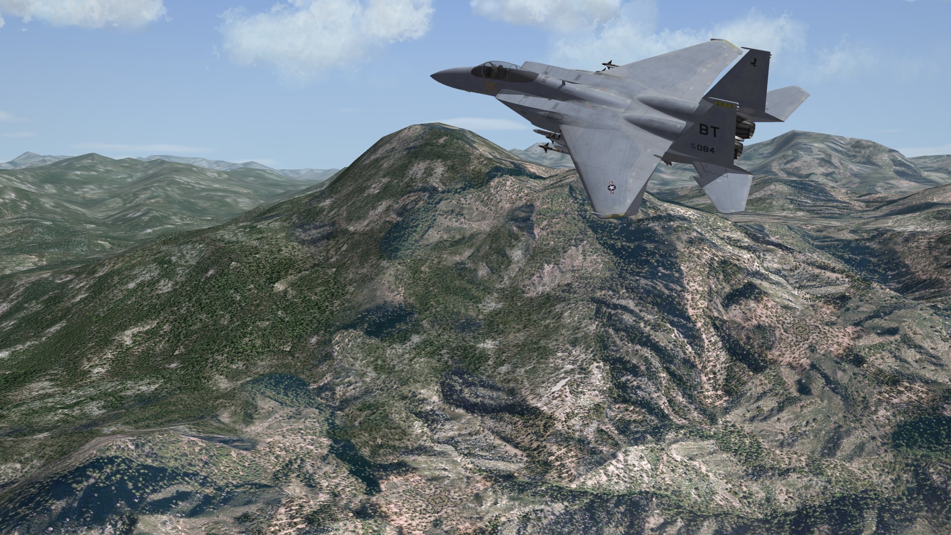
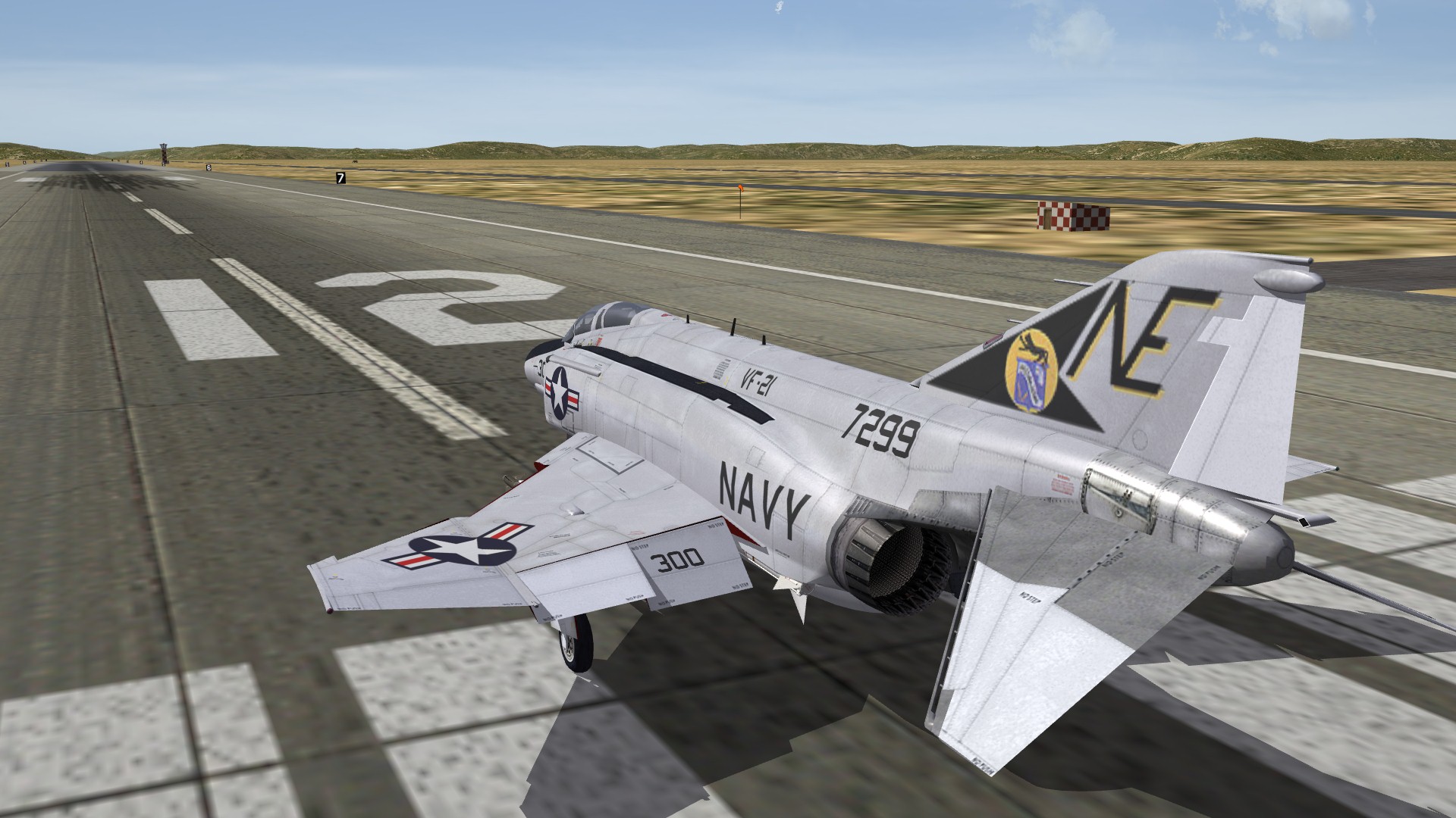
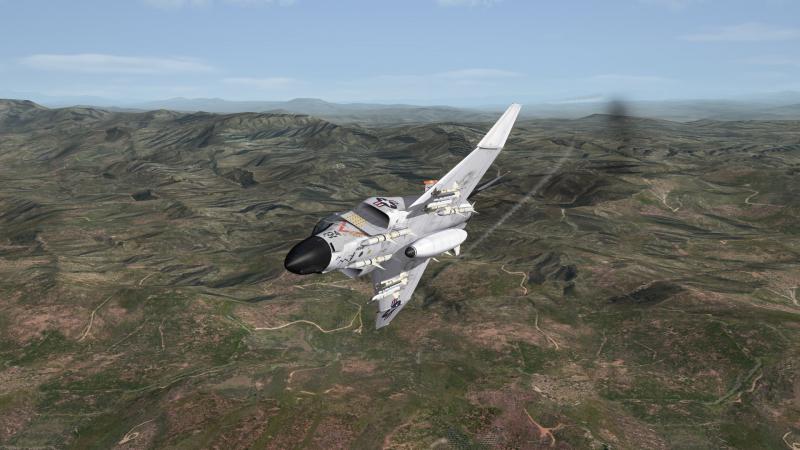
Some Eagle shots...


-
Need Help Flattening Terrain For Airfields
JSF_Aggie replied to JSF_Aggie's topic in Mods & Skinning Discussion
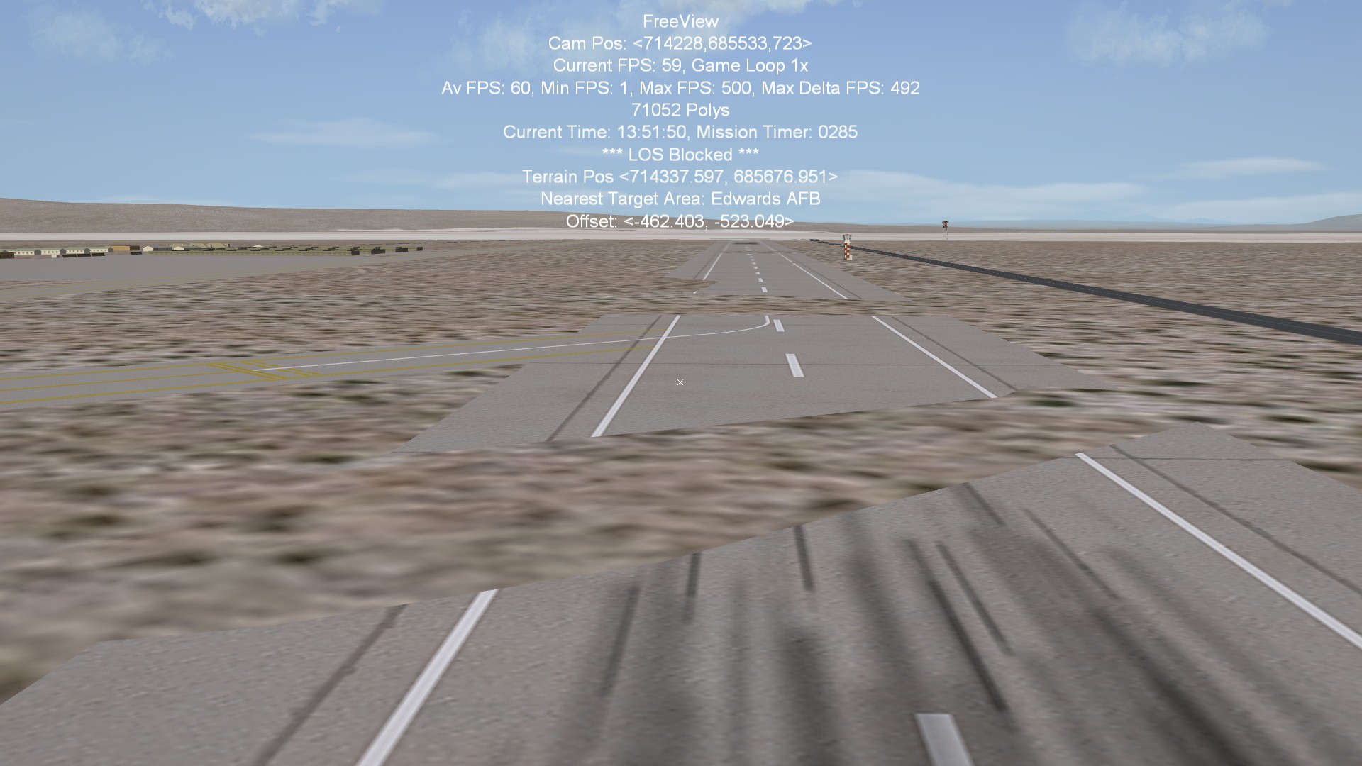
Doing the heightmap .BMP route gave the exact same errors, the runway would be low in the same spot (ground pops through), or high in the same spot (aircraft's wheels sink halfway through the runway) However, giving the tiles a flat _hm.bmp fixes it, but I've never had to do this before. [Texture068] Filename=sand1.BMP HasWater=0 HeightMap=sand_hm.BMP HeightMapScale=1.000000 Color=0.858675,0.710850,0.489428 SolidObjectTexture= AlphaObjectTexture= -
Need Help Flattening Terrain For Airfields
JSF_Aggie replied to JSF_Aggie's topic in Mods & Skinning Discussion
I'll try doing it with only one city in the CITYLIST, one at a time. If that doesn't work I'll try the editing the heightmap .BMP. Wrench, if you look at all the non-water tile entries in the stock _data.ini's, they all have: "HasWater=0". I assume "0" is the default, so not having that keyword probably equates to the same thing. I've done all those things to make sure I'm running with the correct .HFD. I can also tell by the fact that each time I increase width and height values, my flattened circle gets larger. I'll keep plugging away at it. Thanks guys -
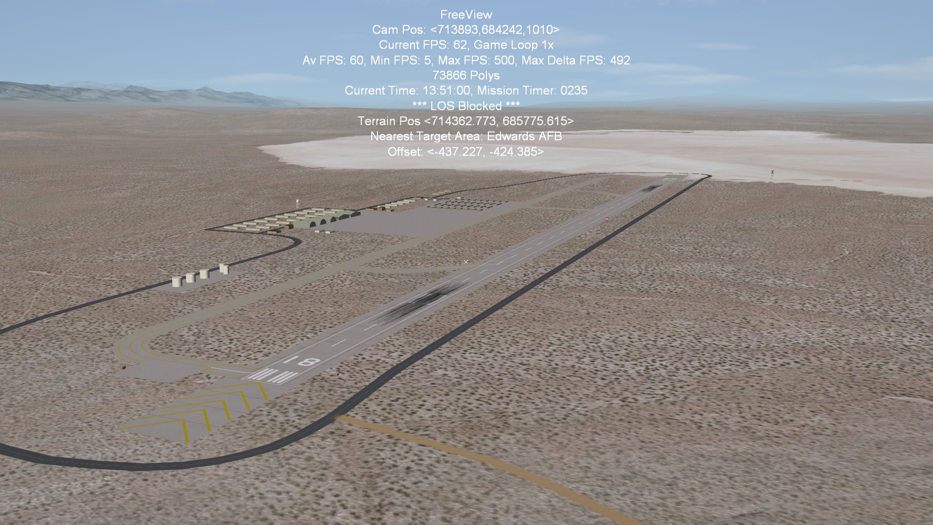
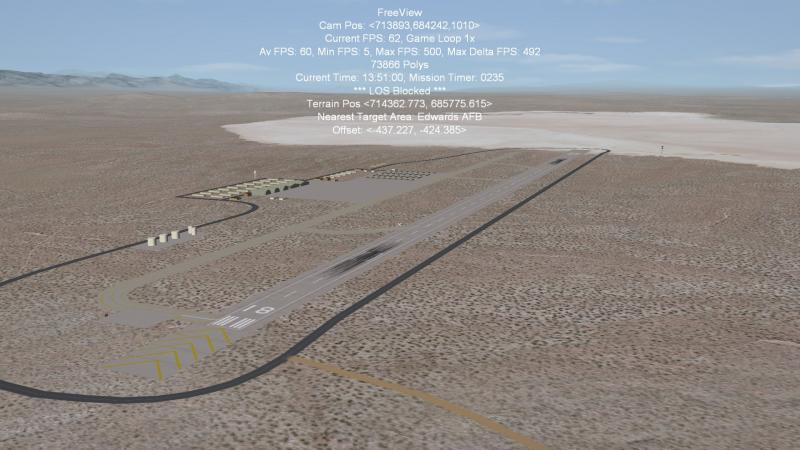
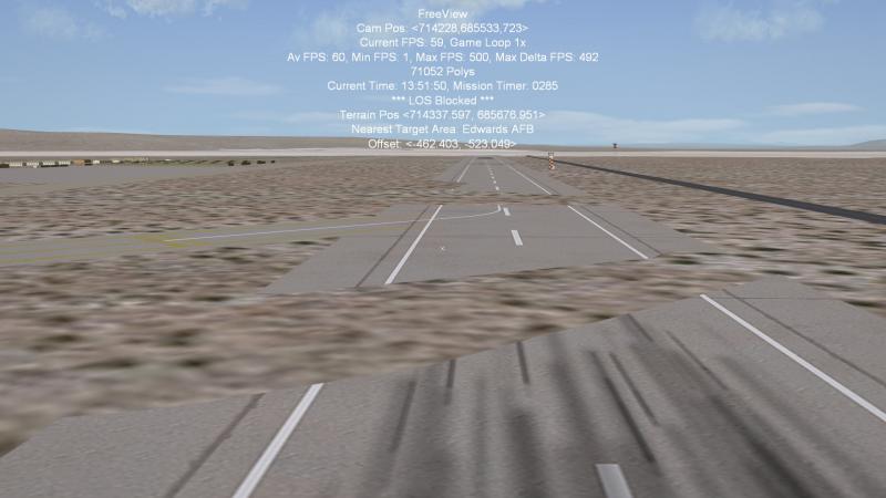
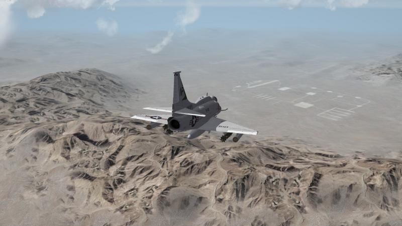
I'm having an issue placing airfields. I've tried flattening the ground via Gerwin's TFDTool and TW's Terrain Editor, but I still have the problem shown in the screenshots below. The TFDTool says the area is completely flat. For the Terrain Editor, my CityList has the airfield box checked, randomness = 0, and I've tried width/height values of 2km - 6km. You can see in game, that it makes the flat circle where it should, but the problem below exists when you get close. I've tried with/without using "Smooth Height Field" prior to "Level Airfield". I'm pointing to the DESERT.CAT, and my _types.INI file matches the stock desert_types.INI. My terrain's _data.ini matches the stock desert_data.ini with the obvious exception of the terrain tiles. Only my sea transition tiles have a _HM.BMP assigned to them. For example: [Texture068] Filename=sand1.BMP HasWater=0 Color=0.858675,0.710850,0.489428 SolidObjectTexture= AlphaObjectTexture= Can anyone offer any help or suggestions? Thanks.
-
Thank you Eric. I contributed a little coin to the cause.
-
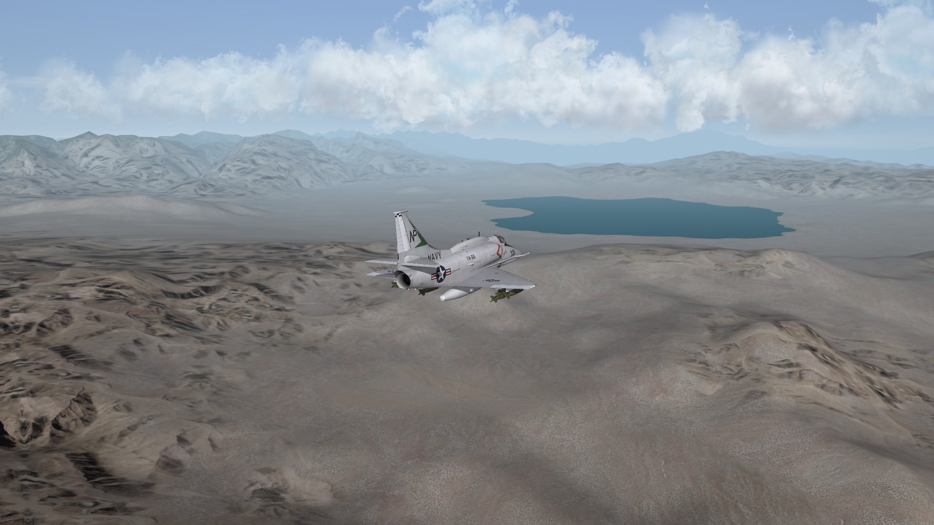
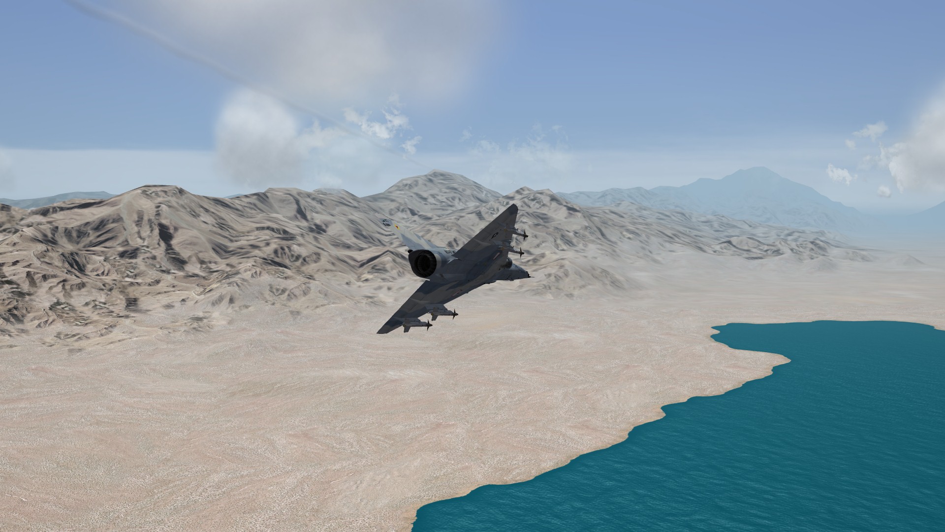
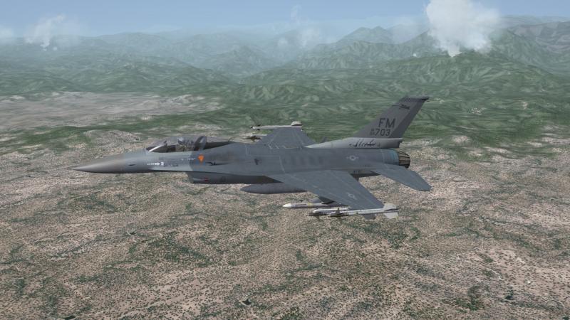
Mono Lake and Tonopah area...
-
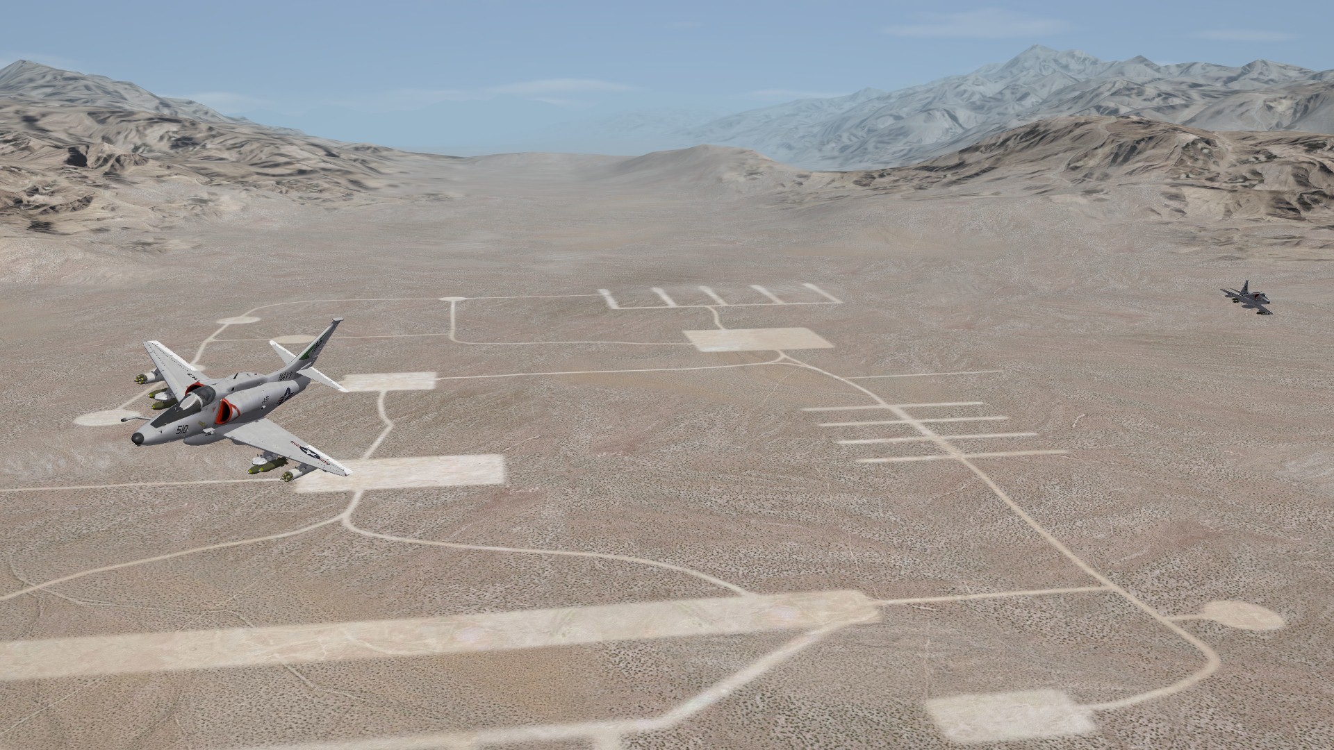
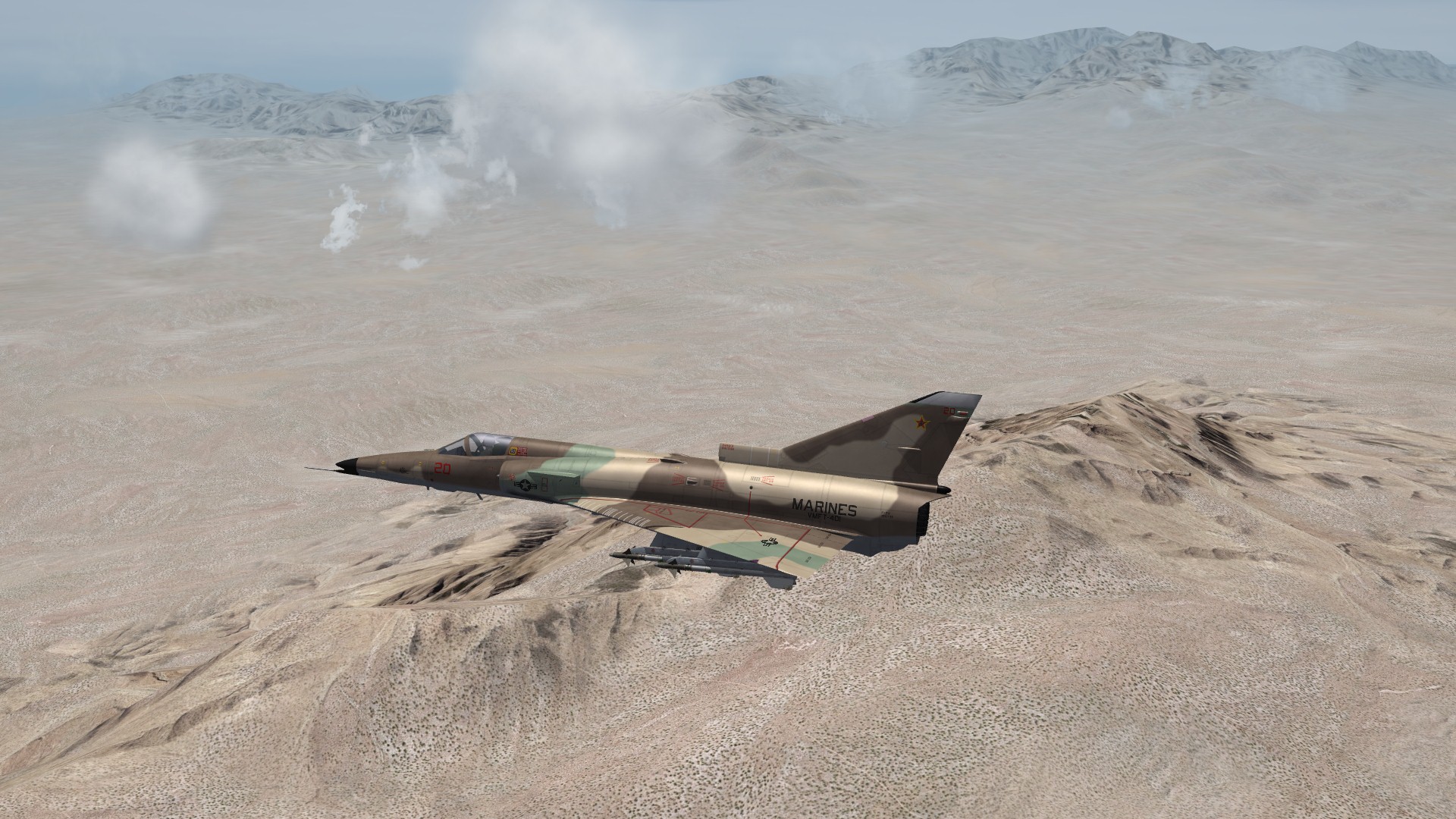
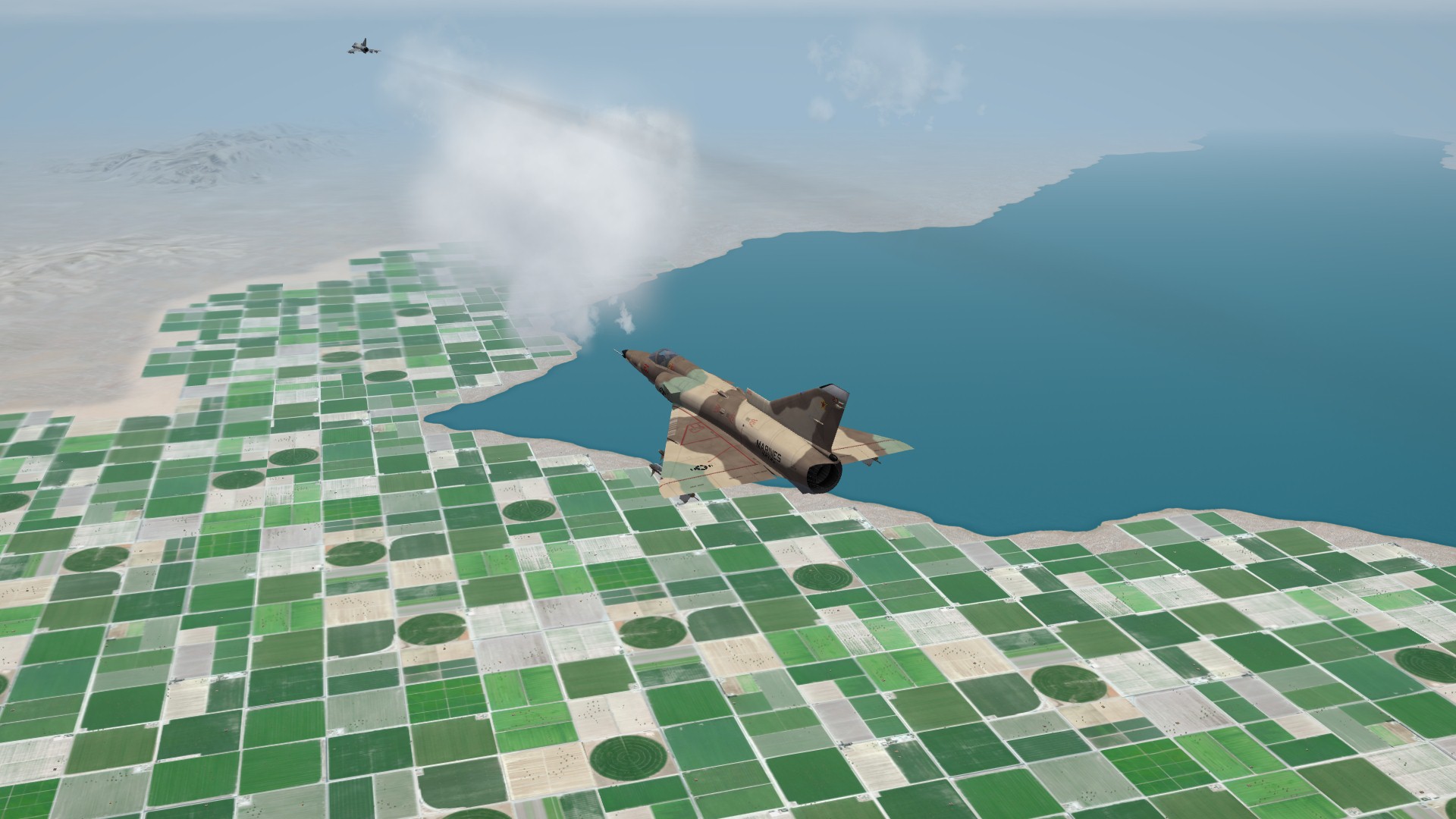
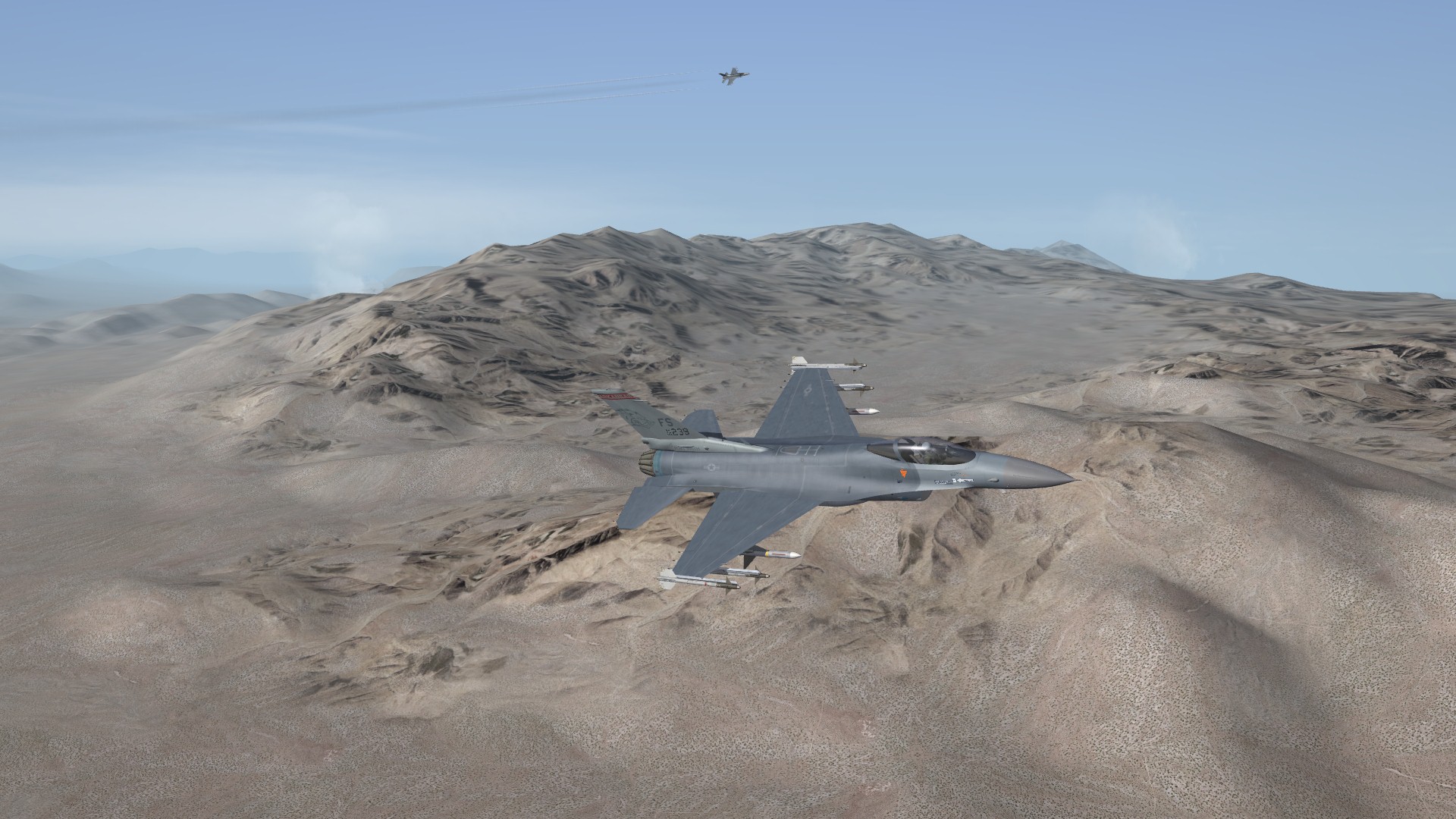
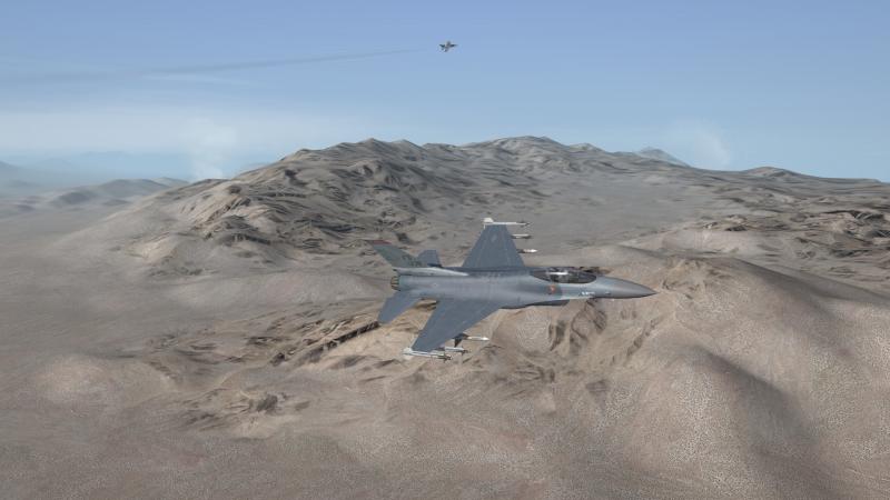
No targets placed yet, but a range near China Lake...

-
That was just done as an experiment. Just wanted to see if they would raise up. For this terrain I need them slightly higher than your values, so they stay above the mountains.
-
I haven't updated to the July patch, still on the previous patch. I have no problem raising the cloud height up. http://combatace.com/topic/78559-question-about-cloud-height/
-
Northern Californian Coast...

-
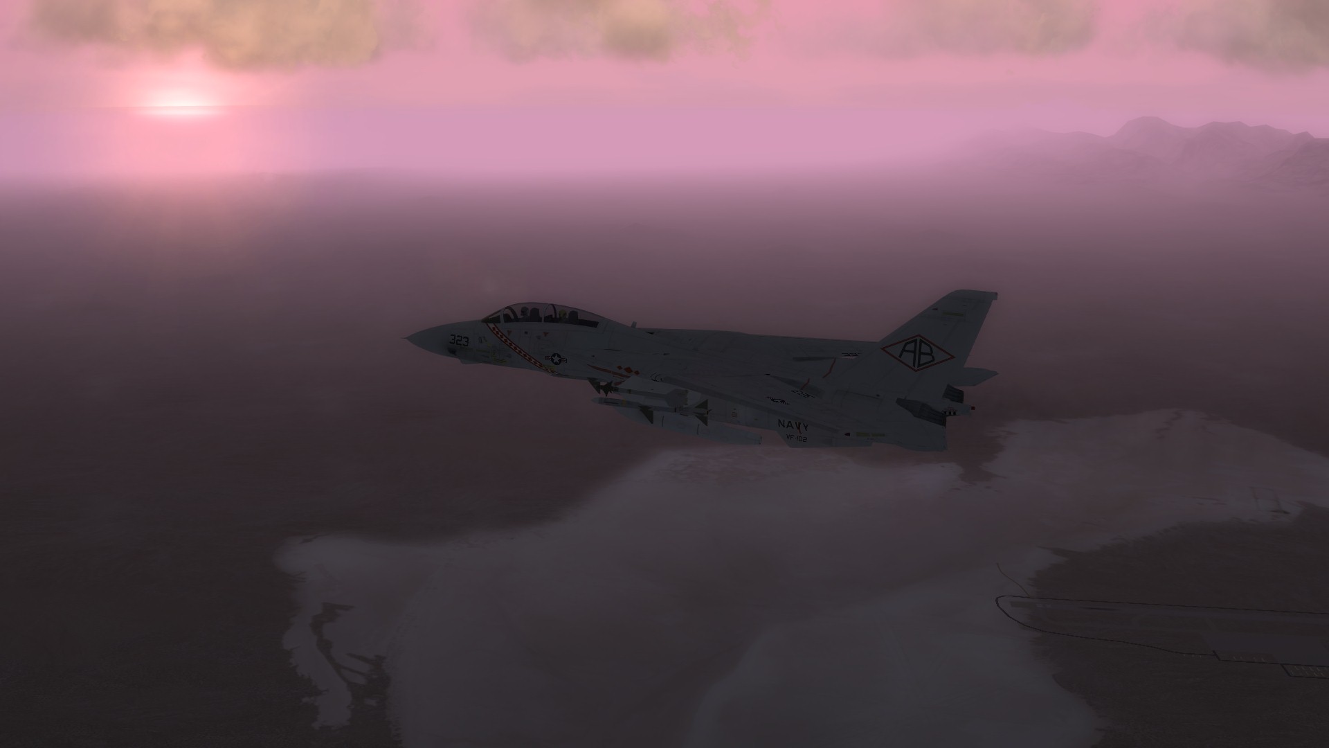
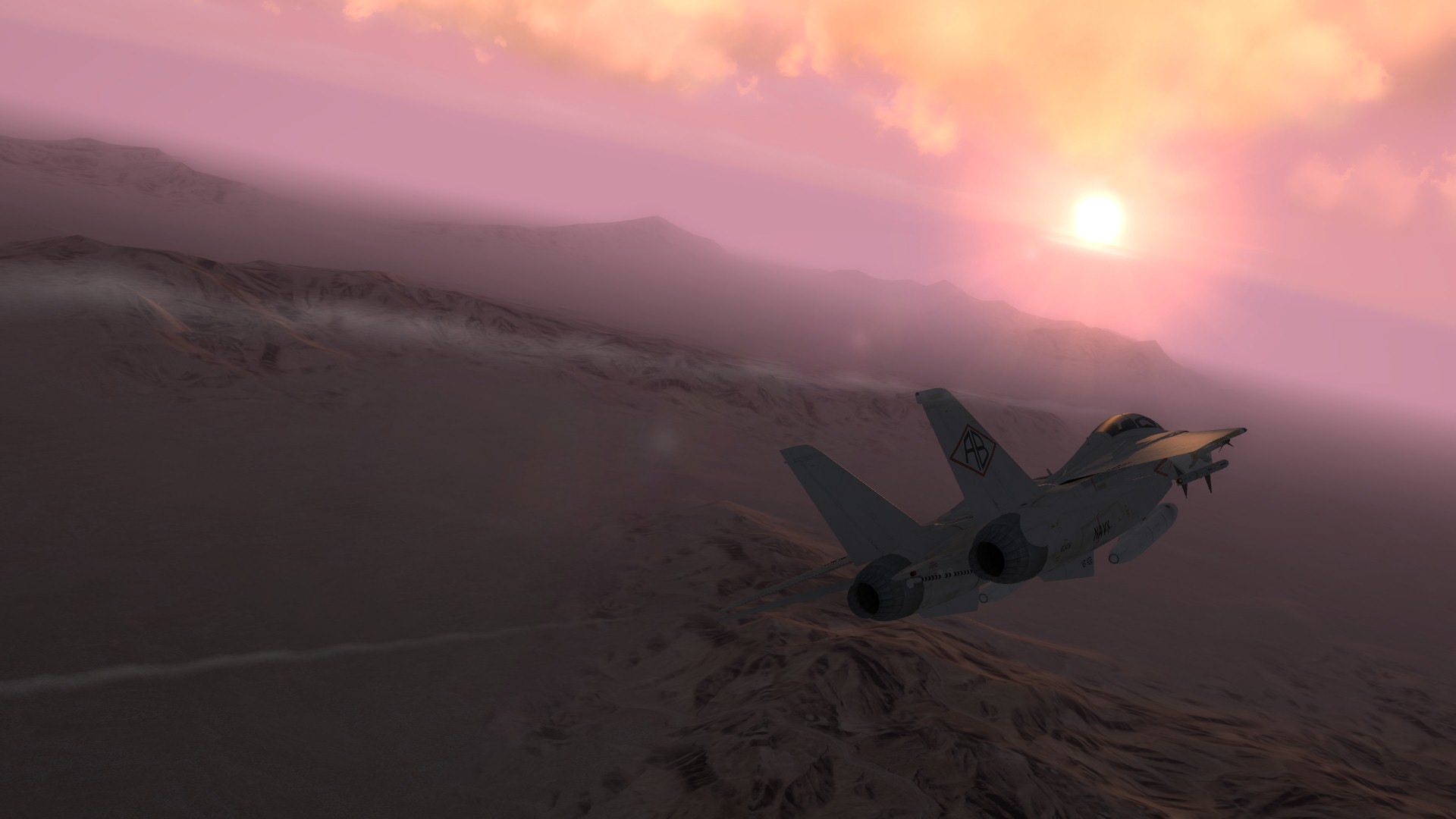
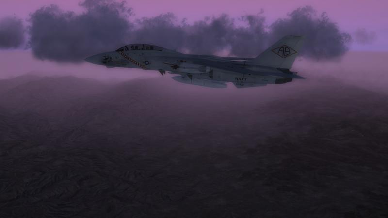
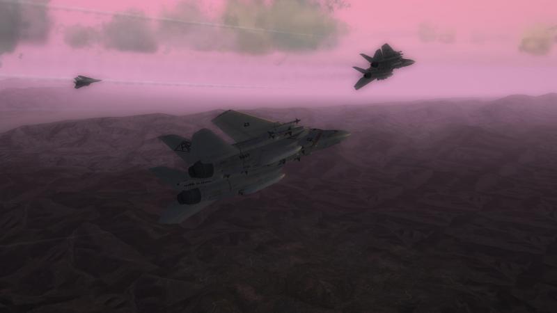
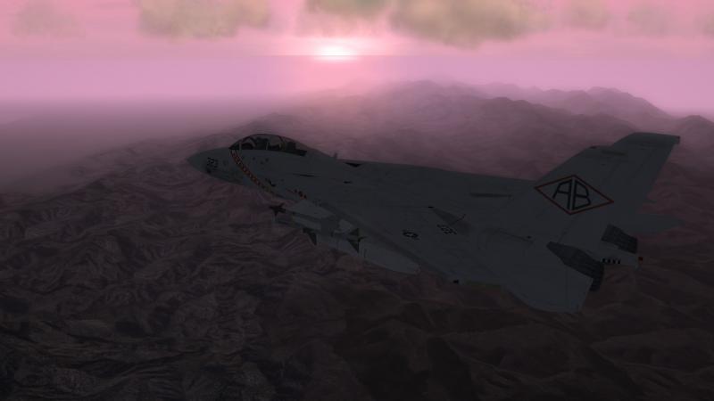
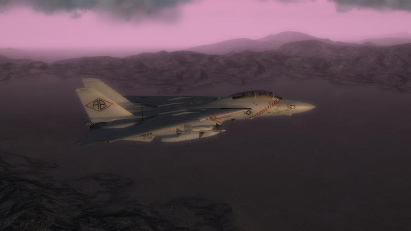
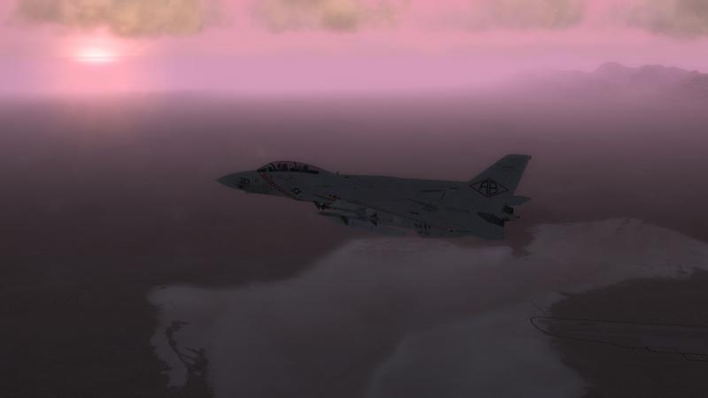
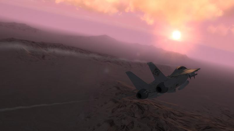
Dawn flight...
-
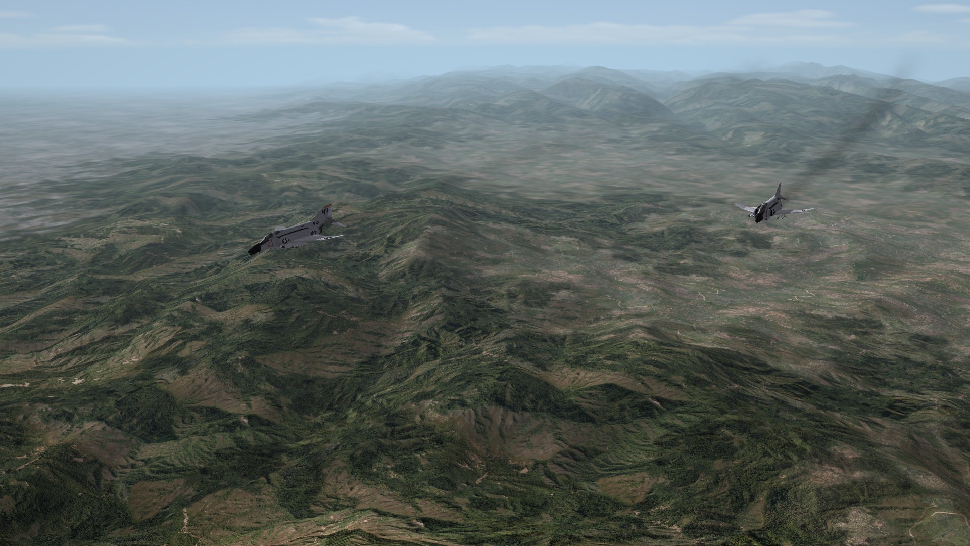
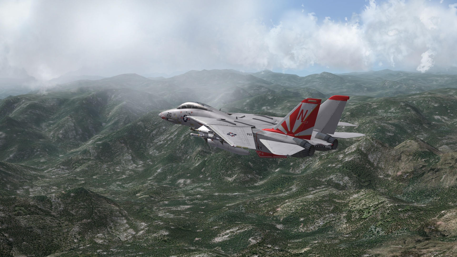
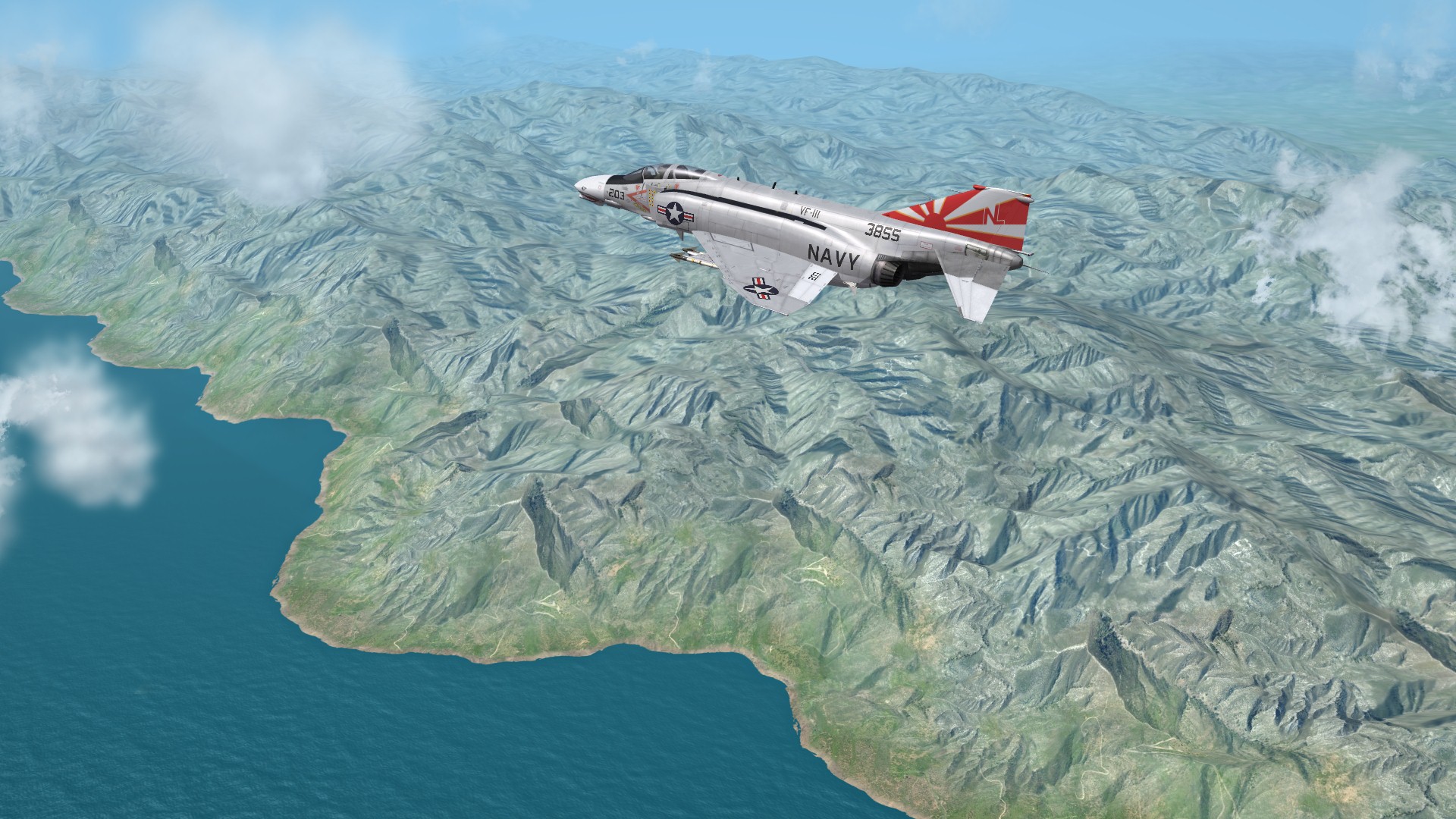
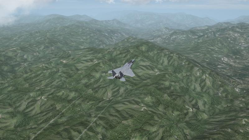
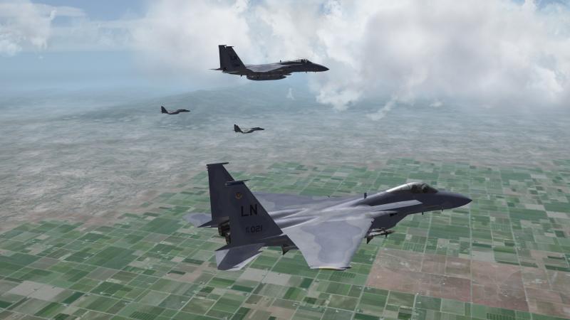
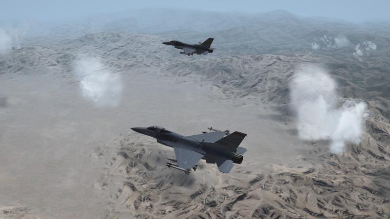
Eagles...
-
Why? In my EnvironmentSystem.INI, I have: MinBaseAltitude=5050.0 (16568 feet) MaxBaseAltitude=5100.0 (16732 feet)

-
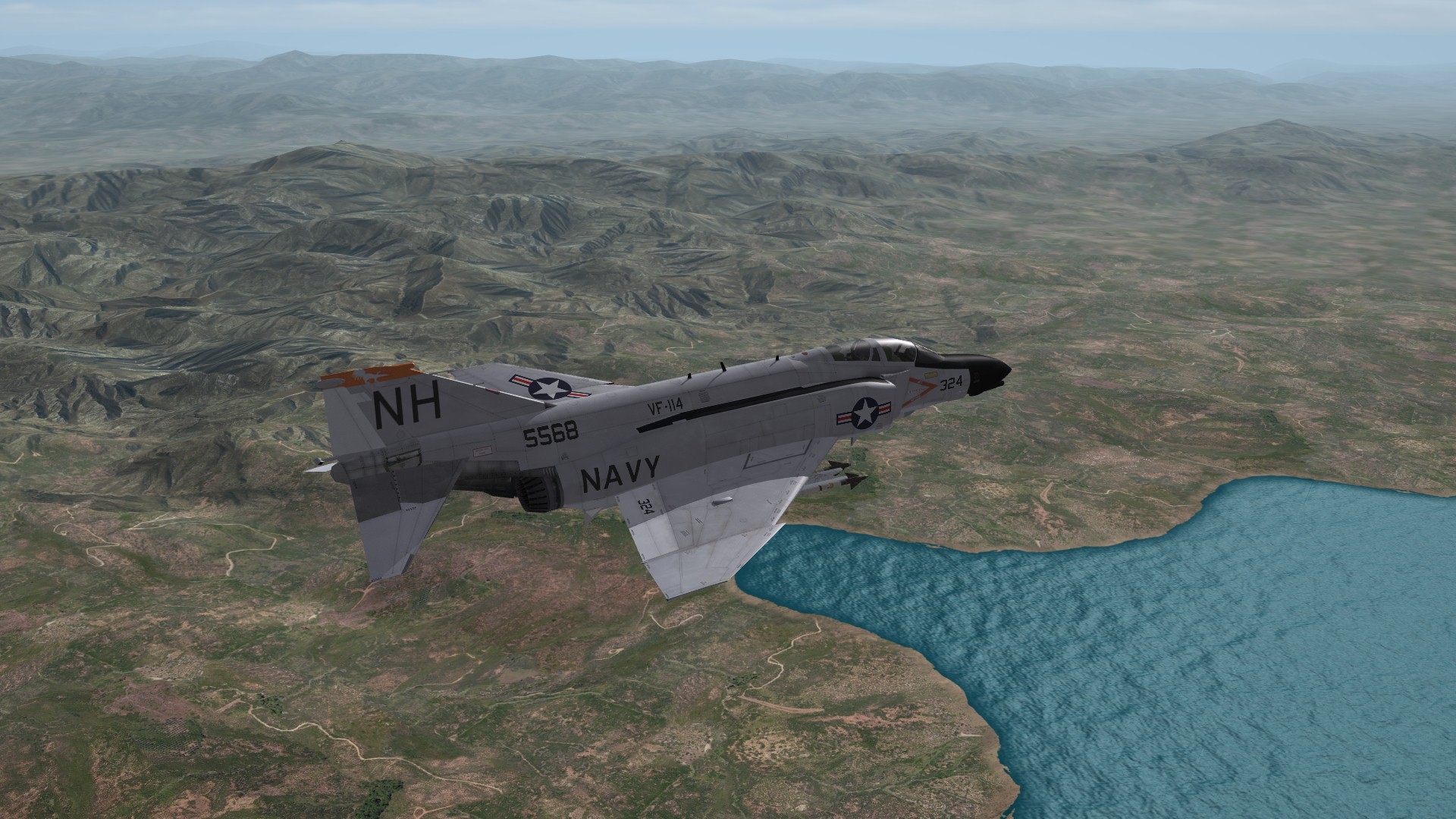
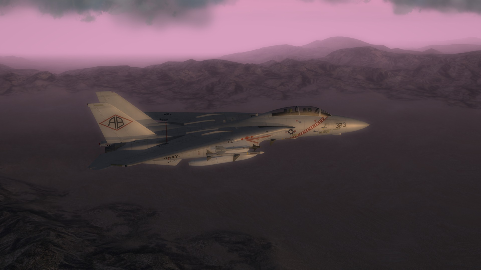
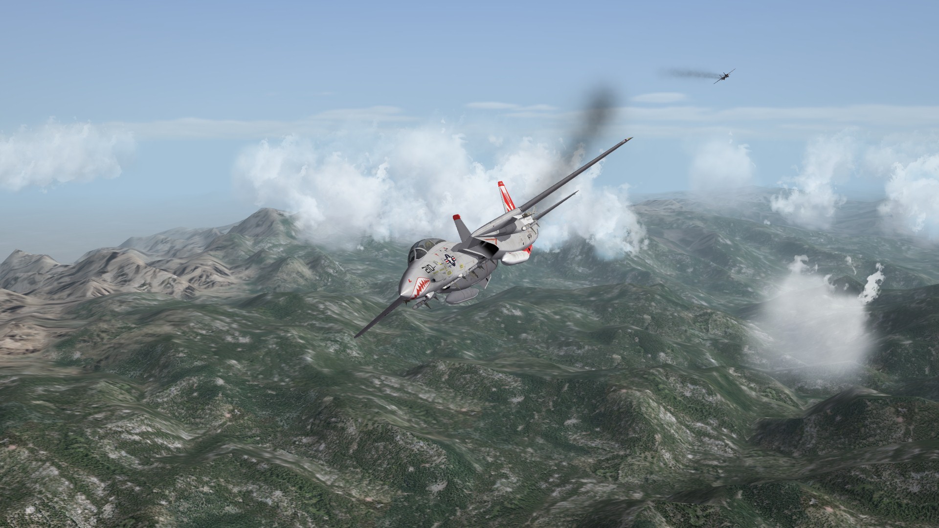
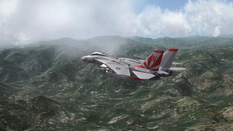
Tomcats

-
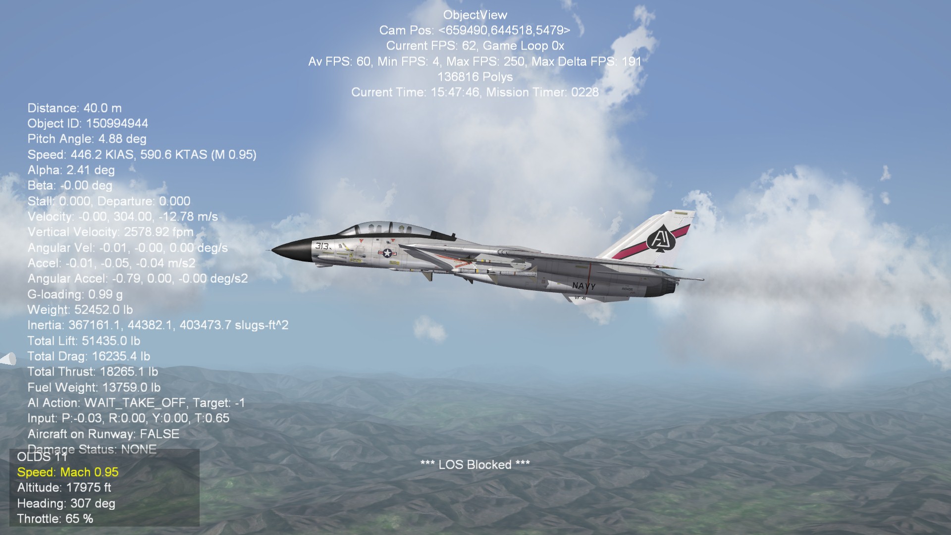
At some point, did we loose the ability to change the height of clouds? I thought I remember someone saying TK had locked that, regardless of what we entered in the EnvironmentSystem.INI. With the current patch, it is working for me. So either TK opened it back up, or I'm just nuts.
-
how to create road airfields
JSF_Aggie replied to slick cowboy's topic in Mods & Skinning Discussion
What do you mean by "not finding the runway"? An aircraft has to have MINBASESIZE=SMALL in its _data.INI . -
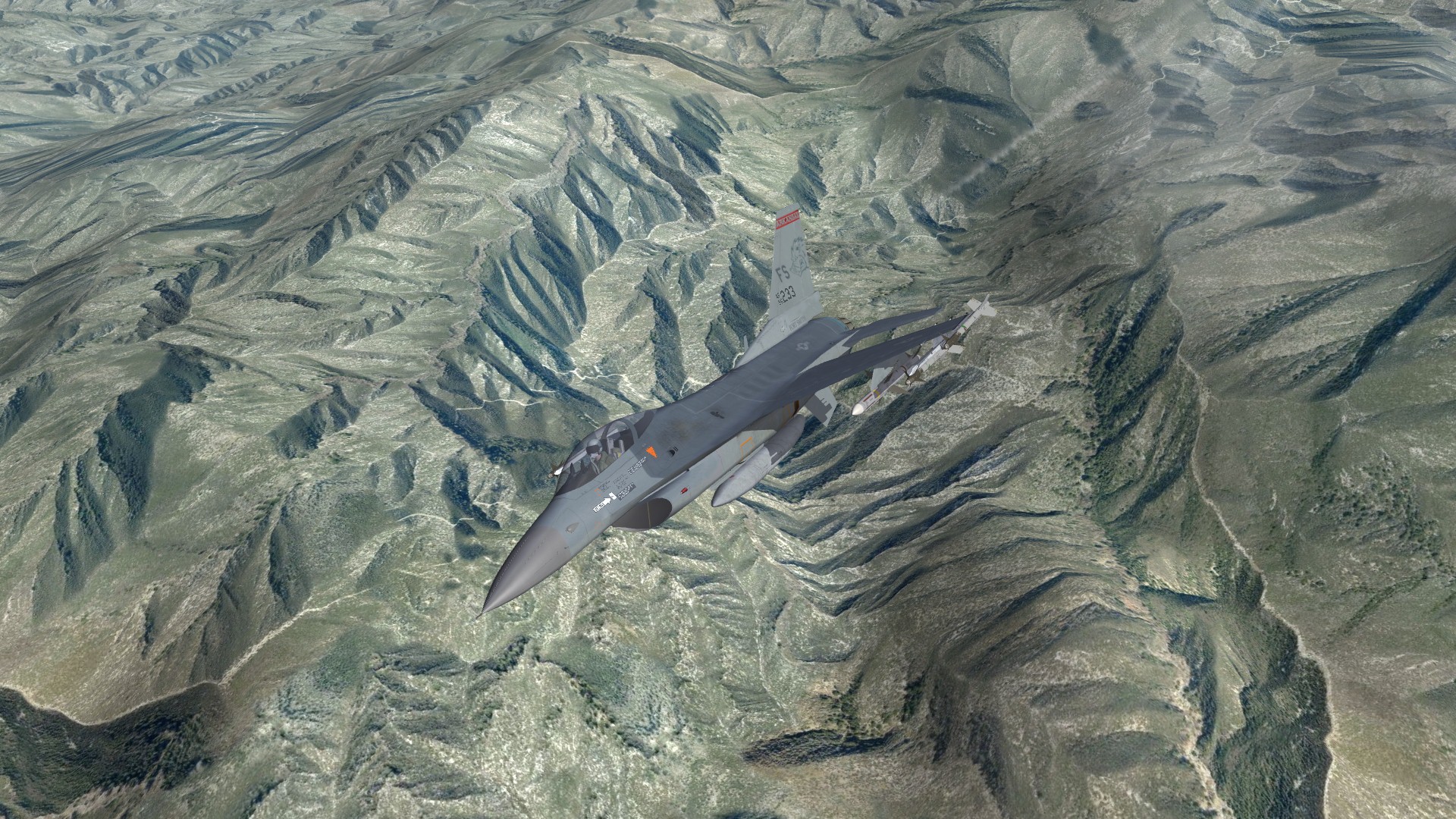
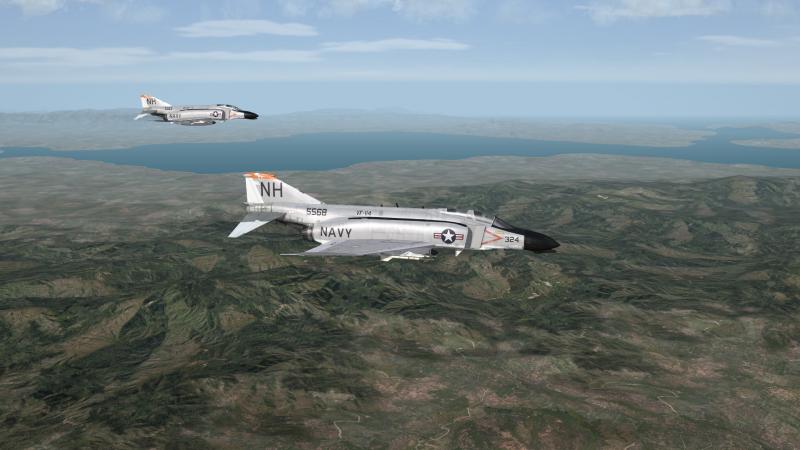
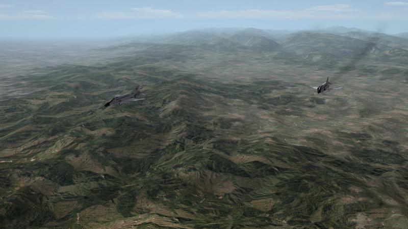
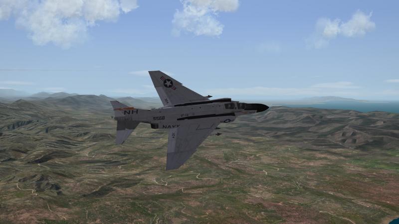
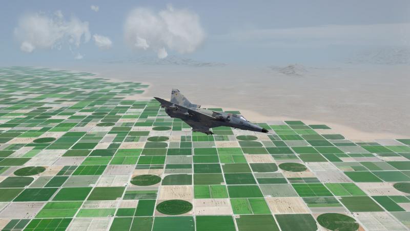
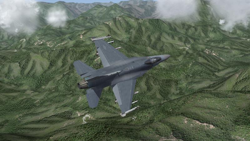
Northern California

-
In the May Patch, it looks like TK modified the .lod, but didn't include the _data.ini entries for the drooping ailerons. Attached is a _data.ini with the J's entries from the drooping ailerons, and the J's stabilizers. F-4N_DATA.rar

-
Is it just a cosmetic change? Wouldn't he have had to update the F-4N_data.ini to make any flight model changes?
-
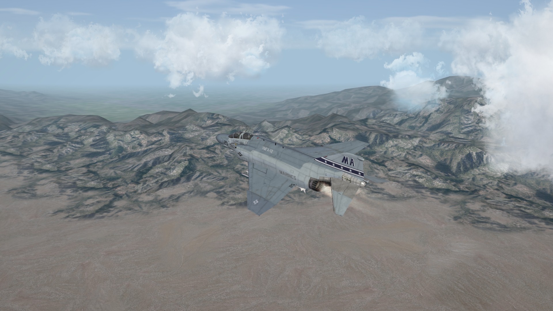
Thanks guys, about a month or two. Yuma MCAS, Salton Sea area...

-
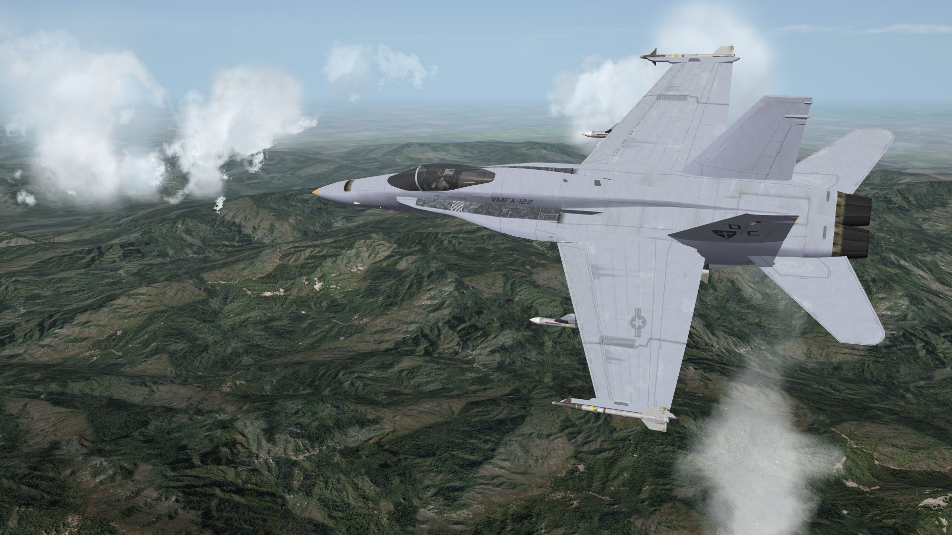
More Southern Cali...

-
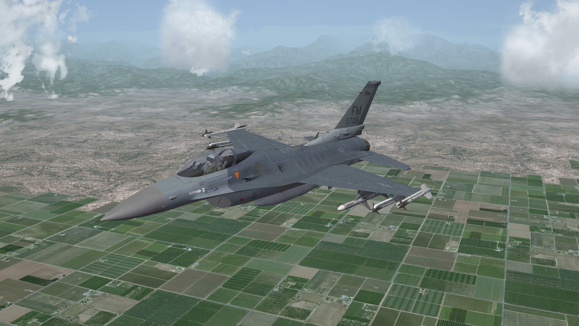
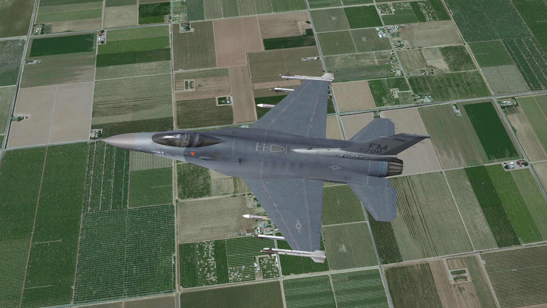
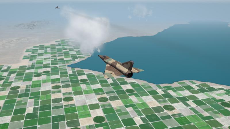
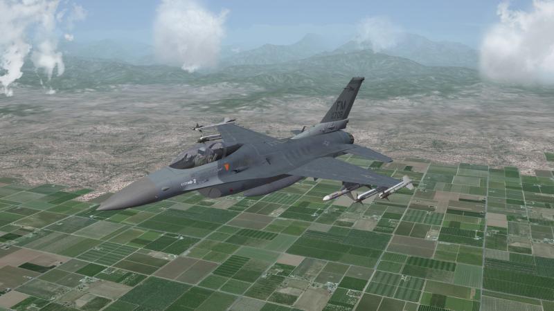
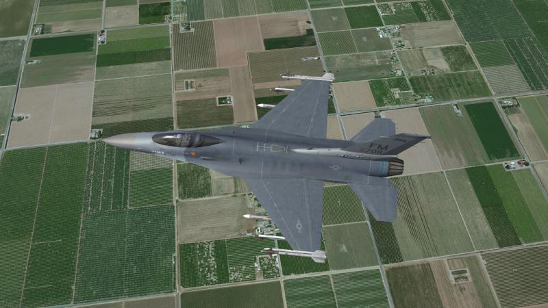
Fresno area...
-
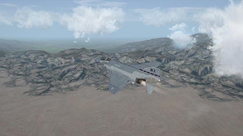
Launch bar is up