

malibu43
-
Posts
2,242 -
Joined
-
Last visited
-
Days Won
6
Content Type
Profiles
Forums
Gallery
Downloads
Store
Everything posted by malibu43
-
The Offspring - End of the Line Hank Williams Jr - Born to Boogie Metallica - Unforgiven II Rise Against - Give it All Alabama - Down Home Goldfinger - Only a Day NoFX - Pharacist's Daughter Another Damn Disappointment - Rotten Sublime w/ Rome - Paper Cuts Pennywise - Surfin' USA
-
I just posted some shots at SimHQ from a flight on Saturday with my in-laws. I'm not going to re-post them, but here is the link for the SHQ thread: http://simhq.com/forum/ubbthreads.php/topics/3412084/Local_flight_lot_s_of_pics.html#Post3412084
-
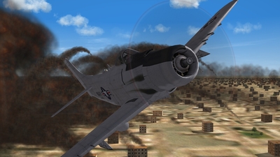
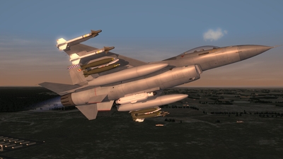
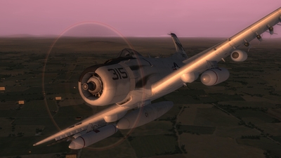
Early morning strike
-

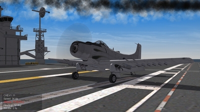
From the album: malibu43's album
-
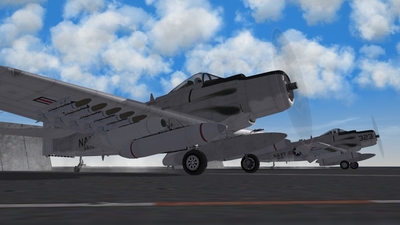
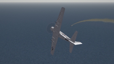
From the album: malibu43's album
-
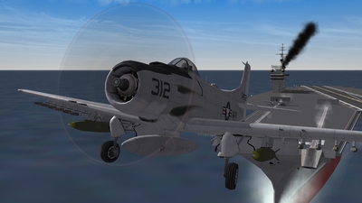
From the album: malibu43's album
-
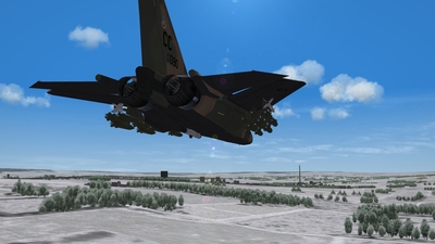
From the album: malibu43's album
-
From the album: malibu43's album
-
From the album: malibu43's album
-
From the album: malibu43's album
-
From the album: malibu43's album
-
From the album: malibu43's album
-
From the album: malibu43's album
-
From the album: malibu43's album
-
Question about terrain height and clouds
malibu43 replied to malibu43's topic in Mods & Skinning Discussion
Thanks Wrench. I'm a ware that "higher" terrains will be closer to the clouds. I think I didn't explain my original question well enough. I was wondering if it was possible to "lift" the stock terrains (including oceans and everything) by a few thousand feet so that the cloud deck would appear lower. However, after searching around, it looks like there may not be an easy way to do this (a simple .ini edit would have been great), and it probably requires re-painting the height map, flattening airfields, etc... Plus, there would be performance issues for some aircraft if what was, even though it may be minor (all aircraft would fly like they're 5000' higher). Probably just easier to deal with the less than perfect cloud height. -
So I've been on this kick the last couple of days trying to get some decent looking clouds back into the game at the current patch level. I noticed that the broken cloud layer when flying over the SF2 Range, is actually close to where it should be. About 5000'. However, in the same install, when I fly in Vietnam, the cloud base is up closer to 10,000' and looks pretty silly. The only thing I can think of here is that the cloud base altitude is restricted to MSL altitudes, so a terrain that's higher above sea level will have clouds at a lower AGL altitude. So here's my question - is there a way to trick the game into thinking a terrain is higher above MSL than it really is? I looked through .ini files for the terrains and couldn't find any references to altitudes. Is this something that is controlled via the HFD or TFD file? I don't really know much about terrain editing, so I'm looking for someone more experienced to step in and comment on if there are any possibilities here or not. If it was easy, someone probably would have done it already, I know. But I just thought I'd ask... Thanks!
-
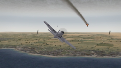
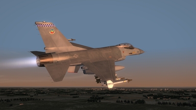
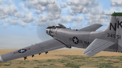
Sandy 1-1, on station.
-
From the album: malibu43's album
-
Dels - great work on this cockpit! Just a heads up - when I use mouse panning to look all the way back over my shoulder and then look up and down, the screen goes from slightly darker to slightly lighter. It looks as if the pilot's viewpoint is passing in an out of the canopy. I don't have a screen shot right now, but I can grab one later if that helps. Totally not a show stopper and probably won't even come up that often, but I just wanted to let you know.
-
Check the readme.
-
-
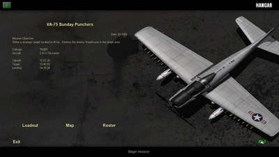
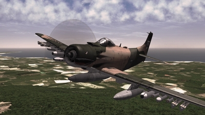
From the album: malibu43's album
-
From the album: malibu43's album
-
Or even better, back up the AI-made-flyable *aircraf*.ini files in a .rar file (which I have done for A-1's, Mirages, F-104's, and the A-6). Then after a patch all you need to do is drag and drop back in. If you keep them in approrpriately named folders, it's just one drag-and-drop and you're all set!
-
More questions - posted these at TW forums, but thought I may get a quicker answer here (at least for some of it)... Quick question - How does the campaign customizer choose what sort of missions will be flown by the unit the user creates? In campaign_data.ini files, the missions types can be broken down by percentages. Does it simply go off of the primary and secondary roles defined in the aircraft's data.ini file? If so, does it just split all the primary roles into even percentages? This would work well for more specialized A/C like the A-10, but I'm curious what would happen with an F-4 that is so versitile. Would you get even splits of all those mission types? Thanks. PS - Also, how does it handle units based on Carriers? Is it a selectable option is a carrier is already in the campaign? And one other thing (sorry) - does it look at the campaign files in the .cat files or will it look at the campaign files in the mod folder? For example, I've added carriers to the Desert campaigns, but it would be nice to use the editor to add additional units in the campaigns instead of continuously going back and editing the files to add more units.