krfrge
-
Posts
1,052 -
Joined
-
Last visited
-
Days Won
6
Content Type
Profiles
Forums
Gallery
Downloads
Store
Everything posted by krfrge
-
From the album: KRFRGE's work
-

From the album: KRFRGE's work
-
From the album: KRFRGE's work
-
From the album: KRFRGE's work
-
From the album: KRFRGE's work
-
PFunk, Make sure those 2 airbases are not beyond the wall and I would also check the main INI file of the terrain to make sure the map size reflects 1500km [Map] FilenameFormat=PlanningMap%d.bmp Width=1500000.0 Height=1500000.0 NumZoomLevels=3
-
daddyairplanes, My understanding is he decals have to be in the DECALS folder that is in the main OBJECTS folder.
-
Chinese territorial claims
krfrge replied to Ice Man's topic in Mission & Campaign Building Discussion
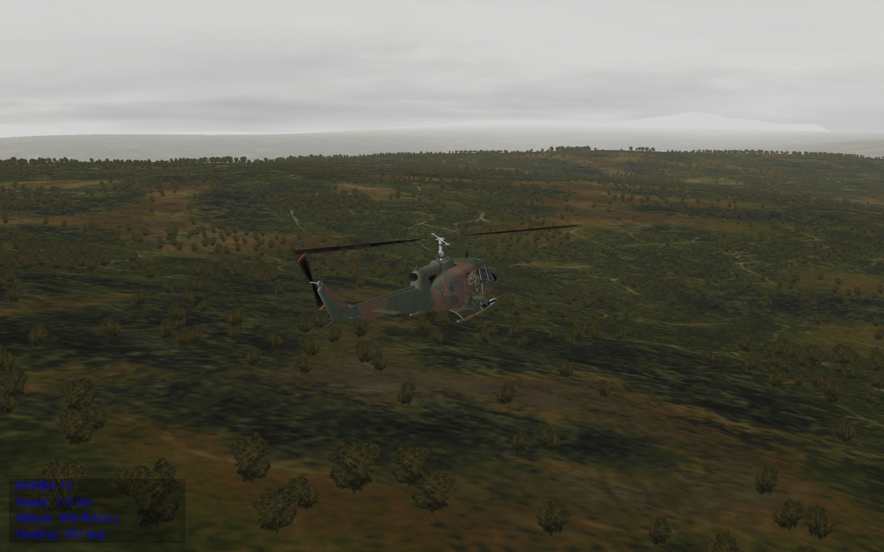
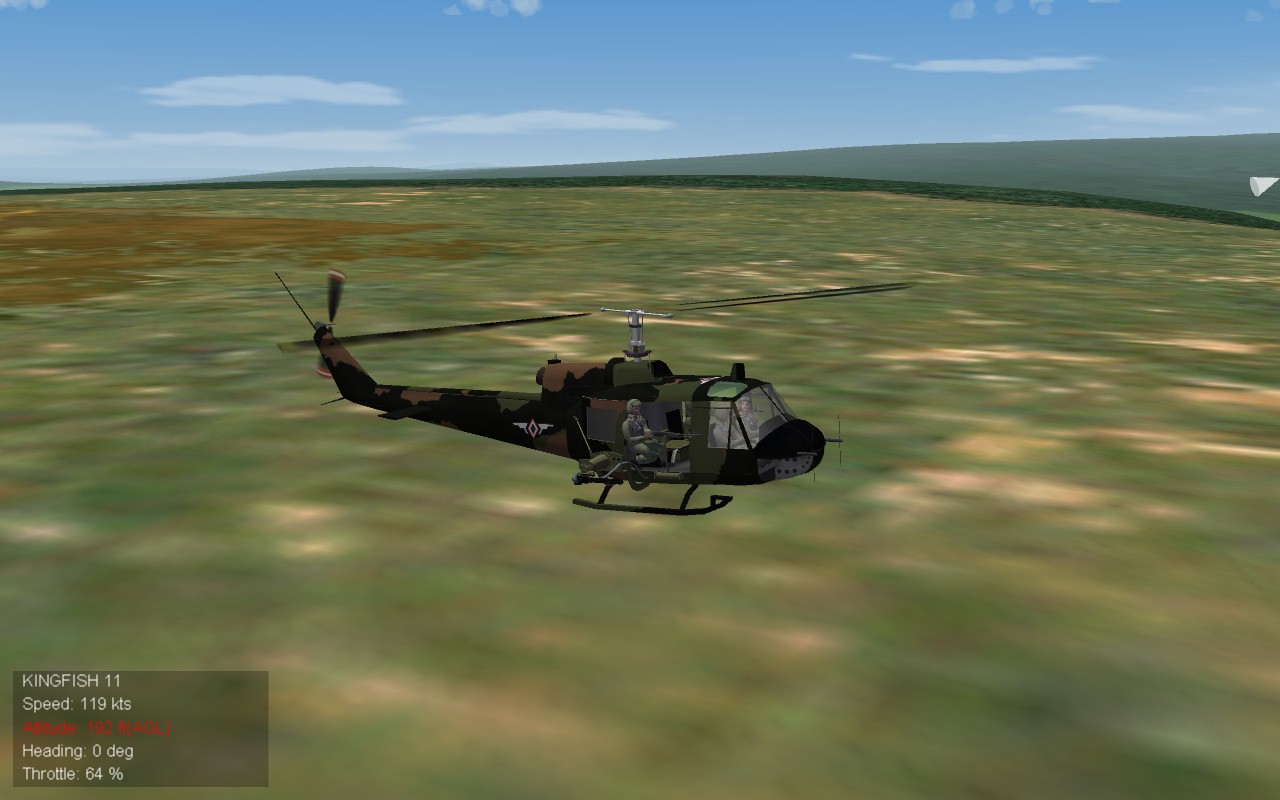
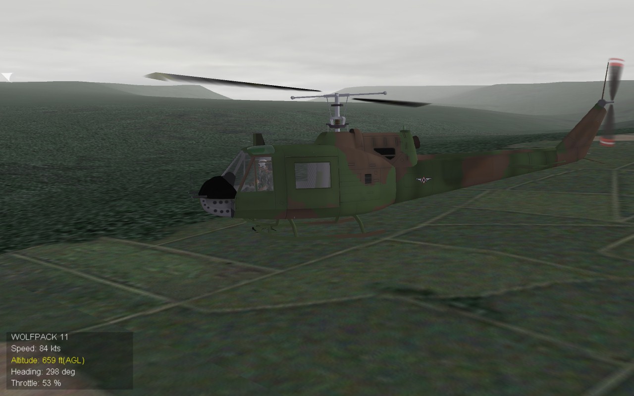
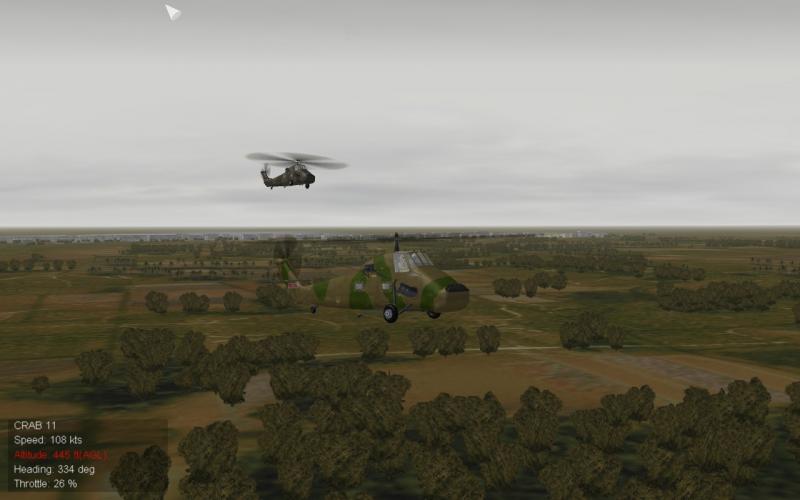
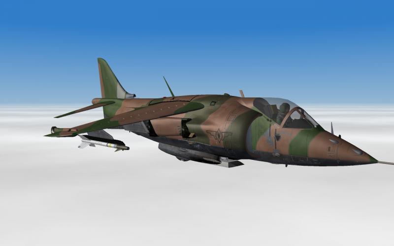
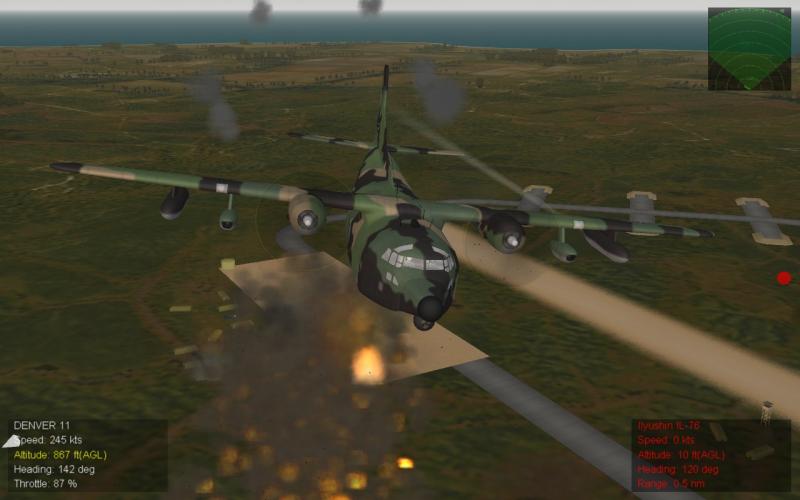
More air ops. [Tinkering with camo schemes]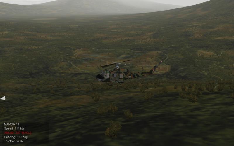
-
Chinese territorial claims
krfrge replied to Ice Man's topic in Mission & Campaign Building Discussion
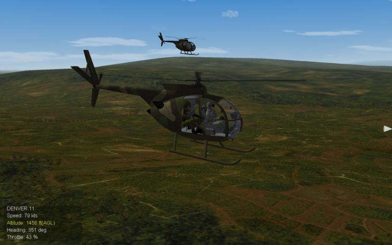
Philippine Army air ops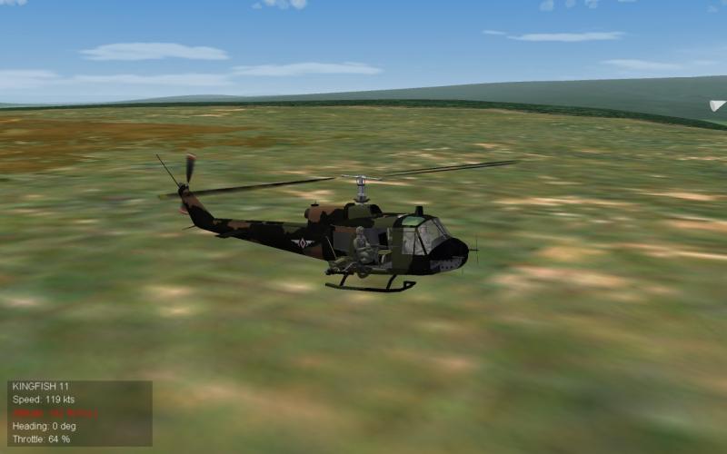
-
Recommend you check the DC-10 folder and make sure all referenced files are there. I have had crashes when there was a missing file.
-
Ignacioc91, Are the ships in the Coastal Range Terrain types.ini? If they are not you will need to add them. I would also suggest you match the individuals ships data.ini folder entry to match the terrain type ini. Example: Using a from the CargoShip1 from Ground Object folder Here is the CargoShip1_DATA.ini [MissionData] NationName=GENERIC ServiceStartYear=0 ServiceEndYear=2040 GroundObjectRole=CARGO_SHIP <---------------- This should match the Terrain type.ini entry (See below) Availability=VERY_COMMON And from the Terrain_Type.ini [TargetType1561] Name=CargoShip1 FullName=Seagoing Cargo Ship TargetType=CARGO_SHIP <------------------- This should help.
-
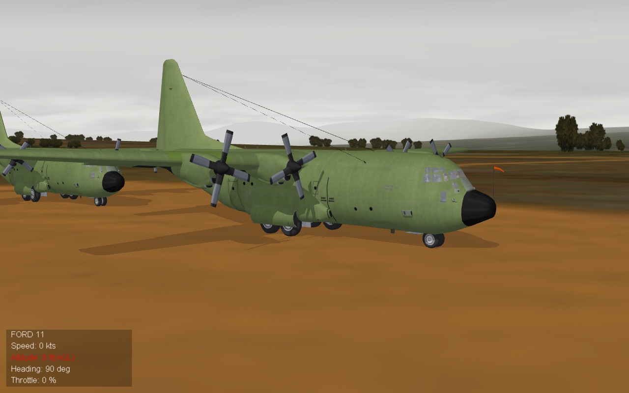
Chinese territorial claims
krfrge replied to Ice Man's topic in Mission & Campaign Building Discussion
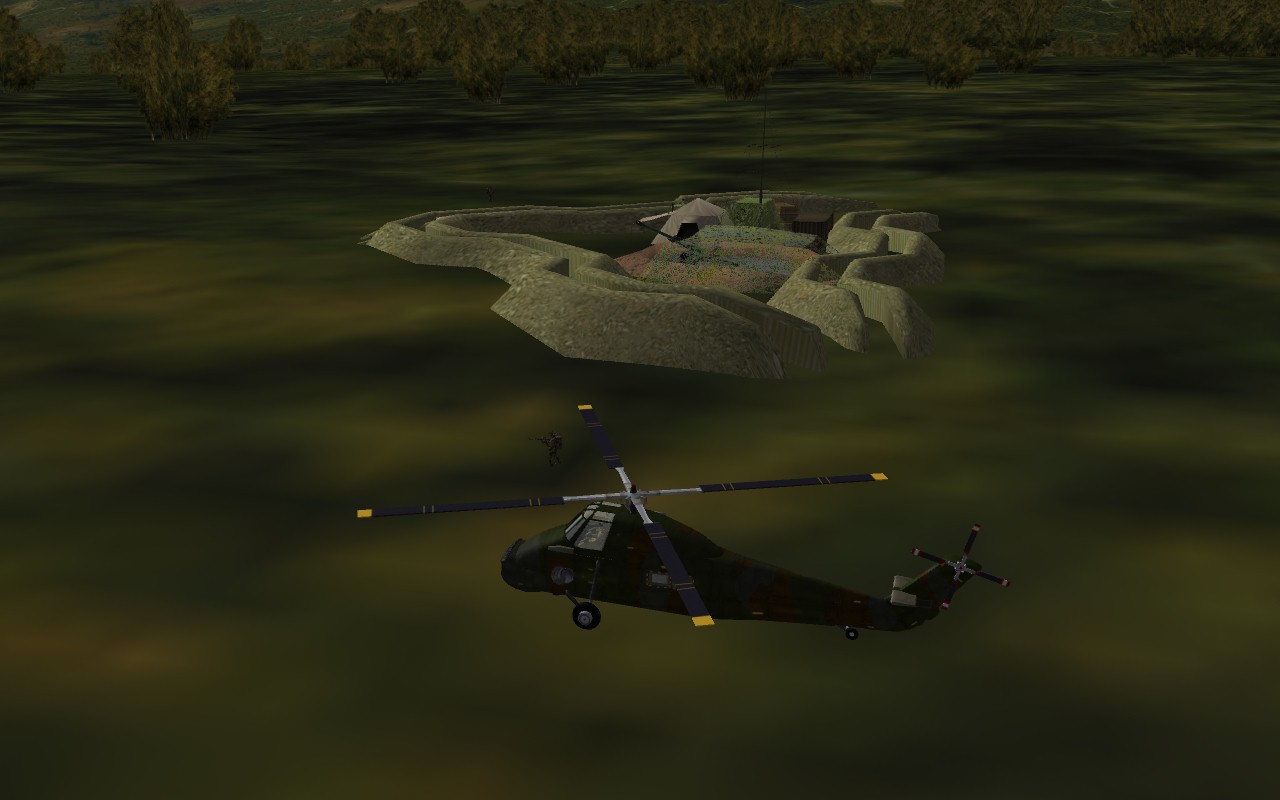
Remote outpost resupply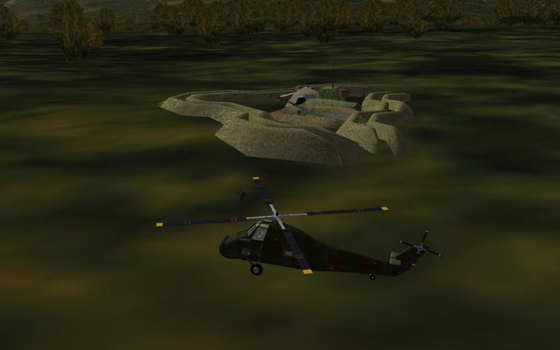
-
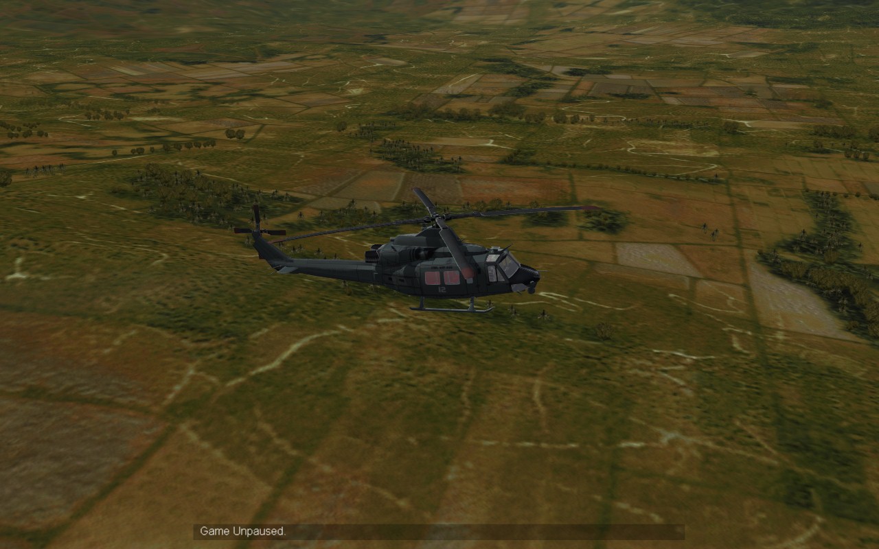
Chinese territorial claims
krfrge replied to Ice Man's topic in Mission & Campaign Building Discussion
Always reputable operators!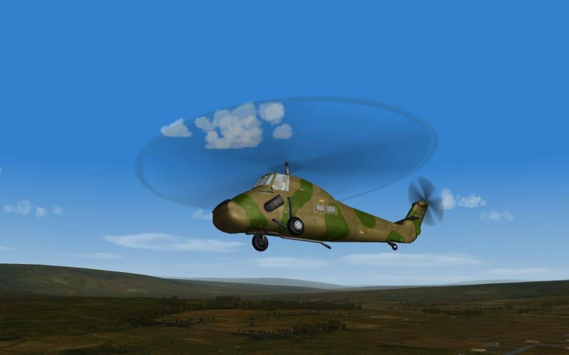
-
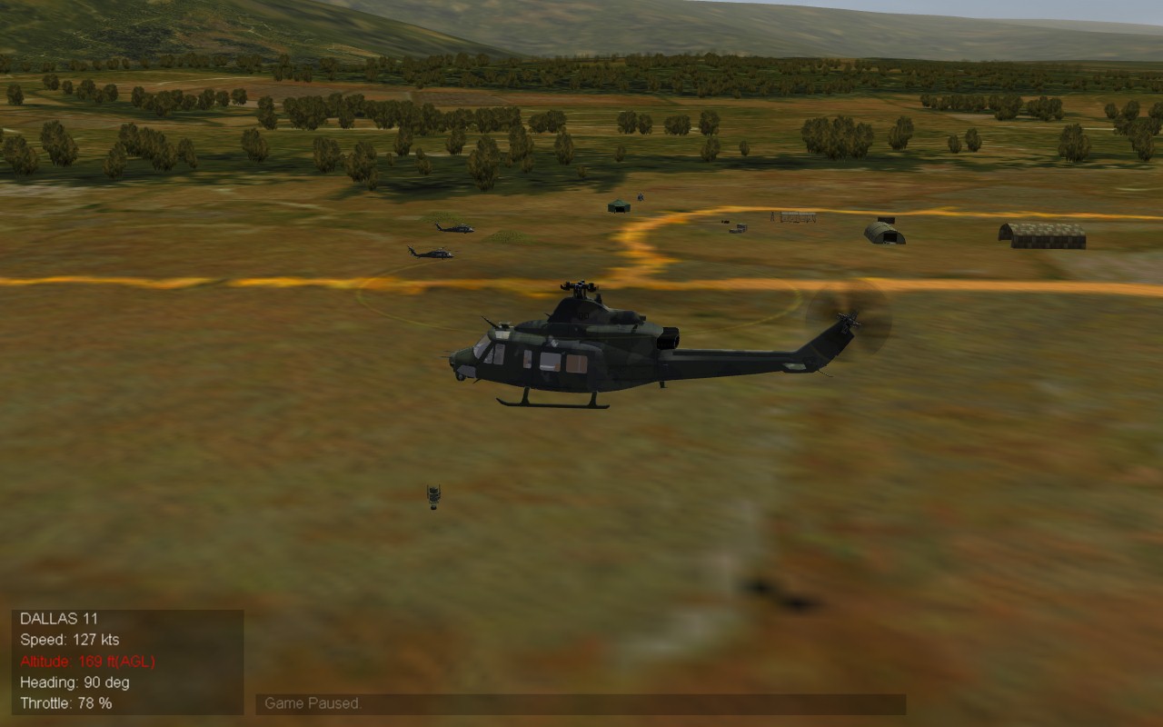
Chinese territorial claims
krfrge replied to Ice Man's topic in Mission & Campaign Building Discussion
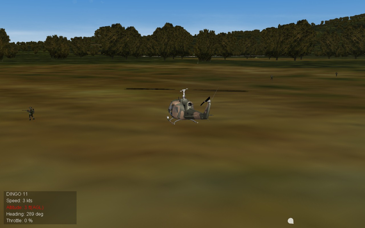
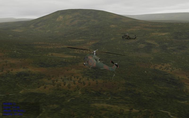
Extraction #2
-
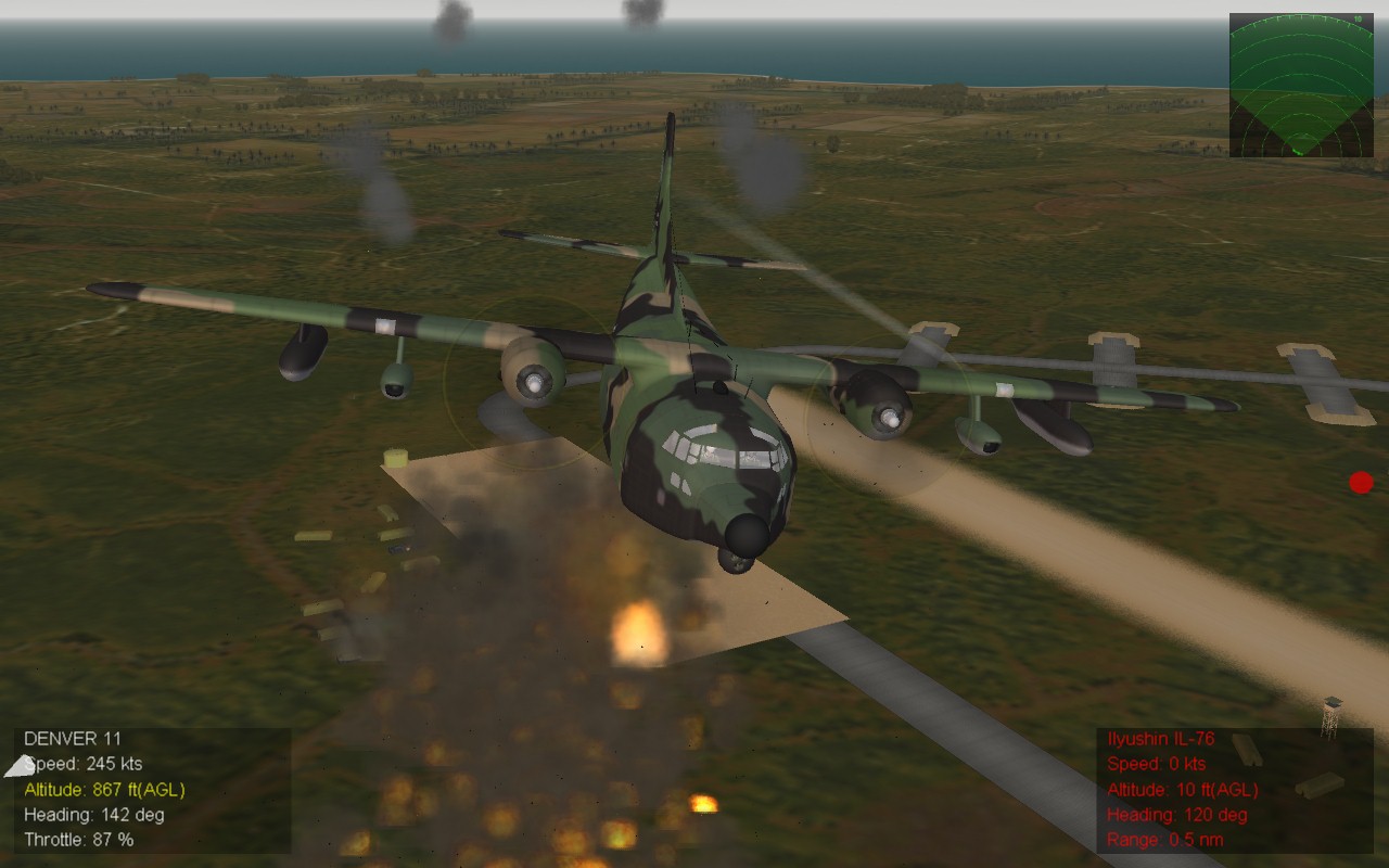
Chinese territorial claims
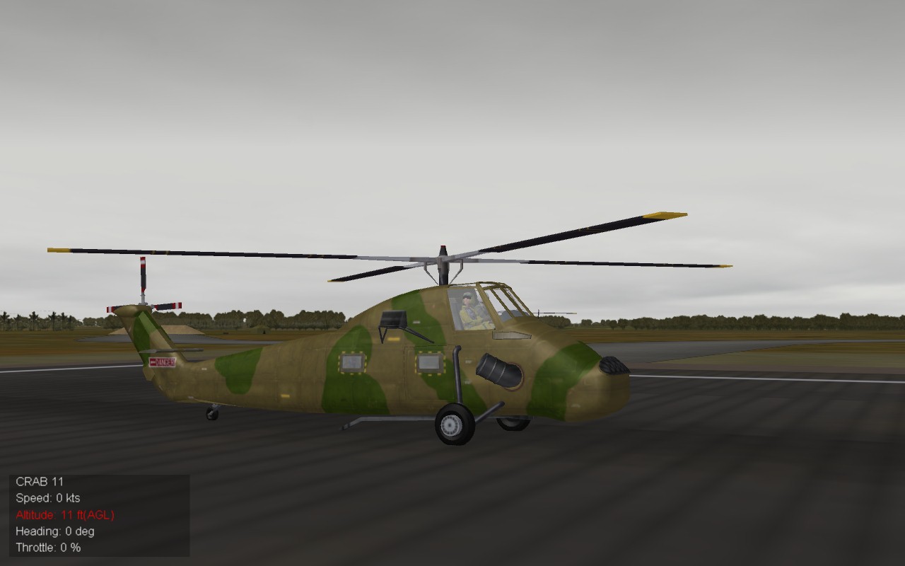
krfrge replied to Ice Man's topic in Mission & Campaign Building Discussion
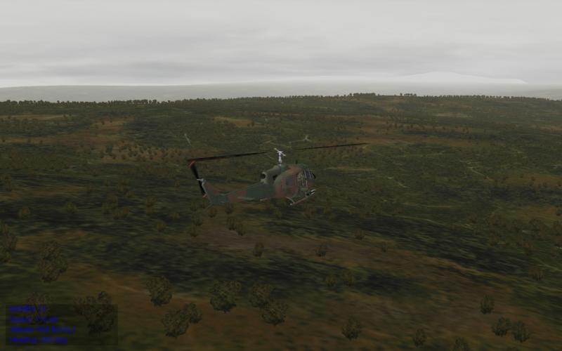
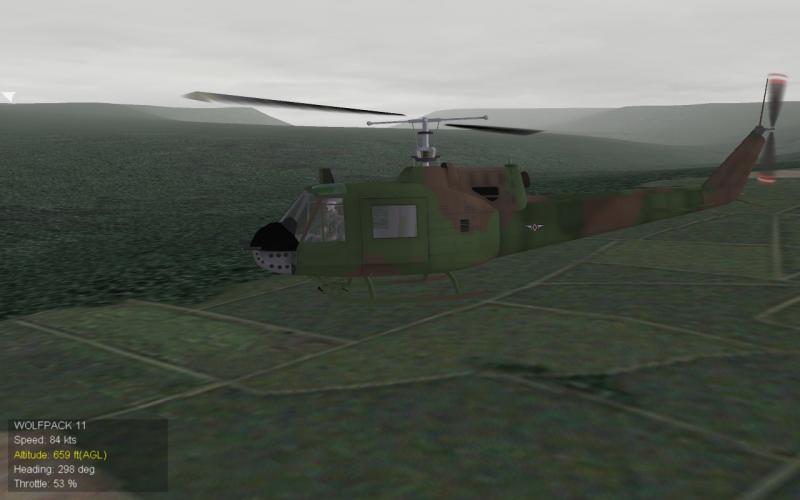
Early 1970's Cloudy morning recovery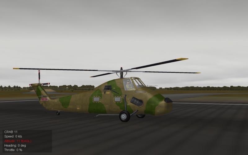
-
Stratos, I believe the wall on that map is 80Km's from the edge of the map.
-
Happy New Year to all and many thanks to all who have contributed to this excellent site. May 2017 bring all a brighter and happier year.
-
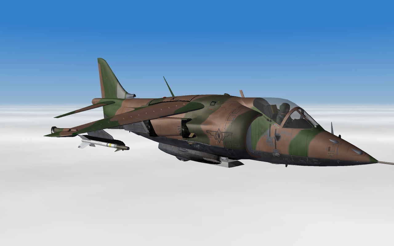
Chinese territorial claims
krfrge replied to Ice Man's topic in Mission & Campaign Building Discussion
Philippine Air Force assistance...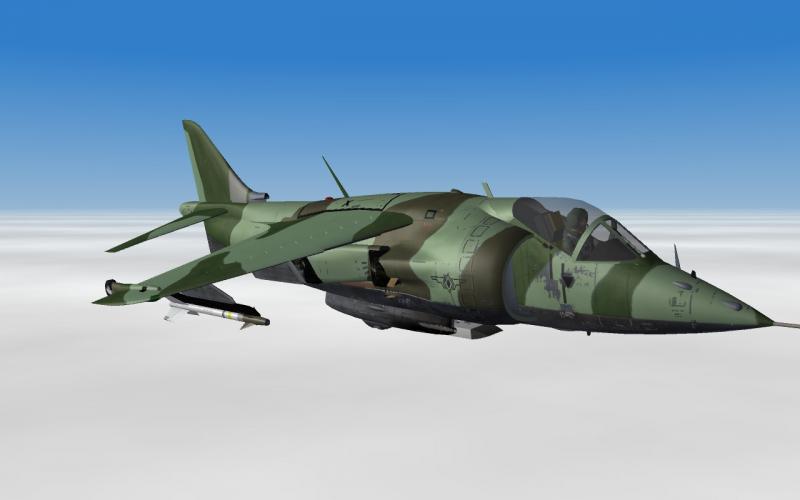
-
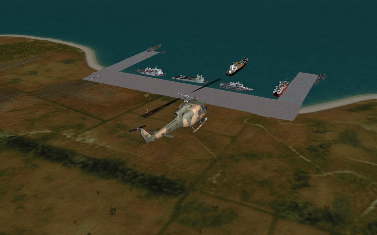
Chinese territorial claims
krfrge replied to Ice Man's topic in Mission & Campaign Building Discussion
Unloading acitivites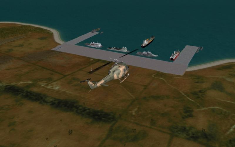
-
Chinese territorial claims
krfrge replied to Ice Man's topic in Mission & Campaign Building Discussion
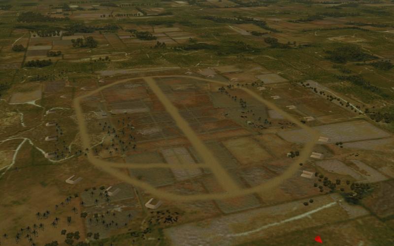
Hasty Airfield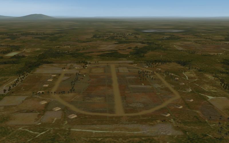
-
Chinese territorial claims
krfrge replied to Ice Man's topic in Mission & Campaign Building Discussion
Reinforcements on the way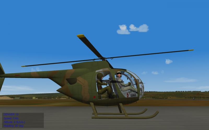
-
Chinese territorial claims
krfrge replied to Ice Man's topic in Mission & Campaign Building Discussion
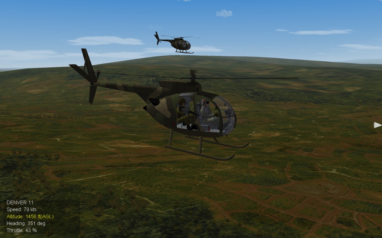
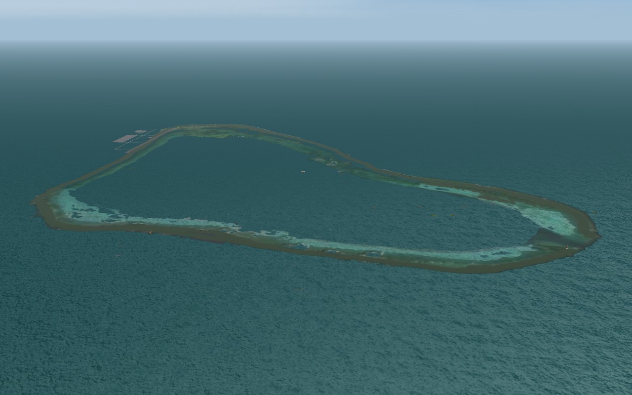
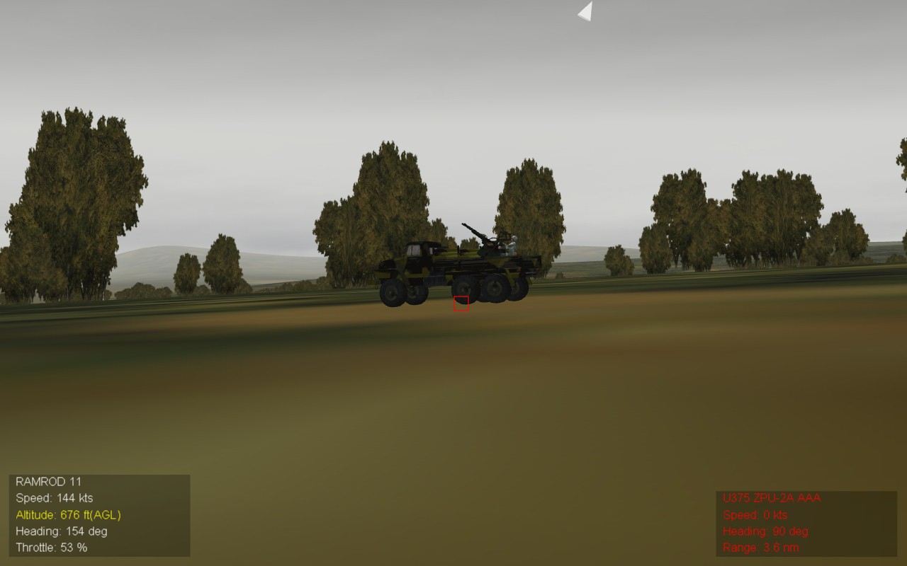
Scouts -
Chinese territorial claims
krfrge replied to Ice Man's topic in Mission & Campaign Building Discussion
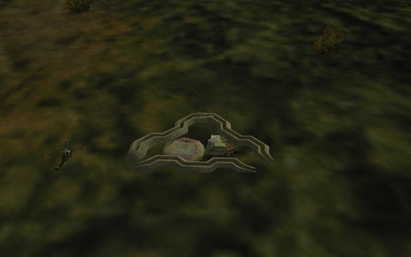
Early morning flight in 2014 stumbled upon this interesting development. Reworking the airfield Could be a undersea drone down there for all anyone knows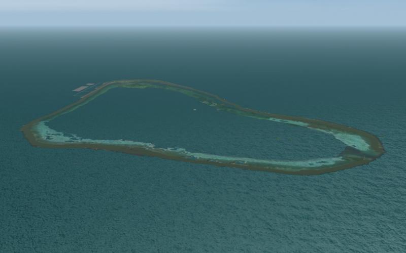
- 409 replies
-
- 13
-

-
Chinese territorial claims
krfrge replied to Ice Man's topic in Mission & Campaign Building Discussion
All, Work continues but I am trying to find out who first produced this OV-10. I am trying to locate a skin template for it as well as tinkering with the avionics / data inis to create an OV-10D NOS / NOGS aircraft. In the meantime, somebody had a bad day... Kindest regards - Krfrge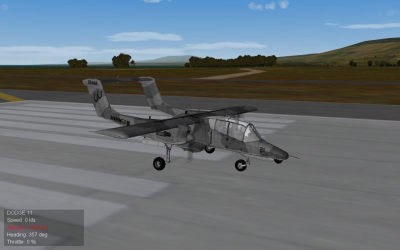
-
Chinese territorial claims
krfrge replied to Ice Man's topic in Mission & Campaign Building Discussion
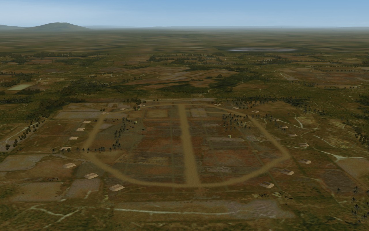
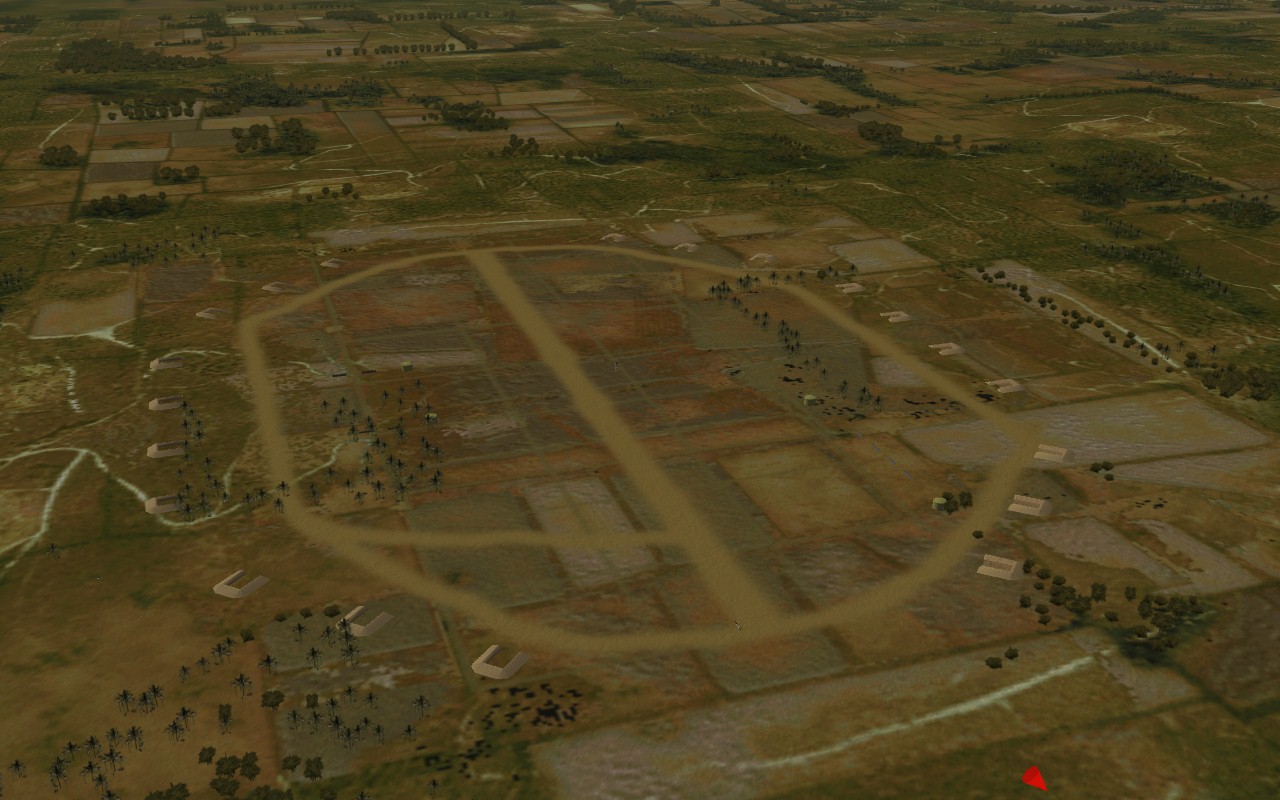
Mid-November update. I have been tinkering with airifield sizes and have come up with a helostrip.INI The below is a very hasty WIP but I am able to get A/C set for small airbases to launch from the location. The airstrip is set on a N/S setting Facing south just off the runway. (i will have to adjust the setting to get the starting A/C just on the runway Overhead view #1 Overhead view #2 Appreciate everyone's patience. Kindest regards - Krfrge