
About This File
/!\ IMPORTANT: You'll need my Planning Map Menu mod for this to work properly or your maps will be stretched! /!\
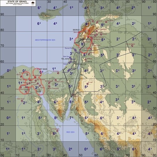
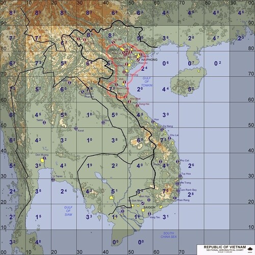
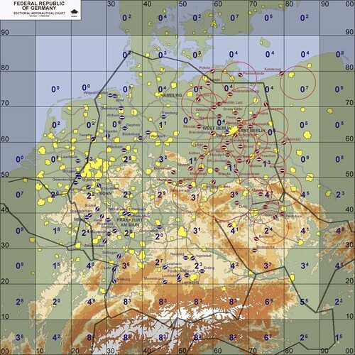
This is my attempt to add borders on main vanilla maps, plus a preview of most probable SAM radars locations and ranges, so that planning maps actually show some airspaces and radar covers, instead of AoE Gaia maps!!!
NOT every AA system is covered so it is not "instant 100% reliable fresh intel" cheat. But it's not like no one cares about recon either anymore! A compromise of some sort, so you can plan ingress/egress points and altitudes according to expected radar covers. But be advised: AAA will be waiting for you at low altitudes, and you never know exactly where they may hide. (SPOLIER: that's how most offensive aircrafts were lost during Cold War conflicts, SAM threats pushed them lower onto AAA engagement range. Now deal with it! ;;
DISCLAMERS:
-These frontiers are extrapolated the best I could according to TW map deformations and scales and are not intended to reflect 100% reality of actual borders around these places:
-ClaudeAI helped me put the engagement circles on each map,he proved useful for GermanyCE borders too, but for IsraelME and VietnamSEA, he was helpless lol. So I did my own interpretation of these borders, using Wikipedia to make sure airbases are in the correct country. (Let me know if I screwed some).
-Detection/engagement circles are not pinpoint accurate, but that's on purpose since I don't want to "cheat" or "spoil" the game, but more of a rough estimation. So don't Ingress/Egress right near these circles, you'd probably already be seen by radars a few miles before. Also, for the sake of complexity, I didn't/couldn't separate expected radar covers per time periods, but to keep it more generic.
Hope you'ill find this fun and helpful, cheers and happy huntings @all!
--
Ryder Sept{fr}
/!\ IMPORTANT: You'll need my Planning Map Menu mod for this to work properly or your maps will be stretched! /!\