Fubar512
-
Posts
8,418 -
Joined
-
Last visited
-
Days Won
42
Content Type
Profiles
Forums
Gallery
Downloads
Store
Everything posted by Fubar512
-
Screenshot Thread
Fubar512 replied to Dave's topic in Thirdwire: Strike Fighters 1 Series - General Discussion
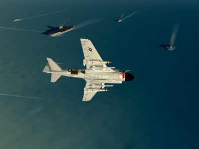
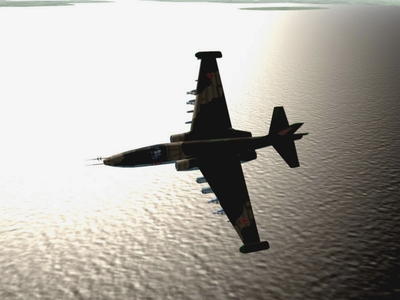
For KCT's benefit....I present "WoVMAC" -
-
More Razbam A-6s
Fubar512 replied to Fubar512's topic in Thirdwire: Strike Fighters 1 Series - General Discussion
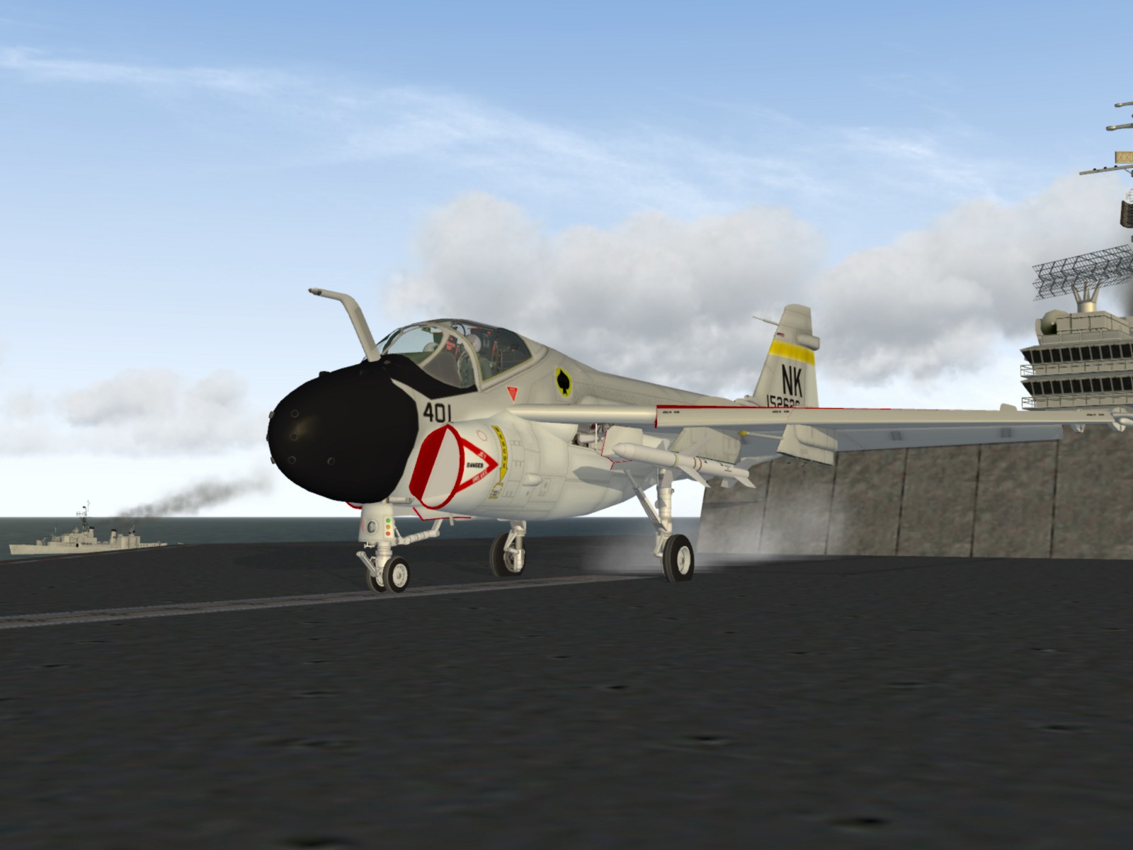
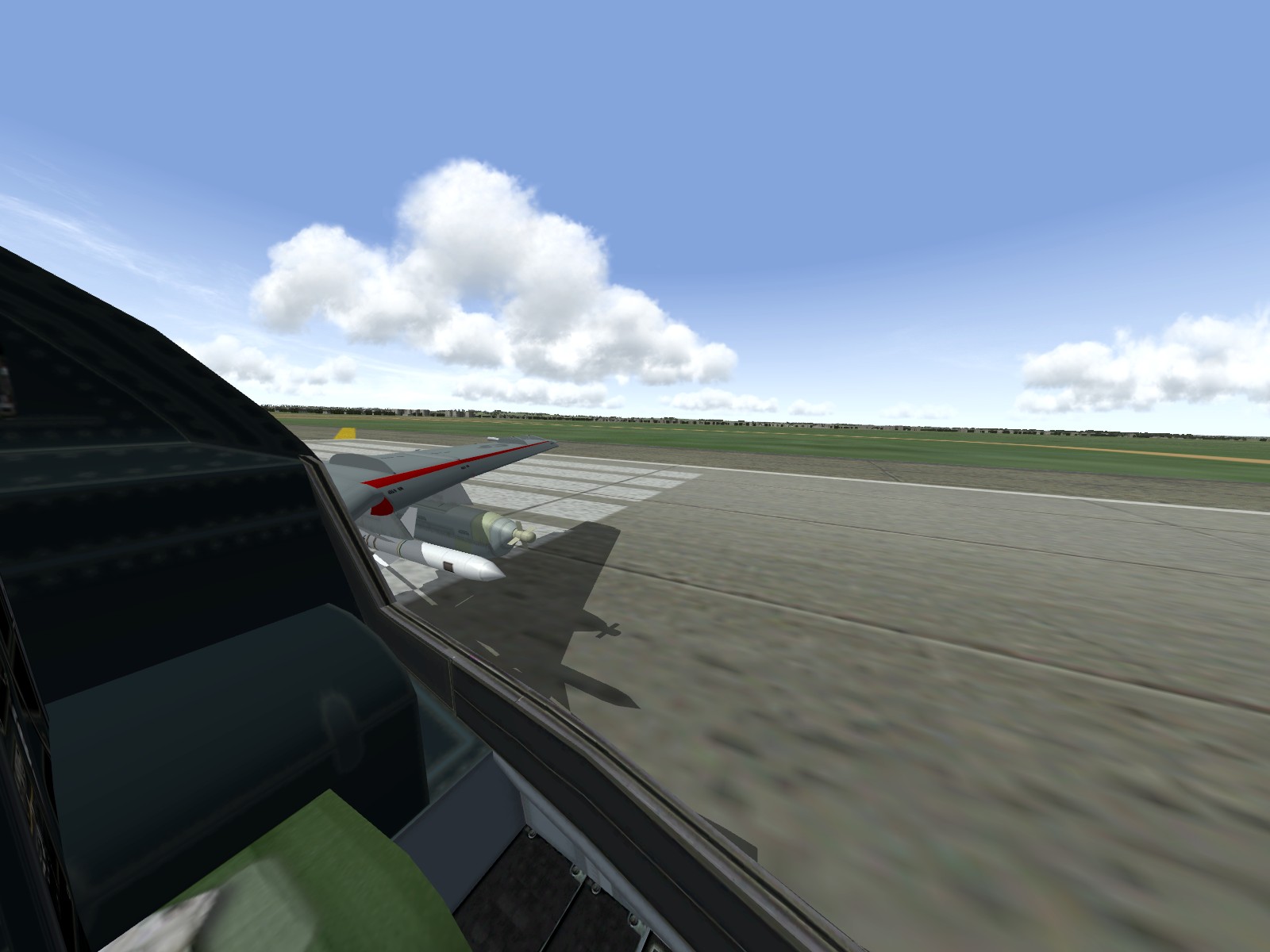
One more shot before I call it a night....one more cat shot, that is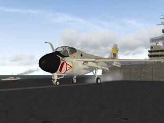
-
More Razbam A-6s
Fubar512 posted a topic in Thirdwire: Strike Fighters 1 Series - General Discussion
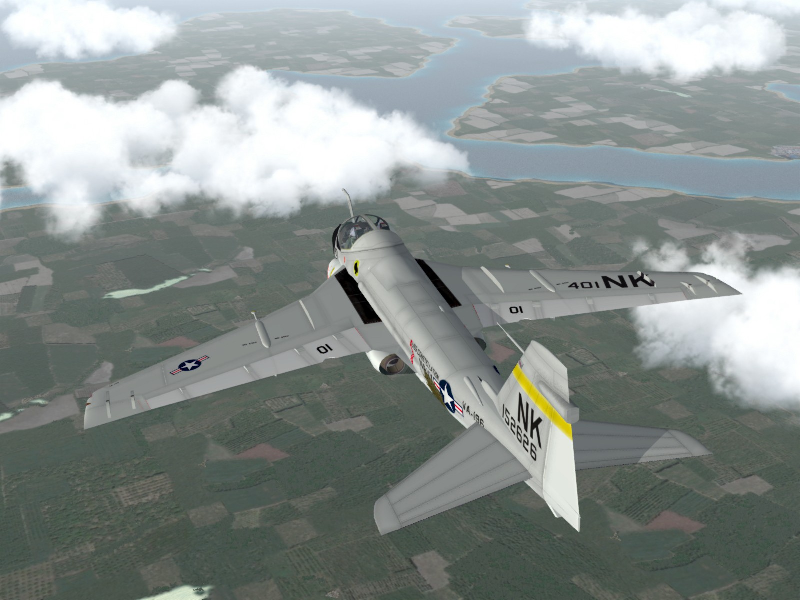
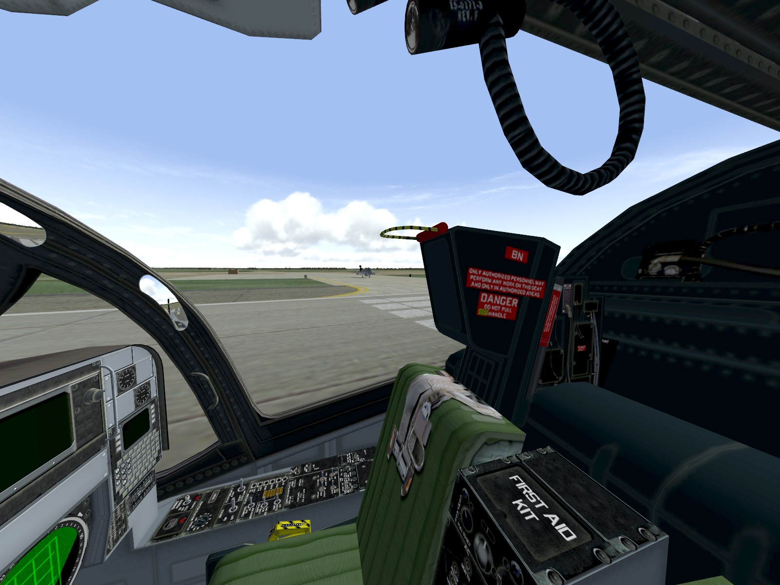
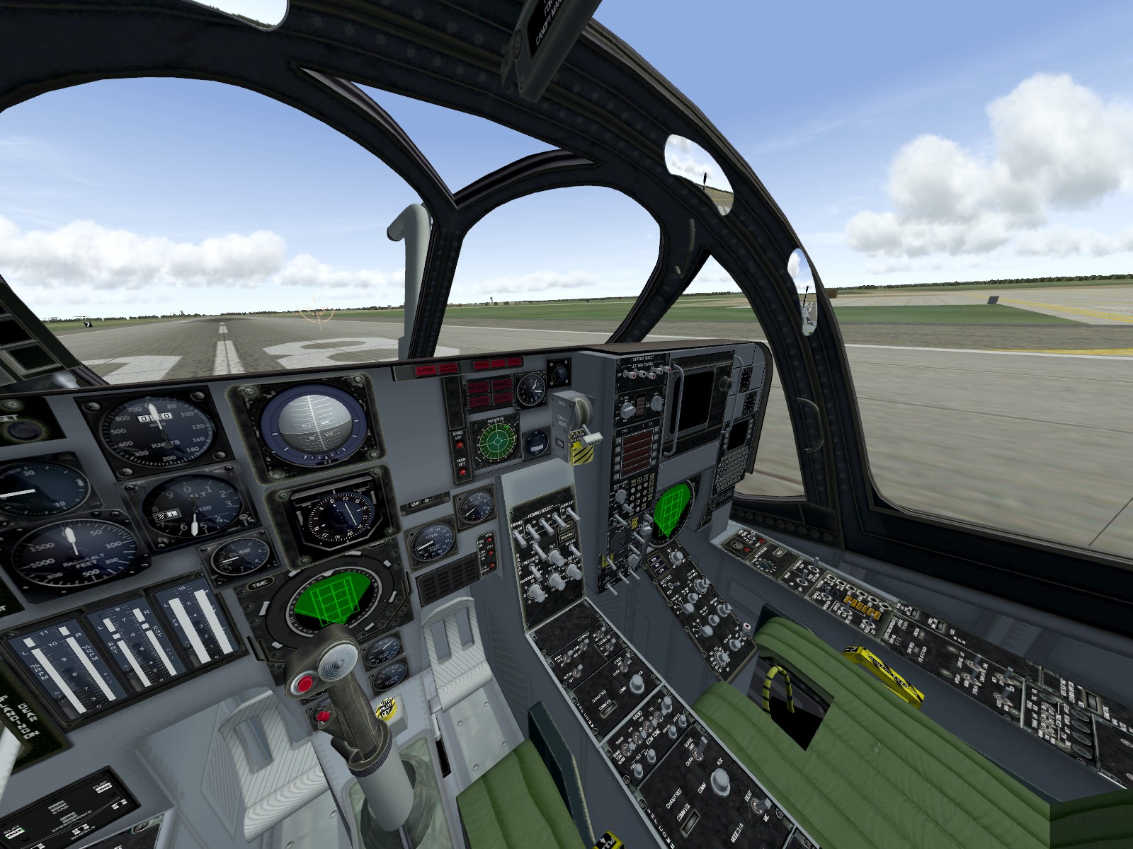
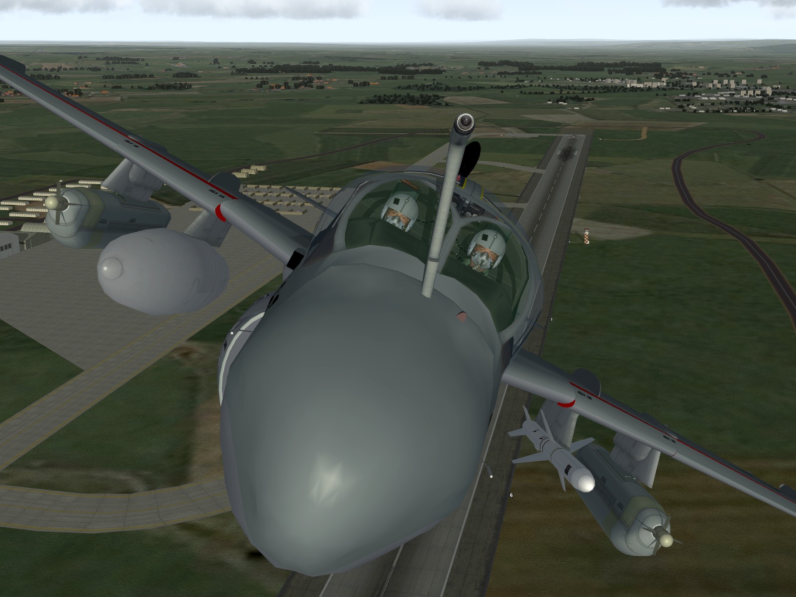
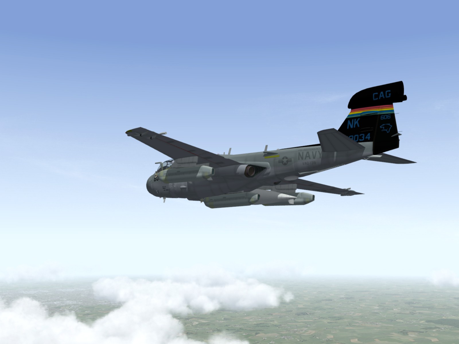
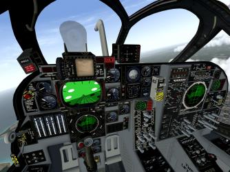
I've been on an Intruder kick lately, so I've decided to try out the Razbam A-6s. An A-6B, egressing North Vietnamese airspace after an Iron Hands mission: The Razbam A-6 pit is a real treat: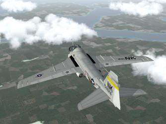
-
Screenshot Thread
Fubar512 replied to Dave's topic in Thirdwire: Strike Fighters 1 Series - General Discussion
"Oh, I think I'm going to be sick...I might throw up on you!" "Go ahead....You think anyone will notice with this shirt?" -
Screenshot Thread
Fubar512 replied to Dave's topic in Thirdwire: Strike Fighters 1 Series - General Discussion
The MiG-21 pilot's response: "Say, I've got a Hawaiian shirt that matches your aircraft. I'll sell it to you, real cheap!" -
Screenshot Thread
Fubar512 replied to Dave's topic in Thirdwire: Strike Fighters 1 Series - General Discussion
CA_Stary is correct. The TW series presently lacks support for advanced reflections (post-processing, etc.). -
The water "looks" better, because TK updated the terrain and water shader .fx files on all the terrain sets, with the latest patch series. The .fx files are in the .cat archive. But, something betters on the way
-
It has nothing to do with people not thinking outside the box, or discrediting someone without evidence. We are simply pointing out a few misconceptions on your part, so that others are forewarned of the potential pitfalls. That's all. And, BTW, I have a merged WoE/WoV on my system, so I am quite familiar with the subject at hand. And that leads me to this; WoE is made to work in a merged install with WoV (at the user's discretion), and as such, it includes all of the same terrain-objects. So all you've done, is to achieve the same effect that one would by patching their WoV install to the latest patch-level. Only in your case, you've used the newer cat file, and left the rest of the install as is (pre-patch). Another issue, is that the callout for objects placement is made by the terraintargets.ini. If there's an entry, for say a Desert-specific object, and it's not available in the terrain.cat that you're using, it won't appear. Having said that, it might be interesting to try the IsraelME.cat in place of the desert.cat, as long as the necessary WoI terrain-specific files are already extracted into the terrain folder, beforehand.
-
I hate to tell you this, but "the whole lot of buildings" and the hills being smoother, have nothing whatsoever to do with the GermanyCE.cat. The buildings you speak of are part of the .tod files in the GreenHell2 mod. The height, shape, and smoothness of the terrain is determined by the VietnamSea .HFD & .TFD files, both of which are addon versions, that you most likely installed with either GH2, or Brain32's tileset.
-
Noob Gun Problems
Fubar512 replied to Eldon45's topic in Thirdwire: Strike Fighters 1 Series - General Discussion
New gun sound entries must also be added to the soundlist.ini, which needs to be extracted from the flightdata.cat. -
Screenshot Thread
Fubar512 replied to Dave's topic in Thirdwire: Strike Fighters 1 Series - General Discussion
Well, you're close in one respect. The waternormal file that I used for the shader in that screenie, was a 3rd party, 16 kb replacement .tga for LOMAC's water. -
Screenshot Thread
Fubar512 replied to Dave's topic in Thirdwire: Strike Fighters 1 Series - General Discussion
Overexposed..... -
-
Well, I can't show what I never recieved....
-
It may take a while....
-
We have a Google-Earth overlay that shows thousands of existing and former SAM sites around the globe. I'm using that resource to populate the GermanyCE terrain. When it's finished, I plan on uploading the edited terrain data.ini, along with instructions on how to modify (mostly reclassify) the SAM units to work with that updated placement scheme.
-
BVR DETECTION
Fubar512 replied to Veltro2k's topic in Thirdwire: Strike Fighters 1 Series - Mods/Skinning Discussion
Those are suposed to be estimated averages of the total RCS of the aircraft listed (avg frontal/front quarter/side/rear quarter RCS). I believe that I found that list at ACIG.ORG, about three years ago. -
BVR DETECTION
Fubar512 replied to Veltro2k's topic in Thirdwire: Strike Fighters 1 Series - Mods/Skinning Discussion
For example, using the F-15A_Data.ini, we would edit it like so... [DetectSystem] RadarType=AIR_INTERCEPT Reference Name=Hughes AN/APG-63 RangeUnit=NM RadarAzimuthLimit=90 RadarElevationLimit=90 RadarSearchTime=1.0 RadarSearchRange=200 RadarSearchStrength=125 RadarTrackTime=5.0 RadarTrackRange=150 RadarTrackStrength=100 VisualBlindArc=5,6,7 VisualRestrictedArc=4L,8L MaxVisibleDistance=8400.0 DopplerLookdown=TRUE HasRWR=True BaseRCSModifier=10.0 -
BVR DETECTION
Fubar512 replied to Veltro2k's topic in Thirdwire: Strike Fighters 1 Series - Mods/Skinning Discussion
Harold, it's the value in Meters2... For example, using the table above, a Gripen would use this value "BaseRCSModifier=1.0". I suspect that TK has them all defaulted to 1.0, which would make a Buff or a Bear loom large as a mountain from the AI's perspective, once you set them to their proper values. -
BVR DETECTION
Fubar512 replied to Veltro2k's topic in Thirdwire: Strike Fighters 1 Series - Mods/Skinning Discussion
Know, what would lead you to believe that I would know this? B-52 H: 100 m2 * 2.12 = 212 km A-10: 25 m2 * 1.5 = 150 km F-4E: 25 m2 * 1.5 = 150 km MIG-25: 25 m2 * 1.5 = 150 km Mig-31: 25 m2 * 1.5 = 150 km B-1A: 10 m2 * 1.19 = 119 km F-14 D: 10 m2 * 1.19 = 119 km F-15C: 10 m2 * 1.19 = 119 km Su-27: 10 m2 * 1.19 = 119 km Tornado: 8 m2 * 1.13 = 113 km Mig-29: 5 m2 * 1 = 100 km Mirage2000C: 3.5 m2 * 0.92 = 92 km F-5E: 3 m2 * 0.88 = 88 km Mig-21: 3 m2 * 0.88 = 88 km AV-8B+: 2.5 m2 * 0.84 = 84 km Av-8B: 2.0 m2 * 0.80 = 80 km B-1B: 2.0 m2 * 0.80 = 80 km F-16C: 1.2 m2 * 0.70 = 70 km F-18C: 1.2 m2 * 0.70 = 70 km Gripen: 1.0 - 1.2 m2 * 0.67 - 0.70 = 67 - 70 km F-18E: 0.75 m2 * 0.62 = 62 km Rafale: 0.75 m2 * 0.62 = 62 km Eurofighter: 0.5-0.75 m2 * 0.56 - 0.62 = 56 - 62 km B-2: 0.01 m2 * 0.21 = 21 km F-35: 0.01 - 0.005 m2 * 0.21 - 0.18 = 21 - 18 km F/A-22: 0.01 - 0.001 m2 * 0.21 - 0.12 = 21 - 12 km F-117: 0.001 -? m2 * below 0.12 = 12 km. -
BVR DETECTION
Fubar512 replied to Veltro2k's topic in Thirdwire: Strike Fighters 1 Series - Mods/Skinning Discussion
The RCS modifier values are in Meters/Squared. Be careful, as it's a fixed value, irregardless of aspect. -
It's an entire Nike layout by ErikGen. Radars, launchers, pads, paved areas, etc.
-
BVR DETECTION
Fubar512 replied to Veltro2k's topic in Thirdwire: Strike Fighters 1 Series - Mods/Skinning Discussion
Sorry, those lines are not valid, as they're not available in the aircraftobject.dll. It would be nice if they were, as they would allow for AWACs vectored AI fighters/interceptors.