Gepard
-
Posts
7,050 -
Joined
-
Last visited
-
Days Won
359
Content Type
Profiles
Forums
Gallery
Downloads
Store
Everything posted by Gepard
-
The wording Kyiv for Kiev is funny. Who comes to the idea to translate the urkrainian letter "i" with a "y"? Okay, they have a second "i" which looks in cyrillic alphabet so "и". But to make "Київ" to "Kyiv" is strange. Some say, that "Kiev" is the russian name of that town. Thatswhy it should not be used anymore. But this is wrong. The russian name is "Киев". The thrid letter "e" is not an english "e" but a "ye", so the correct translation from russian " Киев " into english would be "Kiyev". But in english the name of the town is "Kiev" and the german name is "Kiew". Thatswhy the wording "Kyiv" is nonsense.
-
Do you mean the village Barashi in Schitomir distrikt?
-
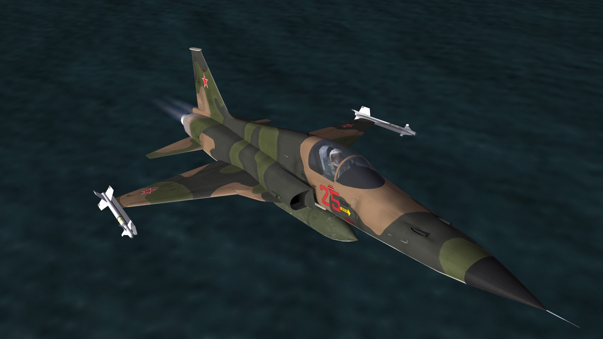
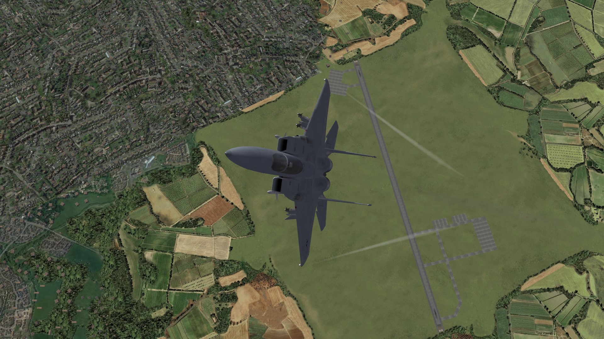
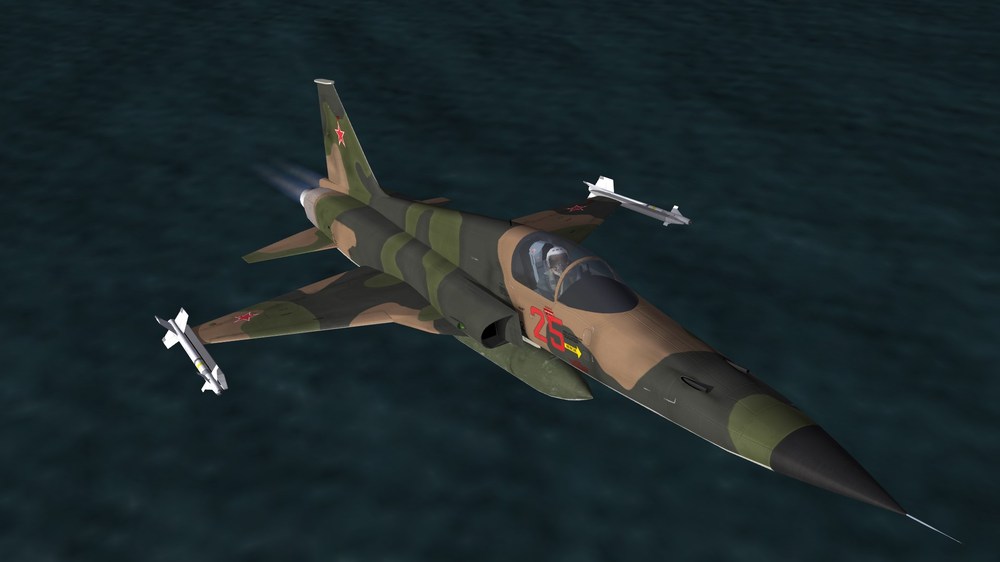
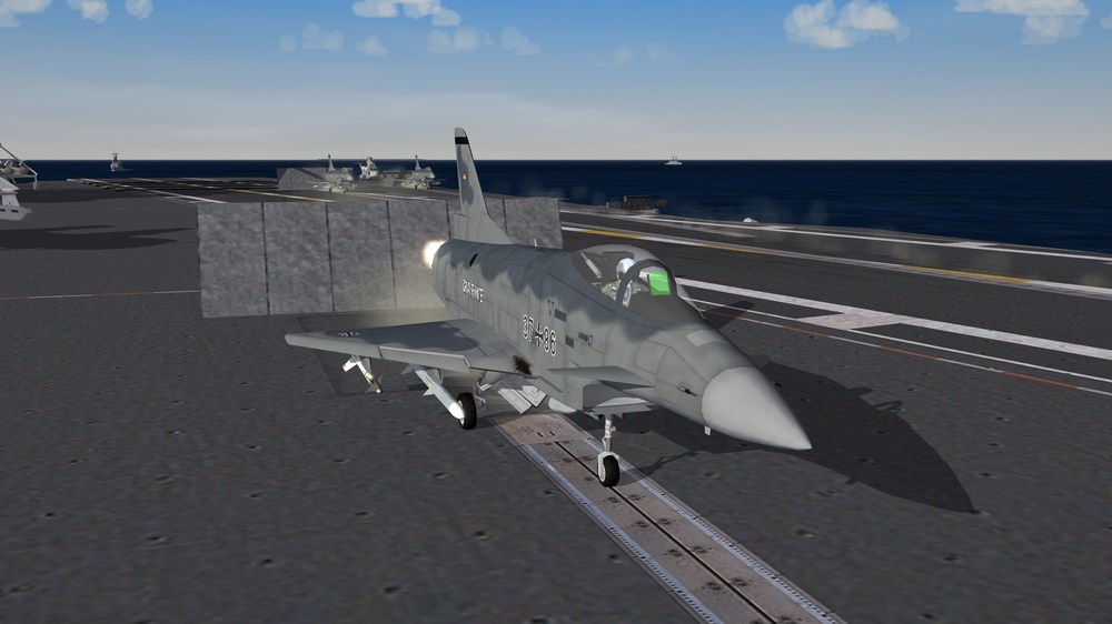
Mandatory Screenshot: One F-5E, which was captured in Vietnam 1975, during the flightests in the Soviet Union.
-
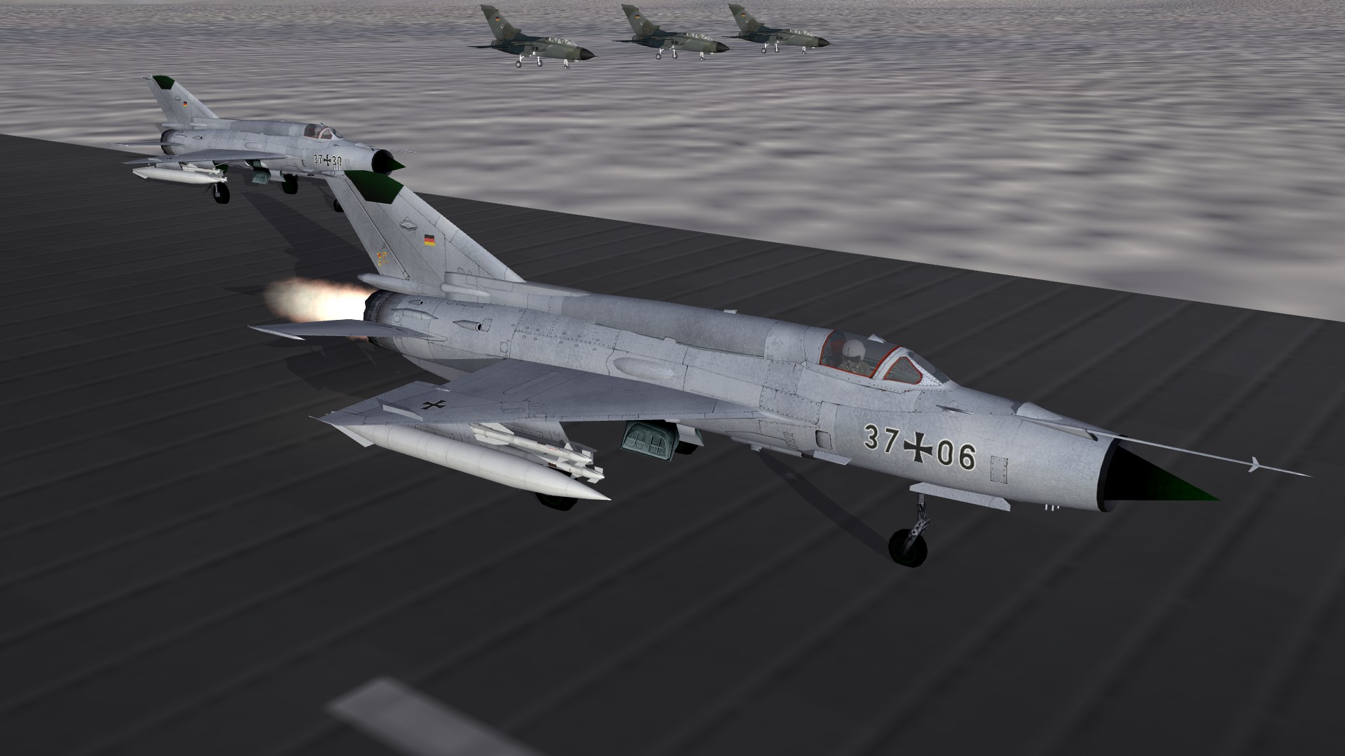
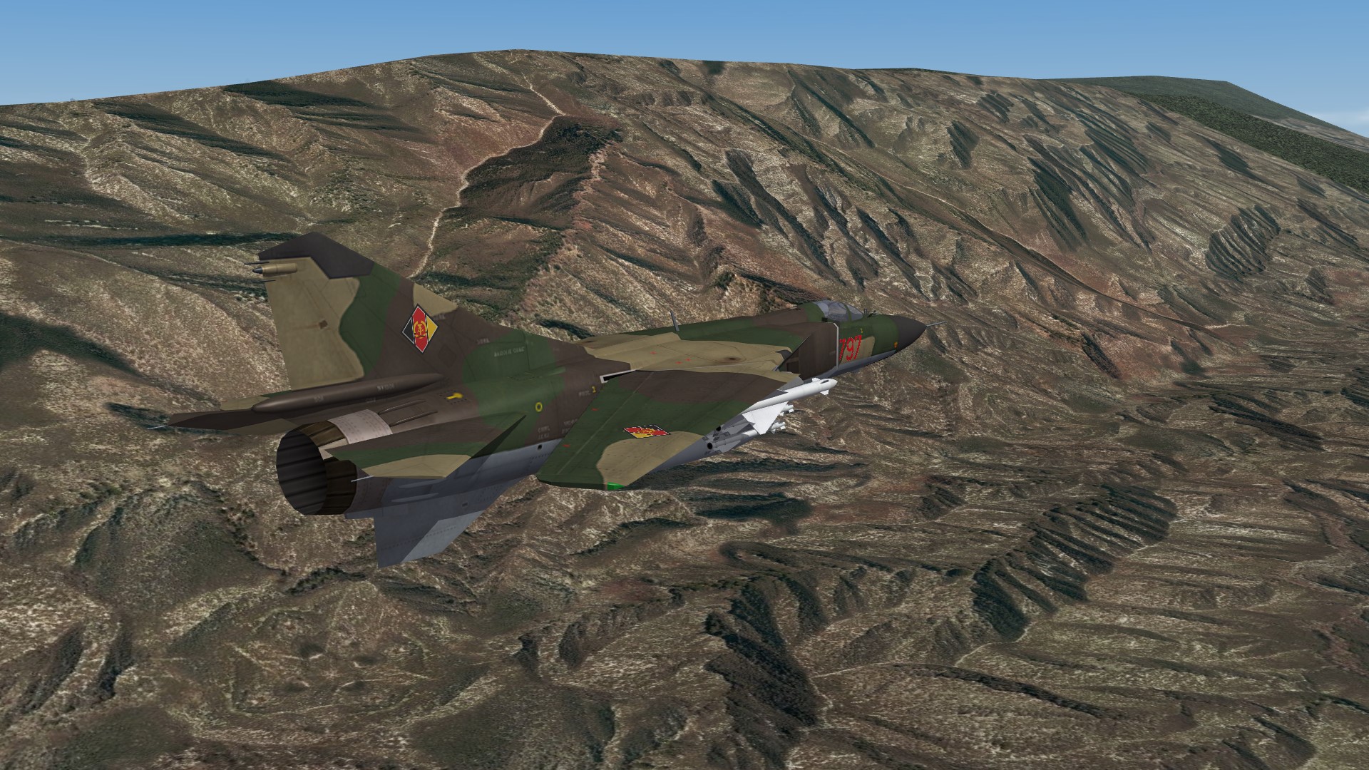
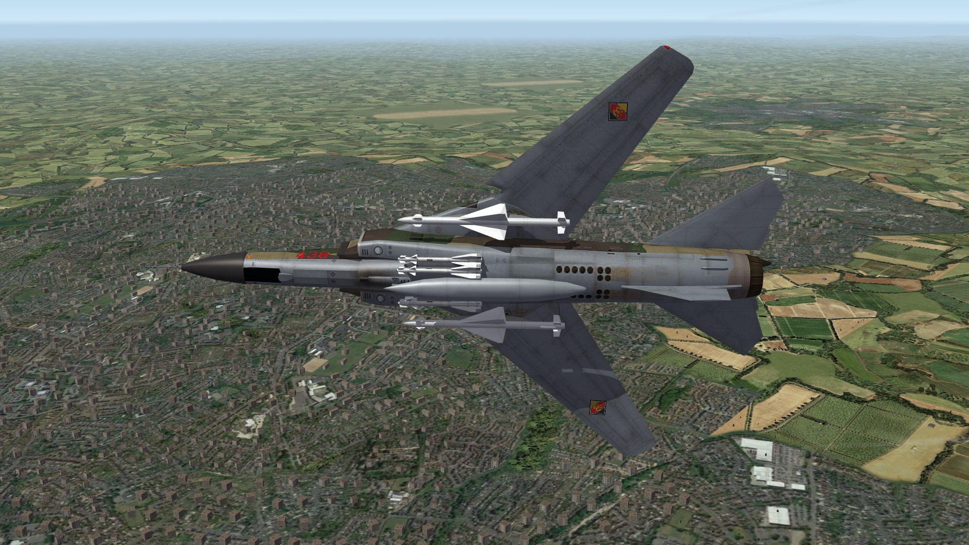
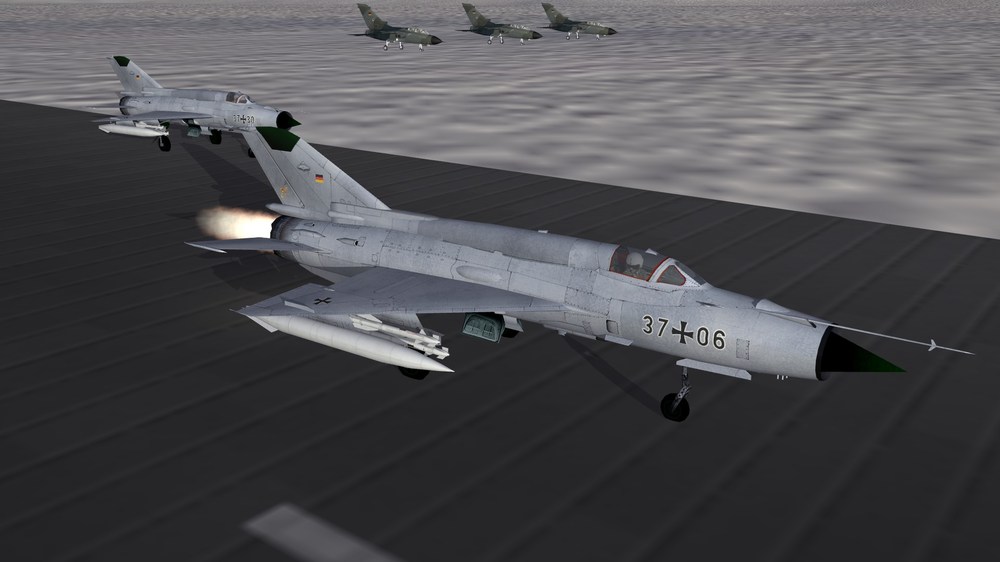
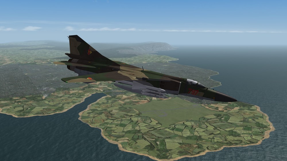
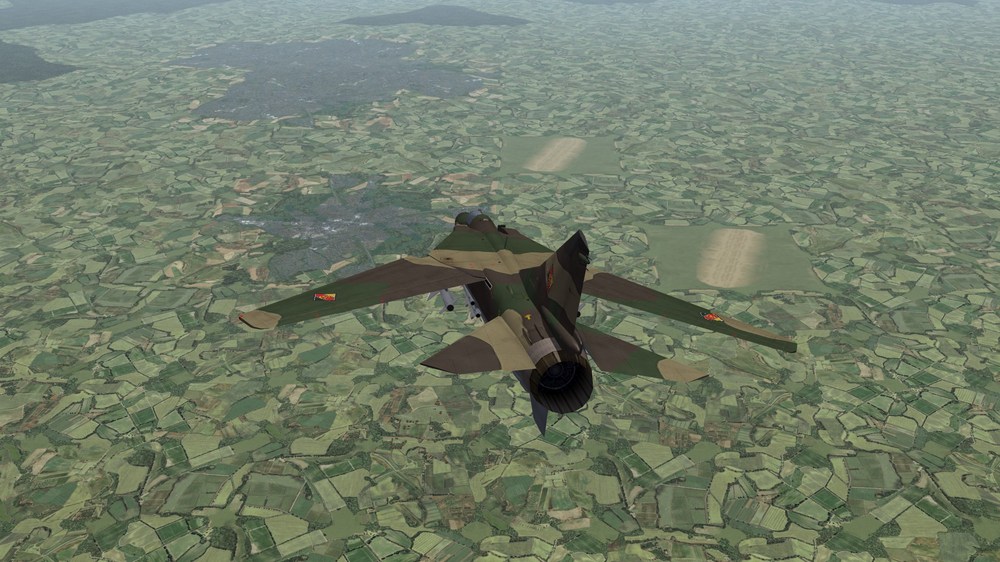
If the Luftwaffe would have used the MiG-21, the plane would have been looked so:
-
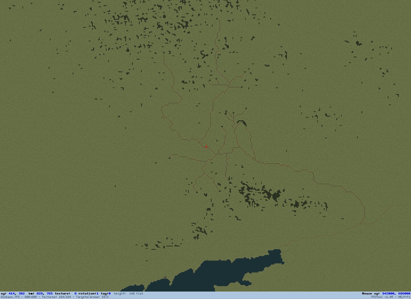
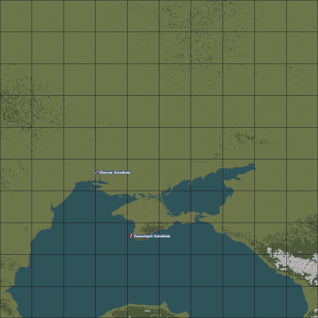
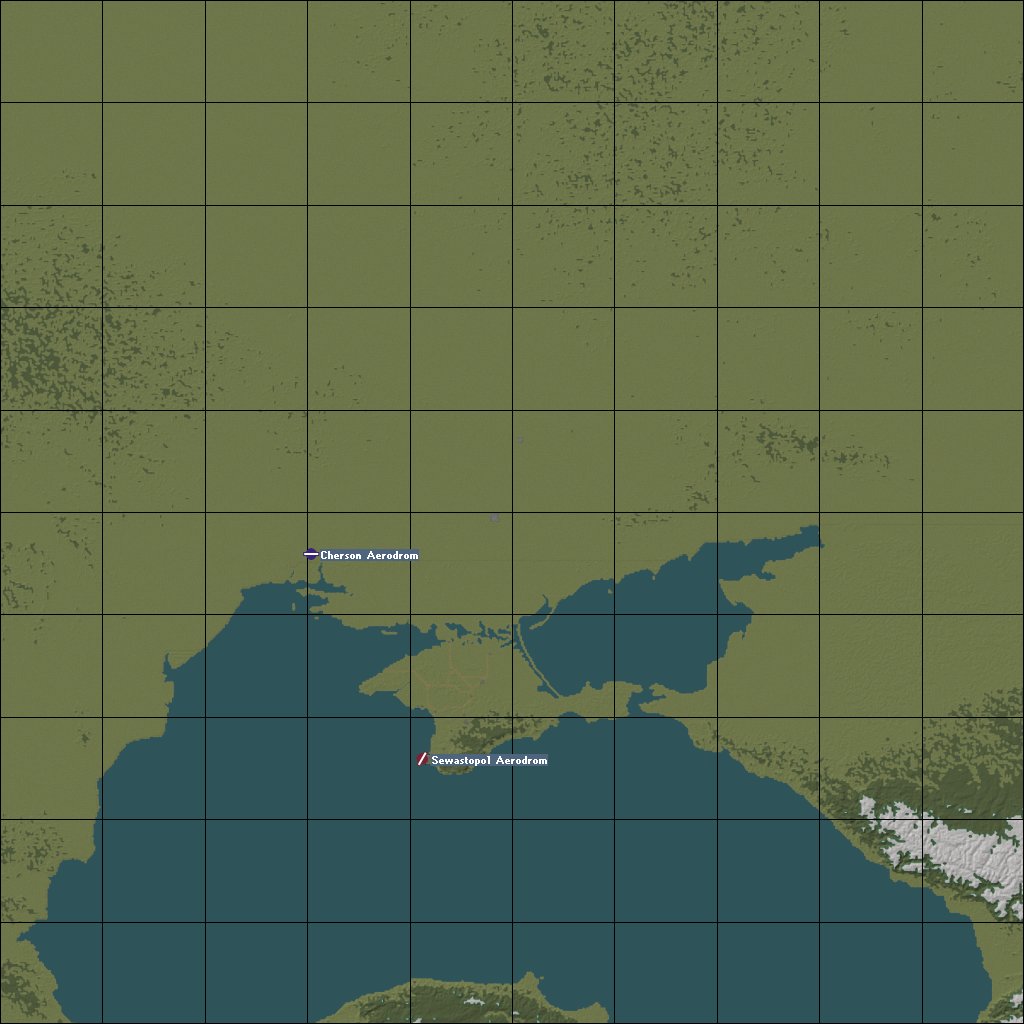
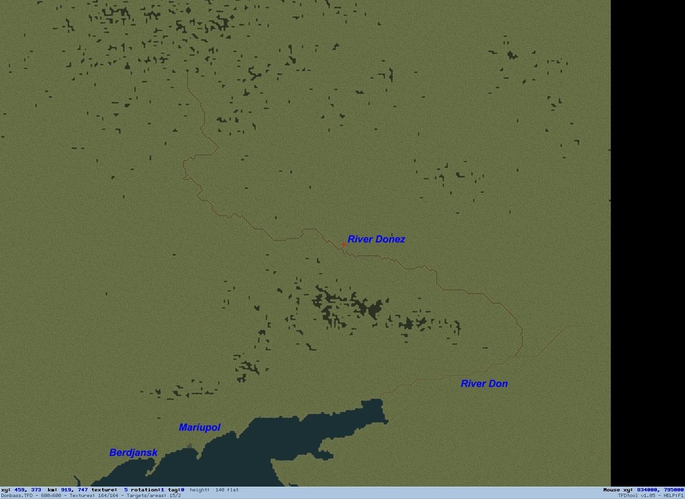
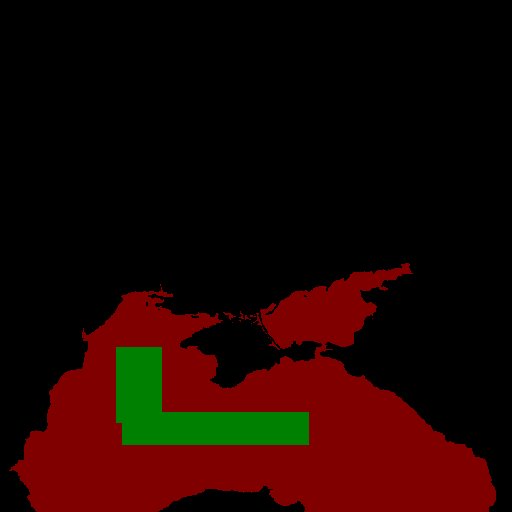
SitRep: Some siderivers of the river Donez are now on the map. Slowly the terrain get a shape. If i place the russian airfields at the Crimean Peninsula and the ukrainian airfields at Mariupol, Berdjansk and Cherson as placeholder, i could release a Beta version of the terrain, so that an airfield vs airfield scenario around the Crimean Peninsula would be possible. If work goes well, the early Beta could come on sunday? What do you think?

-
This will be funny long: Saporischja / Saporoschje / Saporischschja
-
SitRep: River Donez is now placed on the map. It is a boring job, but so it is. Next step will be to place some side rivers of the Donez on the map. To the names on the map. Because it is a disputed area with russian and ukrainian names i will use the german names of the rivers and towns of that area. My source is the book "Verlorene Siege" by Feldmarschall Erich von Manstein, who fought from 1942 to 1944 in that area.
-
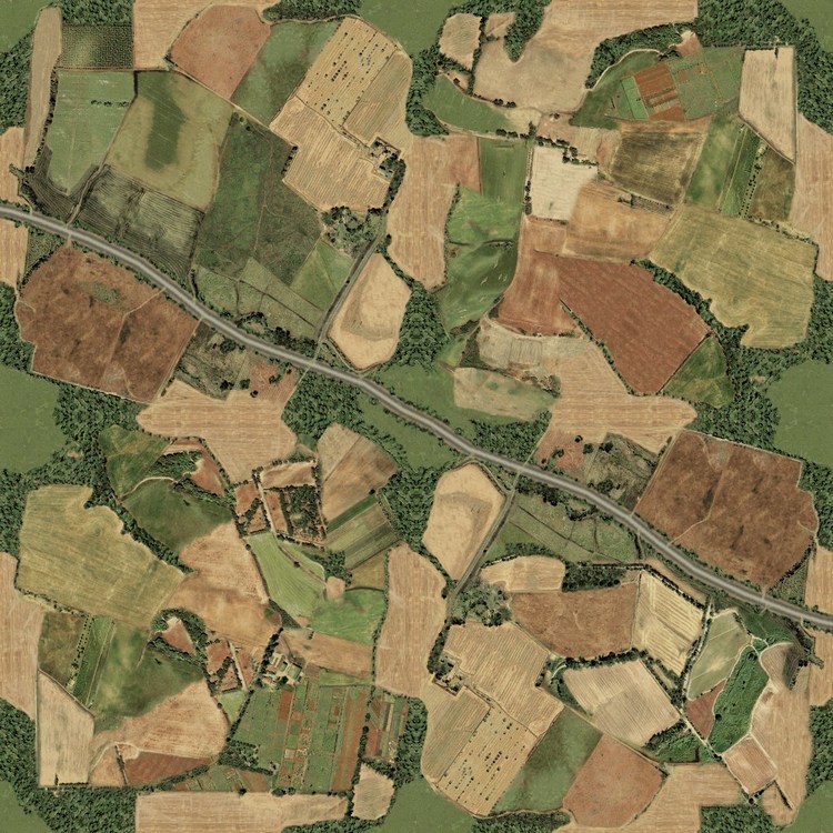
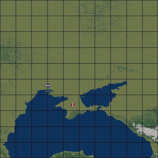
SitRep: Street network of the Crimean Peninsula is layed out. The tiling of river Donez has started, the first marking points for the river tiles are now on the map. (If you look carefull on the map below you will find a blue dotted line, which is difficult to see, starting at the end of the Asowian Sea. Thats it.) In a next step i will connect this points so that the river Donez will be present on the map. The tiling of the rocky south coast of the Crimean Peninsula is finished. The planning map now looks so:

- 908 replies
-
- 11
-

-

-
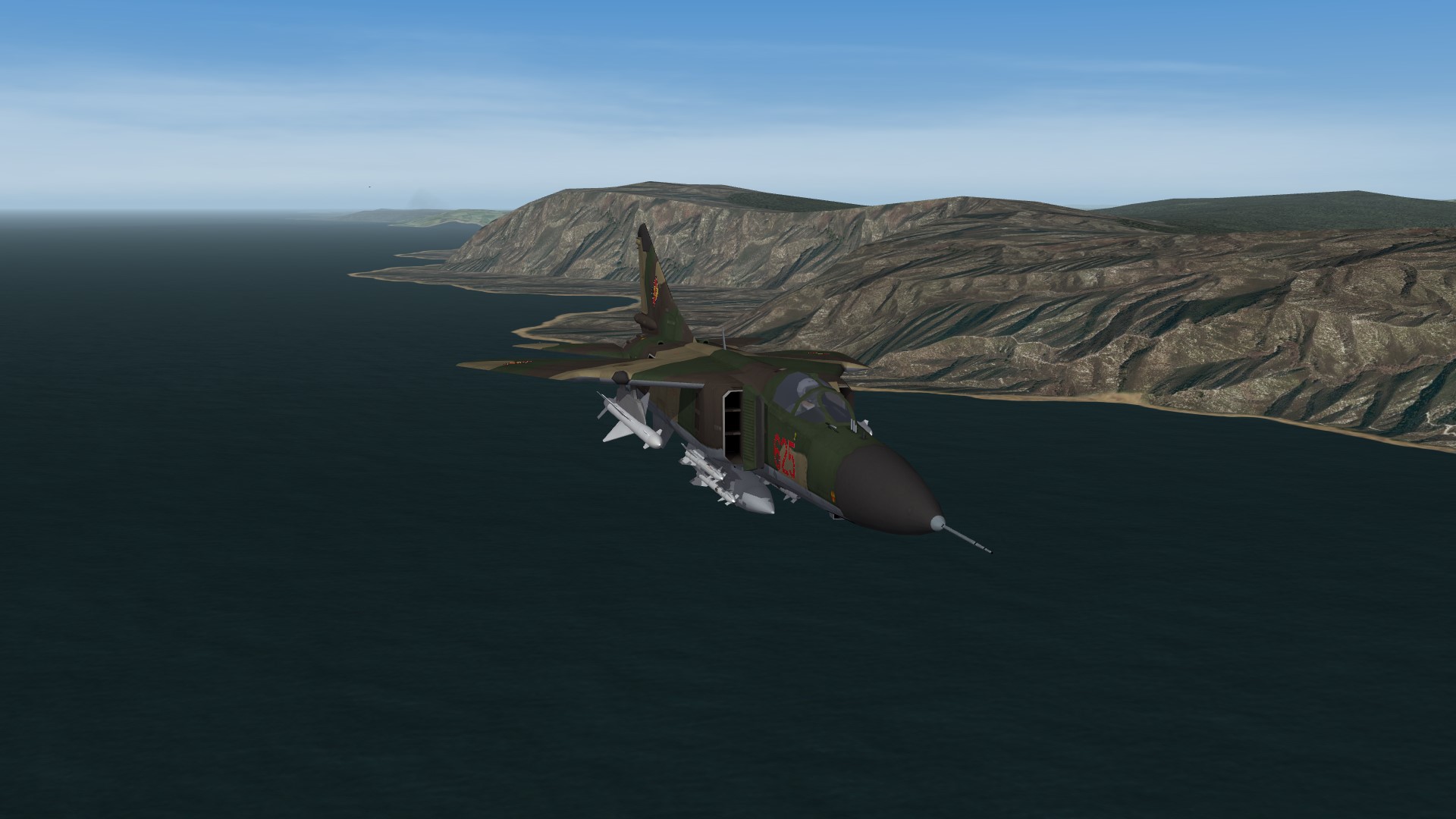
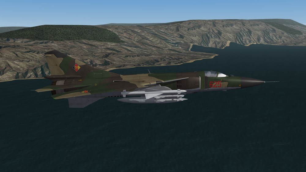
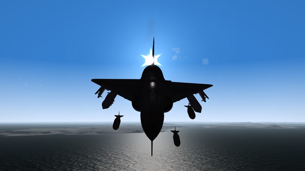
Remark: MiG-21 of Bundesluftwaffe never got the Iron Cross, only the flag on the tail and the 4-digit numbers on the nose. Only planes which were taken into real life service got the iron cross insignia. All planes without the cross were phased out, sold, went into a museum or were scapped. mandatory screenshot: Flying along the southern coast of the Crimean Peninsula.

-
Near Sewastopol Harbor and over Sewastopol West Airfield (WIP terrain)


-
The rocky southcoast of the Crimean Peninsula. The rock tiles are taken from Angola terrain and merged with existing woodland and coast tiles. The coastline still need some corrections. Water climbing the hill is not intended.

-
Okay, then it will be no NavalMap. WIP Screenshot: Sewastopol seen from high altitudes.
-
In the ODS mod there are no red main combat ships, no carriers, no cruisers. If you add a red carrier to this mod, then the blue force will not fly strike missions against ground targets, but only against the carrier.
-
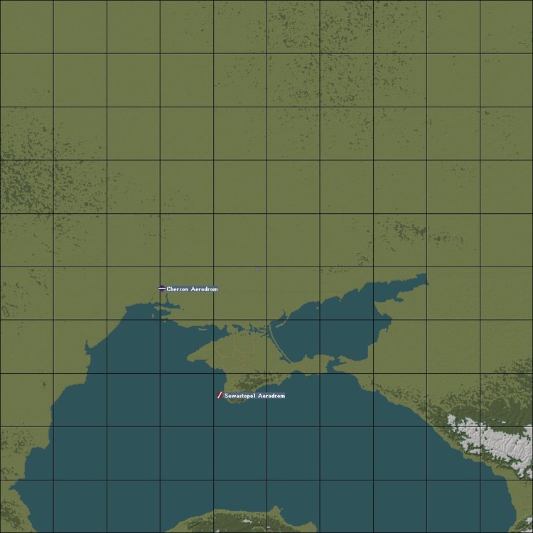
SitRep: Sewastopol Harbor A question to the wisdom of our forum: Is it possible to make a Naval Map with only Blue side naval operations, if a red carrier is in the groundobjects folder? I made this water map: And i thought, that only blue ships would appear in game. But the game engine always put a soviet carrier battle group on the map, so that Strike missison are always against the red carrier and not against ground targets. This is not what i want. Has someone an idea?
-
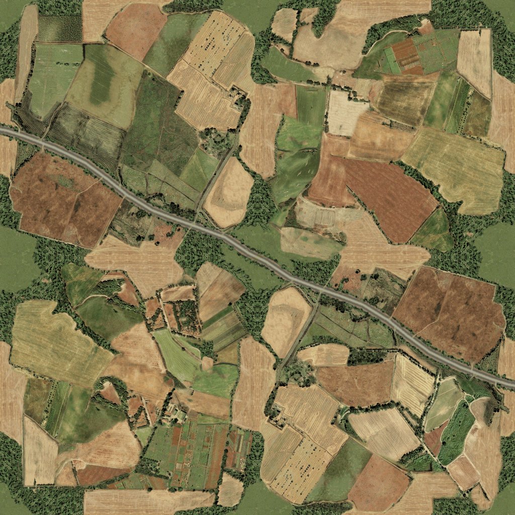
I use the same road tiles which i made for Battle of Britain 2 terrain, like this: I still have to make the colors fits to the new tileset.
-
SitRep: I created the lakes in the north and east of the Crimean Peninsula all by hand. It was a time consuming job, but neccessary, because the raw data were wrong at this area. Now i'm laying the tiles for the road network of the Crimean Peninsula. An other boring and time consuming task. But so is terrain making!
- 908 replies
-
- 11
-
-
-
Make sure that the files are saved in UNICODE format. So letters like ü, ä and ö are available in game.
-
May the 4th be with you! Happy STAR WARS day!!!
- 85 replies
-
- 14
-
-

-
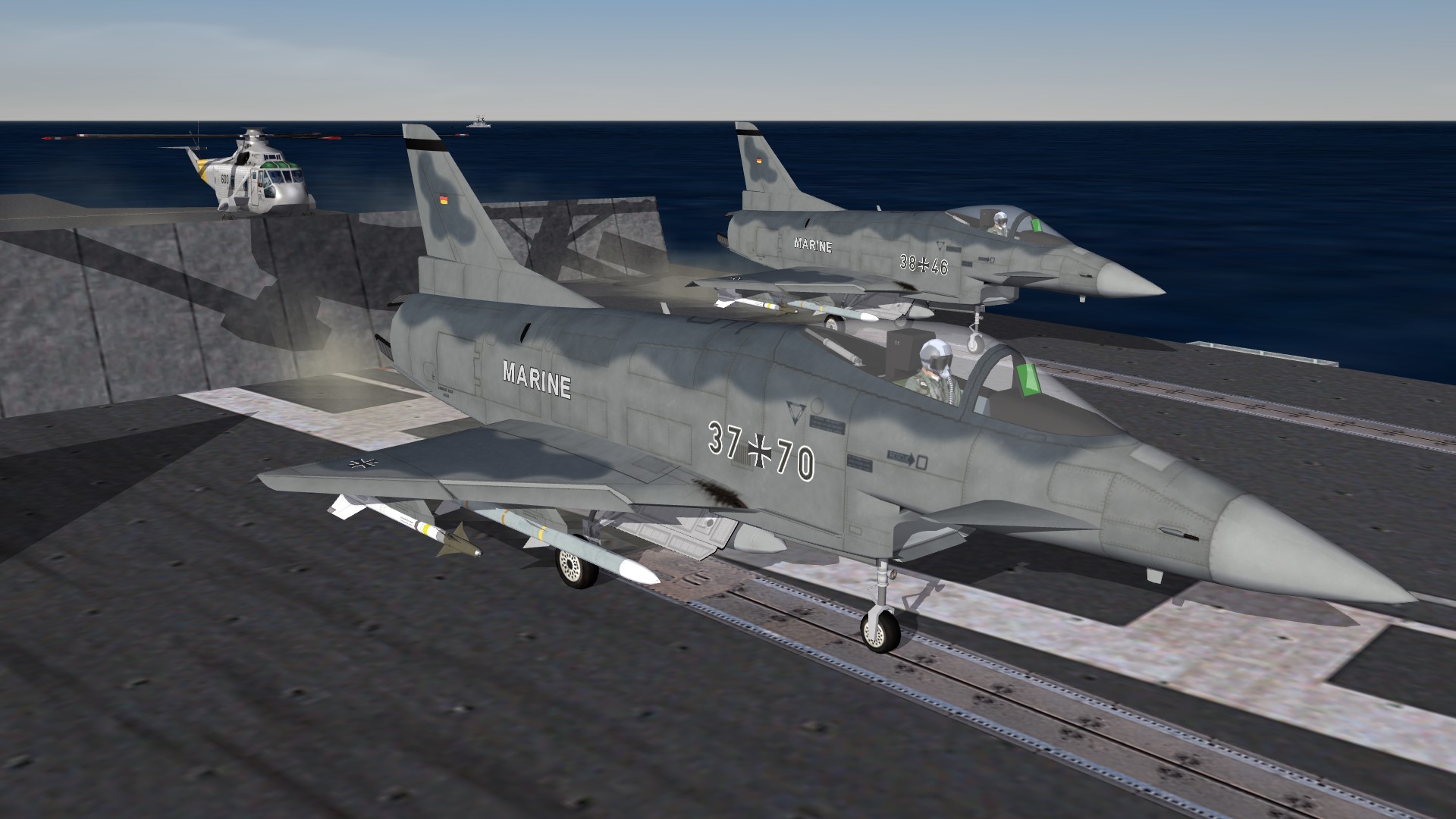
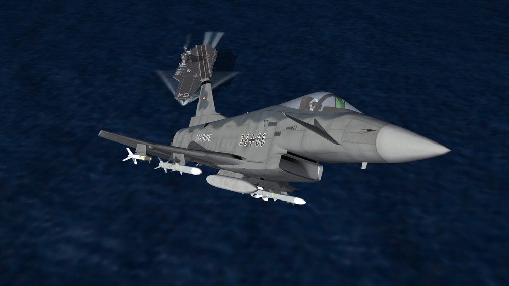
F-31GN German Navy, Bundesmarine.

-
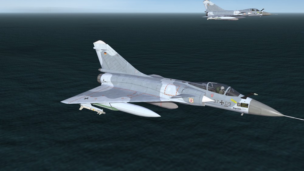
Super Mirage 4000
-
The terrain has the size of 1.200 x 1.200 km. It should have nearly real life size. A square on planning map has a size of 120x120 km. At a first step i will finish the Crimean Peninsula and the naval area. Then i will release it as a Beta. In the next step i will add the rivers Don and Donez and some towns and villages in the area. Then in a further step the river Dnepr with the Cherson area, then Mykolajew and Odessa.
-
I mean only NATO Navy carrier operations, no russians.
-
For the current occasion: Simferopol, a town at Crimean Peninsula. Very early Alpha of a terrain that covers the Crimean Peninsula, parts of the Black Sea and the southern Ukraine. I think i will make it as a NavalMap=True, so that the US Navy will have the chance to shooting at the russian bases at the Crimean Peninsula.

-
Mirage shadow games.
-
Exactly this happens if the airfield.ini file is wrong. Perhaps it is a typo in the entry of the terrain_targets.ini file. Check out which airfield is it. I think it the problem is easy to solve.