
Gepard
-
Posts
7,048 -
Joined
-
Last visited
-
Days Won
359
Content Type
Profiles
Forums
Gallery
Downloads
Store
Everything posted by Gepard
-

-
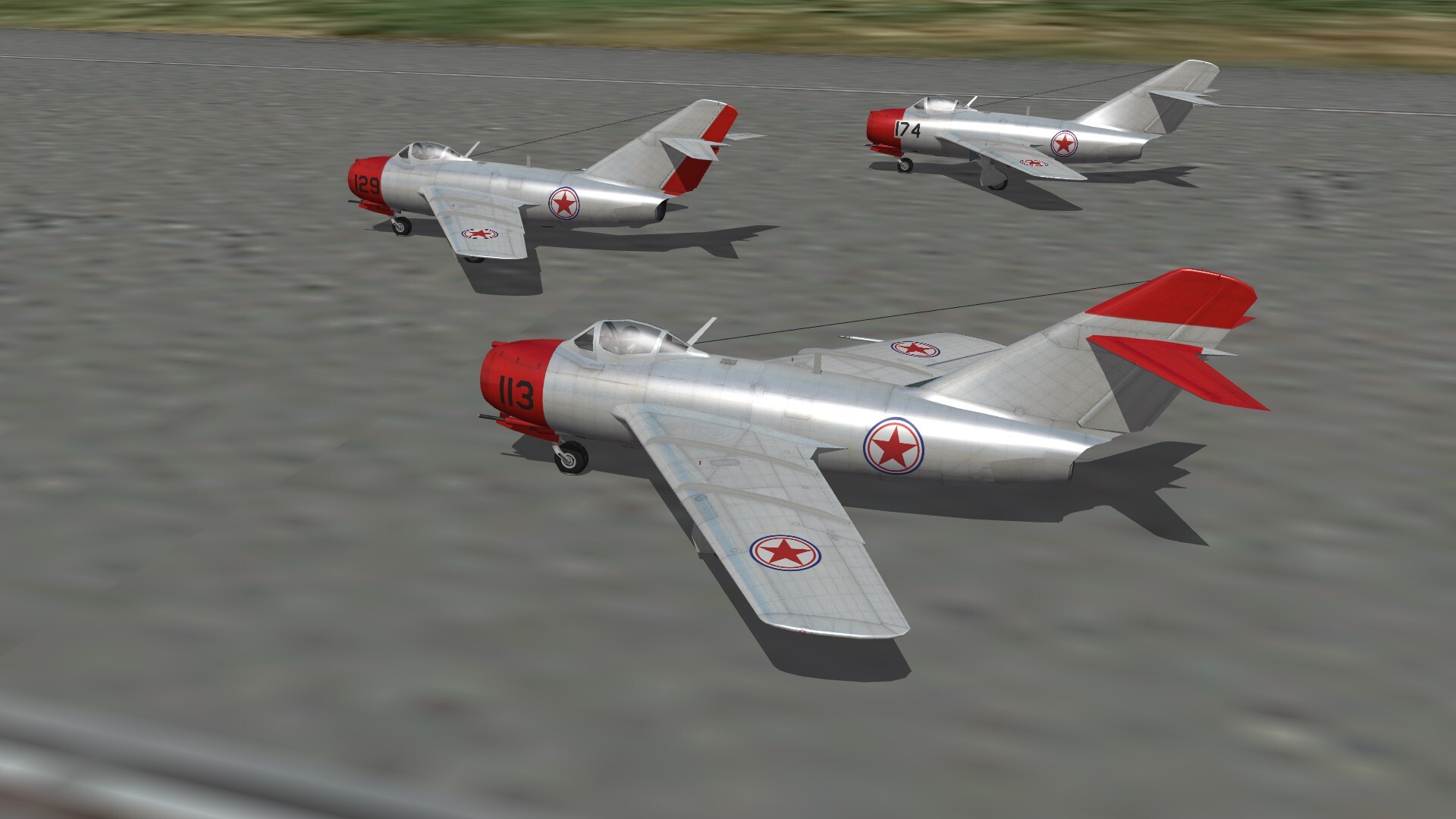
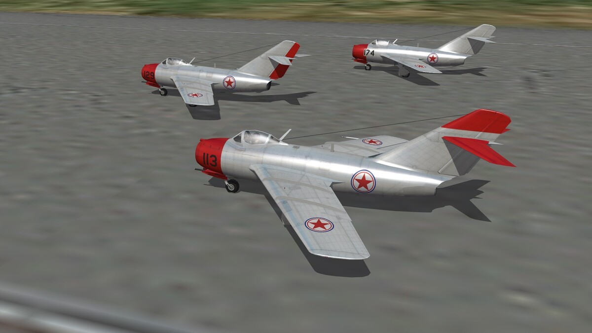
MiG-15bis of 3 different fighter divisions. Left the 151. GwIAD, in front the 303. IAD, back 324. IAD 303.IAD and 151. GwIAD The 324.IAD was the top fighter unit of Korea War. In 10 month of fighting it shot down 216 enemy planes, lost 27 own and 9 pilots died. Top scorer was Yevgenij Pepelyayev with 23 kills.

-
Somewhere over the Gulf of Tonking
-
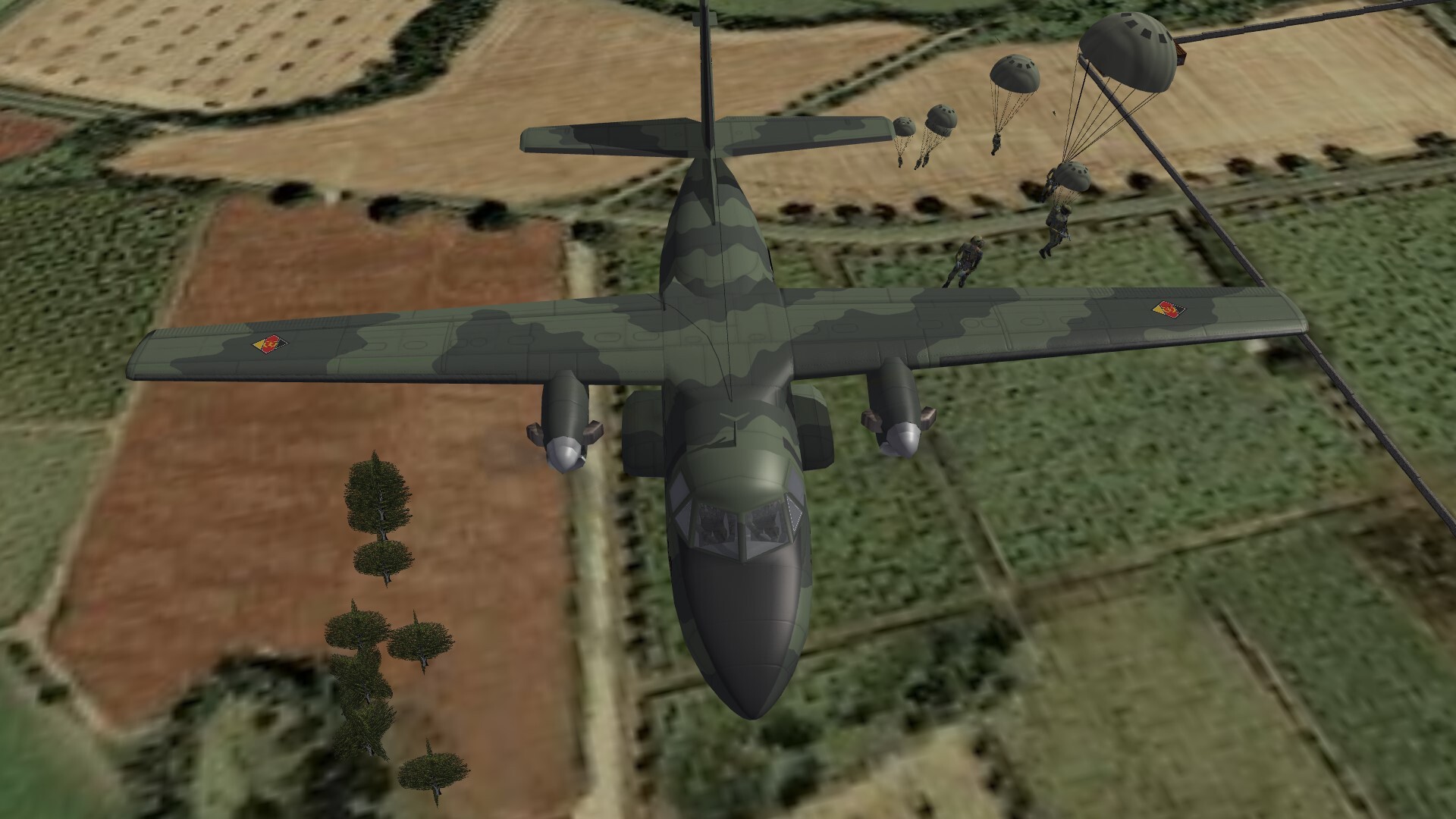
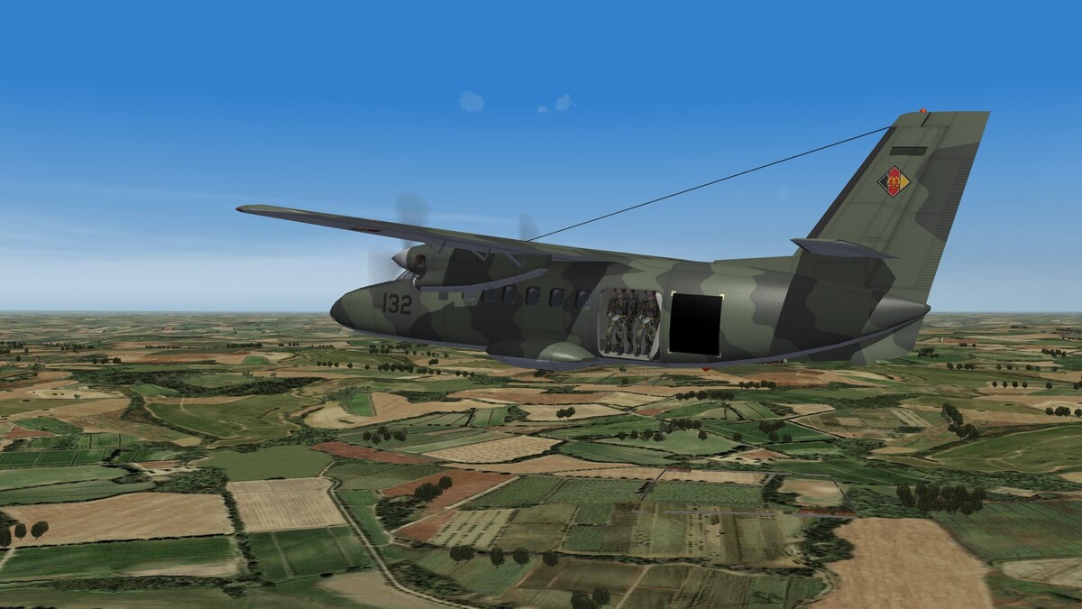
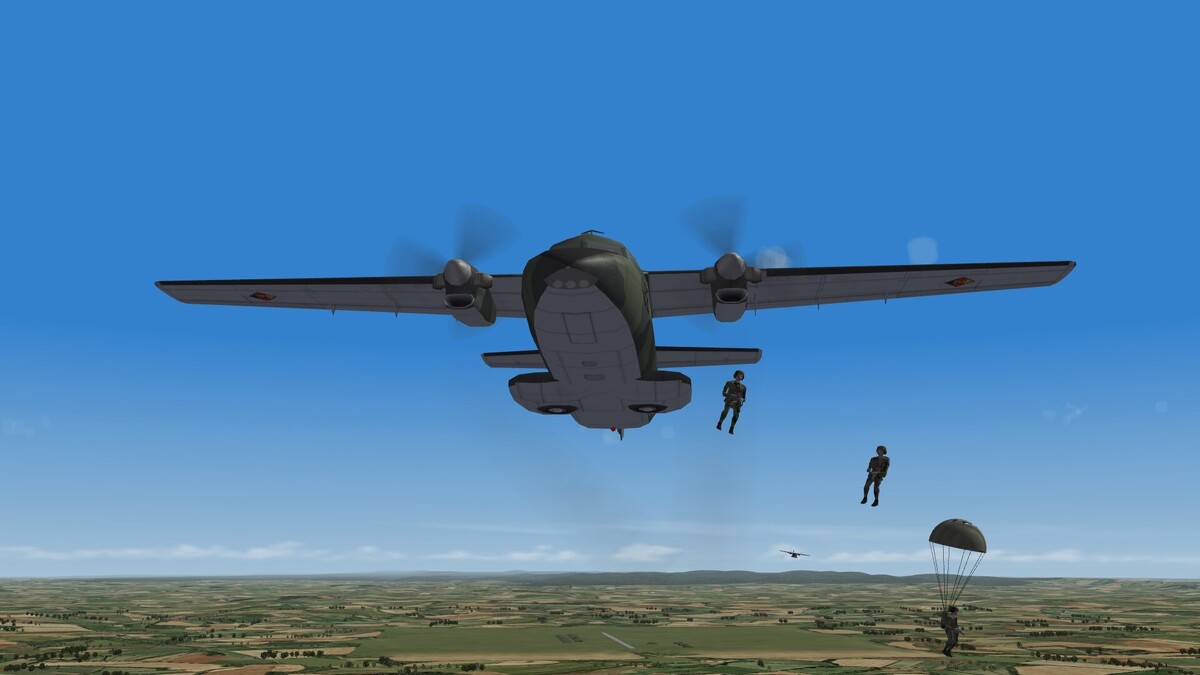
L-410UVP-T Turbolet while dropping airborne rangers.

-
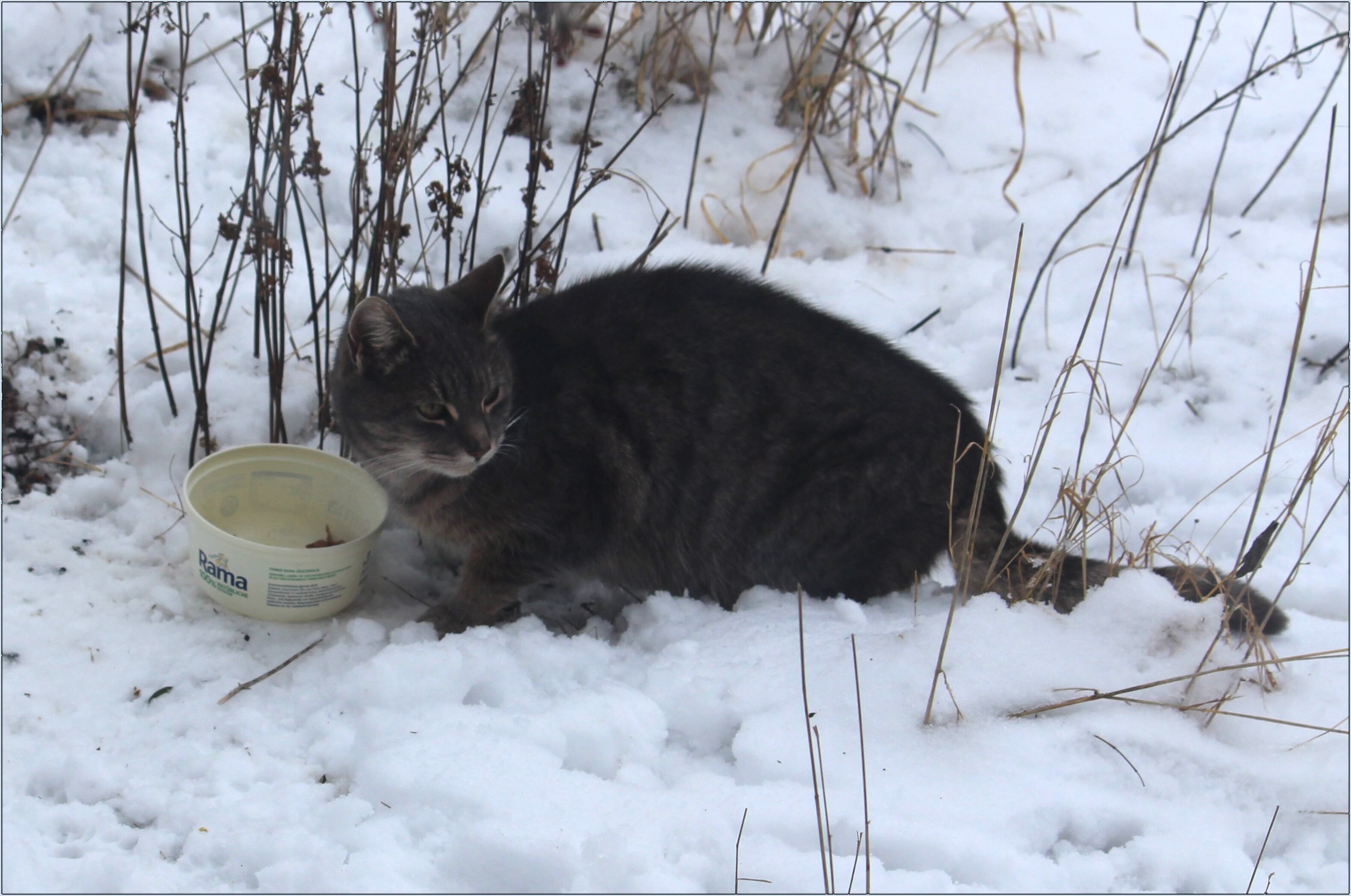
My cat Mauz wandered into my life in January. I suspect she was a Christmas gift that the recipient didn't want; he abandoned her in the middle of winter. She has been with me ever since.

-
There is a search button. It is easy to use to find add on planes. The file stucture of the download section is userfriendly too.
-
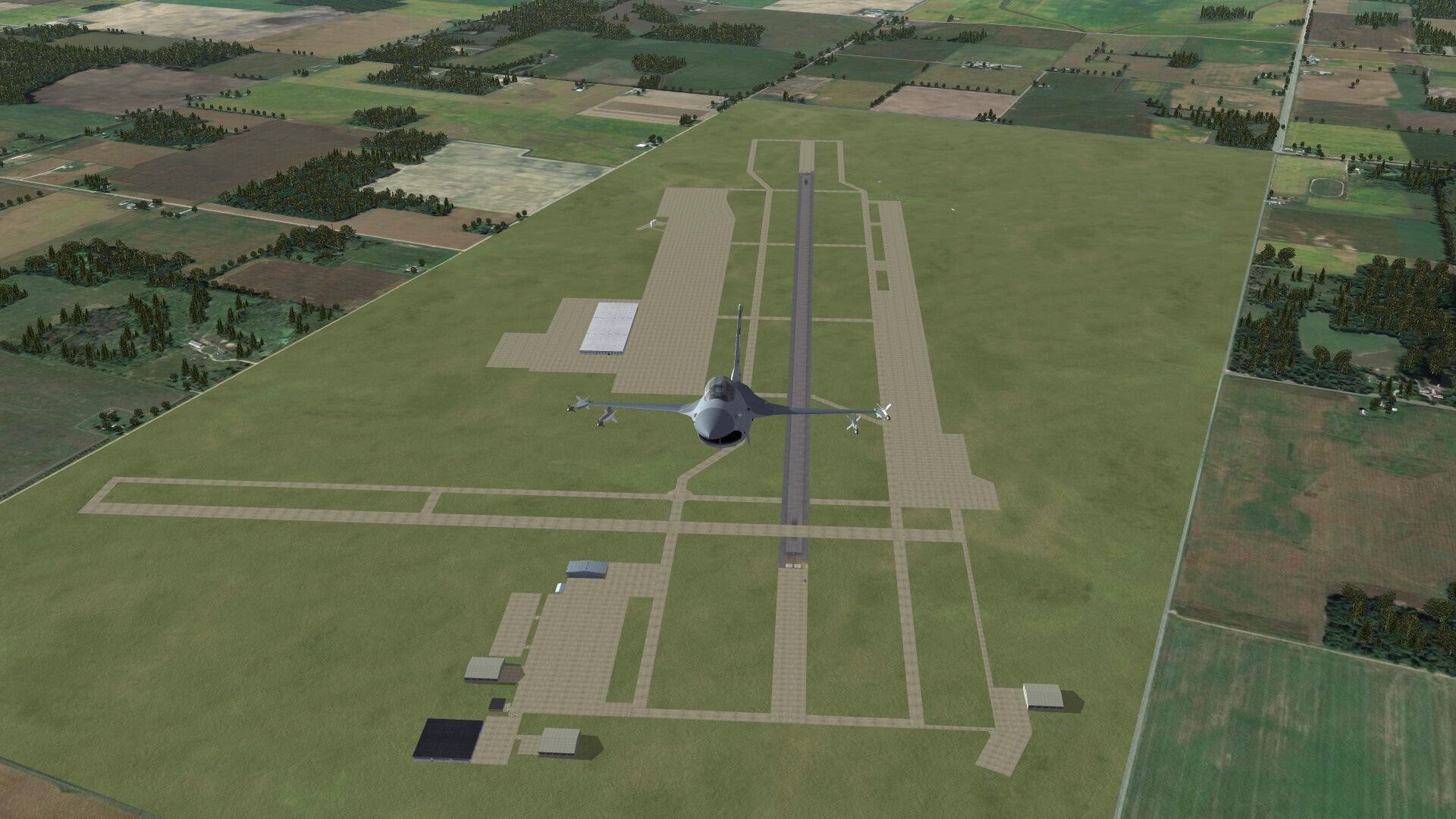
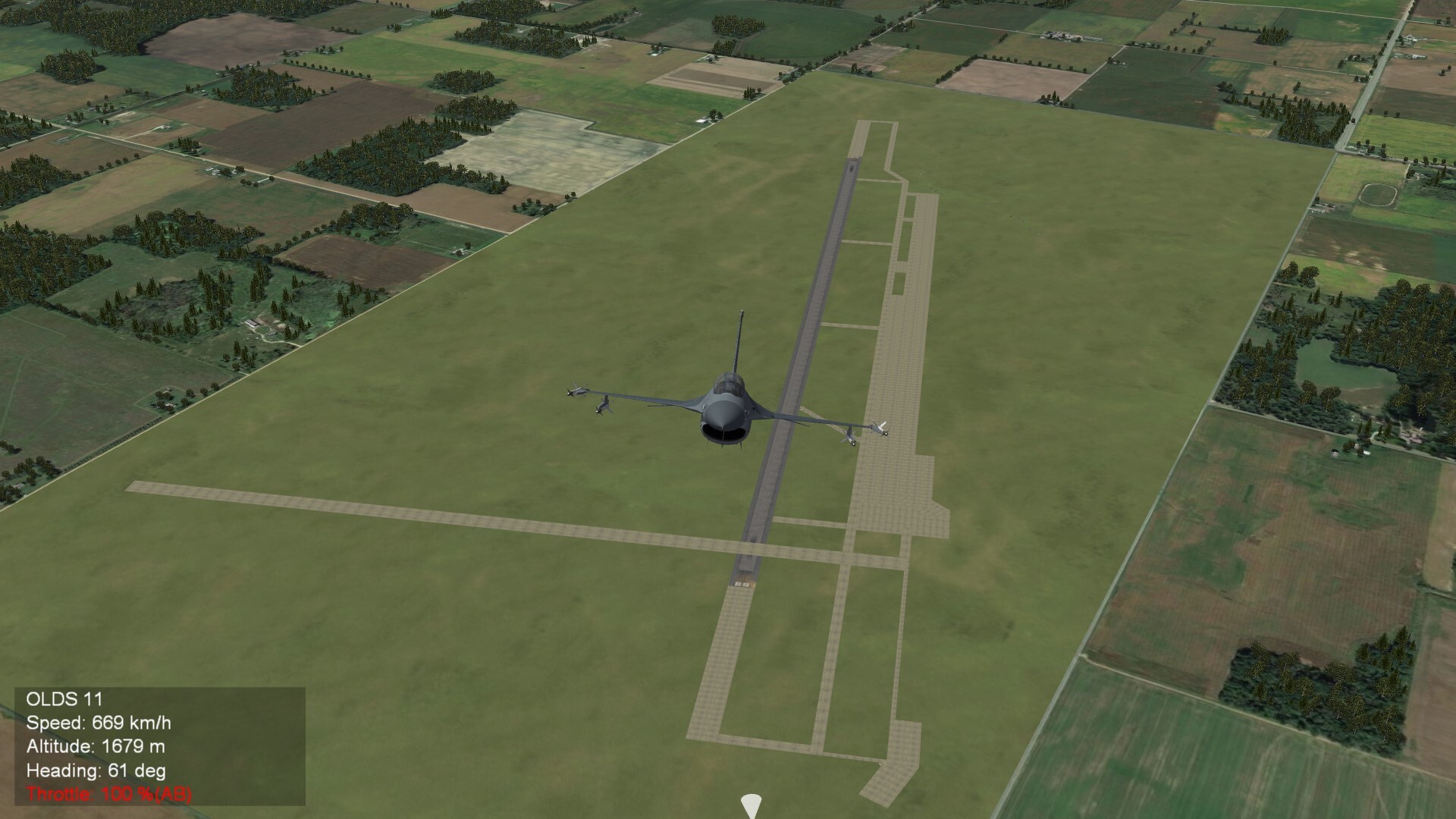
Toledo Express Airport, Ohio (WIP) The left lower part of this airport is the home of the Ohio ANG.

-
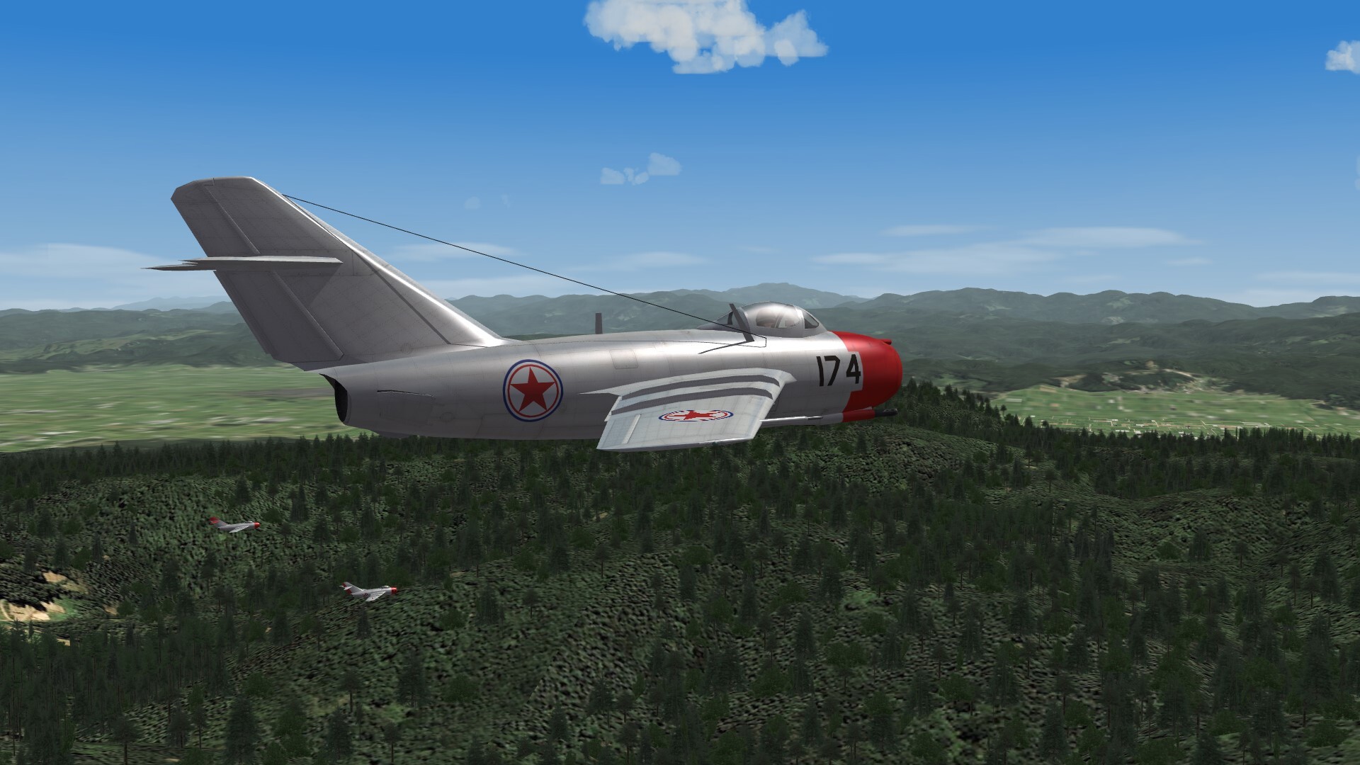
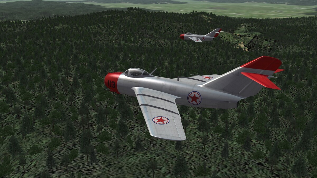
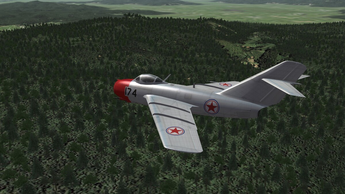
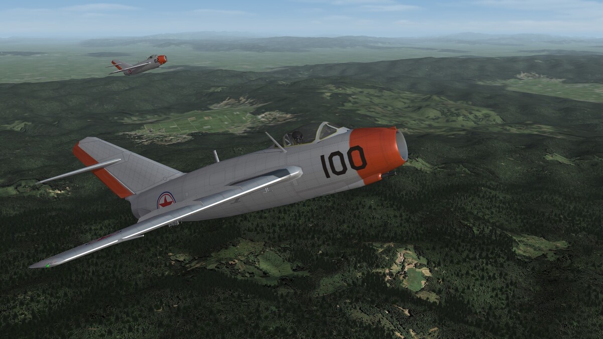
Over the MiG-Alley. Soviet pilots of the 151th Guard Fighter Squadron in 1951.
-
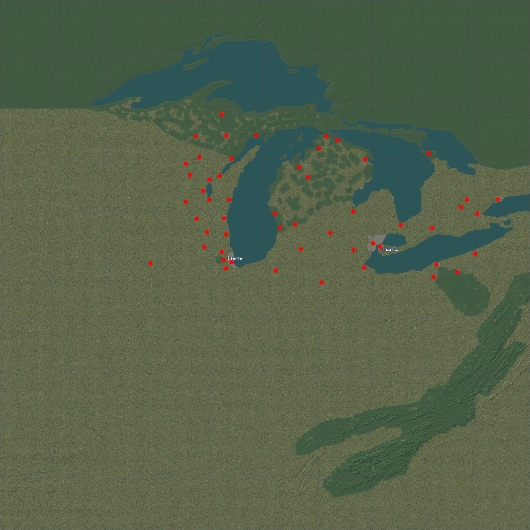
For Indiana i have airports at Fort Wayne and South Bend. In a first step i will create all airports and give each of them a unique layout, which is as close as possible to real layout. Afterwarts i think i should rework the hightmap. It is still warped. While the east west distances are mor or less correct, the north south distances are to short. I must stretch it to get the correct distances. The red dots are the intended positions of the airfields. The color has nothing to do with the side, it is only a placeholder

-
The first parts of Toledo Express Airport, Ohio are layed out. This base is also a home of the Ohio ANG.
-
Aggressors over Michigan.

-
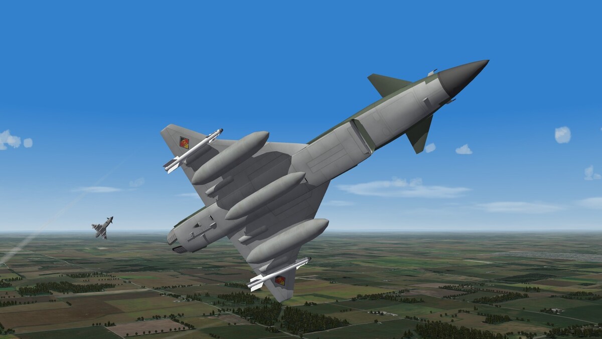
Lower the graphic setting and look what happens.
-
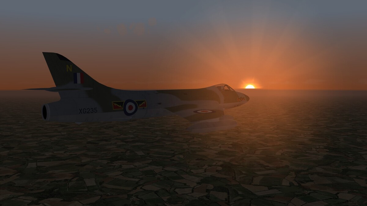
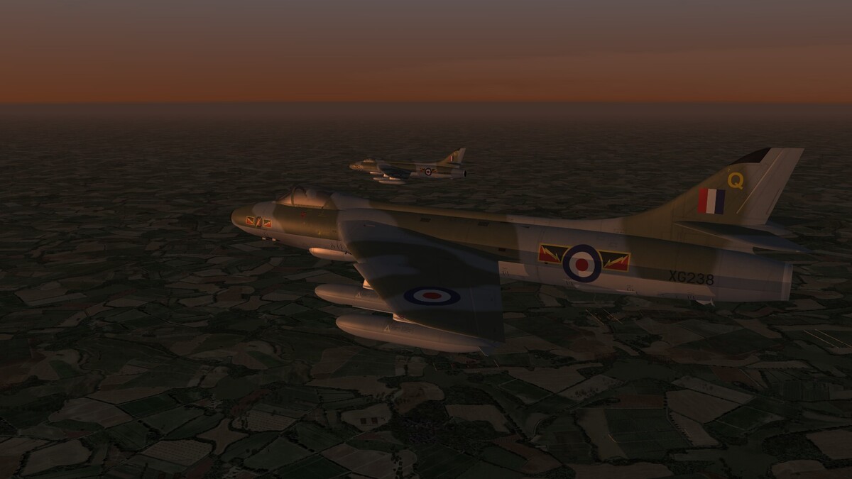
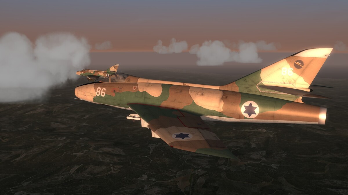
Hunters in the dawn.
-
When the time is over, then it is over. There is a point when planes are so outdated or so worn, that an update or repair is not worth the money. It is sad, but this is the life.
-
SF2 is a jet sim. Prop planes are more or less a sidekick. You can have a lot of fun with WW2 mods and i think much more fun than with IL2 or cfs3. But the realism of SF2 WW2 planes is not as accurate.
-
I tested it and it worked fine on my computer. Perhaps it has to do with the terrain, not with the plane. Try an other terrain and see what happens.
- 1 reply
-
- 2
-

-

-
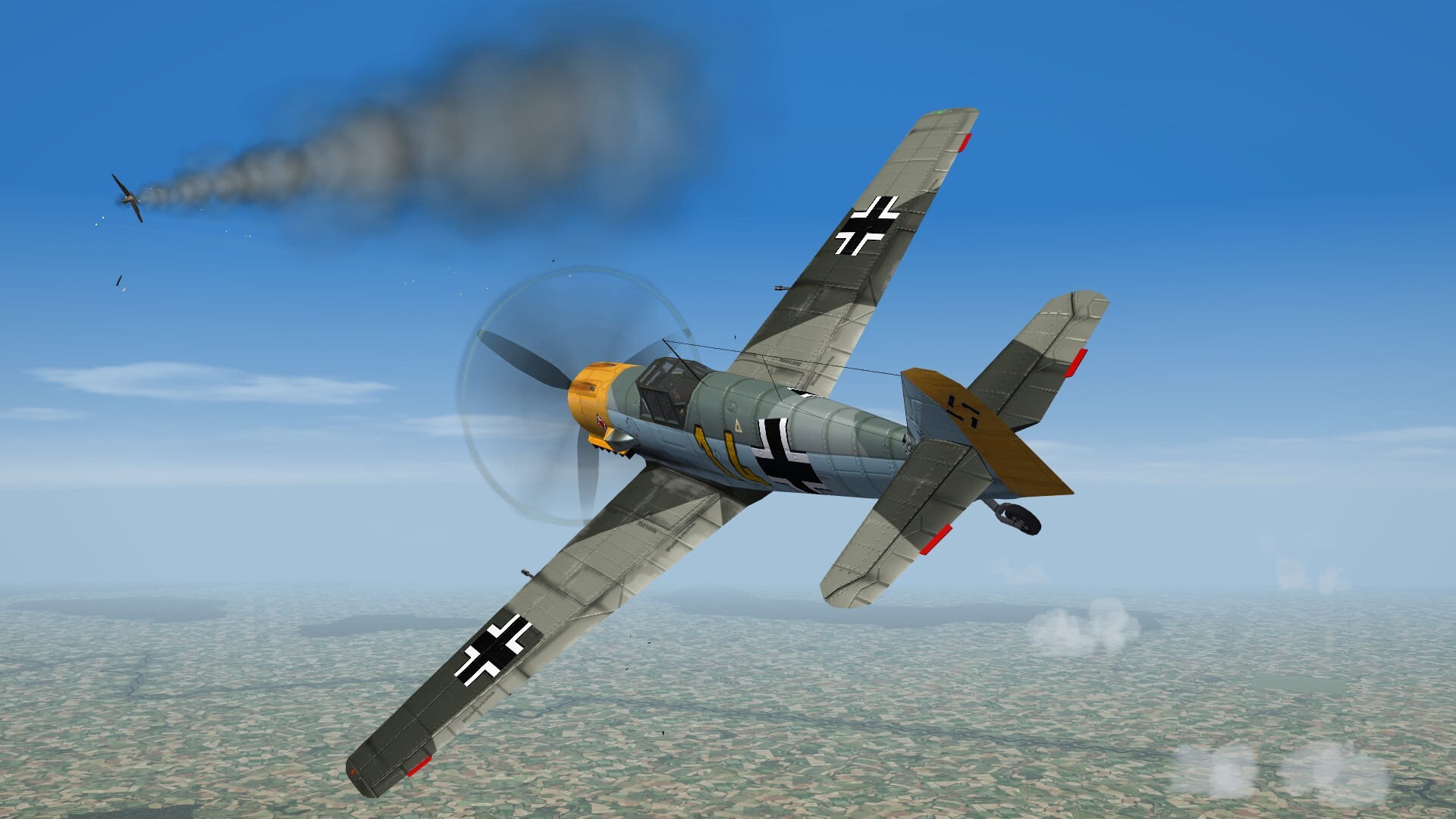
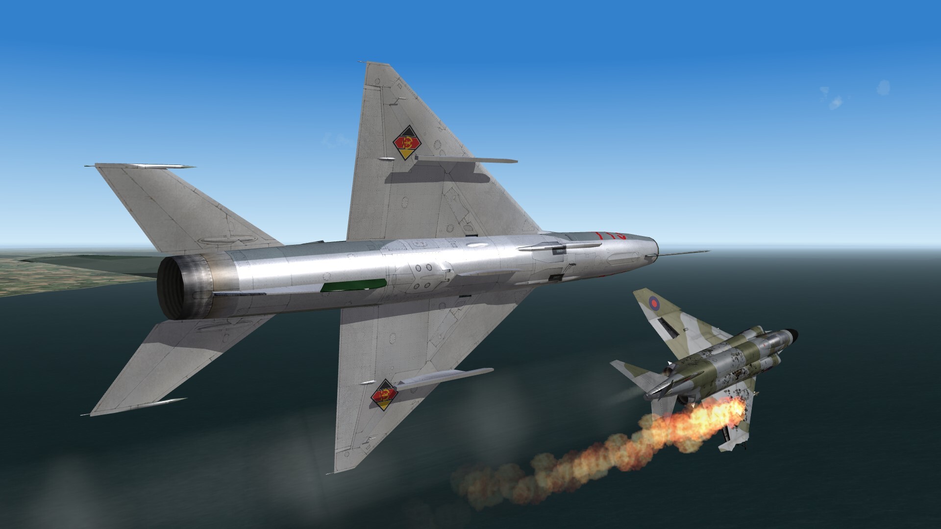
"Abschuss!!!" One Hurricane less!

-
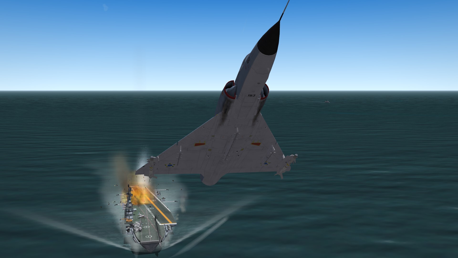
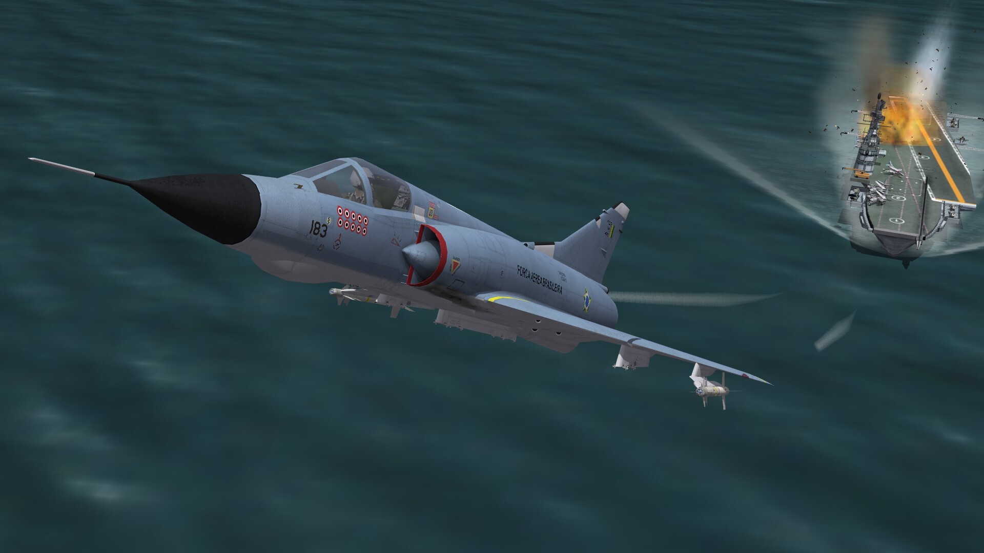
Gotcha!!!!

-
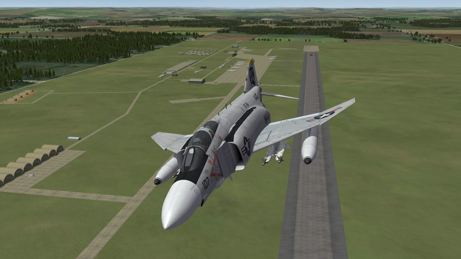
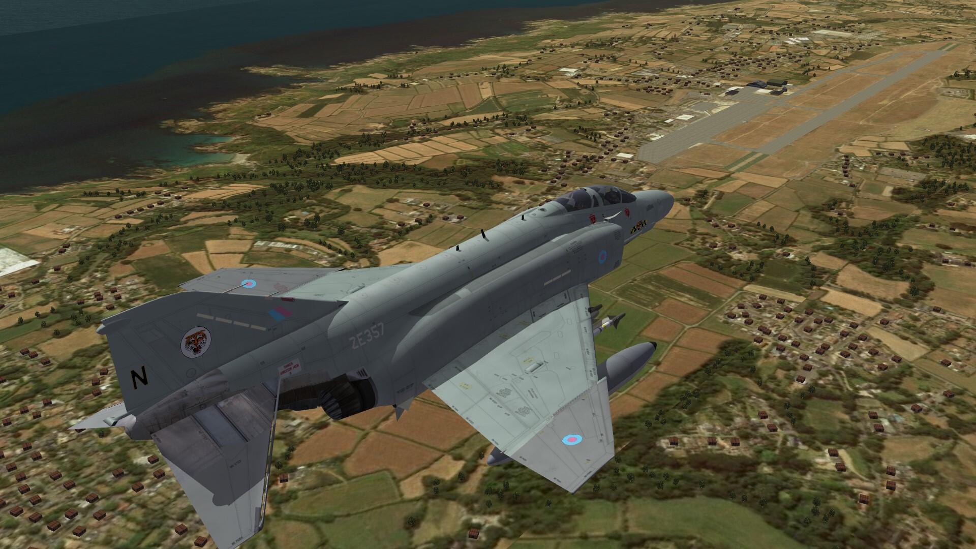
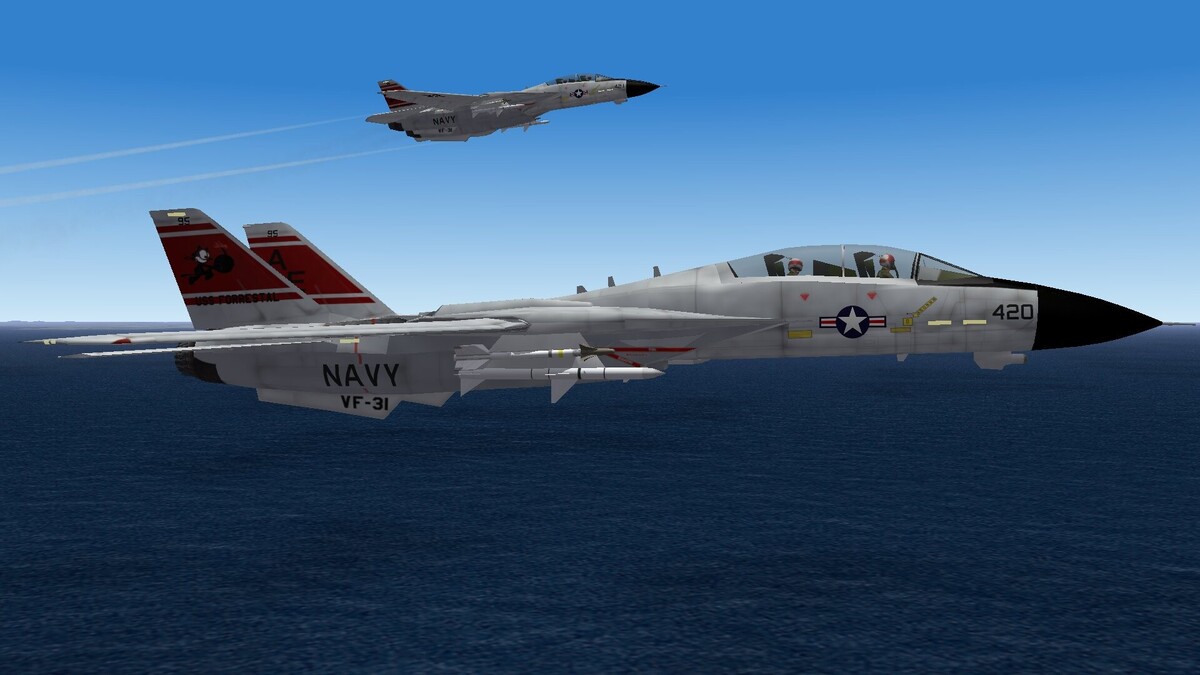
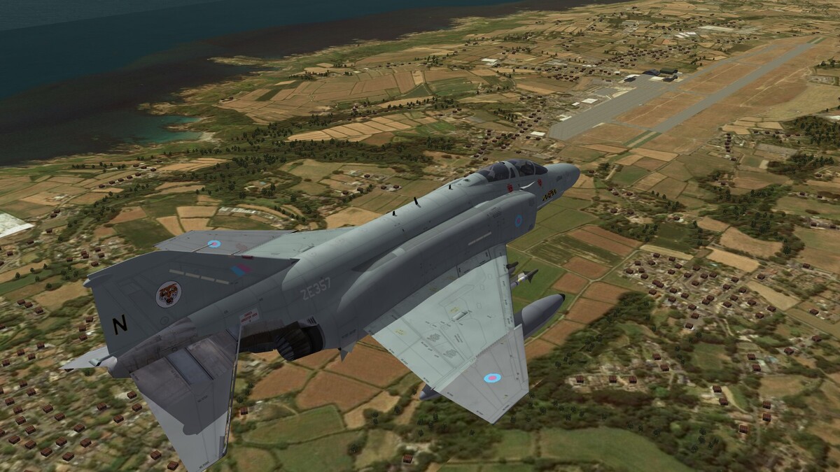
F-4J(UK) over Guernsey.
-
Scenery Rhinelander-Oneida County Airport
-
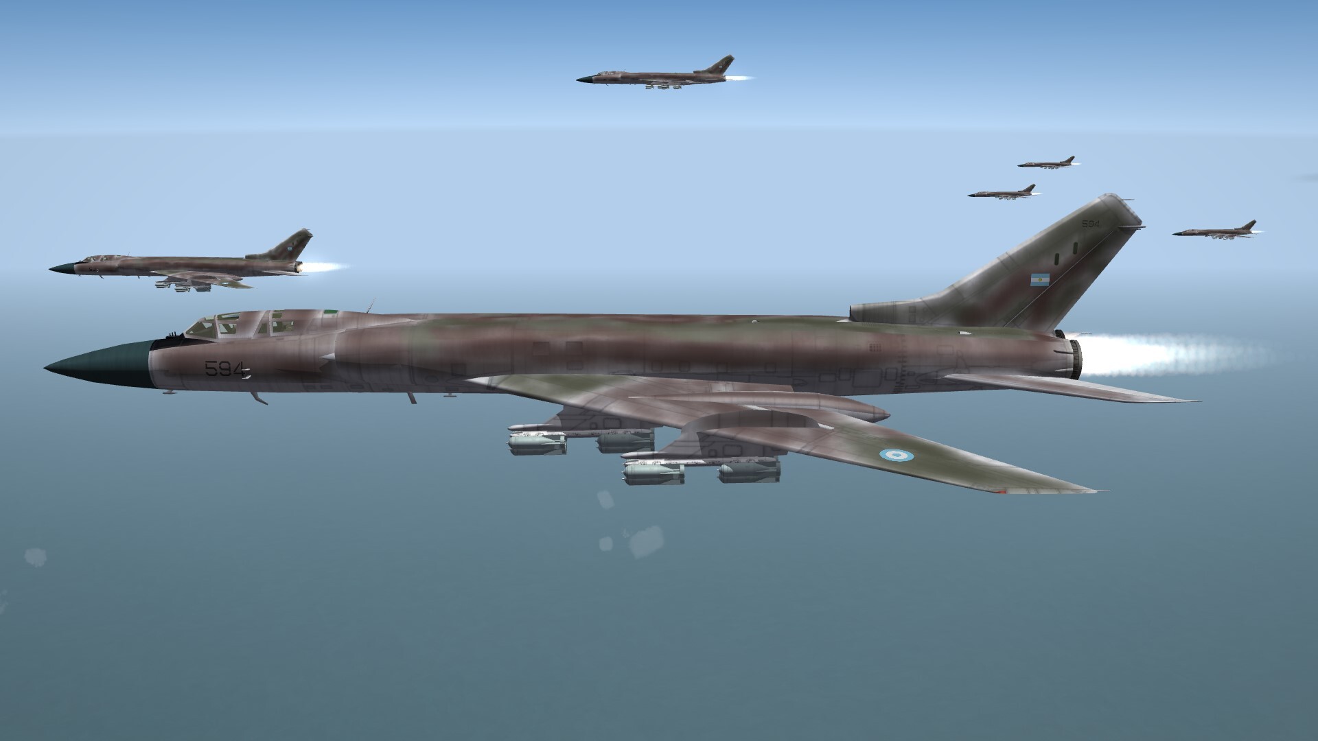
1982. Tu-28 of the Argentine Air Force heading for Malvinas Islands, or with other words to the Falklands.

-
Bagram Air Base, Afghanistan, 1987

-
In the light of the setting sun.
-
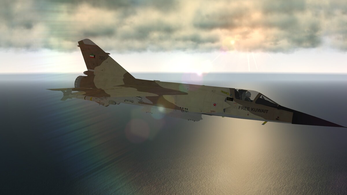
Somewhere over the Persian Gulf.