Gepard
-
Posts
7,076 -
Joined
-
Last visited
-
Days Won
361


About Gepard

Recent Profile Visitors
40,901 profile views


Gepard's Achievements
")


-
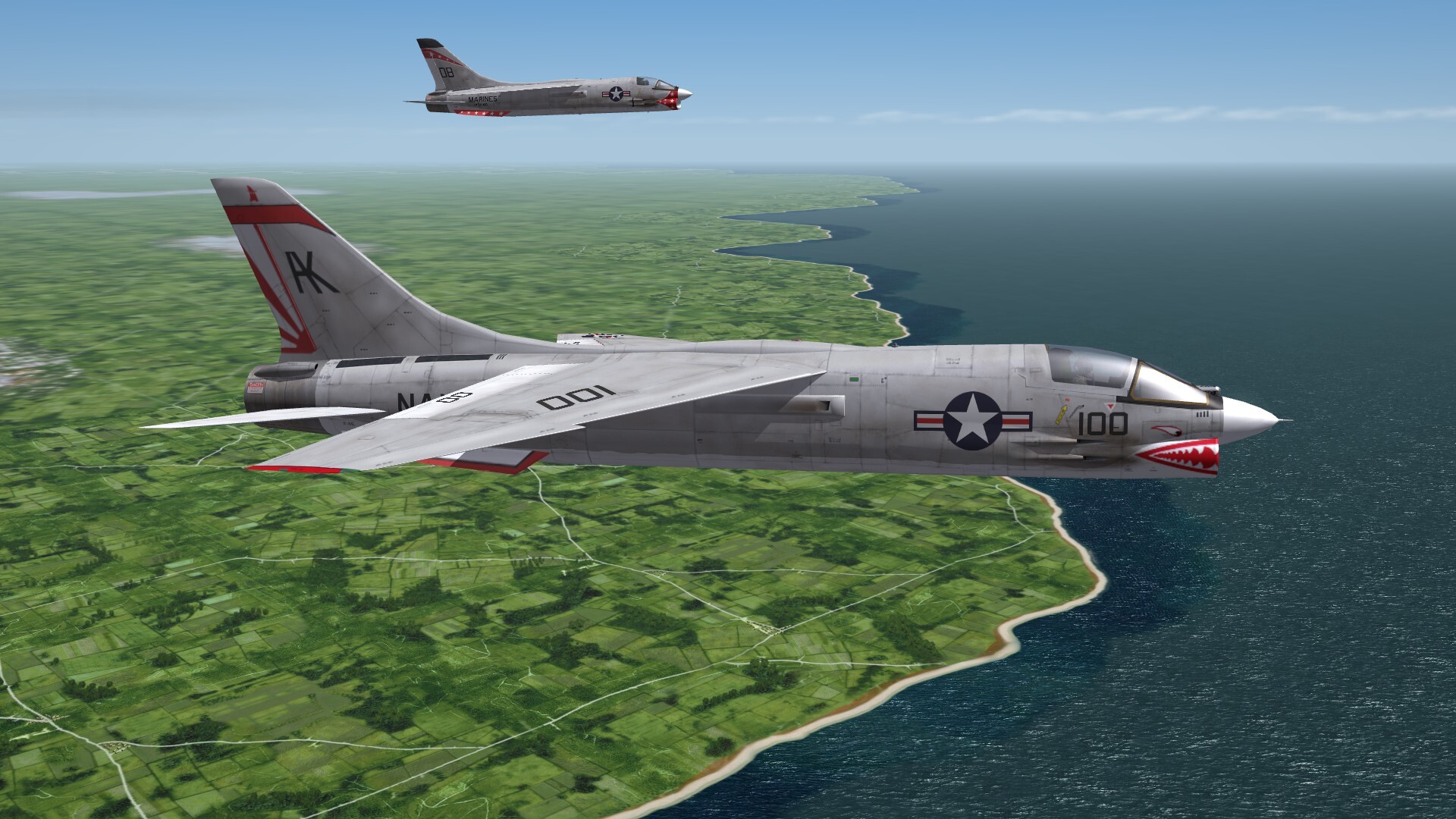
Wet feets!

-
 Black parts of a plane means, that there are skin files missing or in false formate.
 -
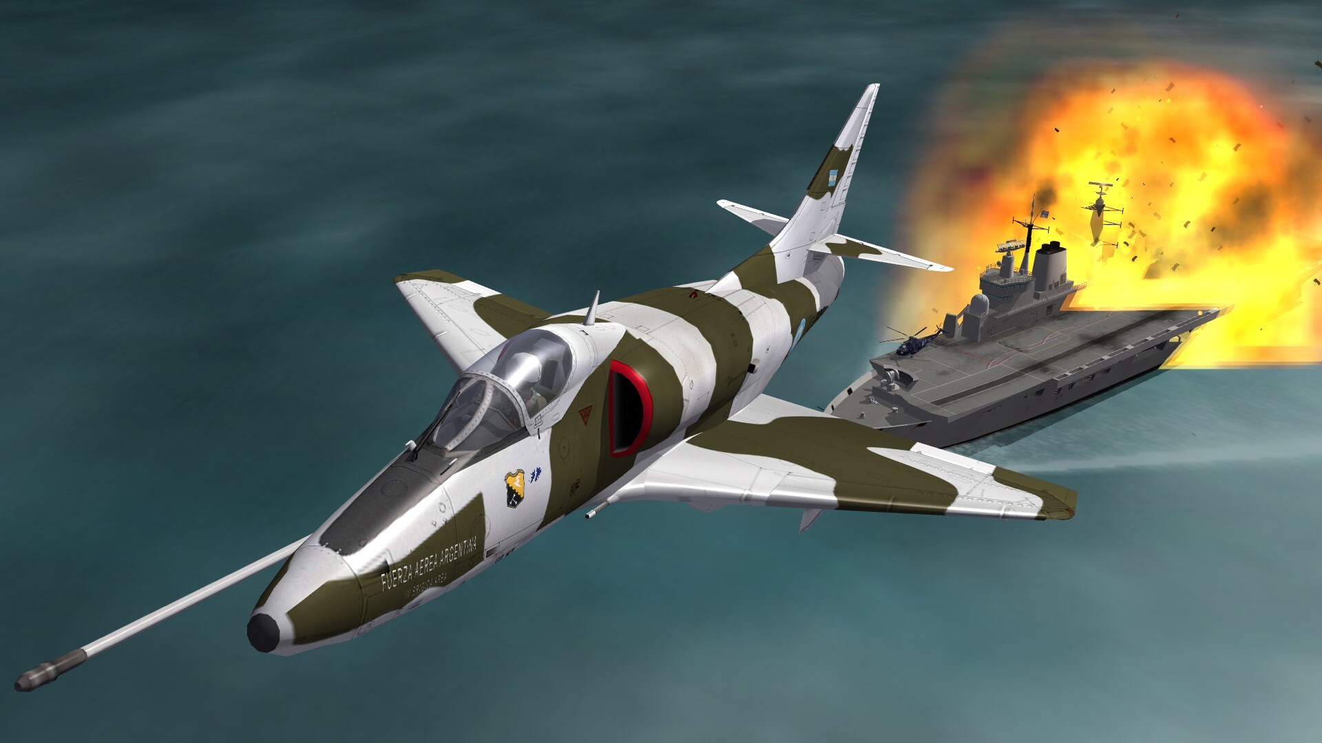
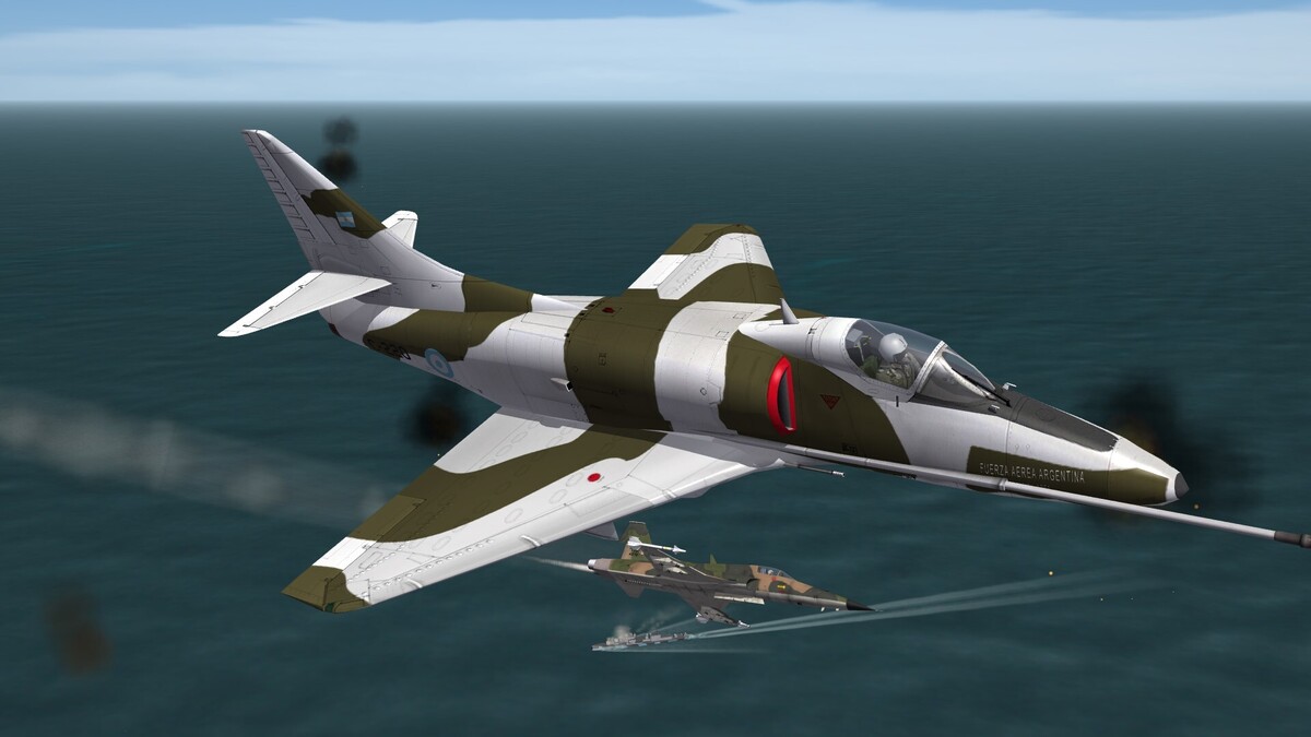
Viva Argentina!
-
And in Germany the folks still complain over the STASI! Today the AI knows more about me, that the STASI ever knew.
-
Small discussion with a brazilian Tiger.
-
A quick and easy solution of the problem of attack drones like the Shahed 136 or the ukrainian FP-1 would be to build fighters in WW2 style. Take a plane like the Mustang or the Spitfire or the Yak-9, which have enough firepower to kill a lot of drones during one mission. They are able to fly at low speeds and low altitutes. For night combat gives them NVG for their pilots. And the drones would have a hard time.
-
Argentina 2 : 1 England

-
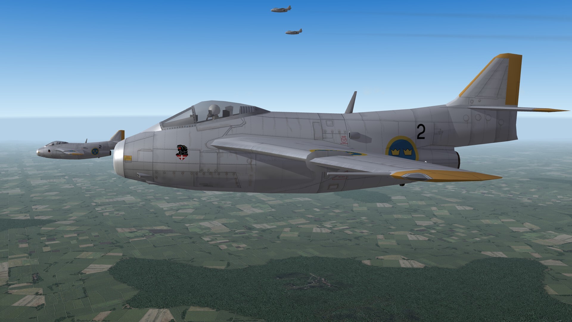
Tunnan, the flying barrel from Sweden.

-
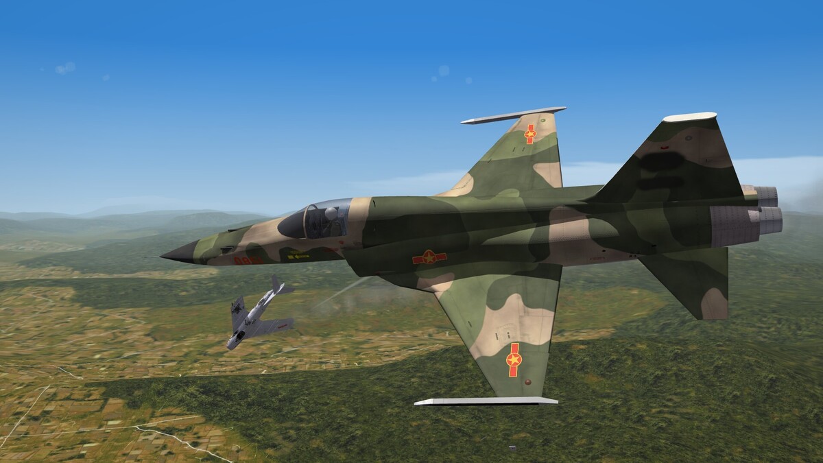
Borderwar 1979 between China and Vietnam.
-
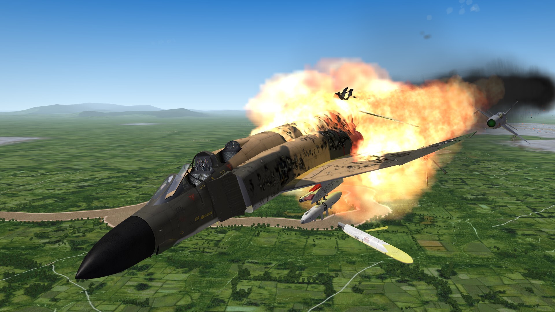
Ups. Shit happens. Haven't seen him coming.

-
are the devs of strikefighters2 doing anything new?
Gepard replied to stalinsons's topic in General Discussion
Making the game better is the job of the modders. -
F2J-4 Super Fury It was a project only. It never came to fly, but it would have been a beautiful plane.
-
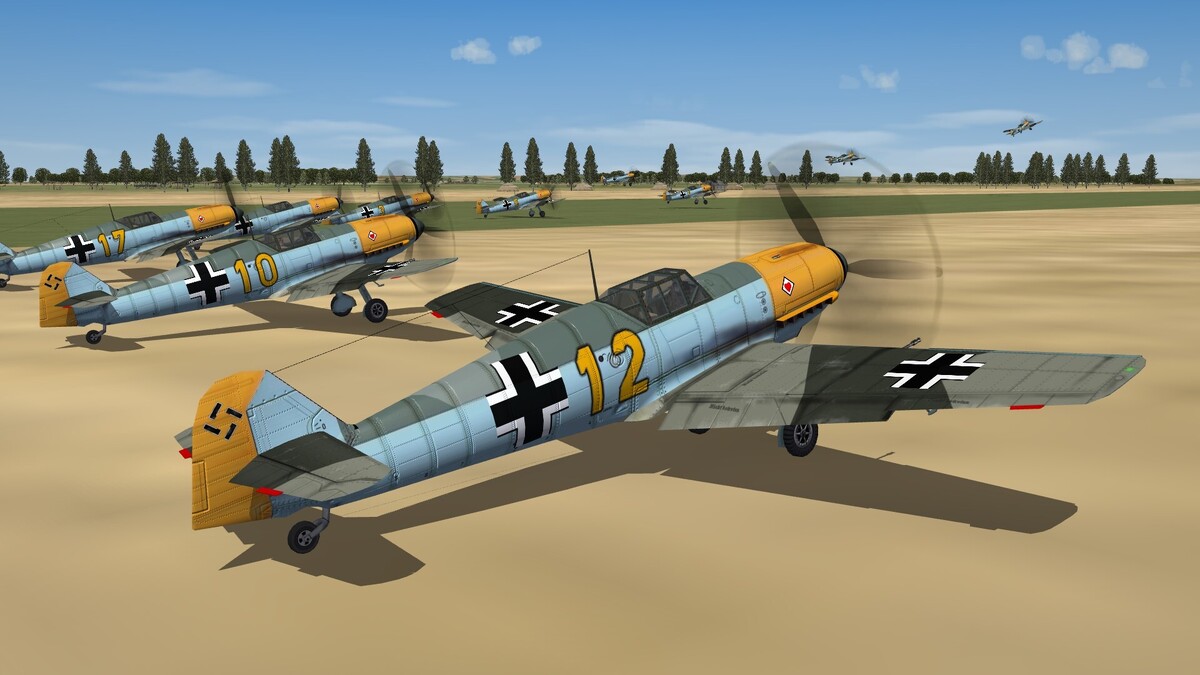
September 1940. A Me-109E squadron is taking off.
-
-
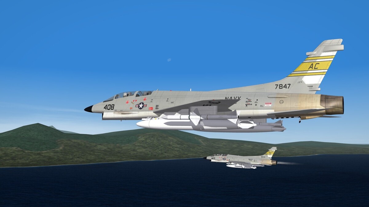
Vietnam Community Project Idea: Gulf of Tonkin Incident - Redux
Gepard replied to swambast's topic in General Discussion
No further updates are planned so far.