Gepard
-
Posts
7,004 -
Joined
-
Last visited
-
Days Won
356
Content Type
Profiles
Forums
Gallery
Downloads
Store
Everything posted by Gepard
-
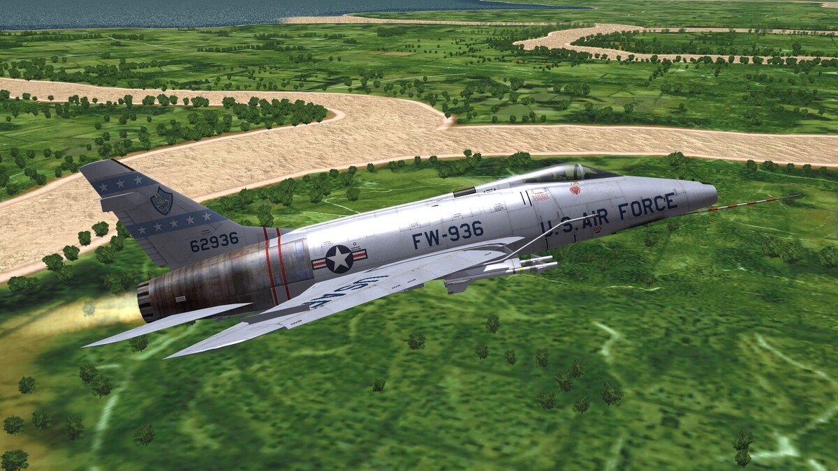
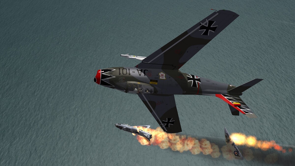
Somewhere over Vietnam.
-
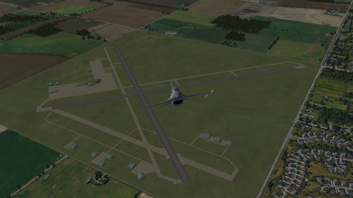
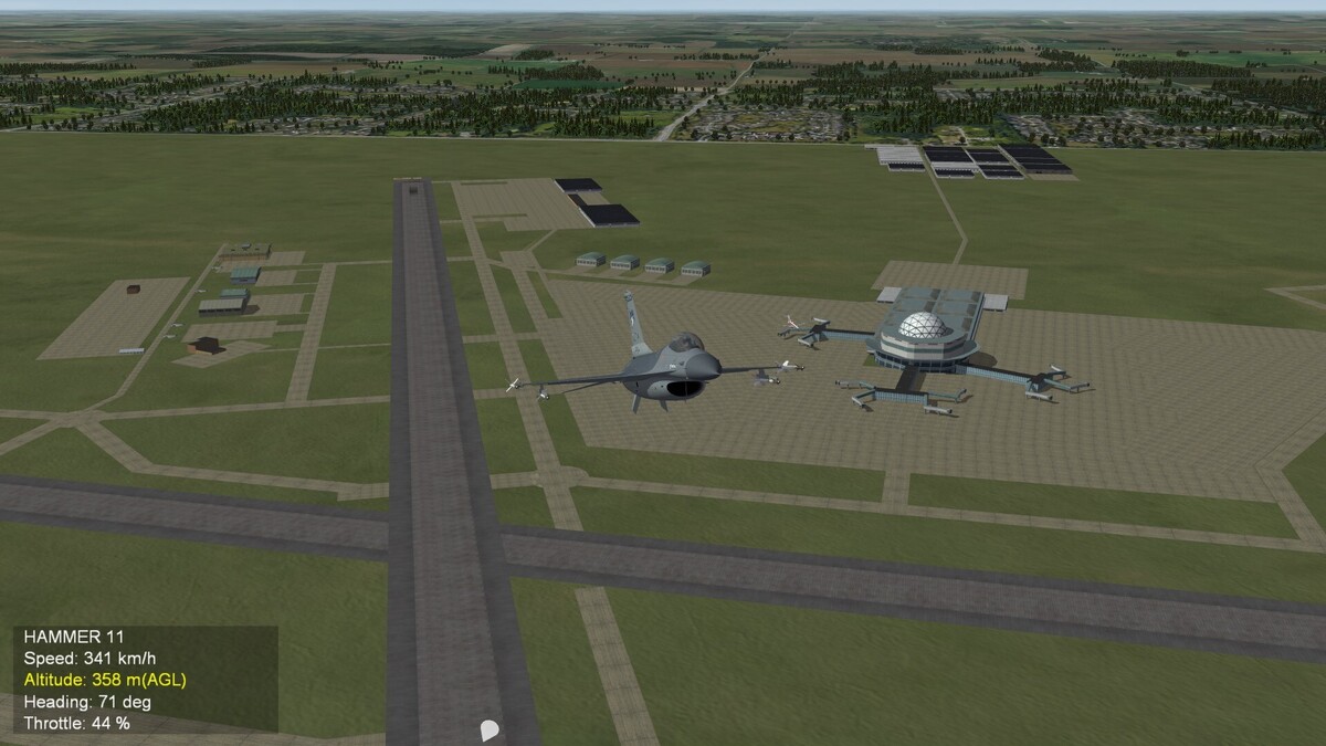
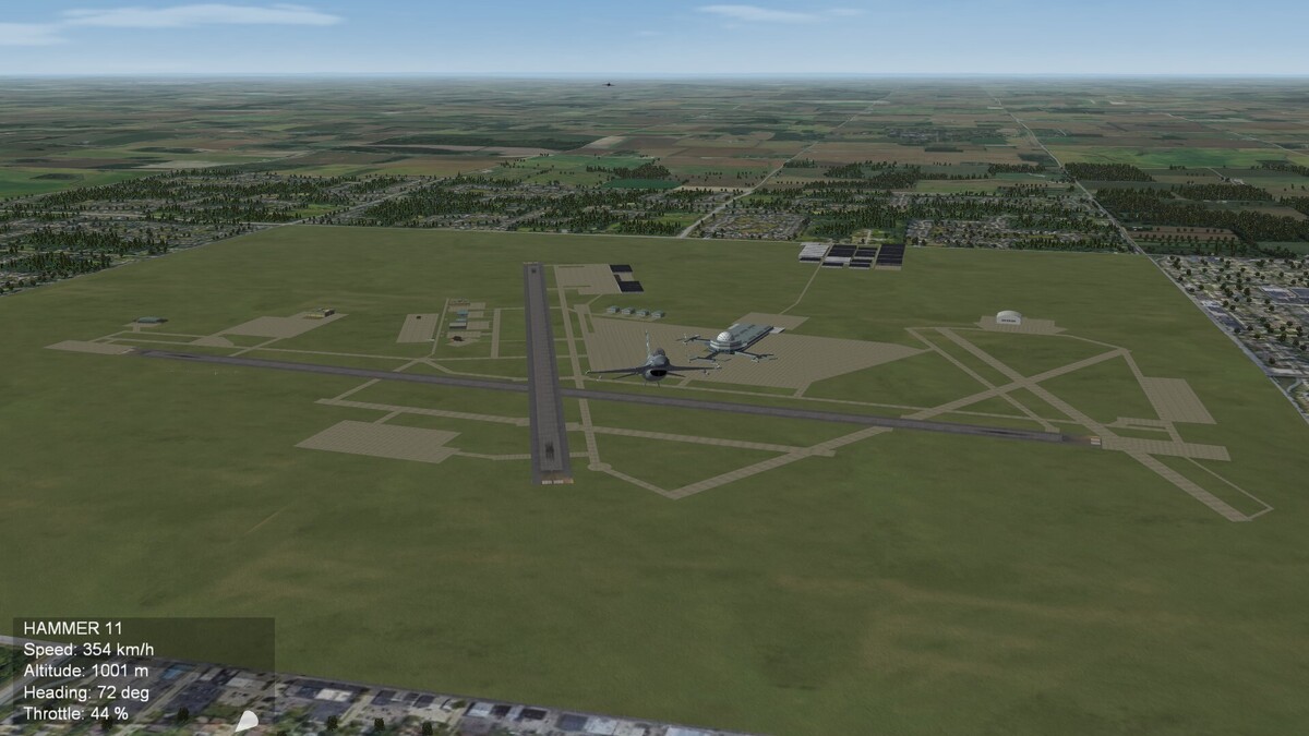
Southern Wisconsin Regional Airport, Janesville
-

-
No. The Frankenreich was long before. The Frankenreich reached from the shores of the Atlantic to the banks of the river Elbe, which is today in middle Germany. Later the Frankenreich fall into 3 parts. The western part became France, the middle part vanished in history and the eastern part became after a long and turmoil history Germany. (One part of the german history was the Holy Roman Empire of German Nation, which ended in 1806). It was a long process of nation building which is more than 1.000 years ago.
-
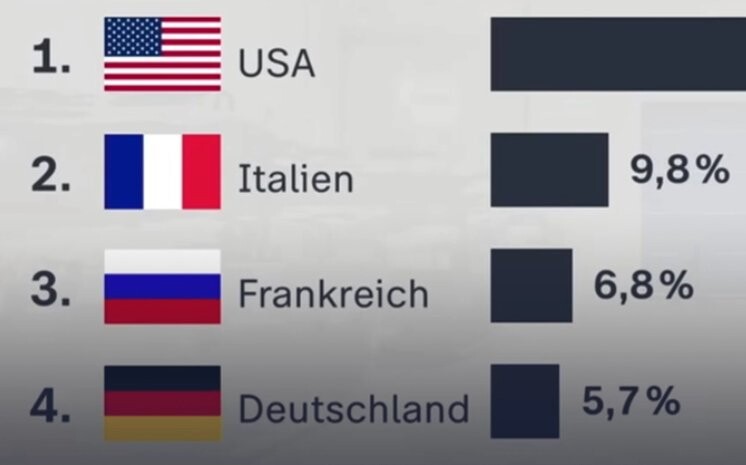
Frankreich is the german name of France, as Italien is the german name of Italy and Deutschland is the german name of Germany. The Franks were a germanic tribe, that conquered Gallia from the Roman Empire. They founded the Reich (Empire) of the Franks. From this the german term Frankenreich (frankish Empire) came, which later became Frankreich.
-

Do missiles actually chase fighter jets from behind like in movies?
Gepard replied to GKABS's topic in General Discussion
In a close dogfight a modern air to air missile, like R-73, AIM-9X, Phyton 4 or IRIS-T are agile enough to curve with a fighter plane, that tries to escape. So the answer, whether a missile is chasing a plane, is: when fired on the enemies tale, yes. -
Brexit.
-
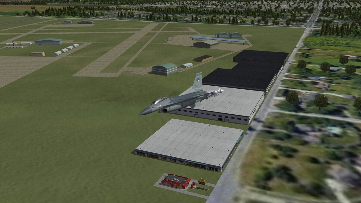
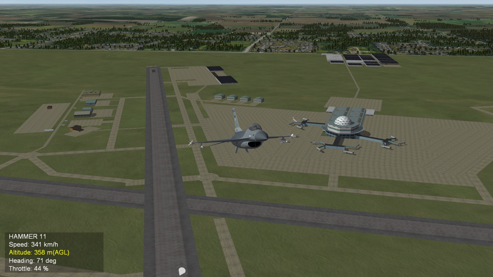
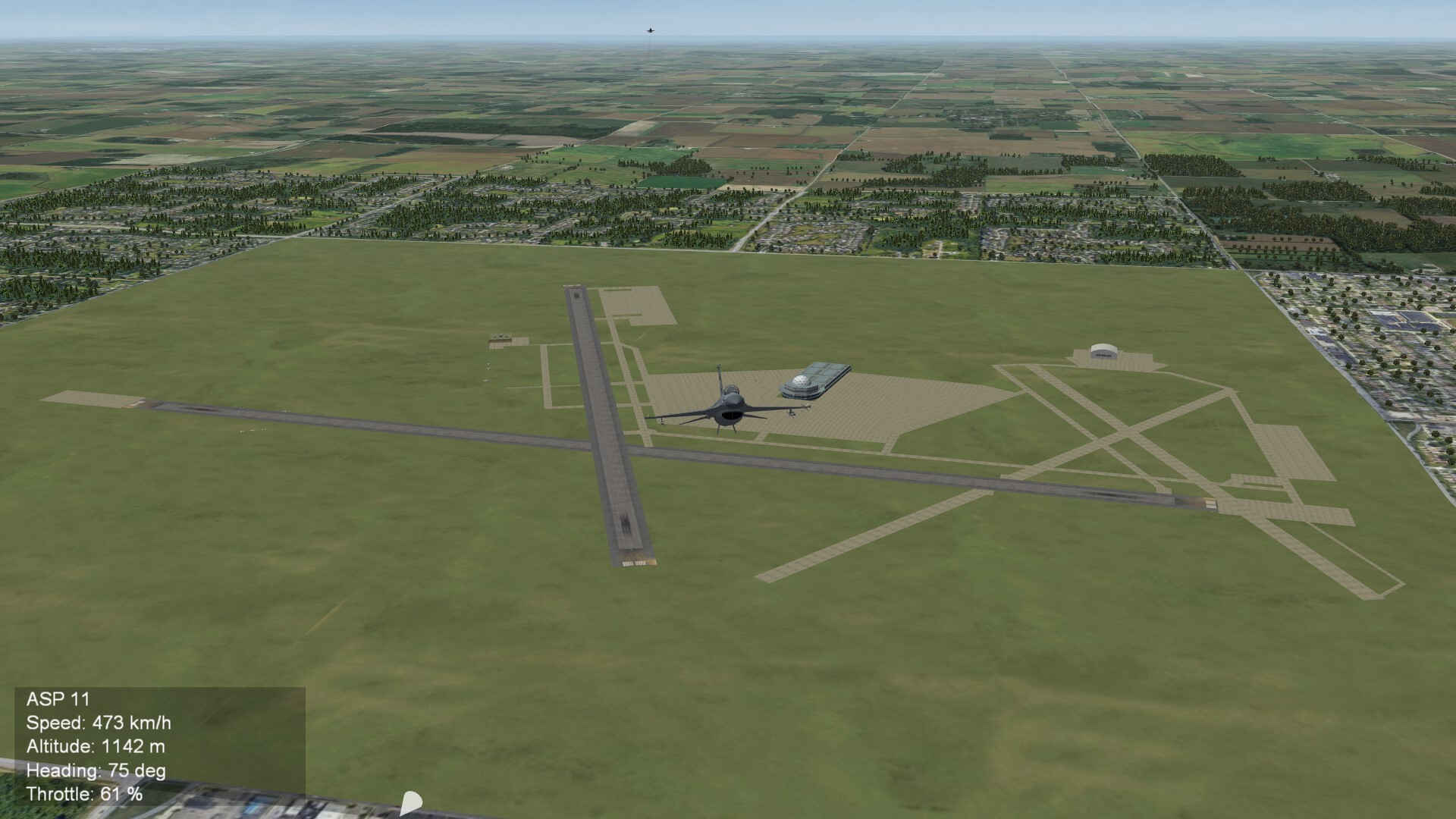
I placed a industrial area west of Milwaukee Airport and made some minor improvements. In the next step i will place the parked aircrafts and perhaps some static aircrafts, to populate the airport.
- 901 replies
-
- 10
-

-
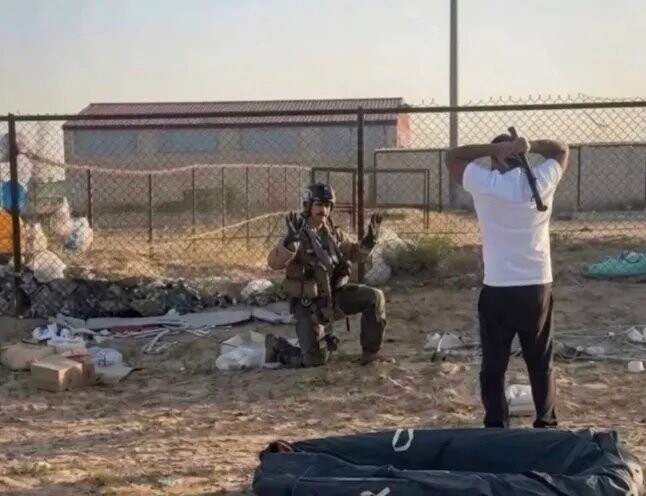
This picture shows a downed US-Pilot in front of an aggressive Kuwaiti. My question is, why he does not show a blood chit? In Korea or Vietnam War the US Pilots had silk scarves with US flag and a printed text in different local languages, which declares, that the pilot is an american citicen and ask for help. This scarves were called blood chit. That's why my question on the wisdom of our forum: does the US military use the blood chit in our days?
-
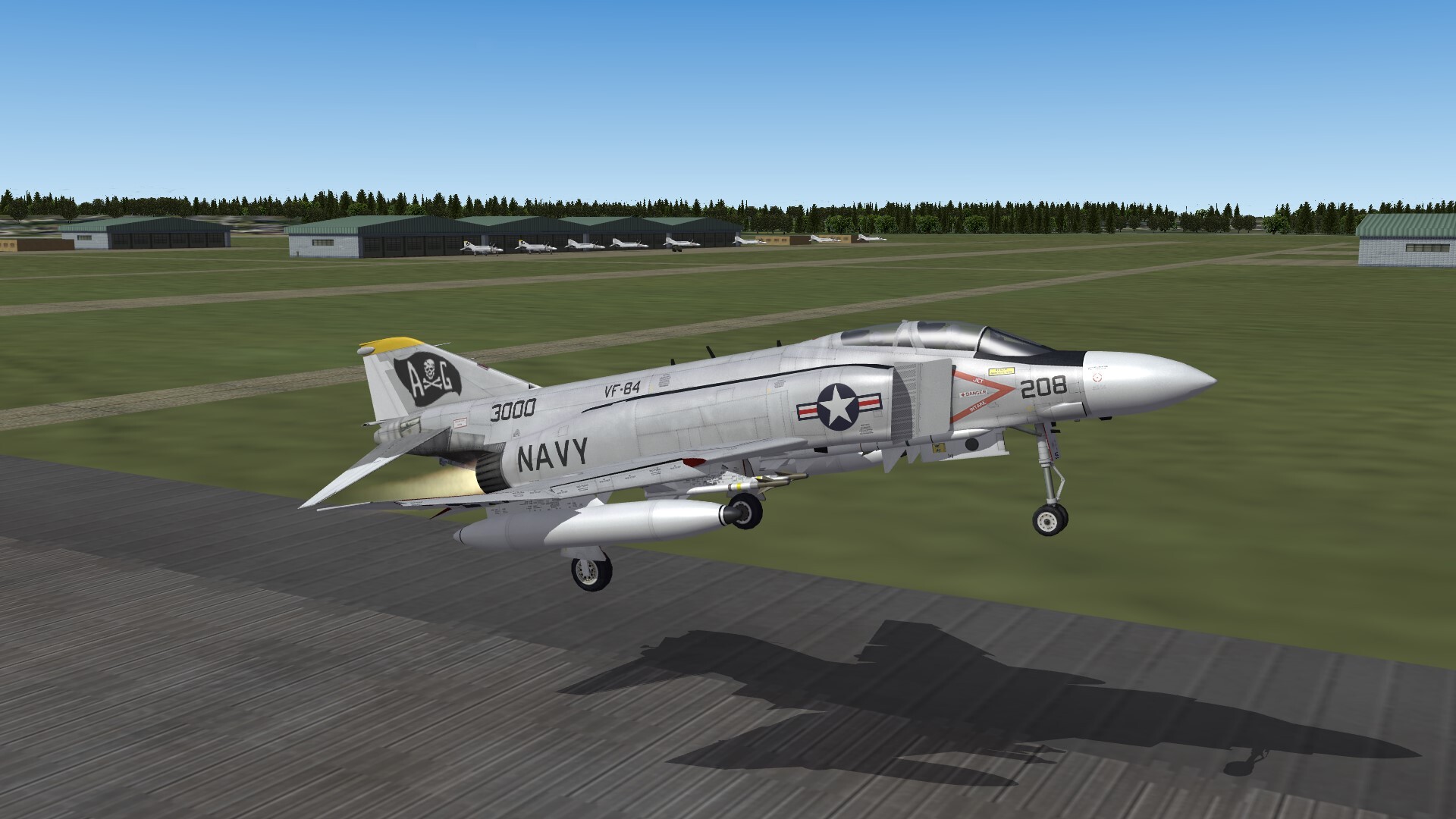
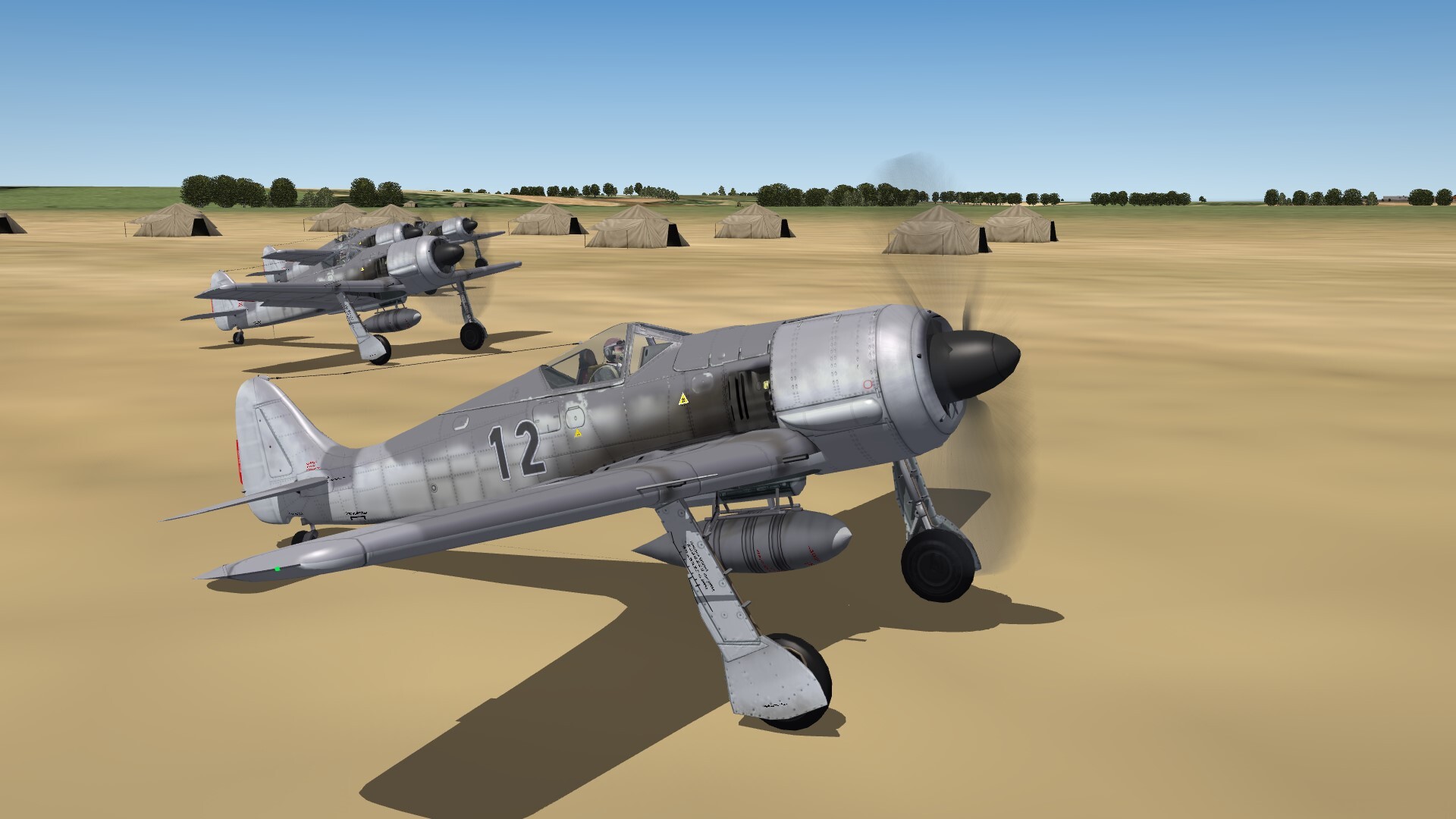
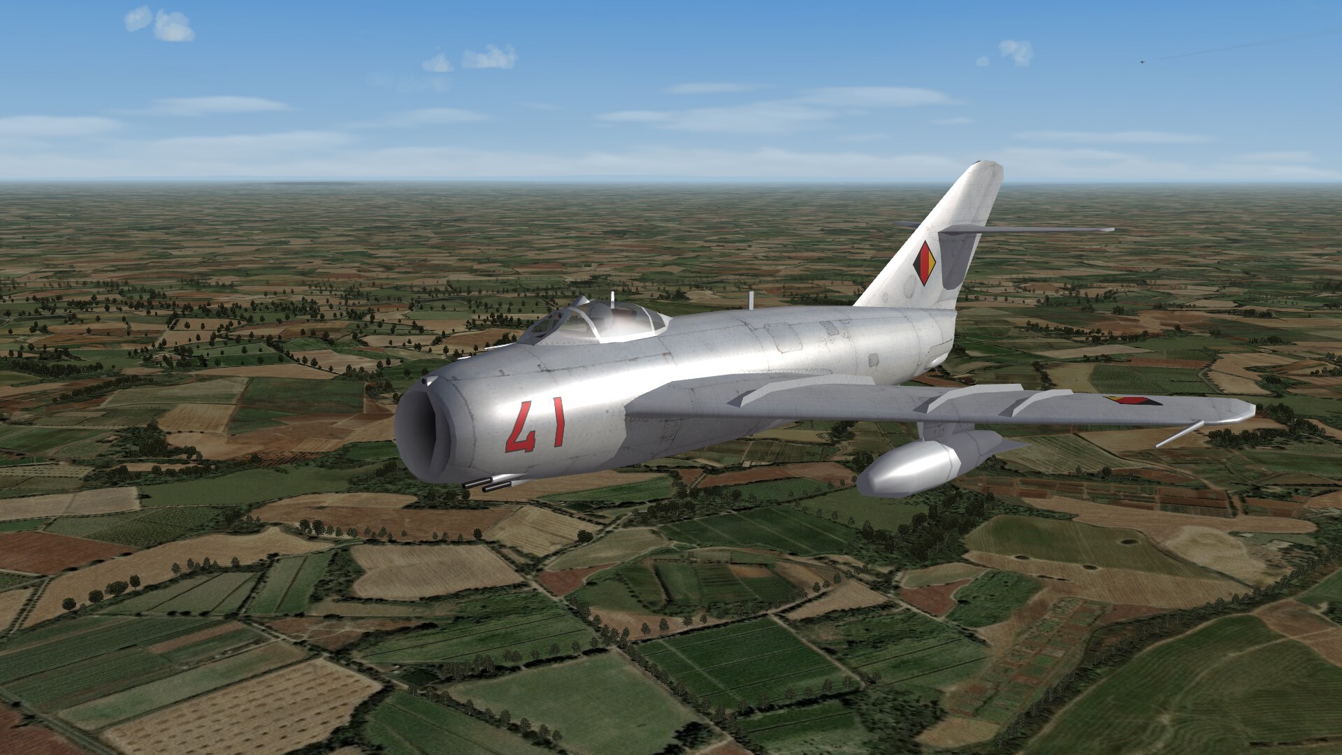
Ready for take off!

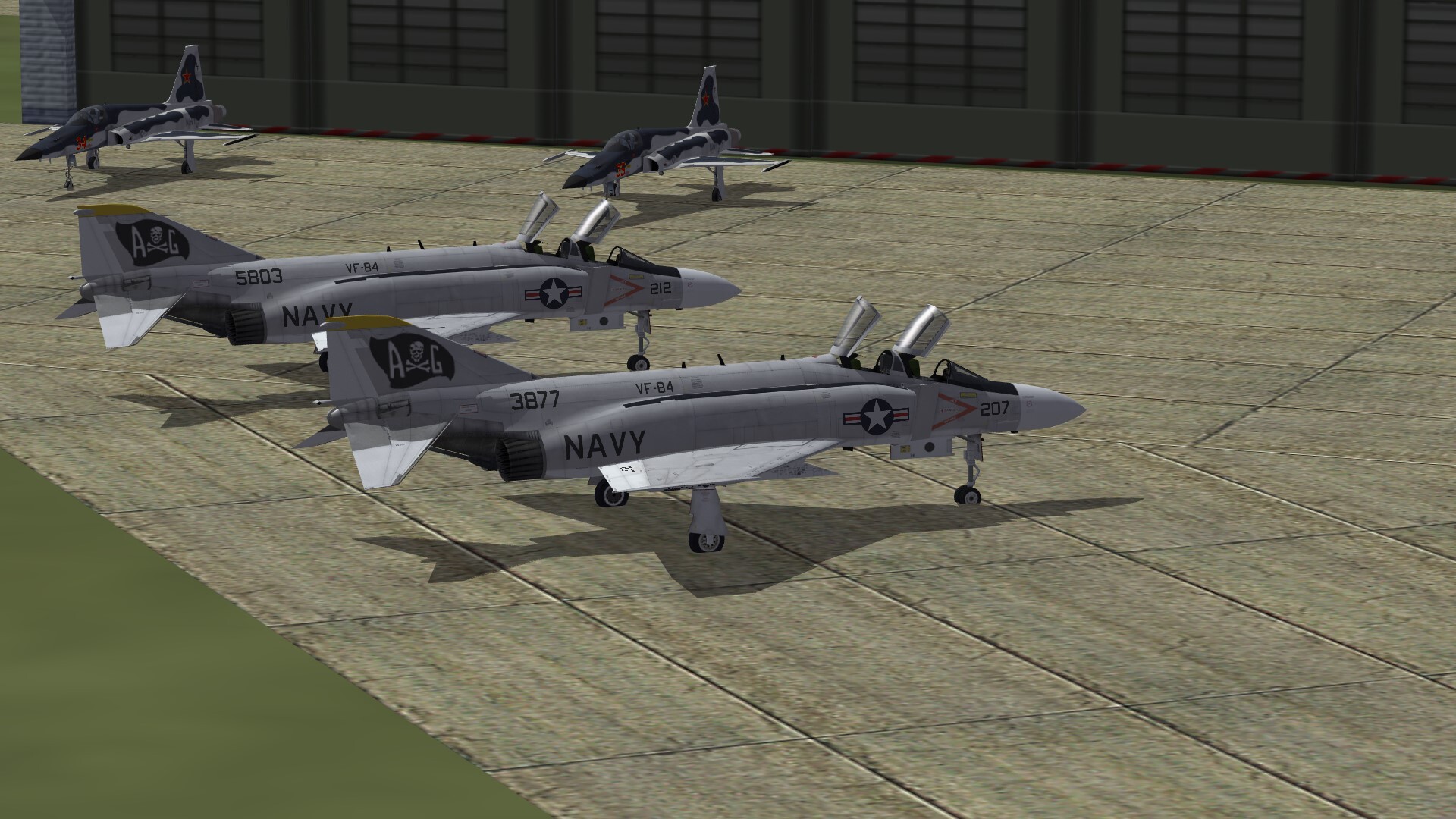
-
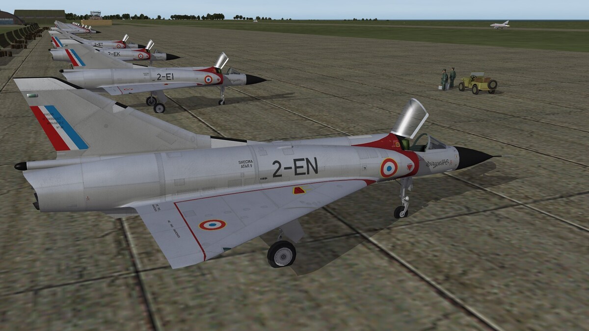
Flightline of Mirage III
-
-
How to play "Red side" without being obliterated?
Gepard replied to MAF1247's topic in General Discussion
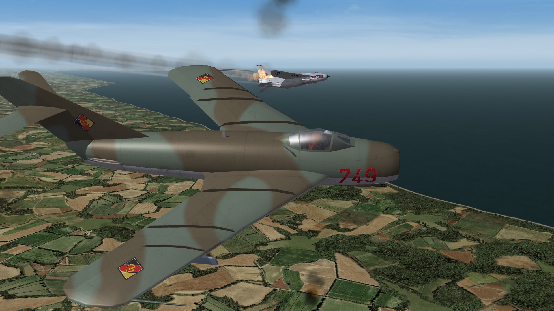
The true story was, that east of the island of Usedom was an aerial shooting range, know as "Luftschießzone 1 und 2". This was used by our Air Force and the Czechoslovakian Air Force. This shooting range was over open water and that's why western spy ships had the chance to monitoring this area all over the time. IIRC it happend in the late 1960th or early 1970th. A german MiG-21 fired a R-3S missile (AA-2 Atoll), but the rocket engine failed and the missile falled down into the Baltic Sea. The West German spy ship was eyewitness. As soon as possible west german frogmen were flown by helicopter in that area with the task to search for the lost missile. At the same time the East German Kampfschwimmerkompanie KSK-17 got the same task. And so east and west german frogmen fought a race to find the missile. With a lucky end for the western side. Their frogmen found the missile, transported it to the spy ship and sent it home to West Germany. And so the West Germans got a R-3S missile by first hand. Or with other words: shit happens. -
Sorry that i ask. But what is Shotz Brewery?
-
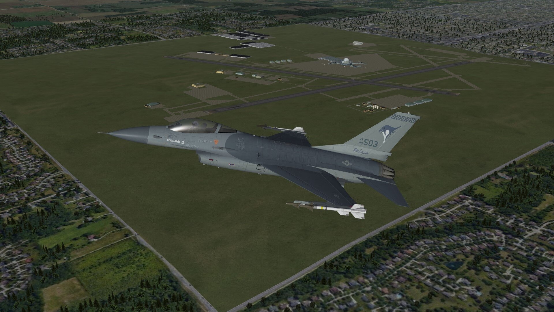
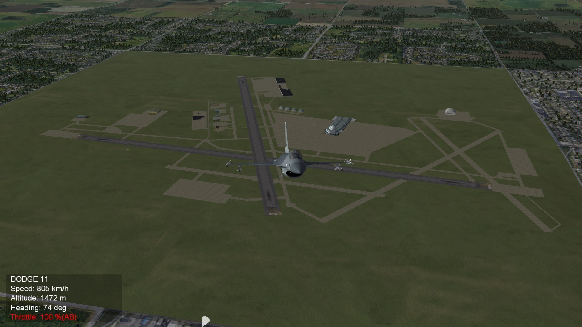
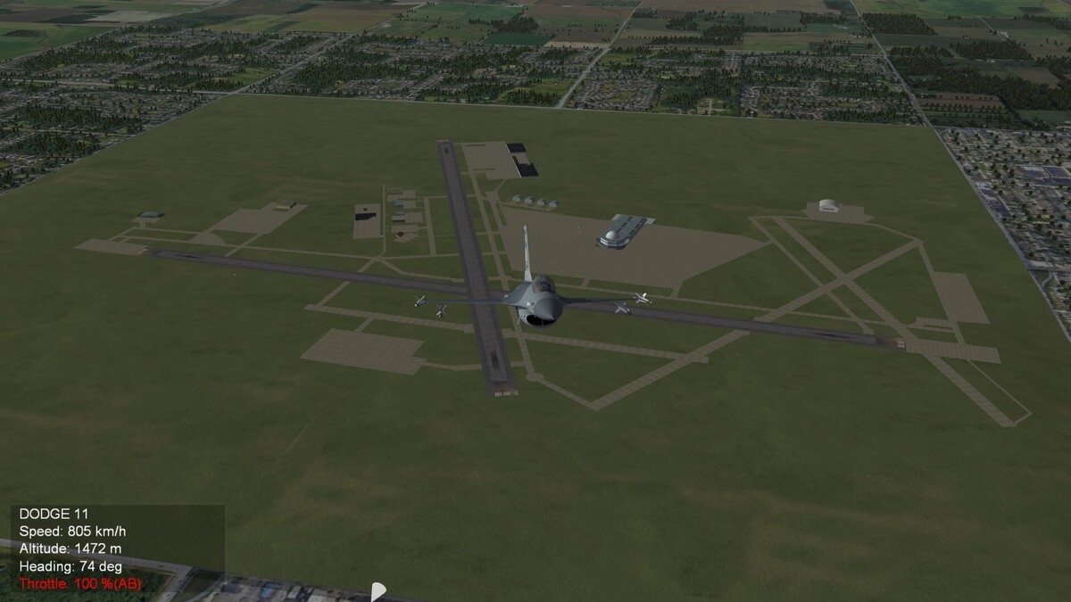
Milwaukee next step forward. It is a damn big airport.
-
How to play "Red side" without being obliterated?
Gepard replied to MAF1247's topic in General Discussion
You may belive this, but in reality it was different. The AIM-9B and the R-3S were the same weapons. They had only a different lable on it. The West Germans captured a East German R-3S missile and after an analysis they stated: Its a perfect copy of the AIM-9B. After german unification in 1990 the West Germans had a lot to do to analyse eastern weapon technic. The seaker head of the R-60MK missile was comparable with the AIM-9L seeker head, while the R-60 was much more agile and had a much higher load factor. The R-73 missile was stated as one generation ahead to all western IR-seeker missile of its time. The american and western weapons were superior to soviet export weapons. Thats true. But these weapons were downgraded and less capable as the weapons the soviets had for themself. -
How to play "Red side" without being obliterated?
Gepard replied to MAF1247's topic in General Discussion
One problem is, that western weapons are overpowered, while eastern weapons are underpowered in game. Even when it are basically the same weapons, the western is more accurate and capable. For example AA-2 Atoll and AIM-9B. Its the same weapon. But in game the AA-2 has an accuracy setting of 60, the Sidewinder has 65. The Sidewinder has a bigger launch reliability and a bigger seeker FOV and so on. In game it is the better weapon. -
First steps are done to create Milwaukee Airport.

-
70 years ago. The East German Air Force, Luftstreitkräfte der DDR, was founded.

-
So which came first, the cannon or the aircraft?
Gepard replied to Fdino's topic in Air Combat School
No it was the egg! -
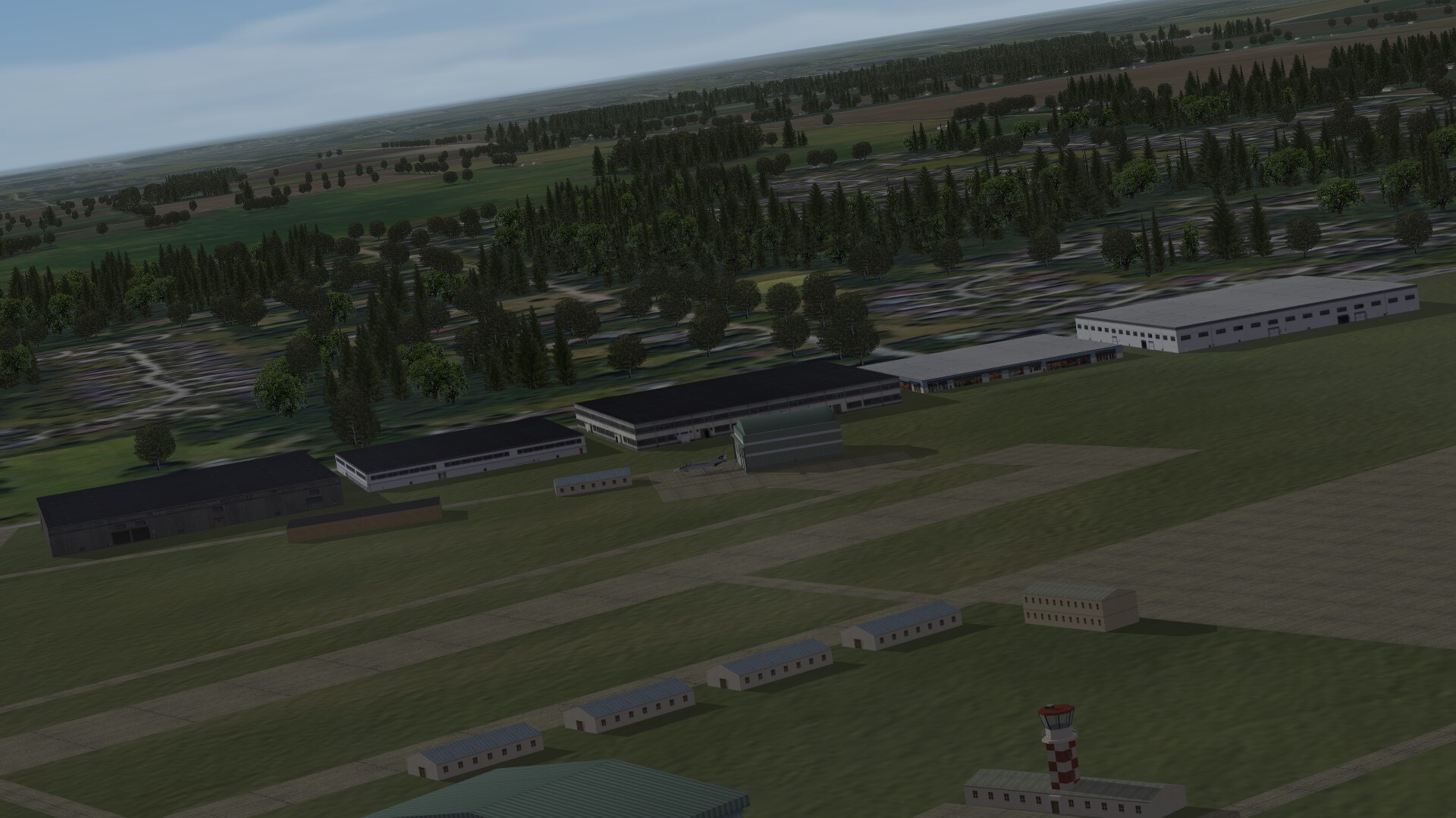
All buildings along the road are made by Swambast. He is truly an artist. I placed them only on the map.
-
New buildings made by Swambast. I think it looks like America.