Gepard
-
Posts
7,004 -
Joined
-
Last visited
-
Days Won
356
Content Type
Profiles
Forums
Gallery
Downloads
Store
Everything posted by Gepard
-
Blueprints of the F-20 Tigershark were stolen by East German intelligence service HVA. The plane was built as FWD-86 by Flugzeugwerft Dresden. Entered service in 1987.

-
-
Has someone an idea how to increase the distance of visibility of TOD objects?
-
Kenosha Regional Airport, completed. Milwaukee will be next. I got some flat roof buildings from Swambast, which i'm still testing. But to be honest, they are looking good. I think they fit perfectly to an USA terrain. Later more.
-
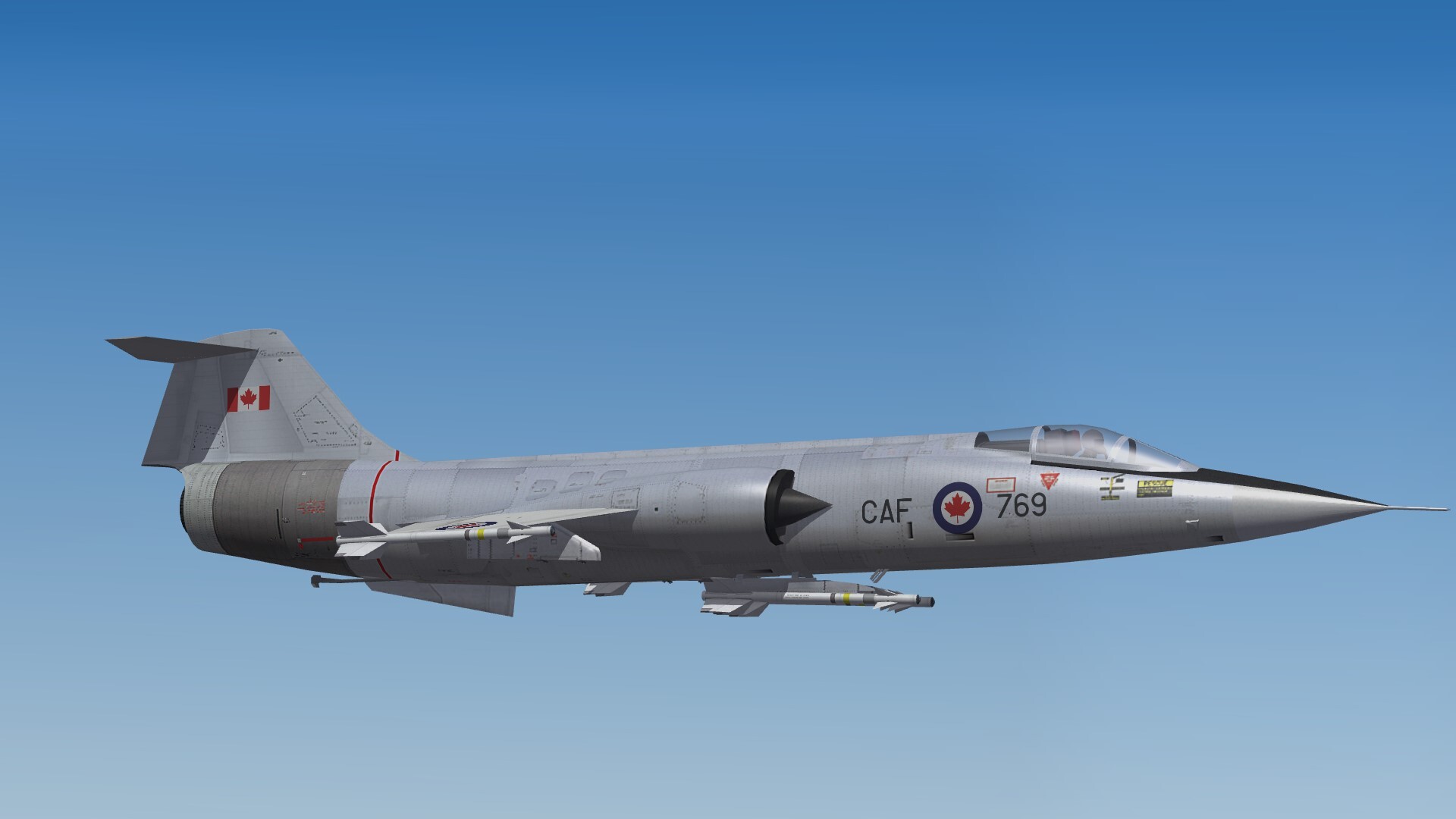
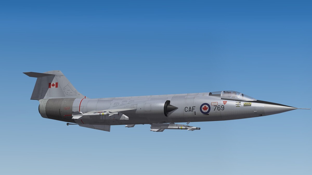
Oh Canada!
-
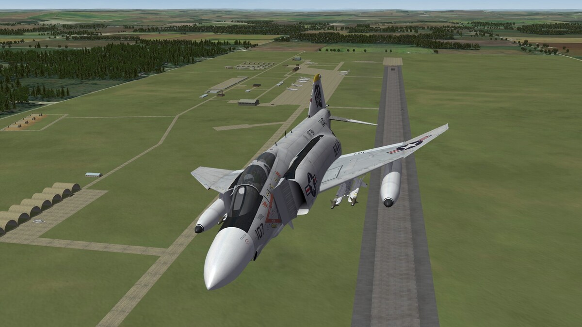
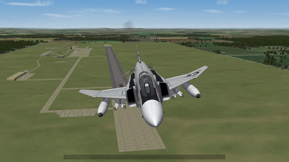
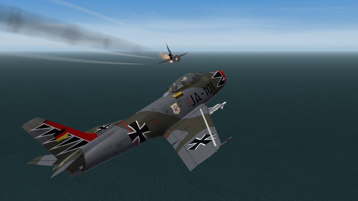
To the german Phantoms. The first german idea was to get a special version of the F-4E with only one pilot and the radar system of the F-104G. Then they decided, that the AIM-7 Sparrow had a bad performance during Vietnam War. Thatswhy they were not willing to pay money for it. So they bought the F-4F, nickname Poor Mans Aircraft. It was intended to be a gap filler till a single piloted fighter version of the MRCA Tornado would arrive. This Tornado version never came to live. So it was intended to wait till the Jäger 90 (EFA / Eurofighter) would enter the service. This was awaited for the early 1990th. When the EFA program was delayed in the 1980th it was decided to make the F-4 ICE upgrade.
-
 That the guns of the ships shoot to short has to do, that the game engine cant handle indirect fire. So a target can only be hit in the distance of direct fire. The same problem is with tanks of artillery in game. You cant change it.
 -
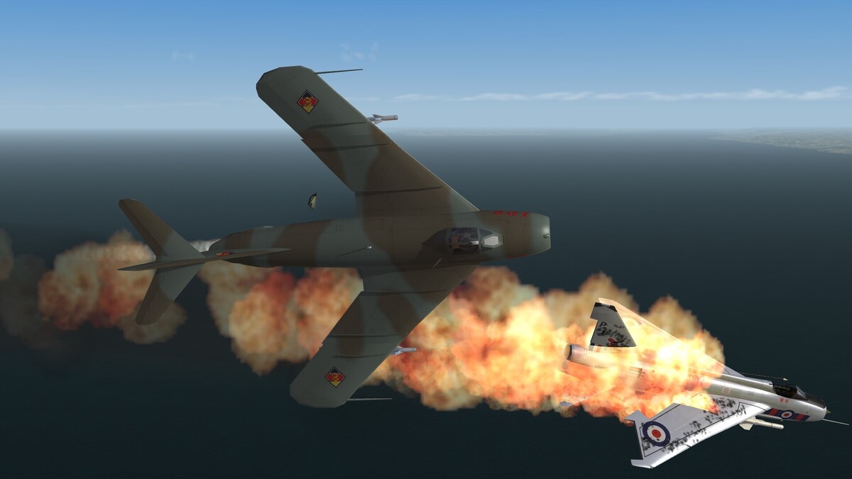
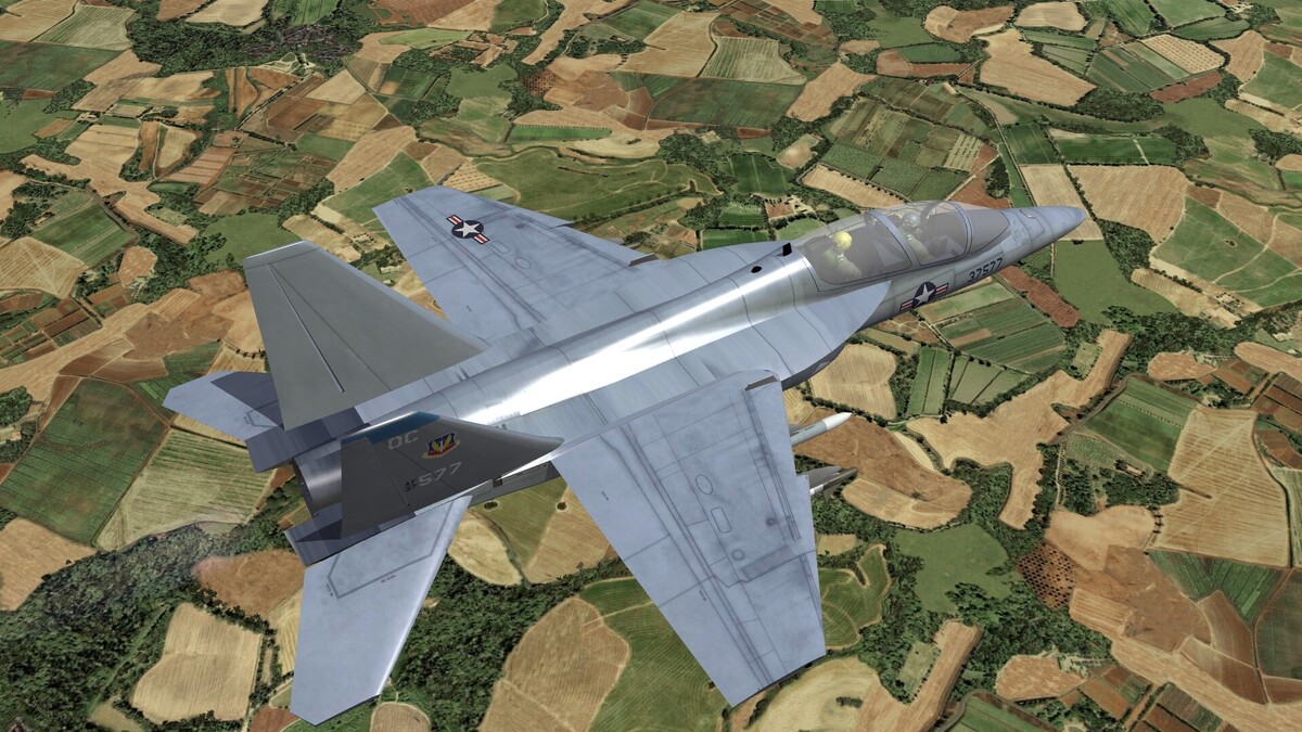
The Luftwaffe always took the wrong plane. The F-15A would have been an excellent choice. But i doubt, that they would have integrated air to ground weapons. For mud moving they had the Tornado. So a german F-15A would have followed the rule "no pound for air to ground". And stupid as the german military bureaucracy was, i think they would have removed the Sparrows.
-
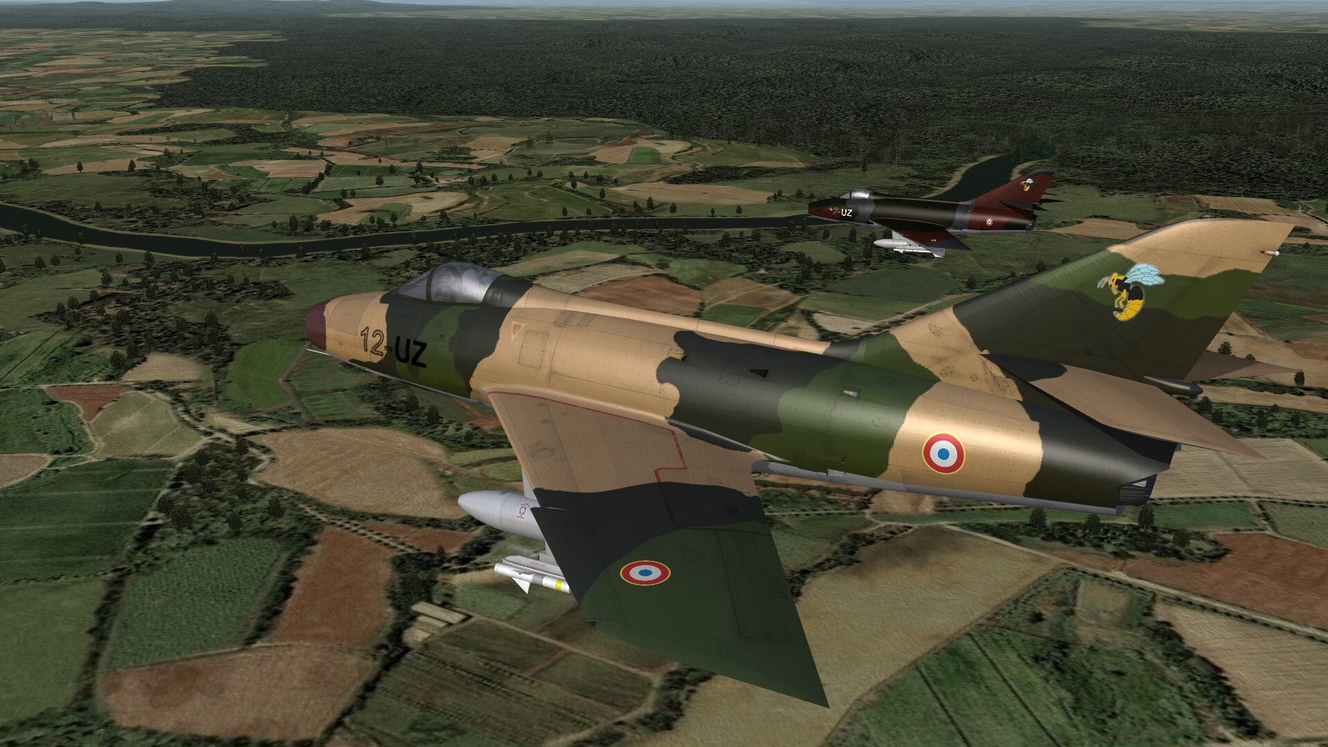
Follow the rules. This is a Screenshot thread. You have to post a screenshot here, even if you only want to make a comment. And you may post only on sunday and only screenshots of "Super" planes. Mandatory screenshot: Super Mystere B2 in the 1970th

-
They use Mi-24 combat helicopters for drone hunting too. But the Russians answered with arming some Gerbera drones with a single R-60 air to air missile. Some days ago the Ukrainians lost one Mi-24 against such an armed drone.
- 1 reply
-
- 1
-

-
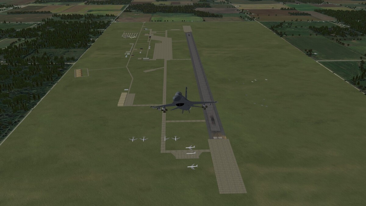
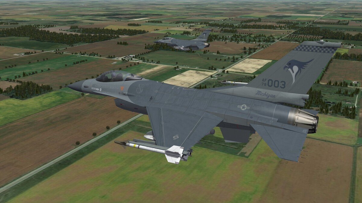
Volk Field ANG Base parked aircrafts placed.
-
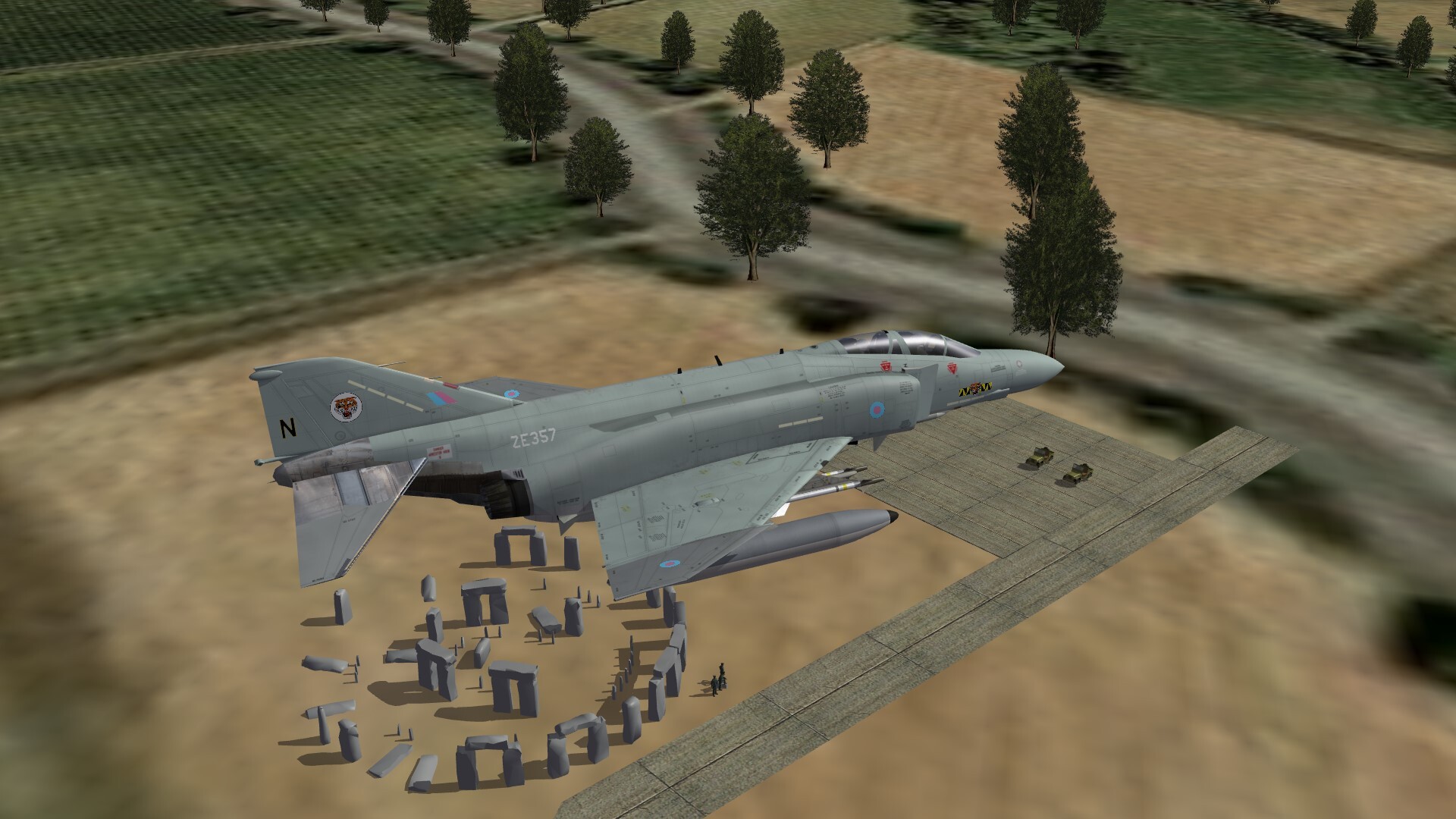
Stonehenge

-
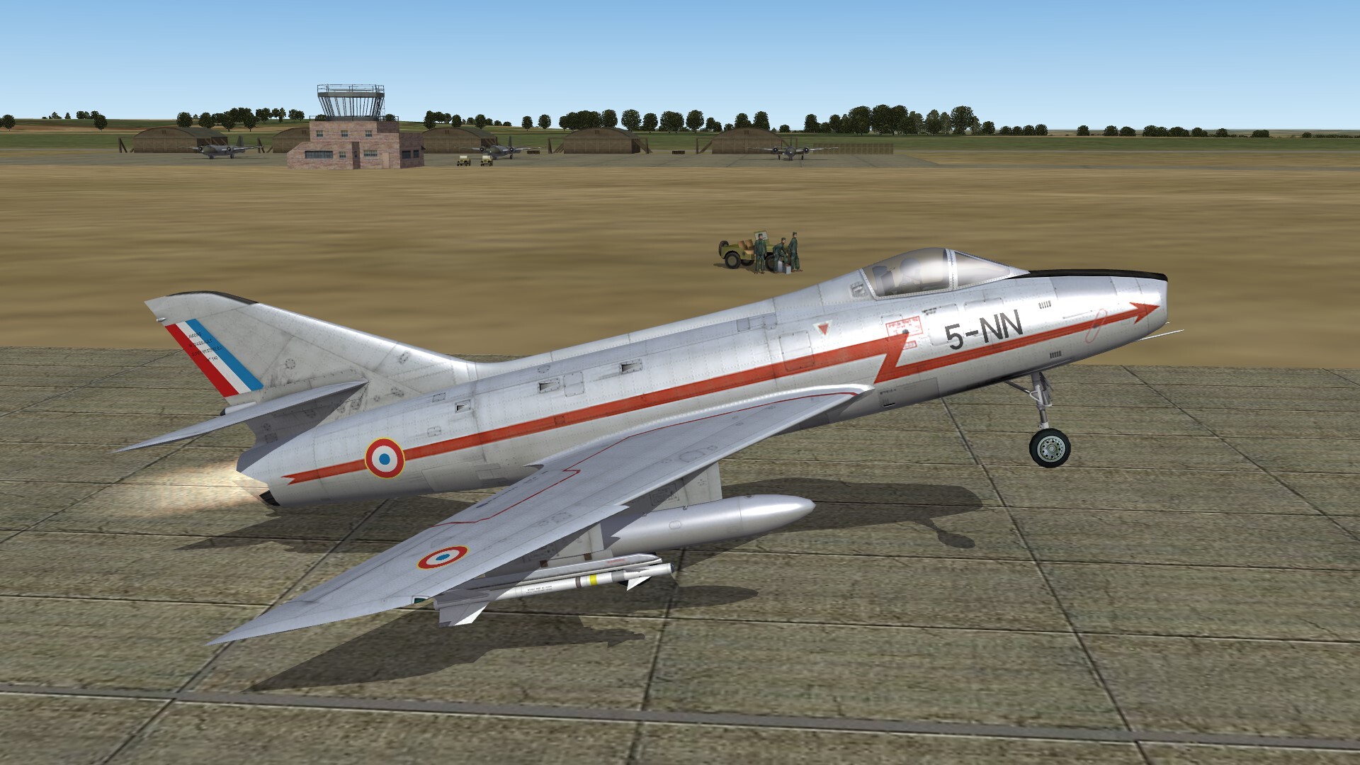
Super Mystere takes off while plane spotters are watching.

-
-
Brexit


-
You should write that your Nations pack work best with a separate installation for Feuerland / Tierra del Fuego terrain. In a merged installation all stock squadrons of the game (american, british, french etc) will be overwritten by argentian and chilean squadrons.
-
It has to do with the poly's and vertiges of an object. As more complex an object is, as more poly's and vertiges it has. It seems to be, that there is a limit in the gameengine how many vertiges and poly's can be displayed as TOD object per tile. If you come over this limit the game engine decides to ignore all TOD's over this limit. I have tried to use a simple car as TOD object, but the gameengine simply ignored it. No luck.
-
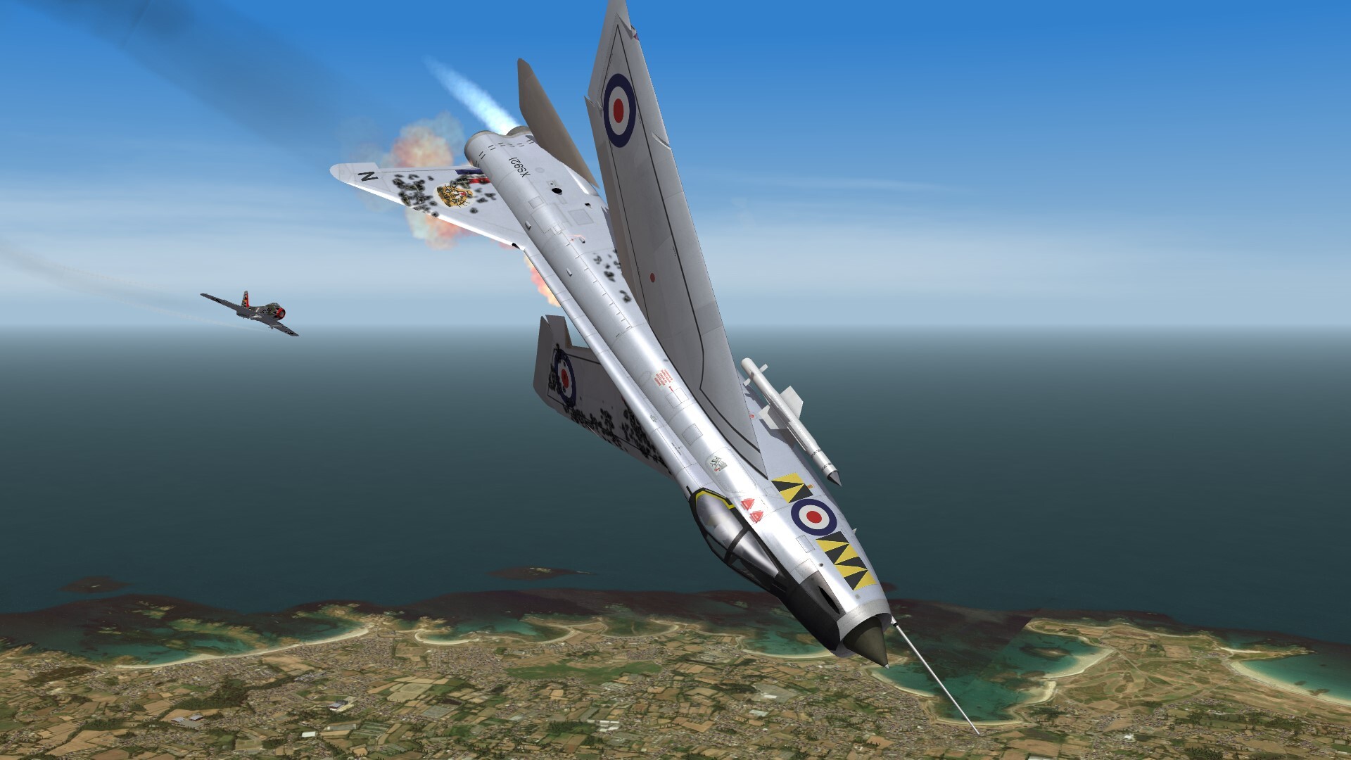
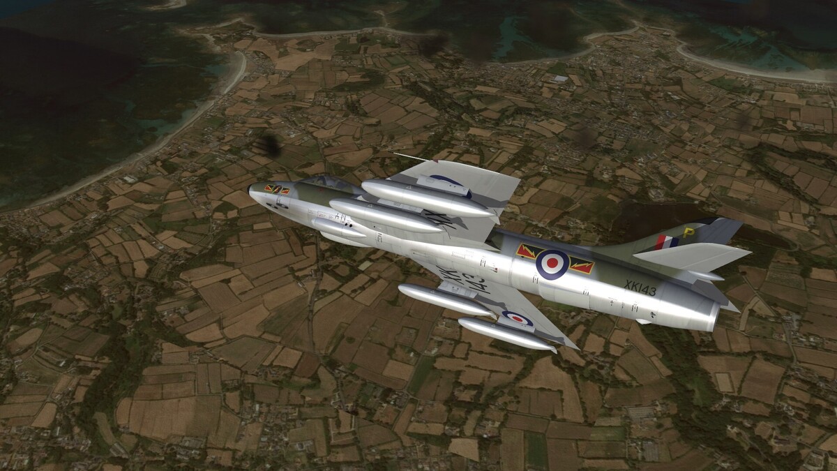
Hunter FGA.9 over Guernsey.
-
The question came up, whether i could place TOD cars on the roads of the tiles of Michigan terrain. Theoretically it is possible, but there is a limited number of TOD objects for a tile. And as more accurate an TOD object is, as less objects you can place. Or better said, the game engine will show only a limited number of TOD objects, regardless how many i place on a tile. Thats why my answer: No i will not place TOD cars on the tiles.
-
Iranian TU-154M with RF-5A front fuselage on the Vertical tail
Gepard replied to ravenclaw_007's topic in The Pub
Interesting way to test an ejection seat. The Tu-154 is the fastest airliner today. So they can test the ejection seat at real flight speeds. Innovative approach. -
T-7A Red Hawk
-
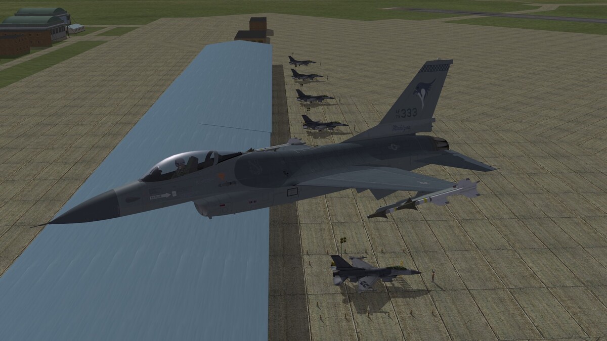
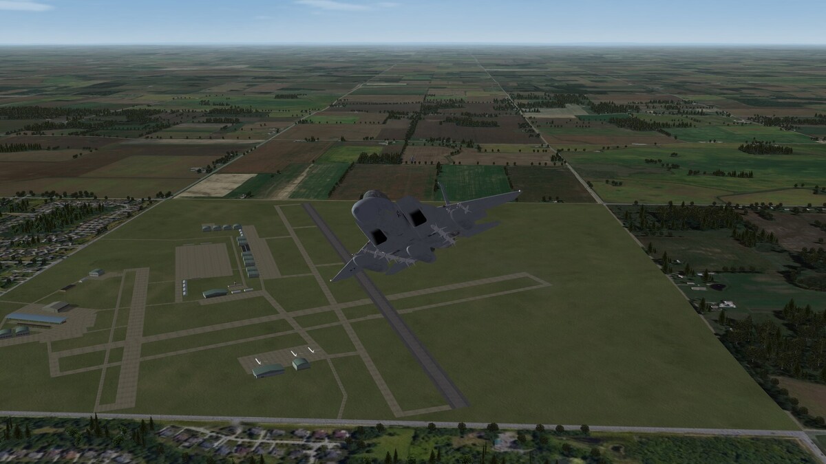
Volk Field Air National Guard Base, Wisconsin (WIP) Ignore the parked aircrafts. This will be corrected later.
-
Si quaeris peninsulam amoenam circaspice!
-
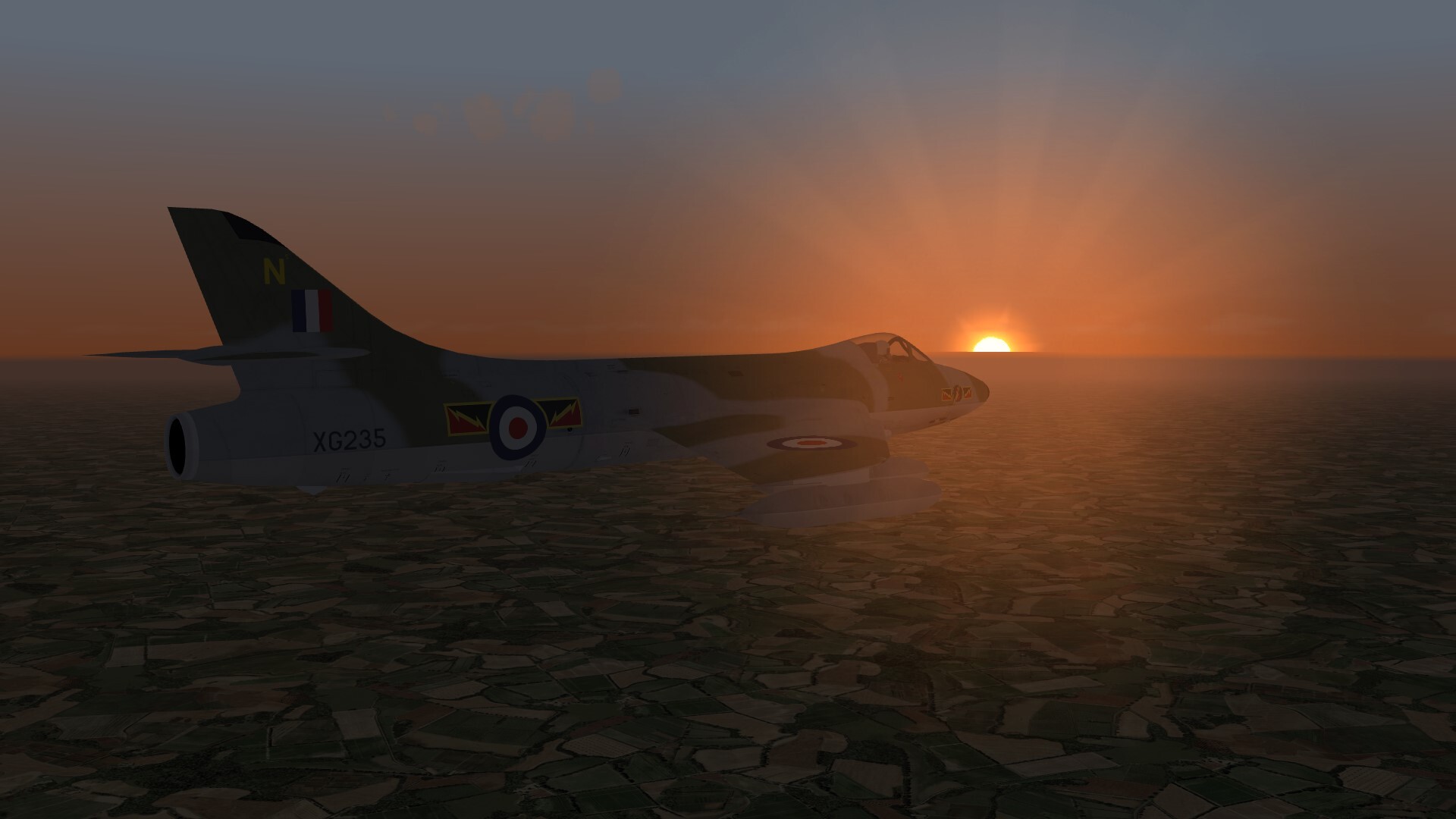
Dawn.

-
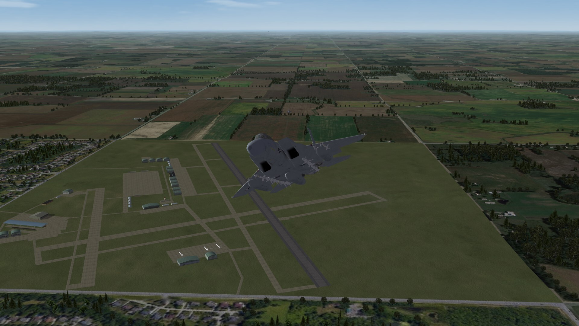
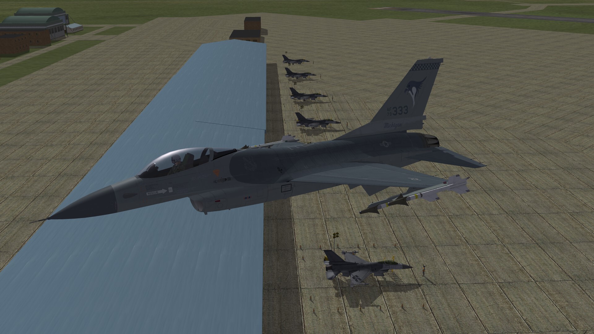
Checking the flightline.