
Wrench
-
Posts
27,840 -
Joined
-
Last visited
-
Days Won
159


About Wrench

Recent Profile Visitors
78,010 profile views


Wrench's Achievements
")


-
Good grief!! So many variants!! No wonder TK said 'fick it -- I'm just doing a Generic G model!!!" LOL
-
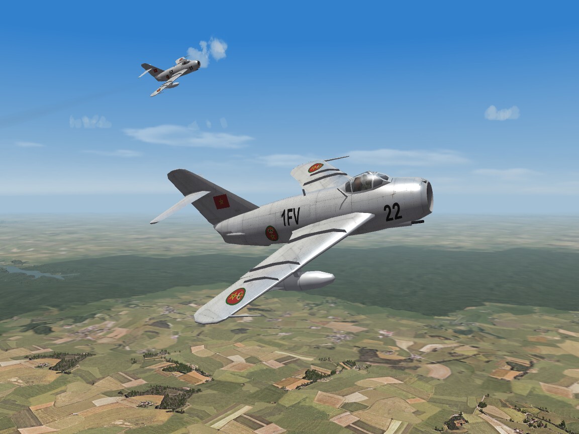
just a reminder -- we DO have a WW2 only screenshots thread. So, let's start posting the WW2 screenshot in there, shall we??? ========= required screenshot

-
SF2V Air and Ground war expansion help 2
Wrench replied to eldaridat22's topic in General Discussion
Not reccommened to the fly the bombers ... they cause all sorts of issues with the game engine itself. Just ask the (few remaining) WW2 players. Not only will you NOT get the proper formations, there's no bombsight (52s used radar only - I had a cousin who's job that wes), and giving orders to wingmates will crash the game. Leave as issued; it's always done for a reason -
CFS3 expansion Mediterranean Air War
Wrench replied to Winston DoRight's topic in Virtual Squadron Chat
Interacting with the community does NOT mean just posting a number in random threads all over the site. It means getting INVOLVED, not just adding to the noise level so one can obtain their downloads. -
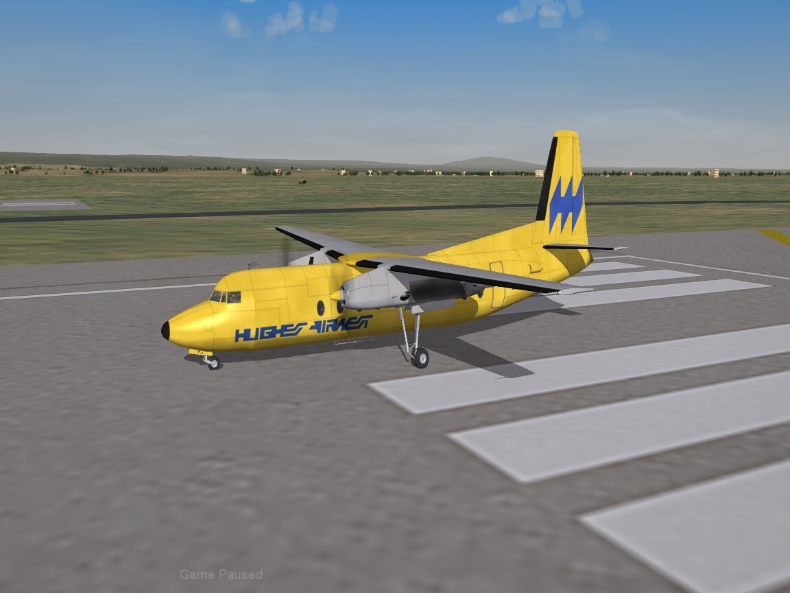
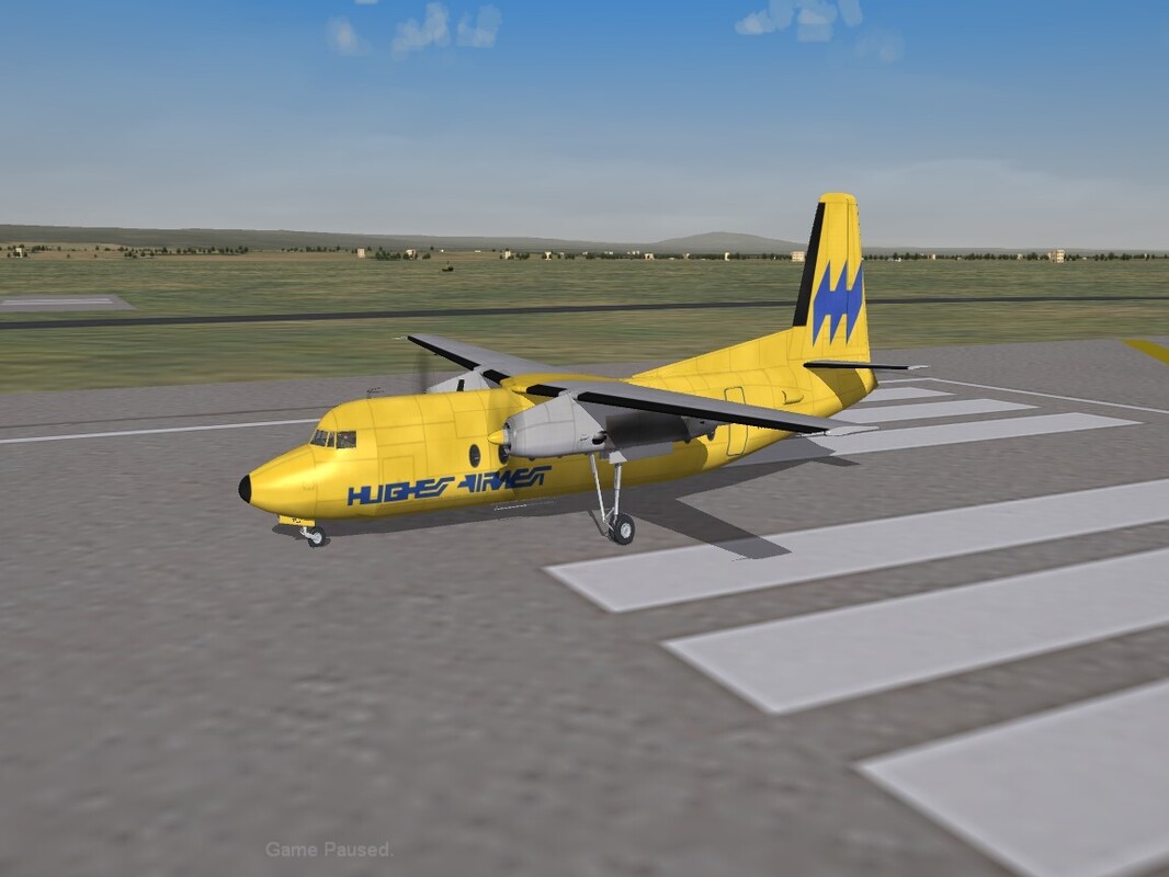
A very nice surprise dropped into my inbox the other day, from Nyghtfall. This apparently was one of Veltro's birds that never got finished. Nyghtfall has some really nice skins for it, and requested that I try and bring it home. His template is so good!! So, here you go, another nice airliner for Eye Candy (tm), and will be flyable. There are 5 skins right now, this is just an example.
-
I was gonna say that!!! hahahahaha
-
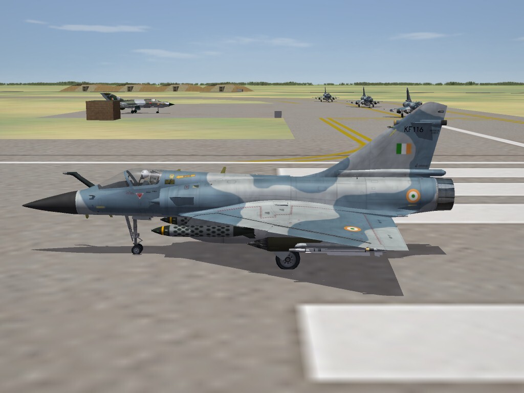
Indian Mirage 2000 (found in the archives!)
-
View File SF2 NAA RB-45C Tornado (SI) Package SF2 NAA RB-45C Tornado (SI) Package 3/23/2026 -For SF2 =ONLY= (Full/5 Merged Recommended) This is a 'stand in' package for the RB-45C "Tornado" photo-recon aircraft. I say stand in, as it (re)uses the solid nose version of the B-45C bomber (actually, the gun nosed 'what if' version). There are two skins included in this package: 323rd Strategic Recon Squadron, 91st SRW, USAF Special Duties Flight, Sculthorpe (RAF) The skins are in jpg format. All markings are decals, and decal randomization is TRUE. The USAF skin has the serial numbers for all 33 RB-45Cs produced, included those converted from B-45Cs. The RAF skin carries NO marking other than national insignias, although the number list DOES show the 4 historical airframes used by the RAF. Pilot figures, the 'fake pilot' wing tip tanks, the 'fake pilot' himself, new Hangar & Loading Screens are all included. The avionics ini has had a "recon camera" added which uses the radar screen. The in-cockpit radar mode display has also been modified to show "Recon Camera" when selected When in game, on the Aircraft selection drop-down, you'll see . . . RB-45C Tornado (SI-V2K) This lets you know it's a 'stand in' by Veltro2k. I don't believe there's any other Recon versions (at least not yet), but I like to be safe and de-conflict mods from each other. As is always recommended, unzip to a temp folder or your desktop to give easy access to the rest of this readme for it's install instructions. PLEASE read them, before installing!!! Please read the Notes section for any other useless bits of information, and full credits. You should pay special attention to the "Flying Recon Missions CORRECTLY" in the Notes below. Please also take note of changes in the Standard Disclaimer in the "Legal BS" section at the bottom. Happy Landings! Wrench Kevin Stein Submitter Wrench Submitted 03/27/2026 Category Other
-
- 1
-

-

Version 1.0.0
24 downloads
SF2 NAA RB-45C Tornado (SI) Package 3/23/2026 -For SF2 =ONLY= (Full/5 Merged Recommended) This is a 'stand in' package for the RB-45C "Tornado" photo-recon aircraft. I say stand in, as it (re)uses the solid nose version of the B-45C bomber (actually, the gun nosed 'what if' version). There are two skins included in this package: 323rd Strategic Recon Squadron, 91st SRW, USAF Special Duties Flight, Sculthorpe (RAF) The skins are in jpg format. All markings are decals, and decal randomization is TRUE. The USAF skin has the serial numbers for all 33 RB-45Cs produced, included those converted from B-45Cs. The RAF skin carries NO marking other than national insignias, although the number list DOES show the 4 historical airframes used by the RAF. Pilot figures, the 'fake pilot' wing tip tanks, the 'fake pilot' himself, new Hangar & Loading Screens are all included. The avionics ini has had a "recon camera" added which uses the radar screen. The in-cockpit radar mode display has also been modified to show "Recon Camera" when selected When in game, on the Aircraft selection drop-down, you'll see . . . RB-45C Tornado (SI-V2K) This lets you know it's a 'stand in' by Veltro2k. I don't believe there's any other Recon versions (at least not yet), but I like to be safe and de-conflict mods from each other. As is always recommended, unzip to a temp folder or your desktop to give easy access to the rest of this readme for it's install instructions. PLEASE read them, before installing!!! Please read the Notes section for any other useless bits of information, and full credits. You should pay special attention to the "Flying Recon Missions CORRECTLY" in the Notes below. Please also take note of changes in the Standard Disclaimer in the "Legal BS" section at the bottom. Happy Landings! Wrench Kevin Stein- 1 review
-
- 2
-
-
Just out of curiosity, was this supposed to be the plane that Moraine parasol was 'standing in' for at the end of "Blue Max"???
-
moved to correct Forum
-
moved to correct Forum
-
there are several here at Santa Monica AP as well. They always wind up sitting on their nose. The gear must 'fold up' for parking or whatever!!
-
Don't bother or worry about it !!! It'll be easier to keep track of things this way! Sorry that I don't have an actual answer to your campaign question -- hopefully someone more knowledgeable than me on campaigns will pop in.
-
McDonnell RF-4X Phantom II UPDATED w download
Wrench replied to dtmdragon's topic in Sci-Fi/Anime/What If Forum
Indeed!!!