PureBlue
-
Posts
1,437 -
Joined
-
Last visited
-
Days Won
5
Content Type
Profiles
Forums
Gallery
Downloads
Store
Everything posted by PureBlue
-
Yes it's great, thanks rebel!
-
Do the High-G Barrel Roll in your Thud :yes:
-
I just tested, it worked as advertised w/ WOE 2008 patch.
-
Yes Polak's objects are great, I went up and down that thread looking for the link but no joy. No response from Polak yet at Simhq, perhaps the file link elluded me somehow
-
it will be dangerous indeed trying to catch that douglas hu-6d
-
Final countdown eh? Just watched it the other day, it's got great footage of all kinds of different navy birds! I strongly recommend this old flick.
-
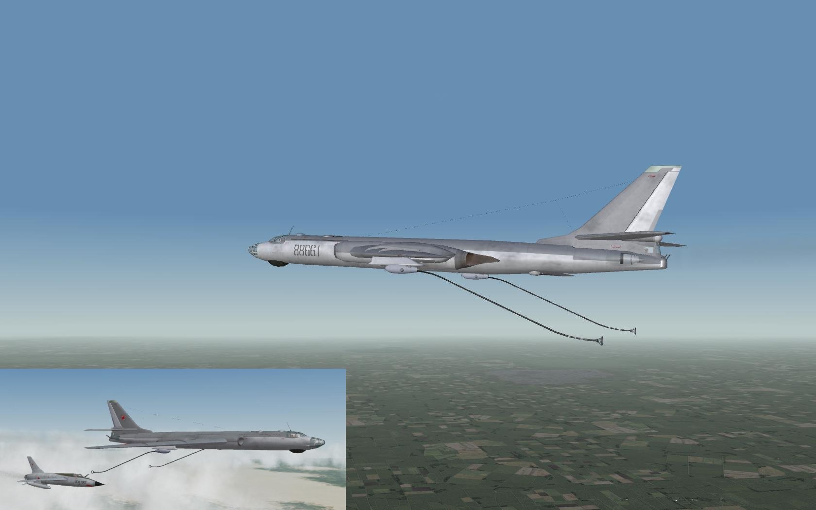
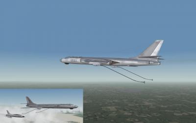
PTB-800 Drop Tank & SPS-141 ECM for Su-22/Su17
PureBlue replied to ravenclaw_007's topic in File Announcements
isnt this the most handsome ecm pod in town or what? thanks raven! -
Thanks for this beautiful upgrade. Blackbird: Tried it in woe, no problems. I had to read the instructions twice to get it right.
-
Magnificient work! with the explosion effects, my computer is smoking trying to keep up!
-
Save All (becareful the city list and texture list is not saved with this!) So if you change anything in there save them exculisively. And backup the tfd,hfd files quite often, TE doesnt have undo. For the water thing, did you autotexture and it didnt tile any sea textures? which texturelist are you using, it should have some textures defined as water. I dont think the sea level does anything, not sure.
-
I think both veltro2k and 101fs were working on a Mig-31. Both look great, 101fs just attached his work on a message here: http://forum.combatace.com/index.php?showt...27321&st=80 (basic fm, etc..) Veltro's is still under dev. i think.
-
i'm sure this campaign is going to be fun, and great job with the blog Albert
-
Sundowner you are my hero!
-
Wow Spain decimated the Ruskies..! and with great football, it was a joy to watch..
-
Underestimate your opponent and pay the price.. Lets forget this and see who is the next finalist, I hope both sides play open football, it's bound to be a very exciting meeting..
-
Hey everybody saw who played and who watched, the mighty German team was paralyzed most of the game. Well the ball is round they say, yesterday we win, today its you. Though, I'm sure you started seeing nightmares after Semih scored the equalizer at the 85th. No way, whats going on !! Good luck anyways..
-
Hey don't dwell on it that much I hear the defeat had pyschological effects in Croatia.. Germany match was interesting for us. I think it made us feel the same things that Checks and Croatians felt.. Oh well, our team made their mark in the tournament, they proved that you cant ever give up. Although I must say, some people just were very worried for Turkey to win the cup, political reasons... Anyway my bet is on the Russians, today and in the final.
-
Great work, thank you very much!
-
Mustang Tutorial #11: Installing TW Plug-In
PureBlue replied to DWCAce's topic in File Announcements
gspot utility gives me: Video: CRAM 1152x864 5.00fps 930Kbps [Camtasia Recorder_capturefe9389f.avi Video #1 0] Audio: PCM 11025Hz stereo 176Kbps [Microsoft Waveform: Camtasia Recorder_capturefe938e5.wav 1] -
I thought Holland would go all the way too, but the Russians played magnificient yesterday.. Spain is always the favorites at the beginning but they never make it, one of the most unlucky teams of the cup history. And Italy wins even when they suck :) gonna be a good one
-
Another unbelievable comeback!!! Go Turks!! I admit the immense amount of luck and fortune involved, but it feels like some devine intervention happens and right at the last minutes everything changes in our way...
-
hard to decide from screenshots, but 2 seems it could look repetitive , #1 feels more variable.
-
What's the best way to start modding and how?
PureBlue replied to Kobuspoes's topic in Mods/Skinning Discussion
McFly's great tutorials.. http://www.bobsyouruncle.net/StrikeFighter3dModeling.htm -
There are a lot of great views in this geogprahy. It's fun just to cruise around.. But this kind of sucks nothing terrain wise is rendered up over the clouds. and then you crash into it.. did you guys know of this bug? edit: on second thought, perhaps i have something missing in my setup.!? hmm

-
Well, I created a new project and reimported the DEM files. Then exported the height map with new ini settings and imported it ontop of the current project. Almost all the airfields need to be re-leveled (I dont use the function in TE, doing it manually), the mountain top missile sites need re-locating, etc. etc. Basically back to square 1 But the transformation was huge, the sight of huge towering mountain peaks are awesome.. Although I must say, with a HeighScale of 20, you wont have the low range of height steps. Some of the lower hills seem to be much smoother and less intimitading.. Also, think twice about using the TE Smooth Height function, it kills the sharp countours of mountains and flattens volcanic lake beds, and so on.. the terrain looks much better in rough form IMHO.