Gepard
-
Posts
7,042 -
Joined
-
Last visited
-
Days Won
358
Content Type
Profiles
Forums
Gallery
Downloads
Store
Everything posted by Gepard
-
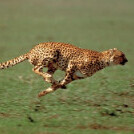
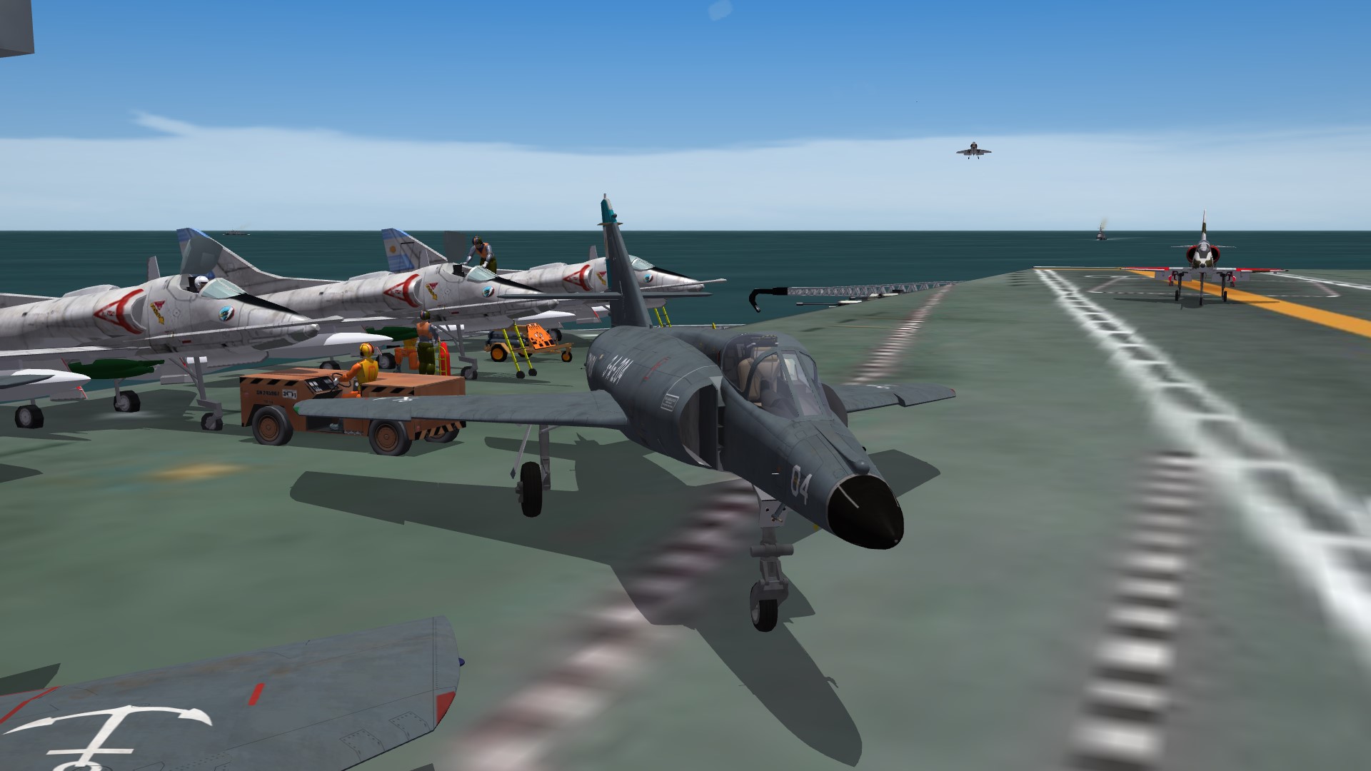
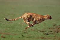
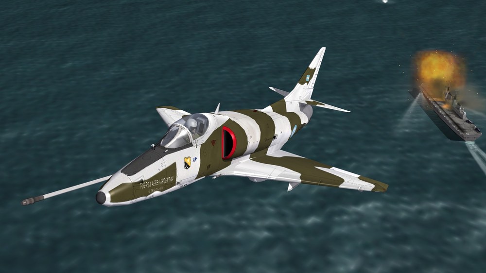
Super Etendard aboard carrier 25de Mayo.
-
First i made riverforks by using rivermouth tiles, but the result was not satisfying. There were blue spots in brown rivers. Not so good. Thatwhy i made a new tile for riverforks. So it looks in game:


-
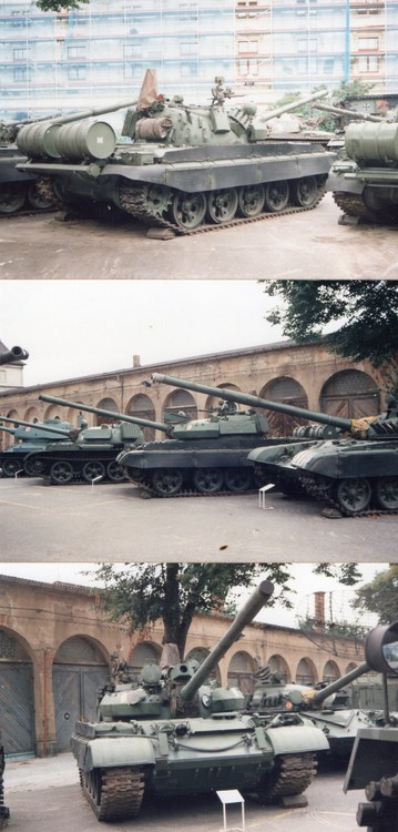
In the Military Museum in Dresden one T-55AM-2 was to seen. The side panels were made by rubber with textile inlays, like it is used by a conveyer belt. But it is much thicker. IIRC 2 or 3 cm or so. Steel inlays were not to seen. And of course you can spray paint over it, but how long will this last? After a while parts of the paint will falling off. I will try to find a photo of the Dresden T-55AM-2 in my archive. EDIT: I found it: The "DK" letters at the fuel barrel is typical german, it stands for Dieselkraftstoff. BTW if you look to the front of the T-72M, which you see in the last picture, then you see the bars in the triangle on the bow. This bars are a fast indicator how thick the frontal armour of the T-72 is. The rule say: as more bars, as thinner the armour.
-
Nice job. Well done. One Remark. The side covers of the hull are black. They are made by thick rubber.
-
 Troll.
 -
As requested by our argentinian friends i moved the Tandil Airbase to the west. For game balance reasons i created a temporary airfield at the place of the former Tandil Airbase. So the new airfield looks in game:
-
-
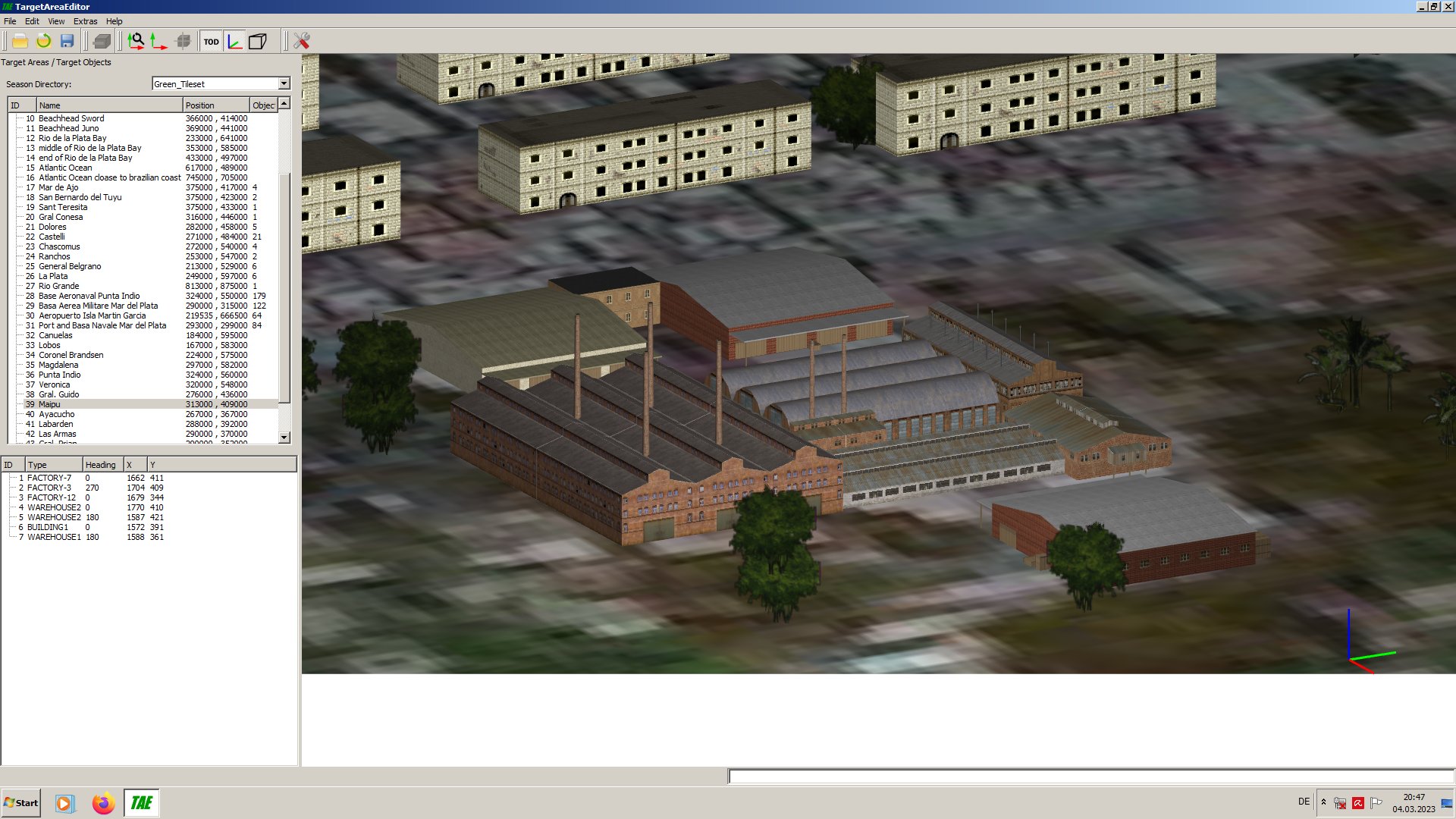
A factory in the town Maipu, Argentina, seen in the Editor tool.

- 908 replies
-
- 11
-

-
I'm not russian, you fool. Volunteer for the Ukrainian Army and see it with your own eyes instead trolling this forum. And if you dont like this package, then dont use it. Fact!
-
Russian propaganda? Me? The screenshots are taken from western sources you little troll. You are to lazy to search the net. Look at this ukrainian site you moron: https://mil.in.ua/en/articles/western-armored-vehicles-in-offensive-operation-in-the-kharkiv-region/ And if you dont believe what you see there, then you are a helpless idiot.
-
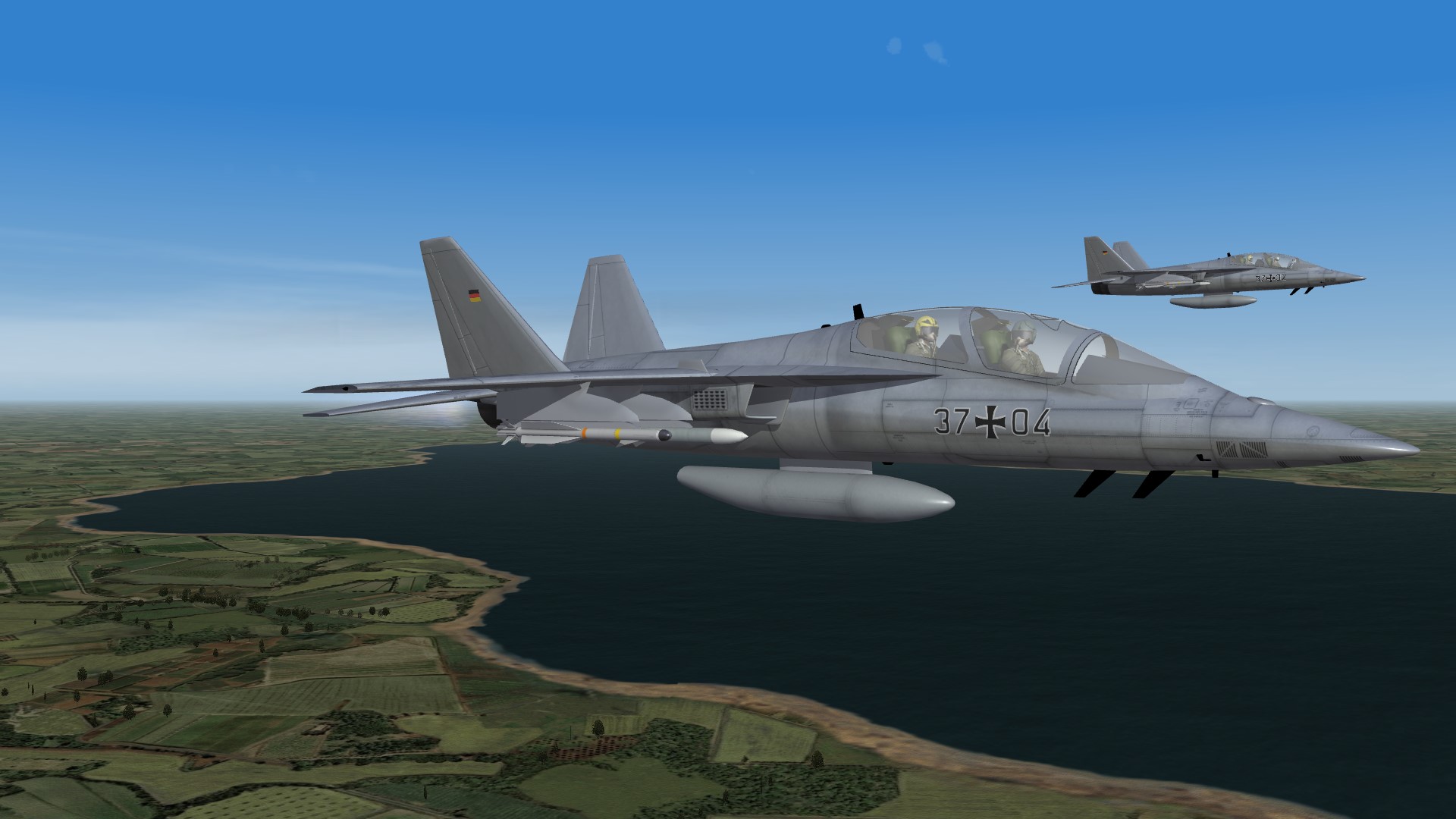
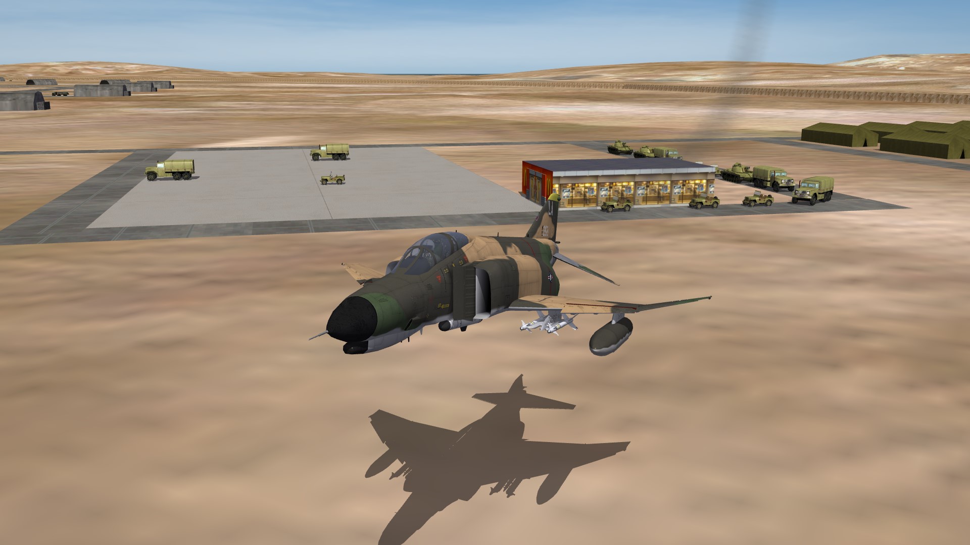
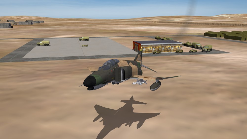
German F/T-7A Red Hawk

-
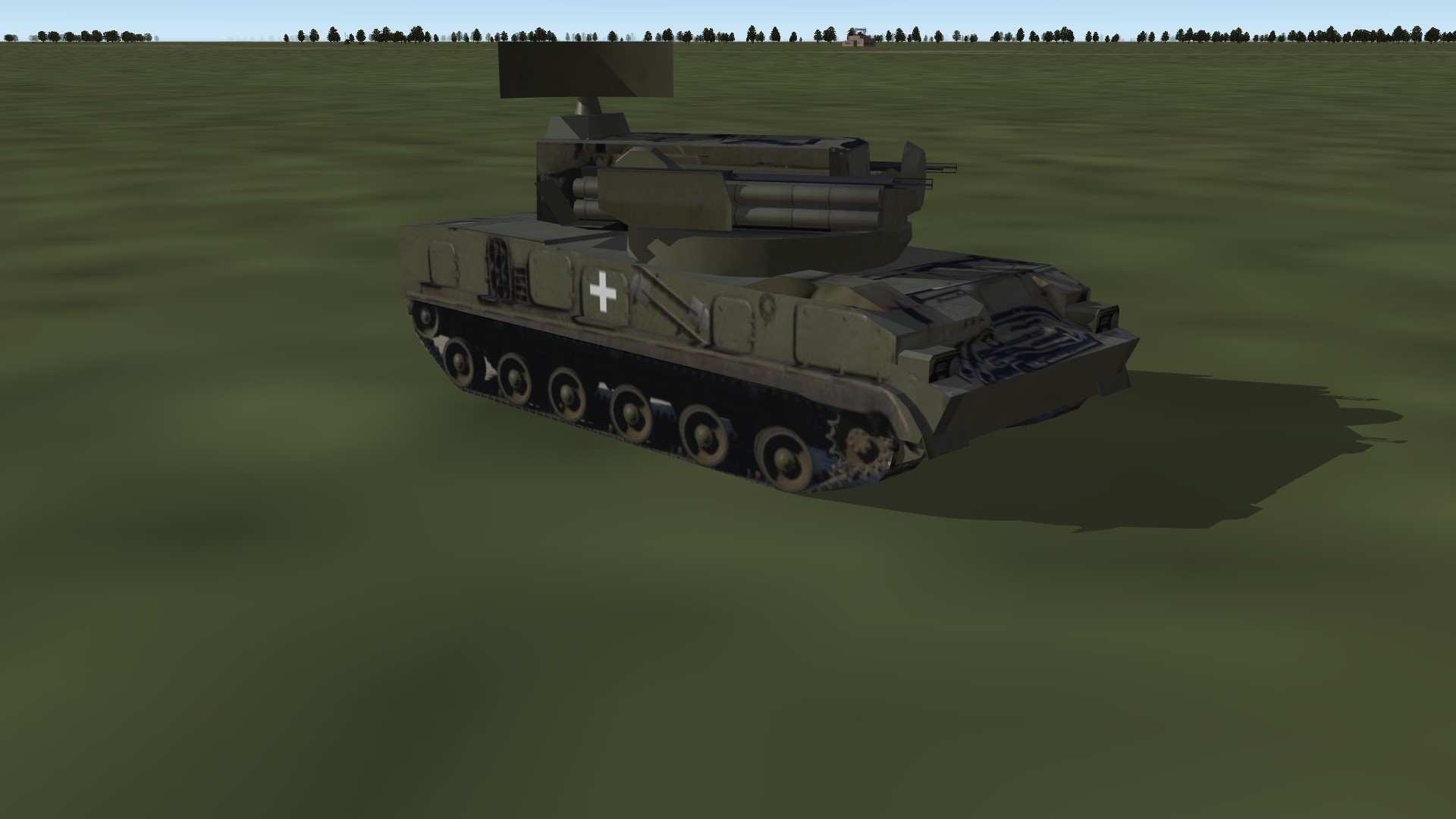
I think you are wrong. Since the ukrainian offensive against Cherson last fall the Ukrainians use the white cross, which is btw the same insignia used by the Wehrmacht in 1939 in the war against Poland. In the last weeks some ukrainian tanks appear with the Balkenkreuz. If you dont believe me, then do a internet search with the keywords "Ukraine" "Tanks" "Cross".
-
Kaboom! To be honest, at low altitudes the watertiles are looking not very good.
-
I must rework the river mouth, because it does not really fit to the other coastal tiles. So it looks now:
-
We had the stolen reverse engineered version in East Germany.
-
When i watching a video about east german Tarantul class corvettes i learned, that theses ships had a electronic warfare suit and chaff flare dispensers. I know, that other ships in east and west had had similar systems. Is it possible to add such systems to a SF2 world ship? I have tried it, but i had failed.
-
-
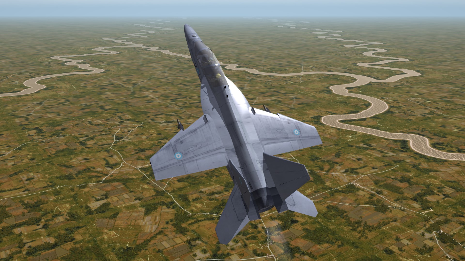
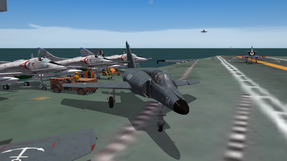
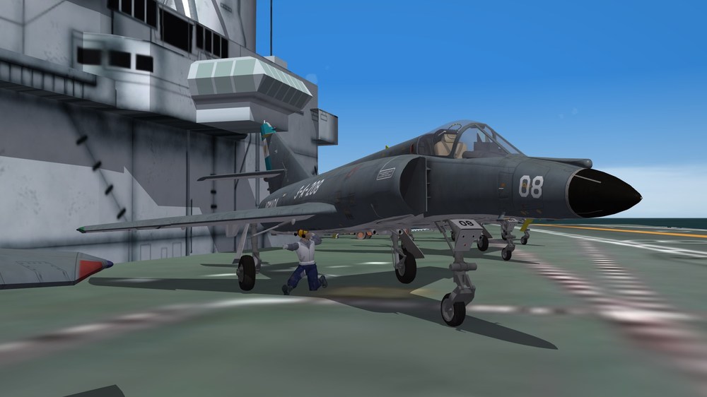
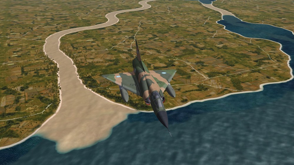
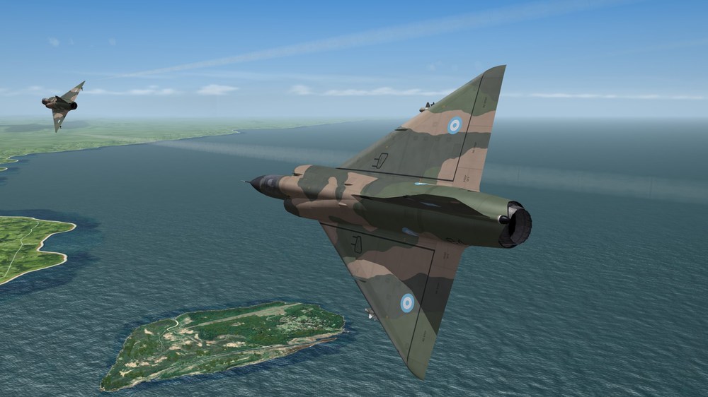
I was not happy with the Mirage IIIEBR from the download, because it is a EBR-2 with canards. I wanted one without canards. So i took the Mirage5SDE, from TKs DLC pack 28, which looks like a Mirage IIIE, gave it the blue stock french Mirage IIIC skin (okay i modded it a little bit), made some decals magic and there it is: Mirage IIIEBR close to the look of 1982 (I know, they had not had the name FAB on the fuselage, but with it it looks much cooler.) If you meet a argentinian Mirage IIIEA in the air you have a plane and weapons of the same performance. Then decide the skill of the pilot.
- 908 replies
-
- 12
-
-
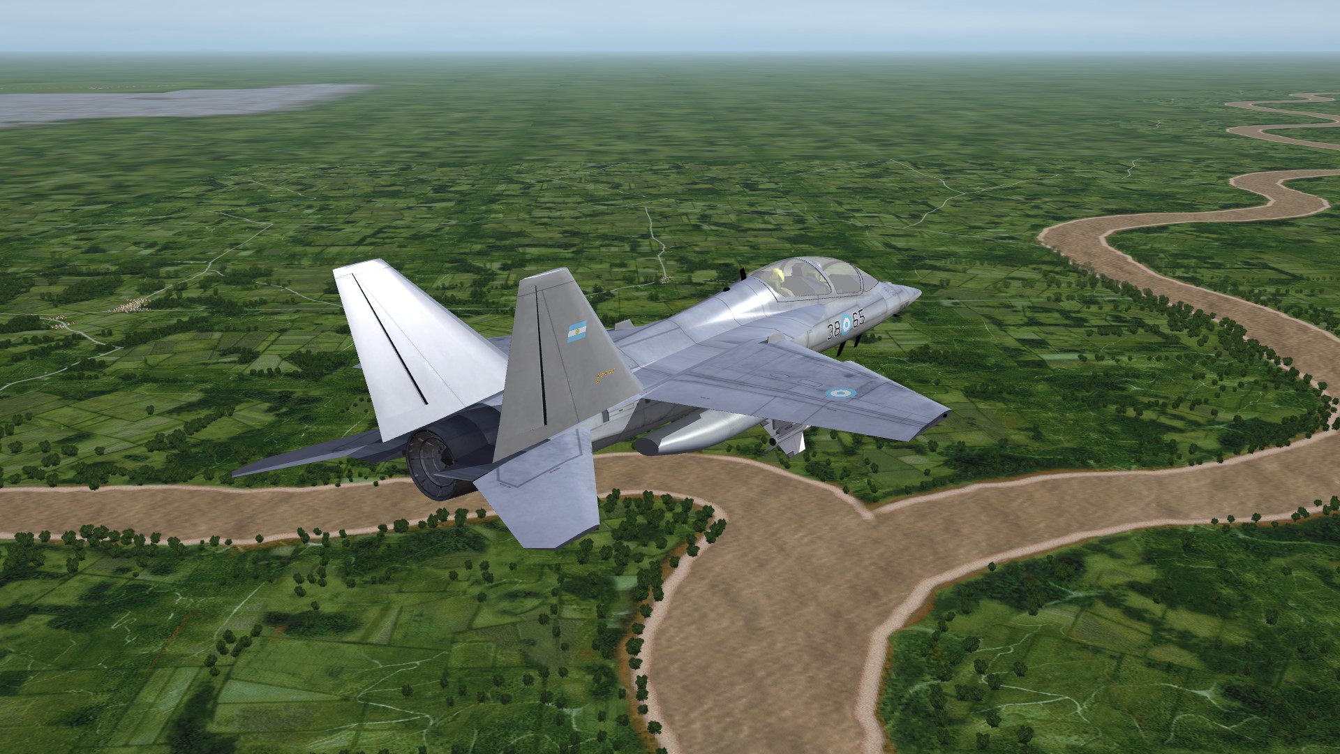
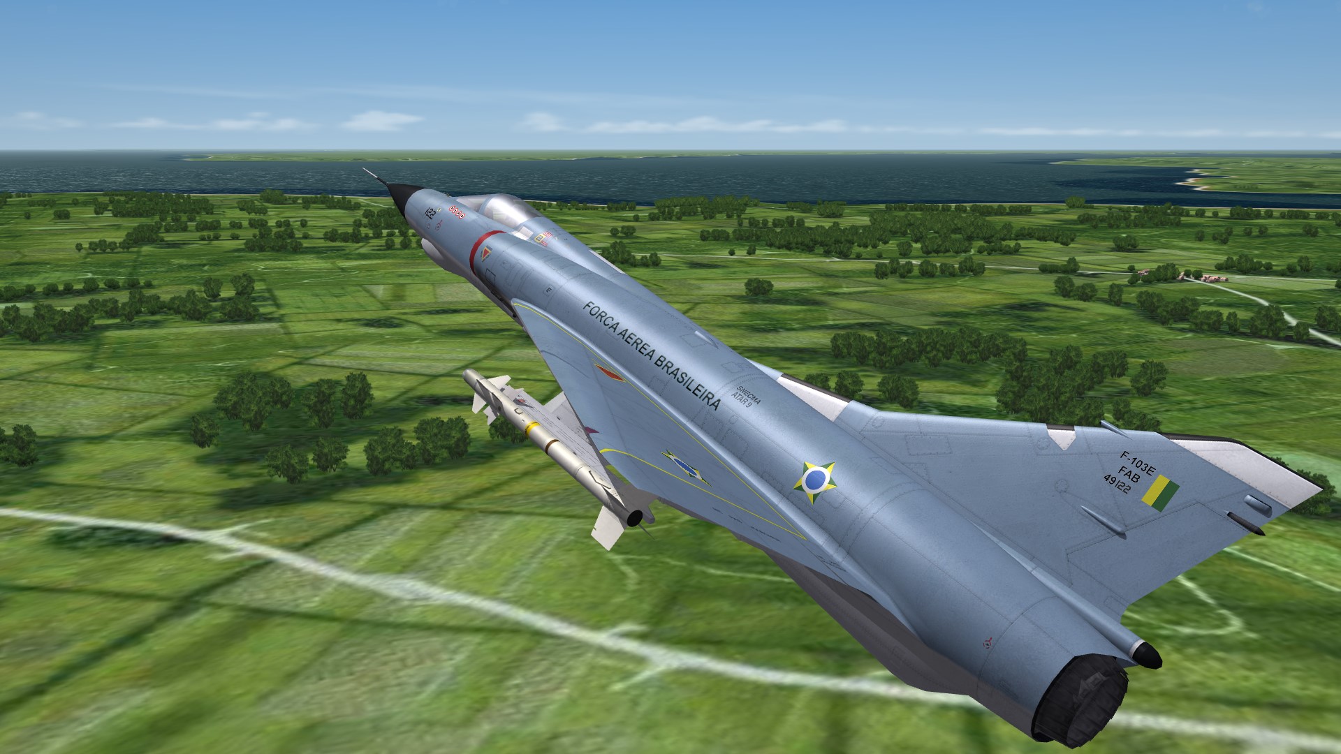
Mirage IIIEA, over Isla Martin Garcia, Argentina.
-
If i have understood it correctly, then airbrakes in reality have no blowback speed. When they are released, then they are released. But iI could imagine, that there is a speed, when the force of the airstream is to strong, that an airbrake can nor released. For a dragchute it is possible, that it is tore off or ragged off when the airspeed is to high. And than the drag of the dragchute is 0.
-
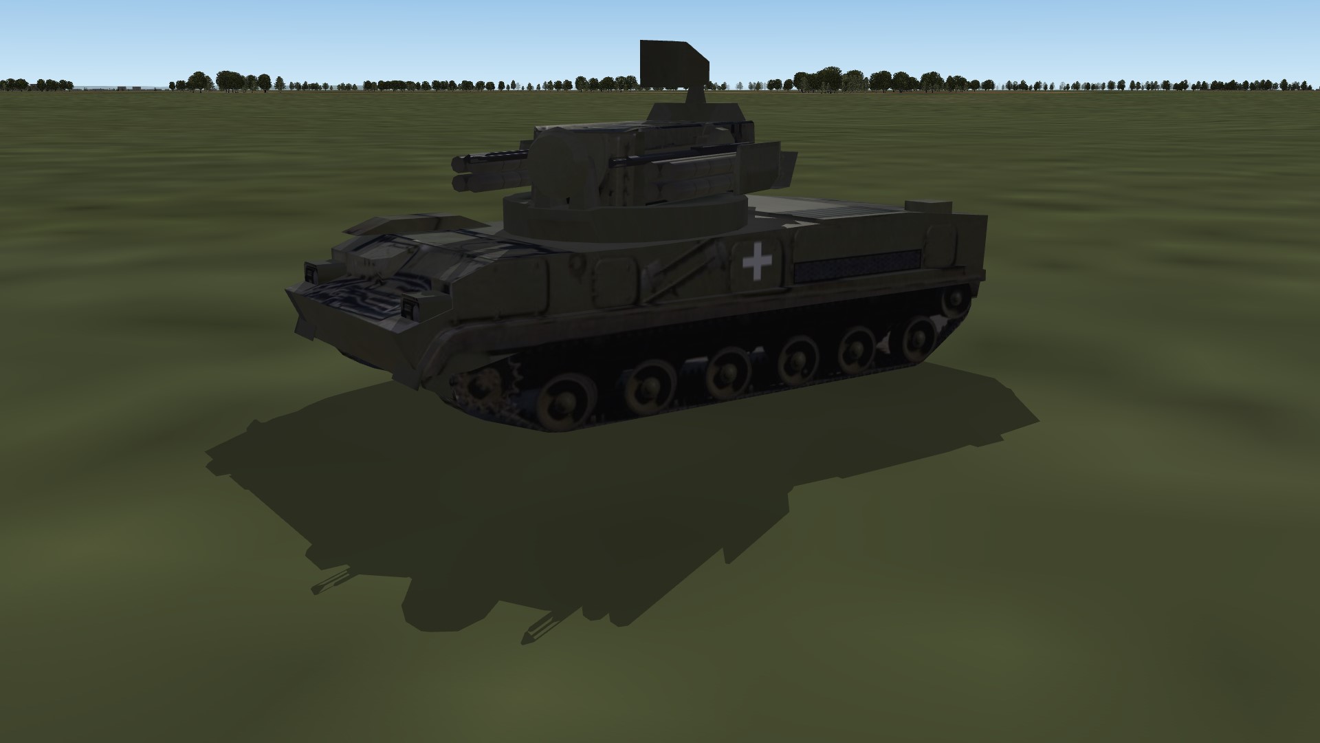
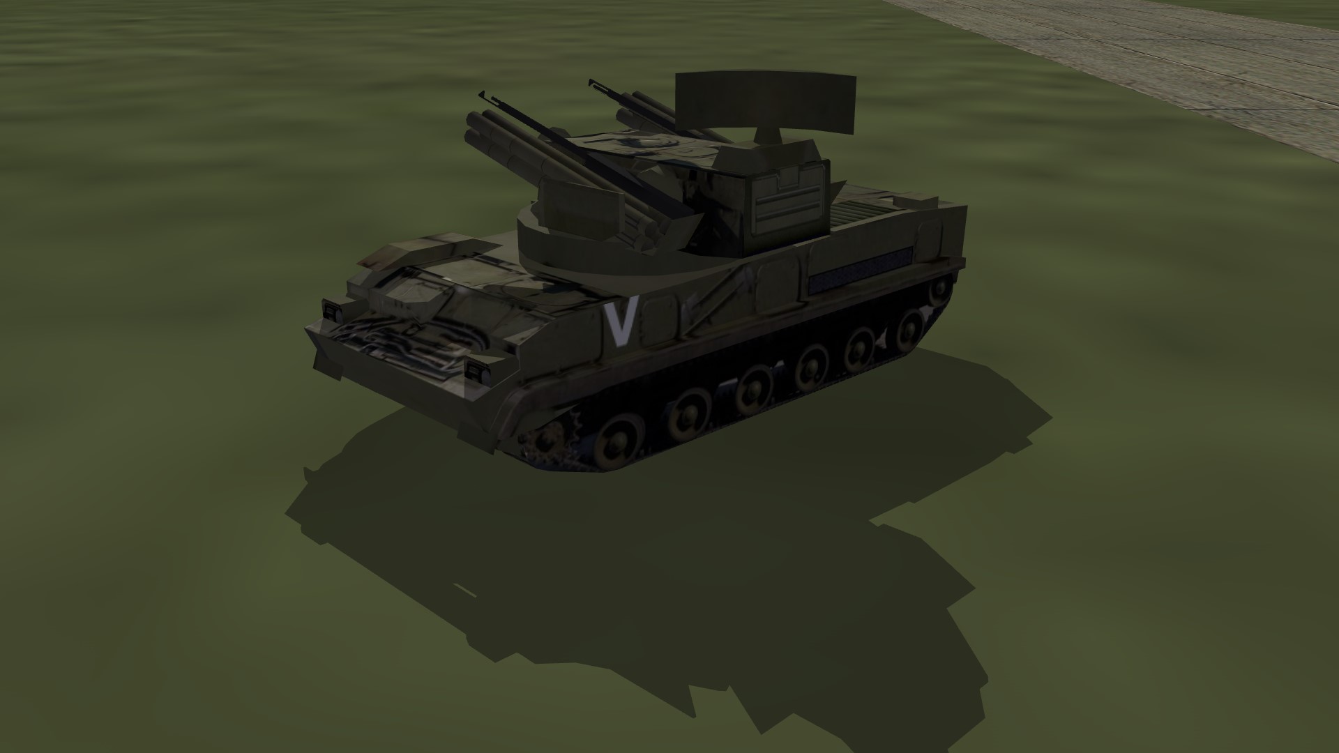
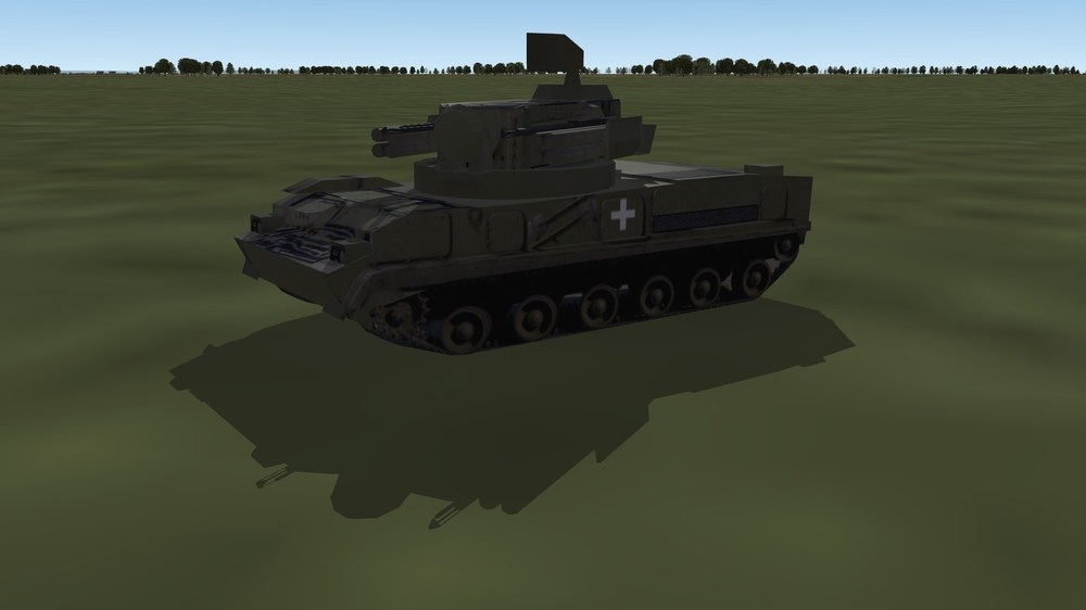
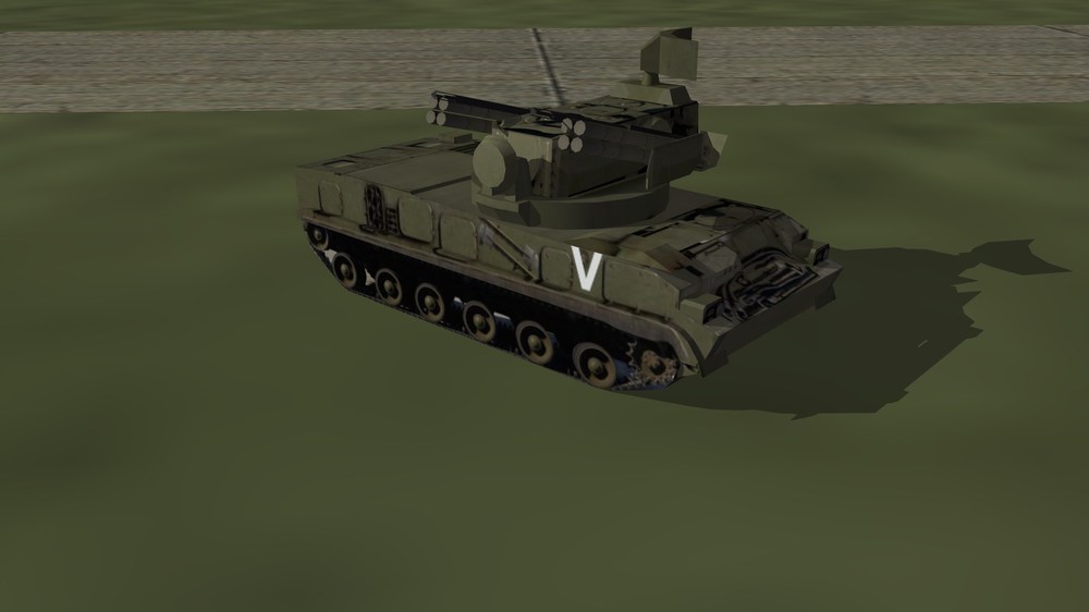
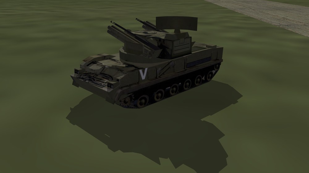
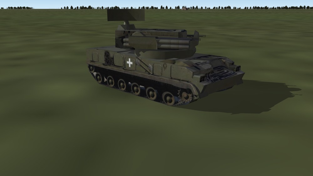
Tunguska Flak Russia: Ukraine Unfortunatly it does not work to put decals on Flak. So i had to paint the + and V directly on the skin.
-
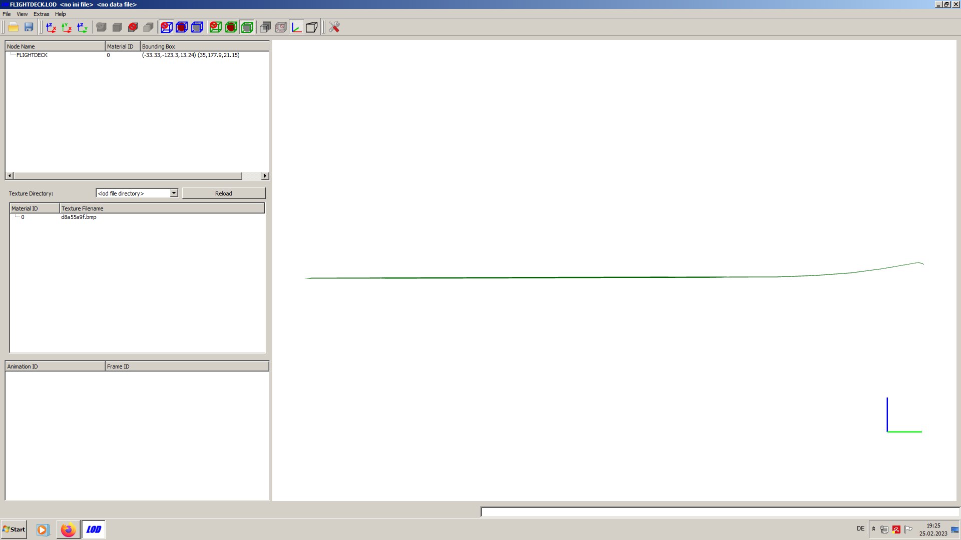
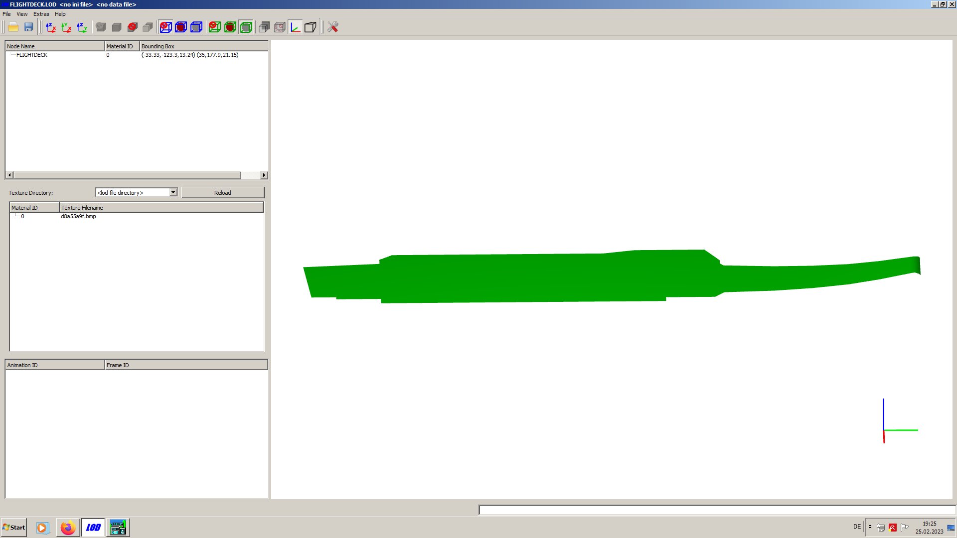
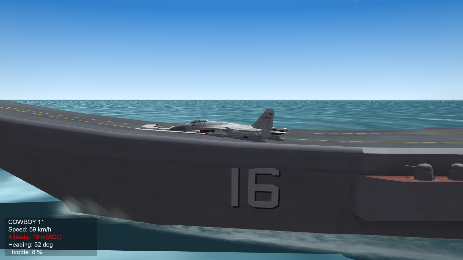
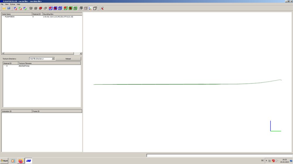
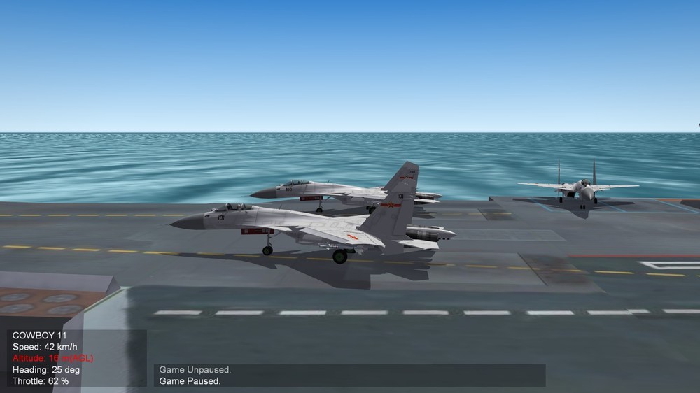
The Liaoning has a flightdeck.lod file with a jump ramp. And it does not work as it should. Its difficult to see in the screenshot, but the bow is going upwards to the ramp.
-
What a f-cking long queue at the Mc's!
- 778 replies
-
- 10
-
-

-
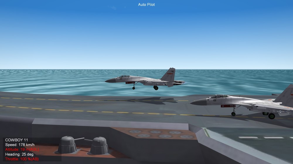
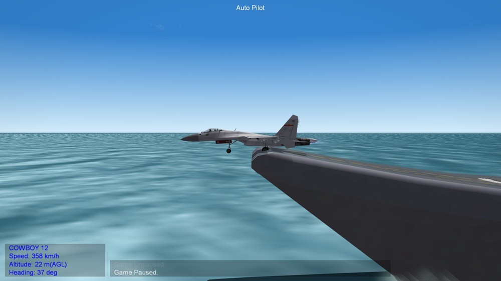
I have tried this with Kuznetzov and Liaoning: I modded the starting and the end position of catapult-run so, that the end point is higher than the starting point. ( The last value in the column, the Z coordinate) [Cat1] SystemType=CATAPULT CatapultID=1 StartPosition=18.04,70.12,13.94 <<<<<<<<<<<<<<< start point height 13,94m EndPosition= 5.10,176.40,21.97 <<<<<<<<<<<<<<<<end point height 21,97m LaunchTime=3 The result in game looks so: starting position on Liaoning carrier when activate autopilot the plane jumps into the air and then jumps over the ramp (okay more or less, the end value is set a little bit to low) If i set the end point at the same high than the starting point the result looks so: Both is not satisfying, but i see no other way to simulate a ramp start. If you want to see how the "jump over the ramp" take off works try my Liaoning carrier.


-
No it isn't. Either through the ramp or jumping in the air. Other options we dont have. Unfortunatly.