Gepard
-
Posts
7,014 -
Joined
-
Last visited
-
Days Won
358
Content Type
Profiles
Forums
Gallery
Downloads
Store
Everything posted by Gepard
-
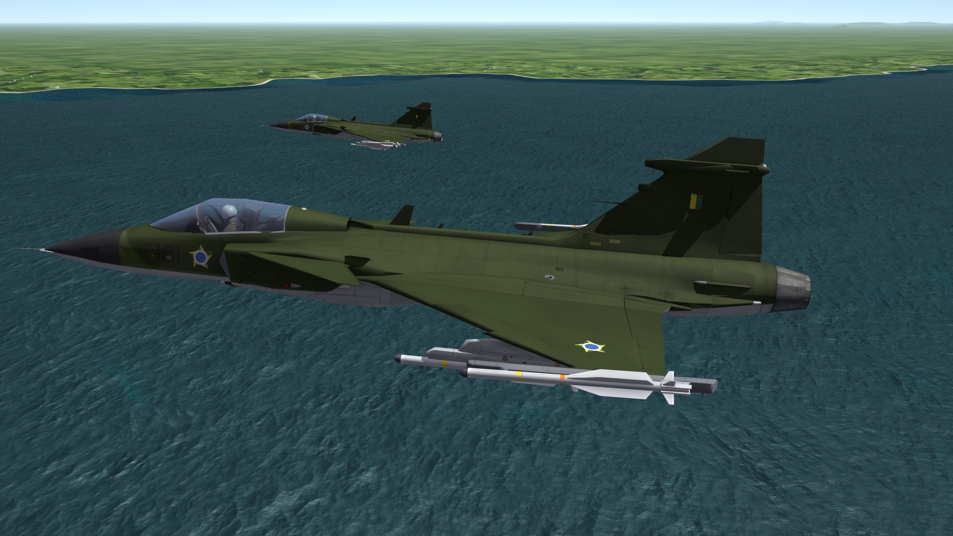
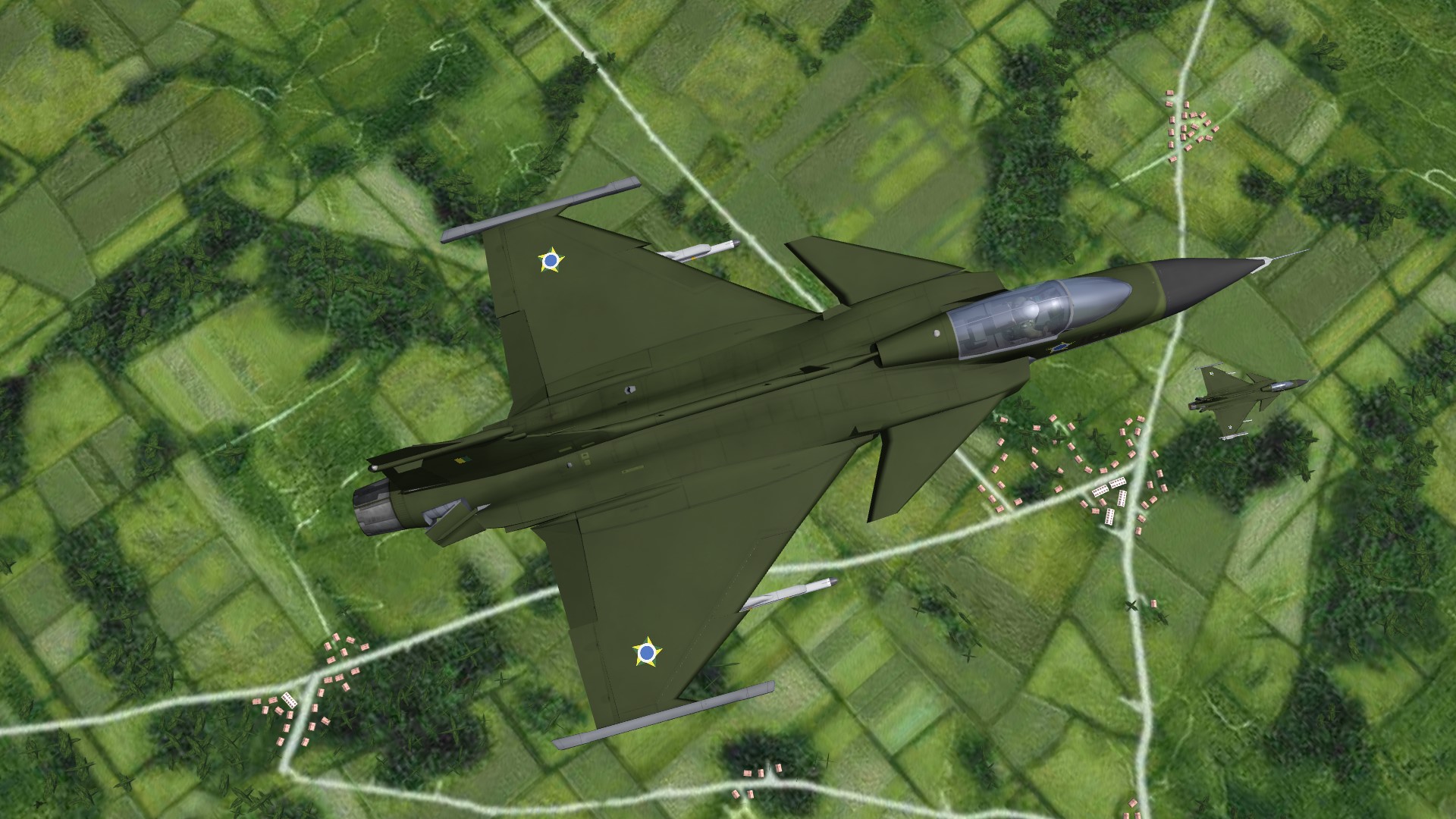
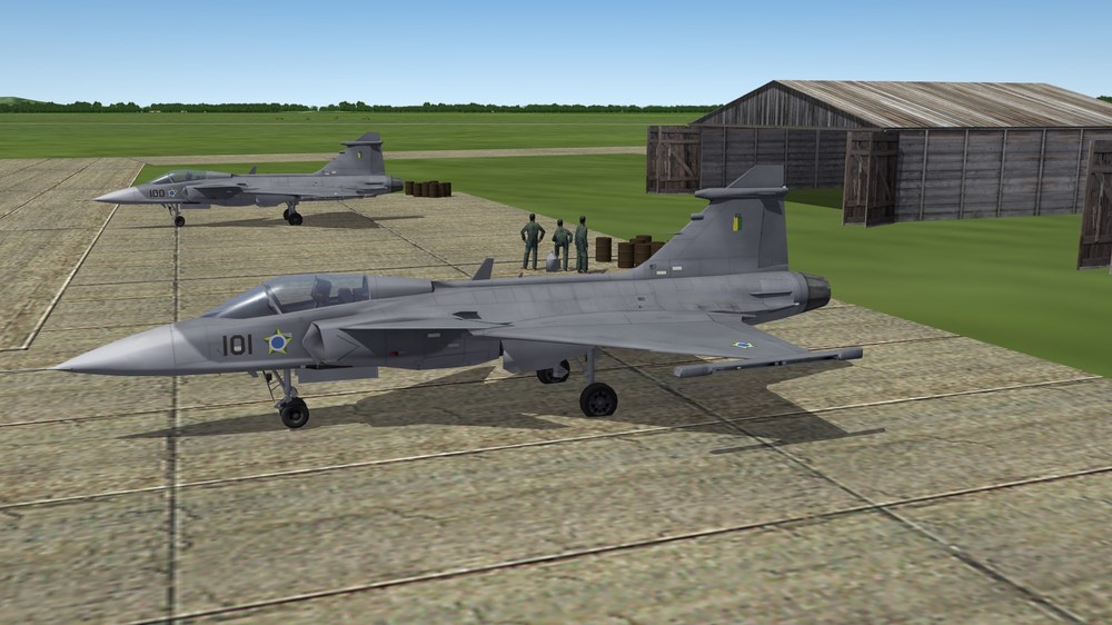
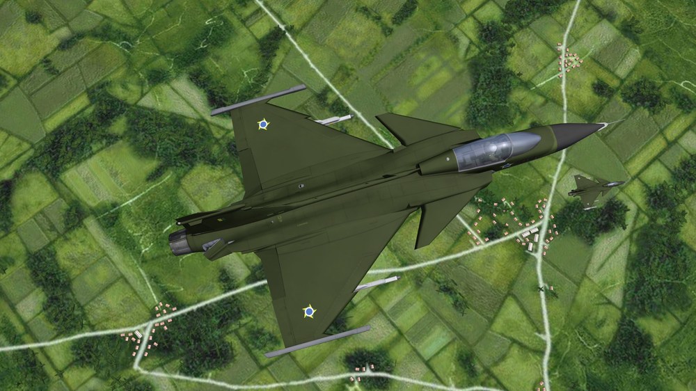
Brazilian Gripens

-
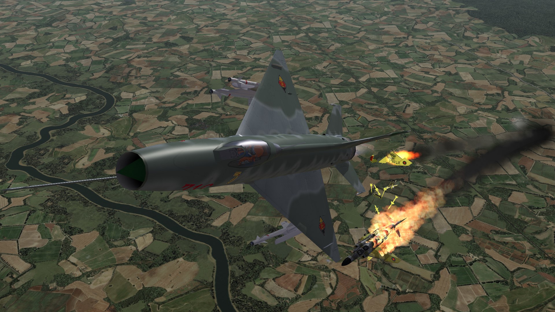
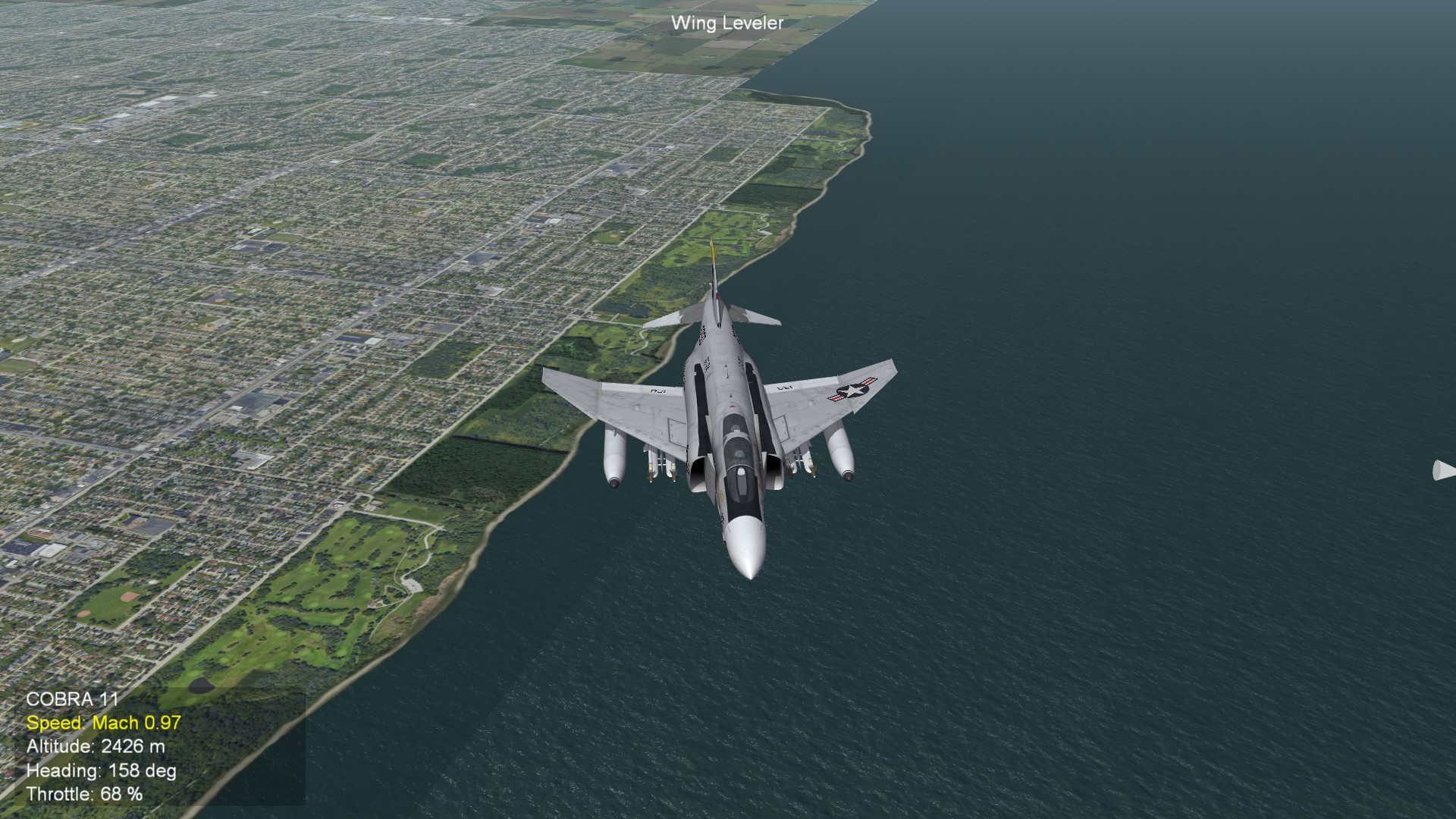
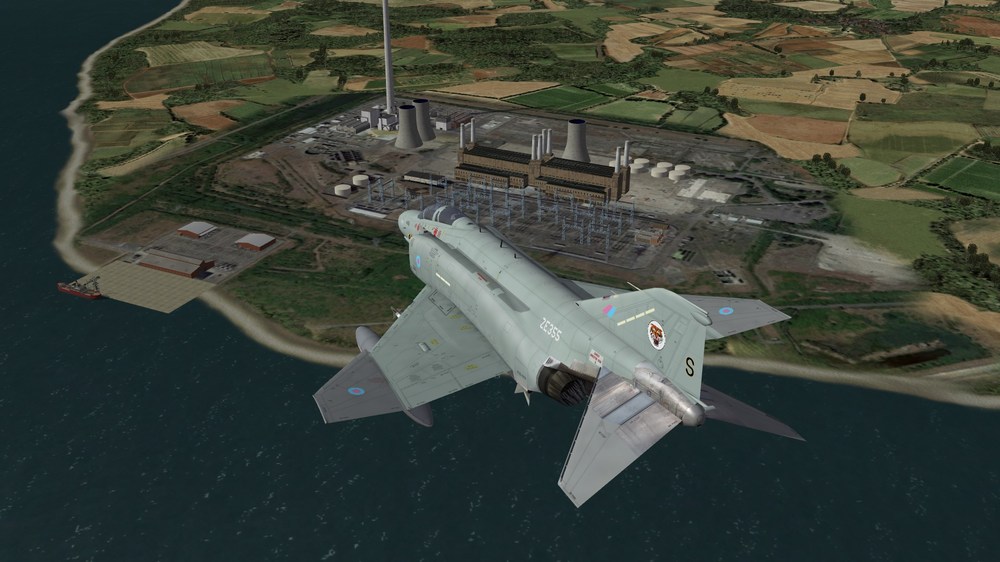
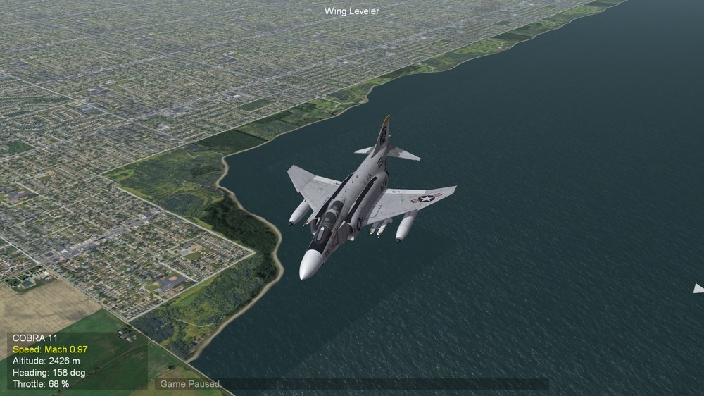
F-4J(UK) near power station in southern England
-
I have asked my son, who has the same curved monitor. He tested it and found that the "Operation Desert Storm" installation made such a streched view. The other (stock) games SF2E, SF2NA and SF2I have no problems with ultrawide (3440 x 1440) curved monitor and give a normal view.
-
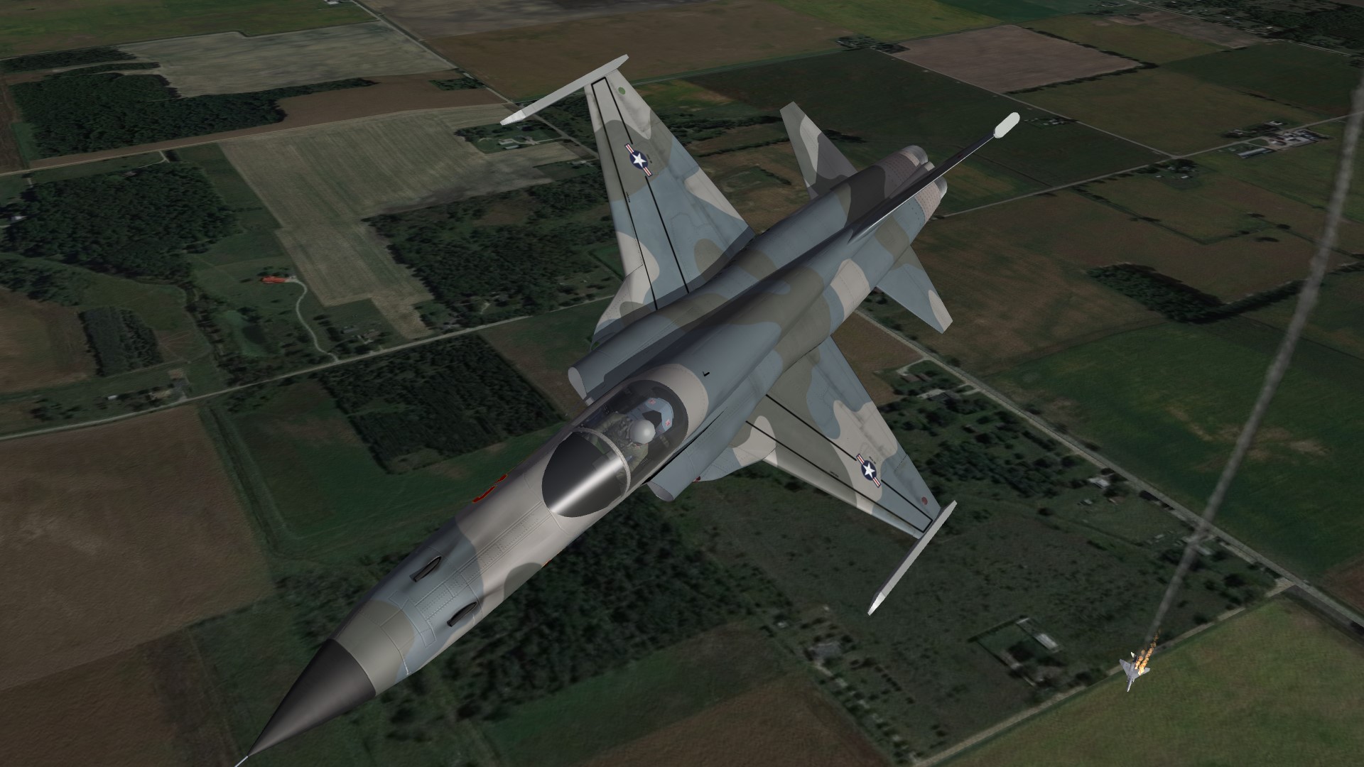
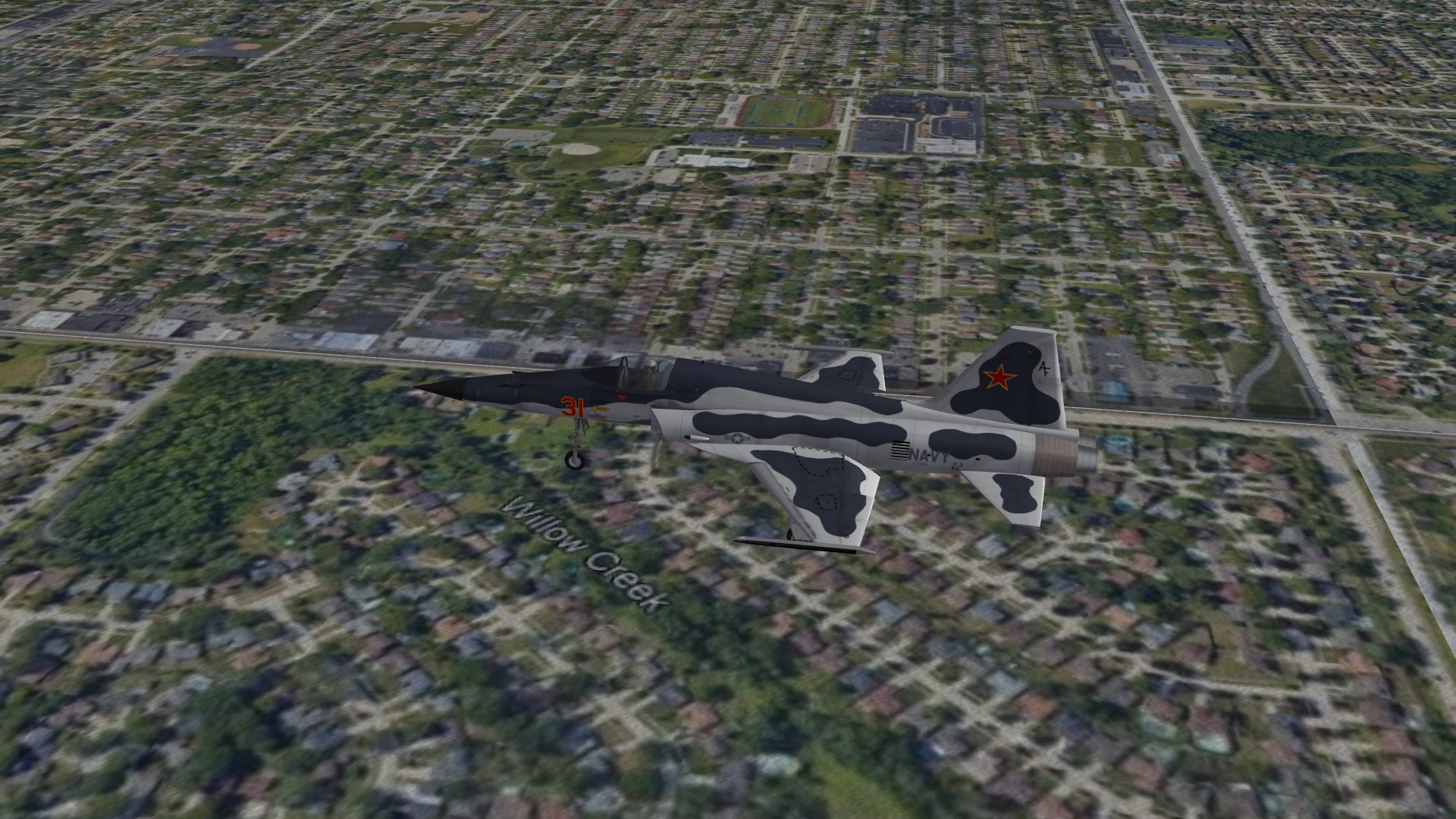
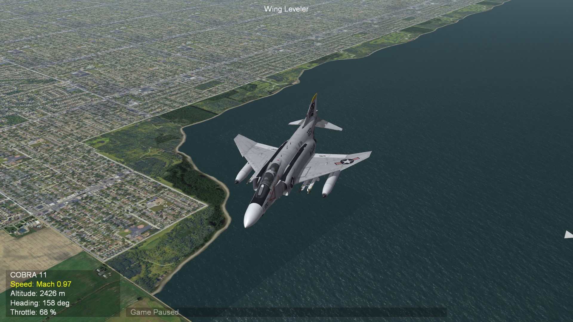
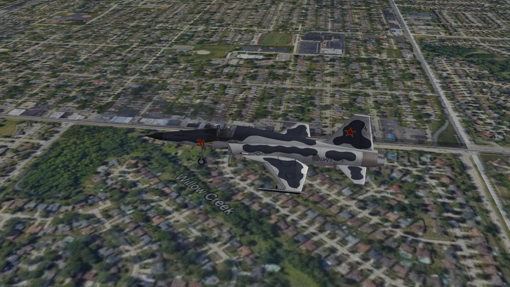
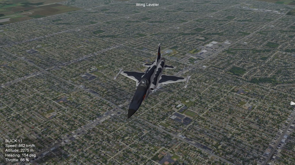
Somewhere over Michigan, USA (WIP)
-
The answer came fast. They say: " Das ist der Hahn für die Luftversorgung der Flugzeugführerkabine. " which translates into " This is the lever for the air supply to the aircraft cabin."
-
Never seen it before. But i posted the screenshot in a german forum. Perhaps one of the old MiG-21 pilots or technicians will answer. I let you know.
-
Horrido!!!!
-
Tiger Power!
-
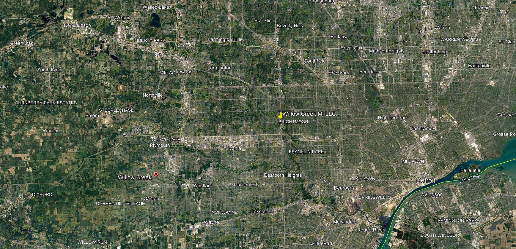
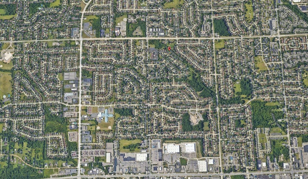
I found a small mistake on my suburb tiles: "Willow creek". Funny. If you want to know, where Willow Creek is located: The red button west of Detroit

-
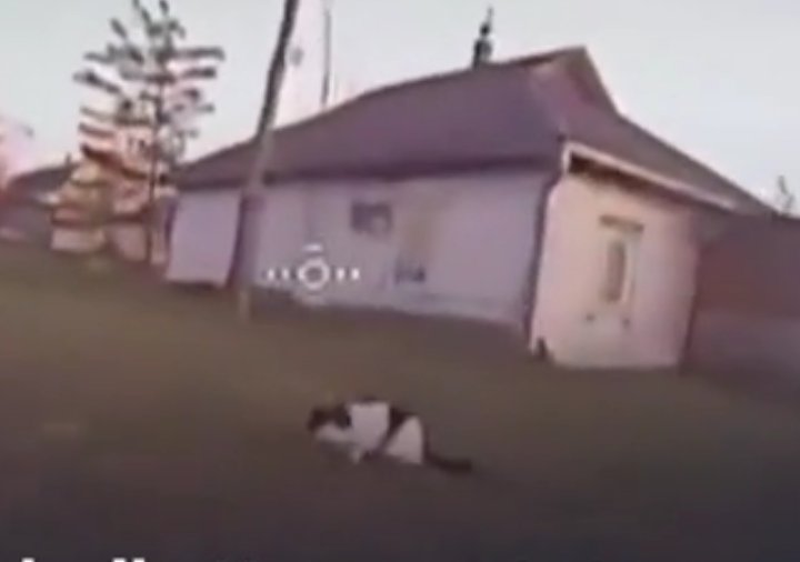
A cat was attacked by a drone. The cat fought back. Слава кота!!!! Here the viceo:

-
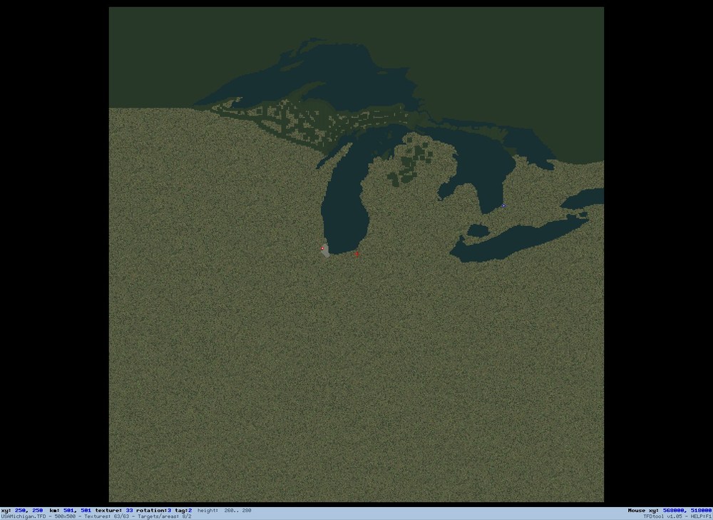
SitRep: At the moment i'm placing forrest tiles on the map. This must be done by hand, what means, it is time consuming. As you see on the map the canadian forrests are now on the map and i'm working southwards. When all forrest tiles are laid out, i will make the transition run with the terrain editor. Cross the fingers, that this tool will do the job properly. Otherwise i will have to do a lot of handwork.
-
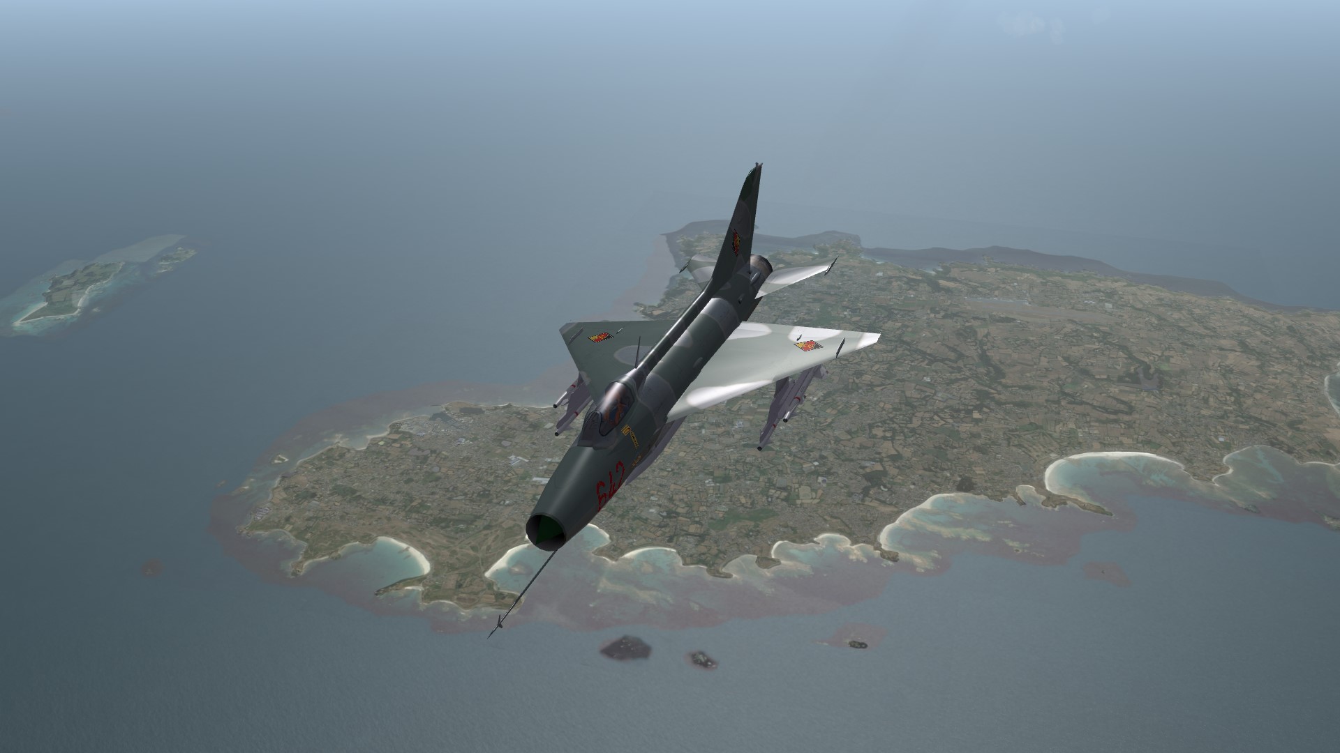
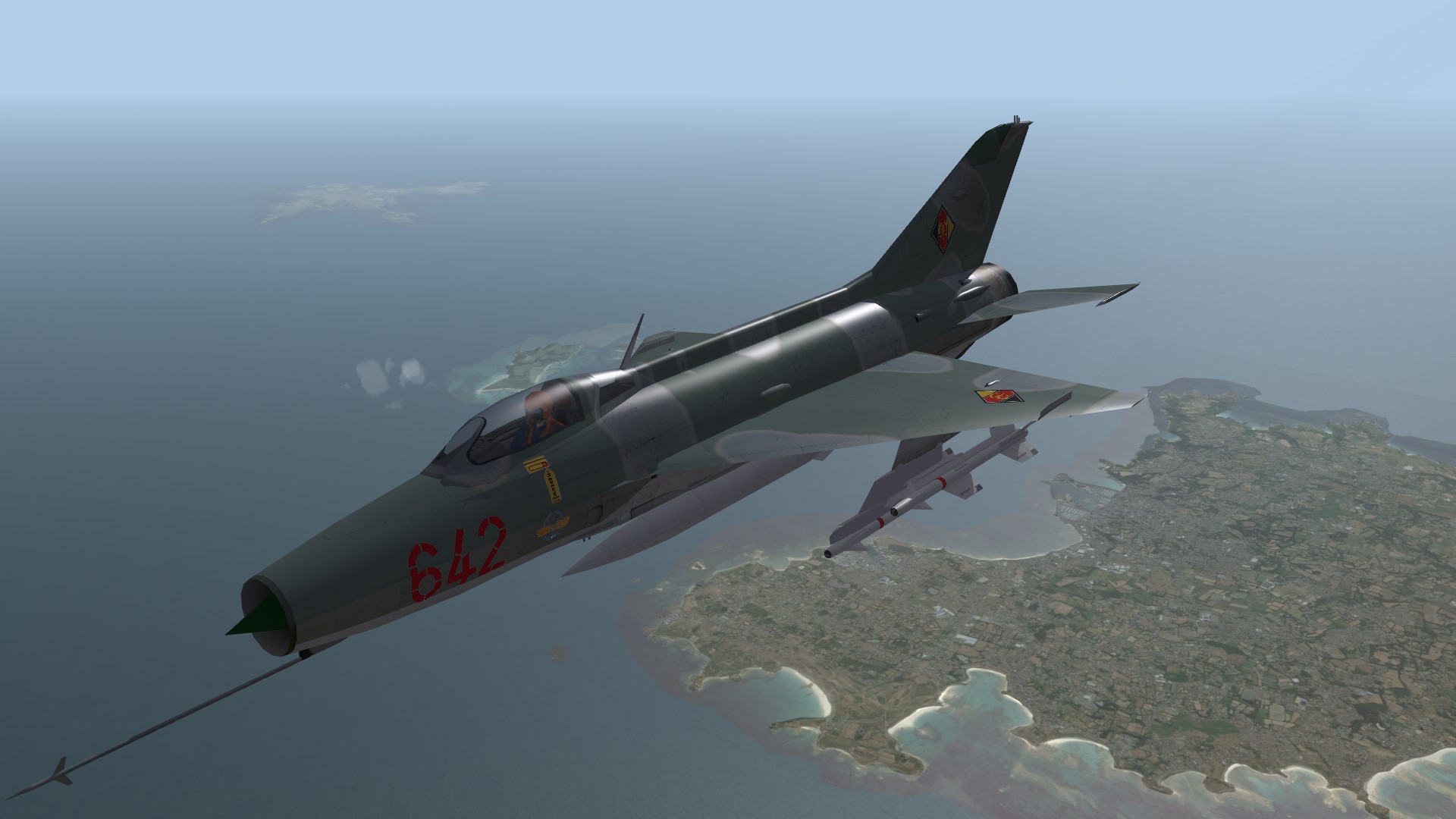
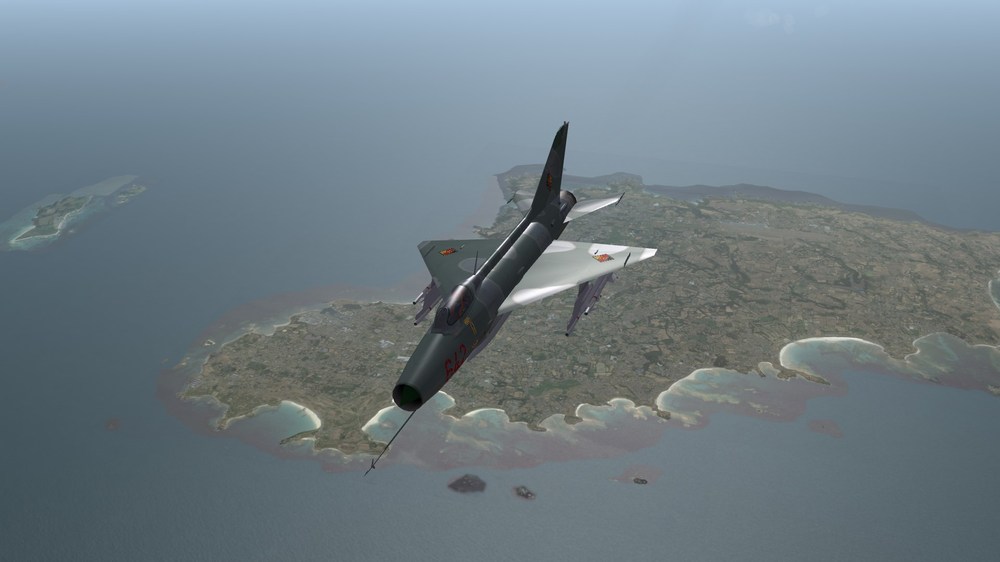
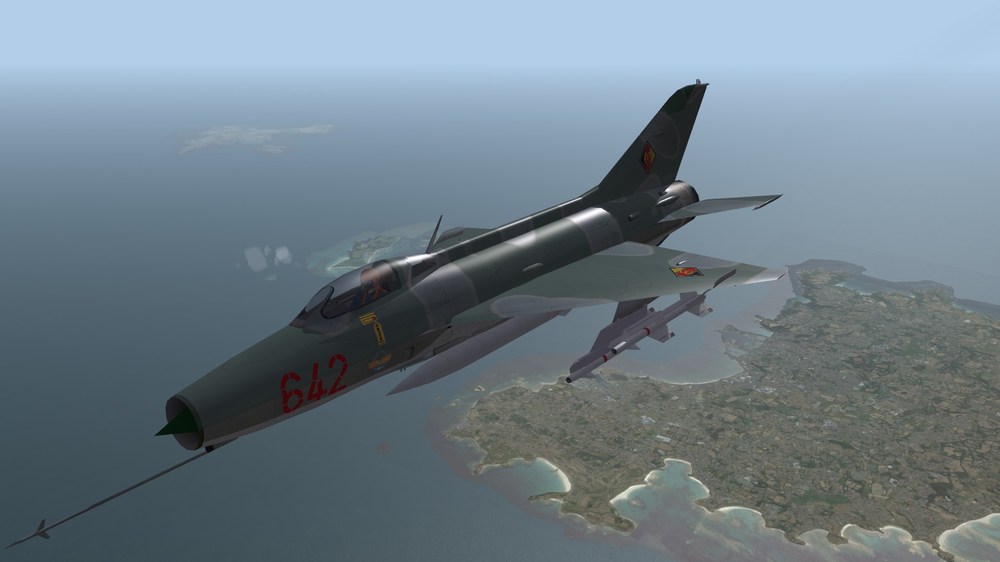
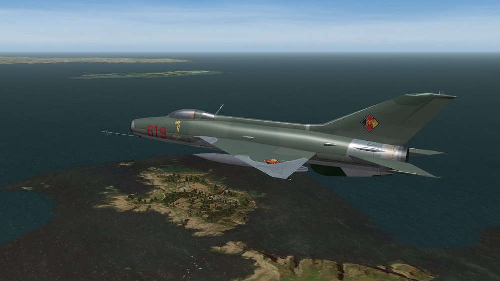
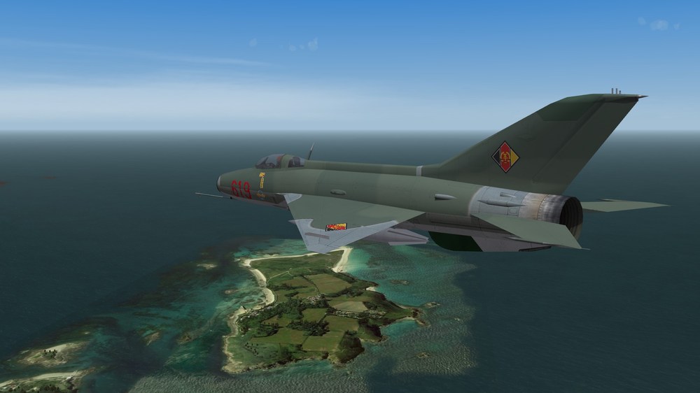
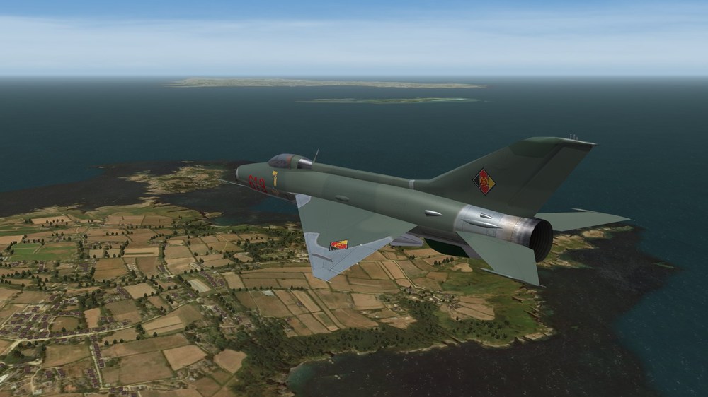
Over Guernsey. (Battle of Britain 2 1960th terrain)
-
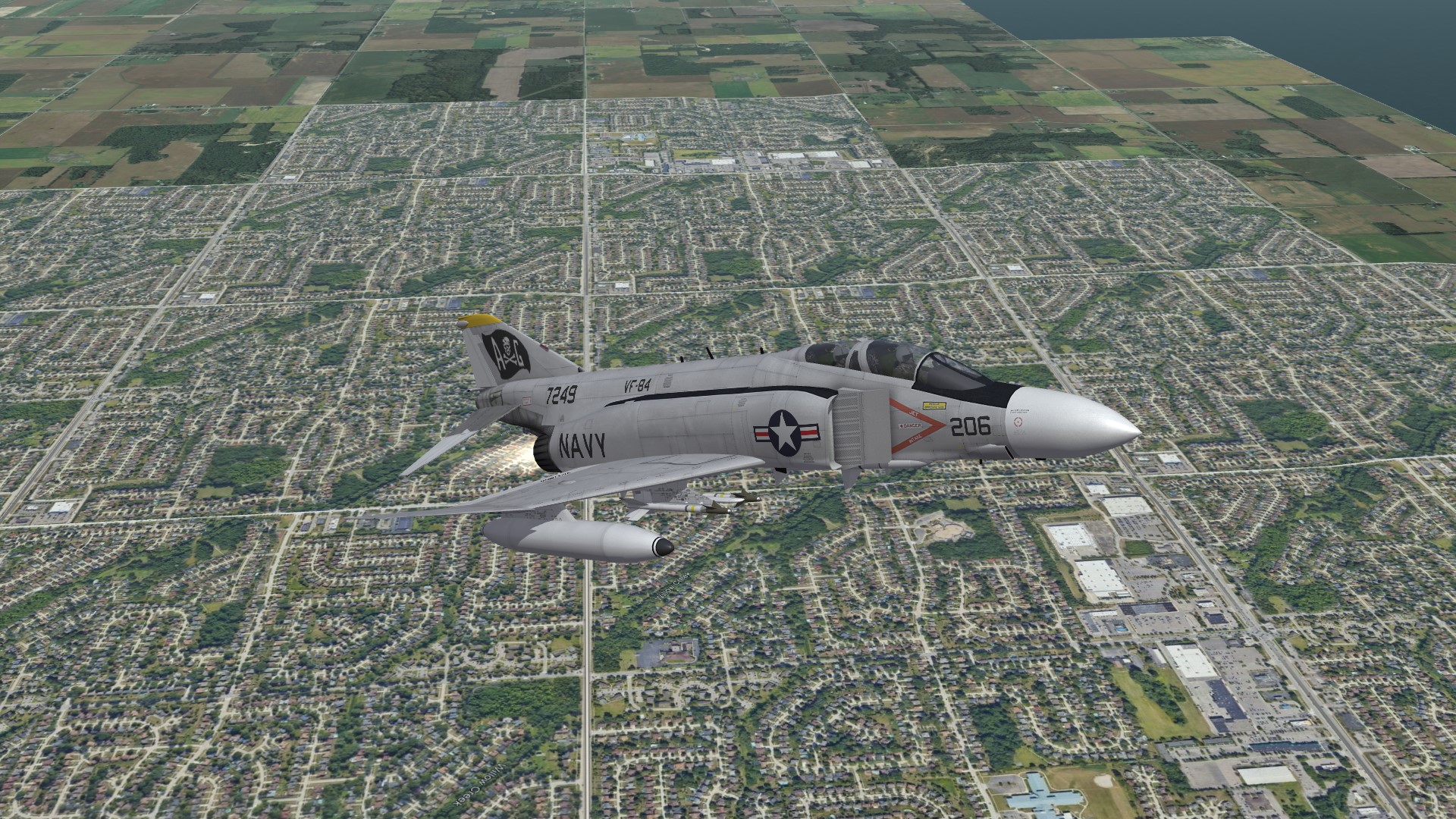
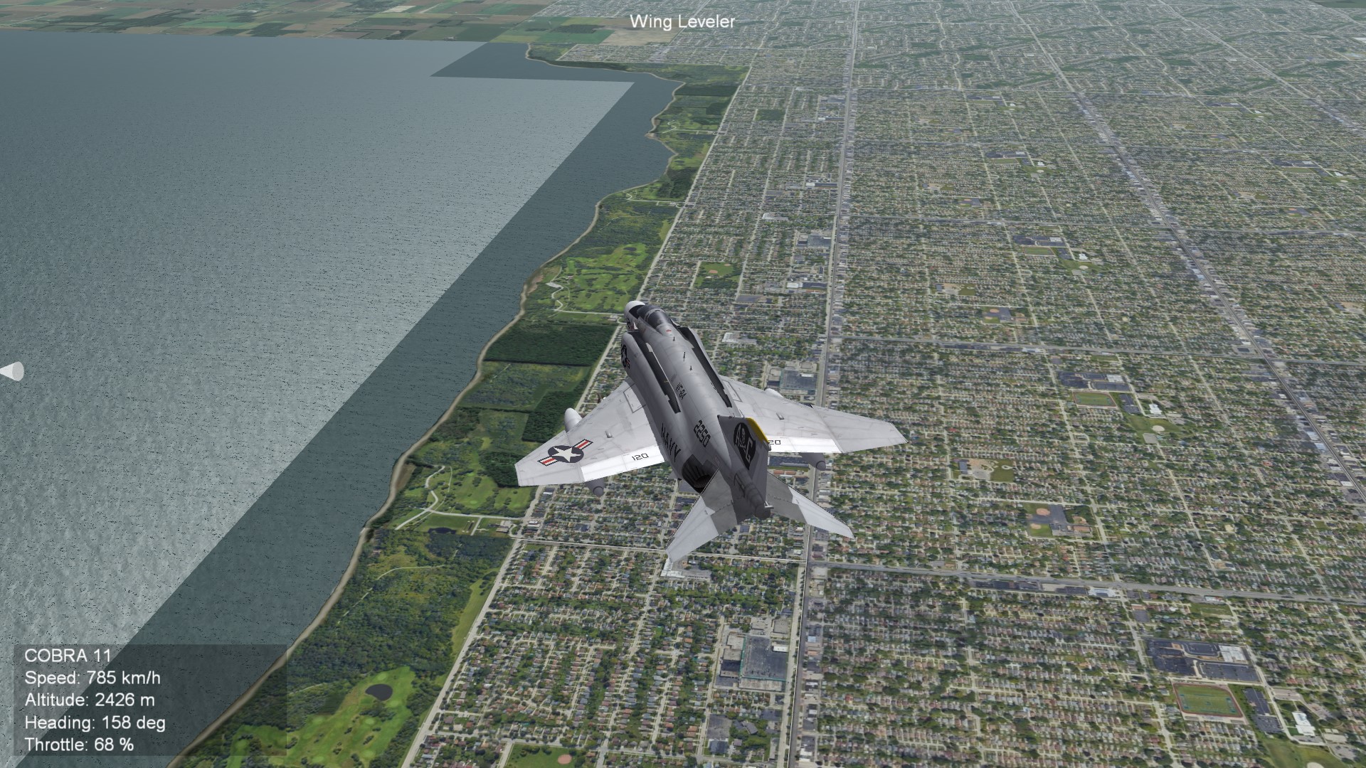
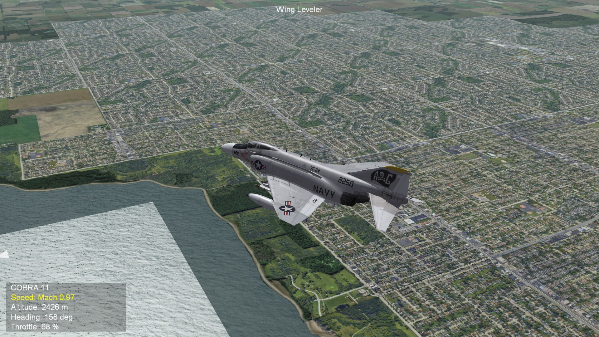
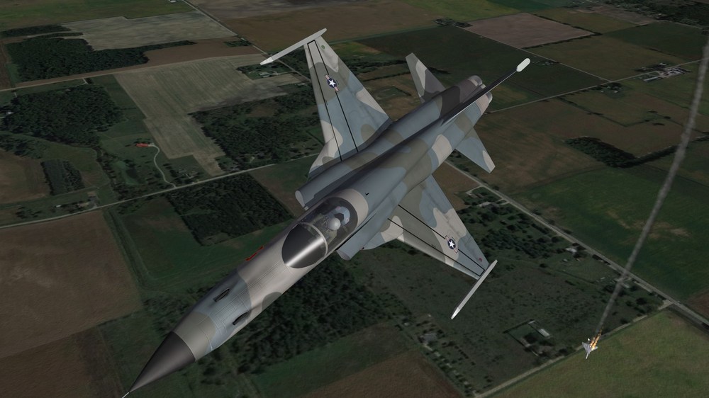
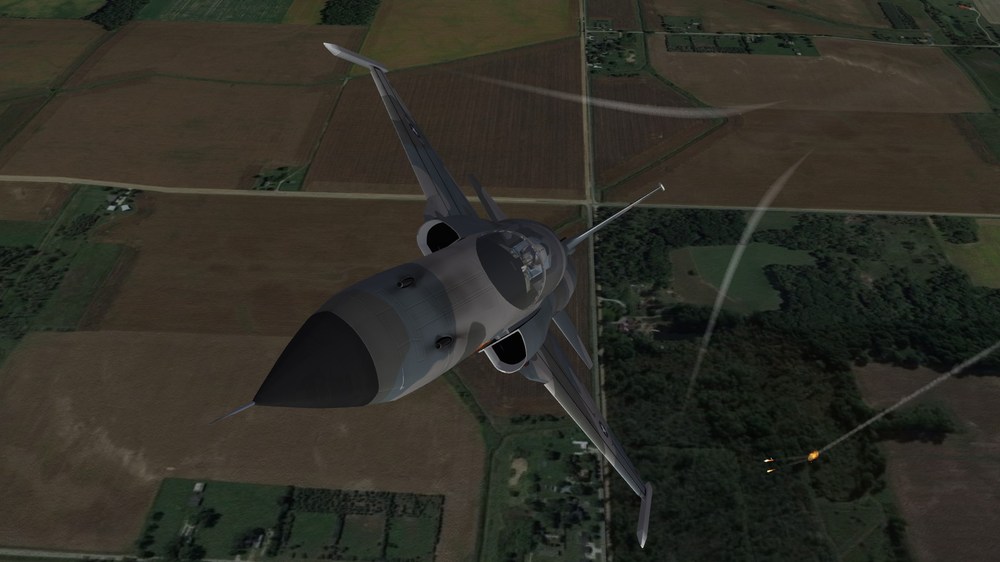
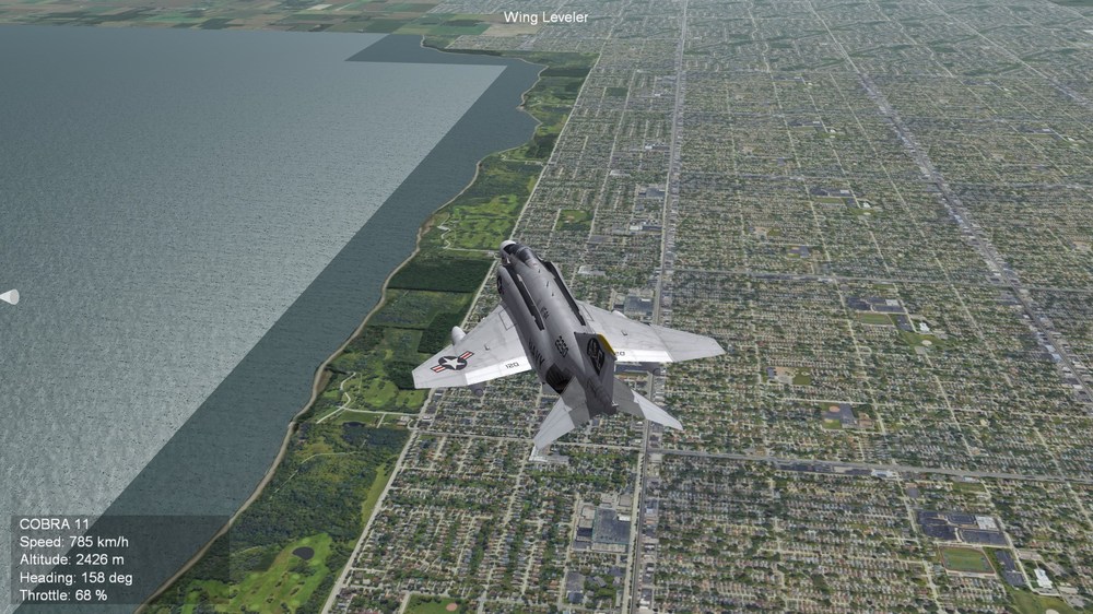
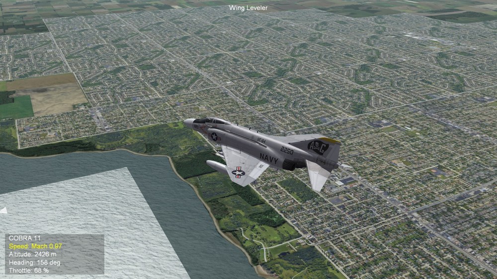
Somewhere over Michigan, USA

-
I'm fighting a little bit with the TerrainEditor. Automatic transistion of tiles works fine. But there is one small problem. TE kicks out all of my city tiles and make them to farmland. Funny. Surely it is only a small mistake in the textureslist.ini. But which?
-
SitRep: I made some sea to city tiles. this are screenshots of the first test. The mask in alpha channel has still to adjust. Thatswhy the differences between the seatiles.

-
Back to Michigan, USA SitRep: I made two new tiles for suburbs. Further i created transistion tiles from sea to famland and from sea to forrest. I still have to create transition tiles from sea to city and then i hope, that the terrain editor will make his job to do the transistion of the map automatically. You see in front the city tiles and in the background the two suburb tiles Here the suburb tiles are on the left, the city tiles are right. Here you see the two suburb tiles. One as only living area, the other with shopping centers or factories or whatever it is.

-
Yes it is possible. It is unrealistic, but possible. You need access to file F-16A_data.ini. Open it, search for weapon entry lines and add in the line behind "IRM" following: ,SAHM Save it. Thats it.
-
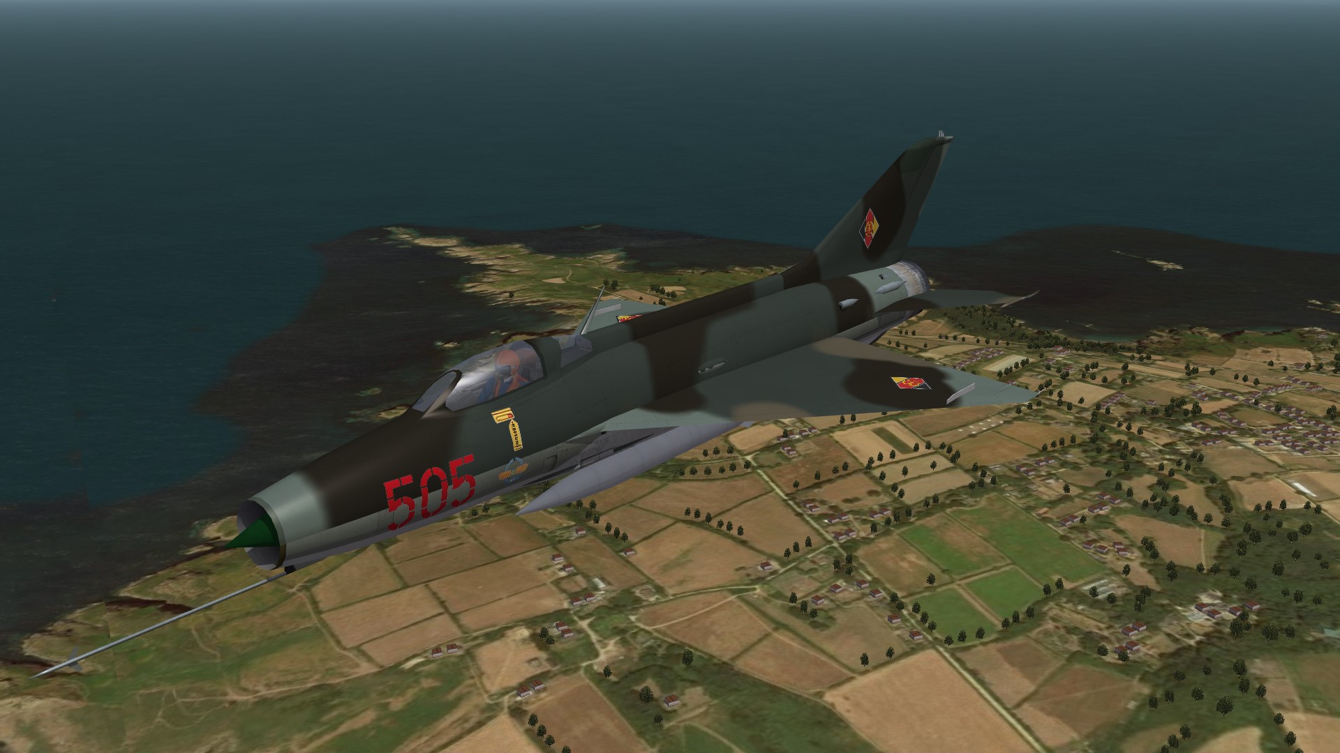
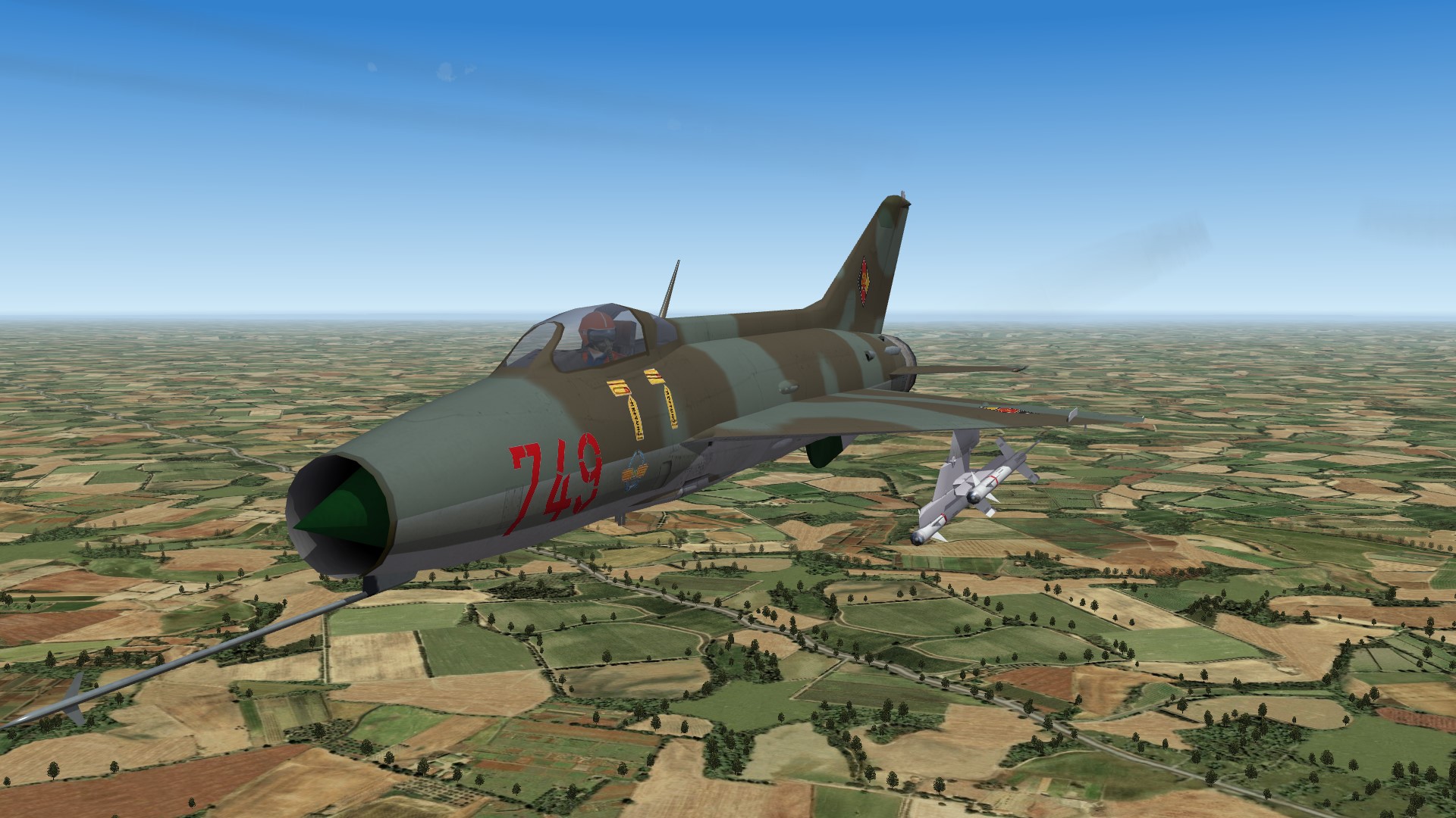
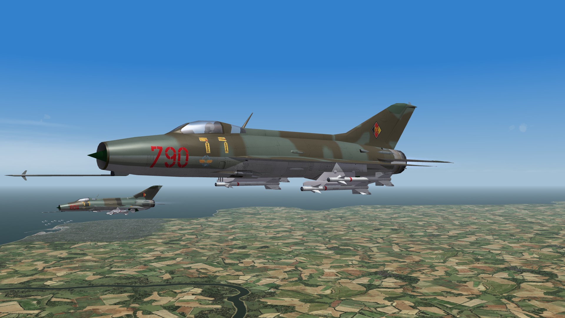
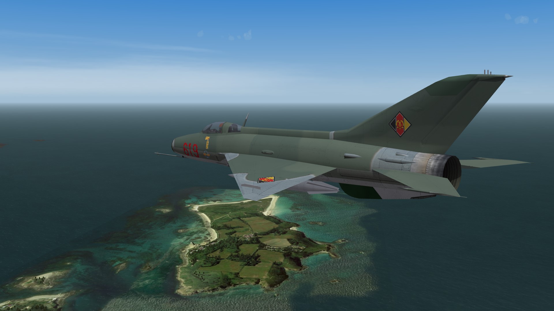
View File MiG-21F-13M Fishbed-O MiG-21F-13M update program (What if) *********************************** ---------------------------------------------------------- I. This mod is written for SF2 +++++++++++++++++++++++++++++++++++++ II. History: In 1969, the Soviet Union delivered the first of 87 MiG-21Ms to the East German Air Force LSK/LV. This aircraft was eagerly awaited in the GDR, as it promised a greater range, a higher weapon load and an improved radar. But when the aircraft became part of everyday military life, the joy soon gave way to great disillusionment. It became apparent that the MiG-21M had lost a large part of its maneuverability compared to its predecessor models. The acceleration ability was also no longer what it was used to. The pilots were loudly critical, which was unusual, because in the GDR it was strictly frowned upon to criticize Soviet military technology. At first the head of the air force wanted to punish his pilots for their criticism, but his deputy convinced him of the opposite. If loyal elite pilots dared to criticize openly, then there must be something to it. Therefore, a series of training air battles was scheduled in which the MiG-21M had to compete against its predecessor models. In every single air battle, the MiG-21M was outmaneuvered and simulated being shot down. The aircraft was simply too fat and underpowered. The disillusionment was great. Therefore, it was decided to use the MiG-21M from now on only as a reconnaissance aircraft and fighter-bomber. In order to bridge the time until more modern MiG-21 variants arrived, the older MiG-21 versions were ordered to be modernized. The focus was on the MiG-21PF and the MiG-21F-13. The MiG-21F-13 was the most agile version of the MiG-21. It was loved by its pilots. But this aircraft had some disadvantages. These included the lack of an air target radar, a low weapon load and a less than reliable engine. These problems needed to be addressed. The project was codenamed "Moskito". At the end of 1969, the Chief of the GDR Air Force presented the "Moskito" project at a meeting of the top leadership of the Warsaw Pact states. Polish and Czech participants were interested, so an agreement was reached that the "Moskito" project should be jointly pursued by the three states of the GDR, Poland and Czechoslovakia. Poland took on the task of modernizing the weapon system. Czechoslovakia would take care of the engine and the GDR would revise the sensor system. Work in Poland progressed quickly. This was because Poland was already working on a double launch rail for air-to-air missiles. It was called Monsun and was originally intended for the MiG-21PF. It now had to be integrated into the weapon system of the MiG-21F-13. This was achieved within a few months. The Czechs' task was more difficult. Initially, the original R-11F-300 engine was to be replaced by the MiG-21PFM engine. However, there were some delays and problems installing the engine. In addition, the increase in performance was only achieved when the afterburner was used, not with normal thrust. It was only when the Soviet Union agreed to supply the R-13F-300 engine that real progress could be made. Normal thrust increased by 5%, and afterburner thrust by an incredible 25%. The test pilots were enthusiastic about the MiG-21F-13 with this engine. In the GDR, they were faced with the problem of developing an air target radar that would match the RP-21 in terms of performance. The RP-21 did not fit into the slim nose of the MiG-21F-13. Therefore, the radar rangefinder SRD-5ND Kwant was used as the starting point for radar development. By using semiconductor technology instead of vacuum tubes, it was possible to reduce the weight of the device, increase its reliability and triple the detection distance. Instead of detecting a large aerial target at 7 km, the new radar had a range of more than 20 km. Making the radar's small antenna swivelable was a major problem. But after a few failed attempts, it was possible to develop a reliable mechanism. By mid-1971, project work had progressed to the point where the components developed by the three participating countries in the "Moskito" project could be combined in a prototype. Flight testing went surprisingly smoothly, so that the conversion of the first MiG-21F-13 to the new standard could begin in early 1972. In the GDR, the work was carried out in the aircraft factory in Dresden. Modernized aircraft were given the type designation MiG-21F-13M. The Polish aircraft were given the same designation, while the Czechs called their machines S-106M. Between 50 and 60 MiG-21F-13s were converted in each of the three countries. Czechoslovakia built another 50 new machines till 1976. The MiG-21F-13M saw its first combat deployment in the Yom Kippur War in 1973. The Soviet Union demanded that its allies compensate for the aircraft losses of Egypt and Syria by supplying MiG-21s. The GDR supplied the unpopular MiG-21M, while Poland and the Czechs each sent 12 MiG-21F-13Ms to Egypt. They were first deployed in the air battle of Al-Mansura, where they were able to shoot down 11 Israeli F-4Es without losing a single aircraft of their own. The Egyptian pilots were enthusiastic about the MiG-21F-13M. The MiG-21F-13M was flown in the GDR until 1985. In Poland and Czechoslovakia they were taken out of service in 1990. The pilots of the MiG-21F-13 loved this aircraft and considered it the best MiG-21 version ever. +++++++++++++++++++++++++++++++++++++ III. CREDITS: The MiG-21 cockpit is made by Paladrian. The missile dual rack is taken from Weaponspack. The tactical numbers are made by Paulopanz. The EastGerman skinpack is made by me, all other skins are stock game. ---------------------------------------------------------- IV. INSTALLATION: -Unzip all files into your objects folder. ------------------------------------------------------------ V. This mod is FREEWARE. COMMERCIAL use is NOT ALLOWED. ---------------------------------------------------------- VI. For remarks, comments, bugs, etc please use CombatAce forum or send me a PM. Hope you enjoy it. Michael (Gepard) Made in Germany December 2024 Submitter Gepard Submitted 12/28/2024 Category What If Hangar
-
I have uploaded it in the "What if Hangar". When the Admin gives the okay, you can enjoy it. Have fun! Remark: If you fly for the East Germans, you will find 100 more or less different skins. These skins are made by large decals, which are placed over a greengrey basic skin. For self defence, the plane comes with a 5 shot flare dispender. This device is not my invention. The most Warsaw Pact planes and helicopters had had such a dispenser. It was intended to give own forces the signal "Friendly Plane!", but worked as decoy launcher against early IR-seeker missiles as well.
-

Version 1.0.0
64 downloads
MiG-21F-13M update program (What if) *********************************** ---------------------------------------------------------- I. This mod is written for SF2 +++++++++++++++++++++++++++++++++++++ II. History: In 1969, the Soviet Union delivered the first of 87 MiG-21Ms to the East German Air Force LSK/LV. This aircraft was eagerly awaited in the GDR, as it promised a greater range, a higher weapon load and an improved radar. But when the aircraft became part of everyday military life, the joy soon gave way to great disillusionment. It became apparent that the MiG-21M had lost a large part of its maneuverability compared to its predecessor models. The acceleration ability was also no longer what it was used to. The pilots were loudly critical, which was unusual, because in the GDR it was strictly frowned upon to criticize Soviet military technology. At first the head of the air force wanted to punish his pilots for their criticism, but his deputy convinced him of the opposite. If loyal elite pilots dared to criticize openly, then there must be something to it. Therefore, a series of training air battles was scheduled in which the MiG-21M had to compete against its predecessor models. In every single air battle, the MiG-21M was outmaneuvered and simulated being shot down. The aircraft was simply too fat and underpowered. The disillusionment was great. Therefore, it was decided to use the MiG-21M from now on only as a reconnaissance aircraft and fighter-bomber. In order to bridge the time until more modern MiG-21 variants arrived, the older MiG-21 versions were ordered to be modernized. The focus was on the MiG-21PF and the MiG-21F-13. The MiG-21F-13 was the most agile version of the MiG-21. It was loved by its pilots. But this aircraft had some disadvantages. These included the lack of an air target radar, a low weapon load and a less than reliable engine. These problems needed to be addressed. The project was codenamed "Moskito". At the end of 1969, the Chief of the GDR Air Force presented the "Moskito" project at a meeting of the top leadership of the Warsaw Pact states. Polish and Czech participants were interested, so an agreement was reached that the "Moskito" project should be jointly pursued by the three states of the GDR, Poland and Czechoslovakia. Poland took on the task of modernizing the weapon system. Czechoslovakia would take care of the engine and the GDR would revise the sensor system. Work in Poland progressed quickly. This was because Poland was already working on a double launch rail for air-to-air missiles. It was called Monsun and was originally intended for the MiG-21PF. It now had to be integrated into the weapon system of the MiG-21F-13. This was achieved within a few months. The Czechs' task was more difficult. Initially, the original R-11F-300 engine was to be replaced by the MiG-21PFM engine. However, there were some delays and problems installing the engine. In addition, the increase in performance was only achieved when the afterburner was used, not with normal thrust. It was only when the Soviet Union agreed to supply the R-13F-300 engine that real progress could be made. Normal thrust increased by 5%, and afterburner thrust by an incredible 25%. The test pilots were enthusiastic about the MiG-21F-13 with this engine. In the GDR, they were faced with the problem of developing an air target radar that would match the RP-21 in terms of performance. The RP-21 did not fit into the slim nose of the MiG-21F-13. Therefore, the radar rangefinder SRD-5ND Kwant was used as the starting point for radar development. By using semiconductor technology instead of vacuum tubes, it was possible to reduce the weight of the device, increase its reliability and triple the detection distance. Instead of detecting a large aerial target at 7 km, the new radar had a range of more than 20 km. Making the radar's small antenna swivelable was a major problem. But after a few failed attempts, it was possible to develop a reliable mechanism. By mid-1971, project work had progressed to the point where the components developed by the three participating countries in the "Moskito" project could be combined in a prototype. Flight testing went surprisingly smoothly, so that the conversion of the first MiG-21F-13 to the new standard could begin in early 1972. In the GDR, the work was carried out in the aircraft factory in Dresden. Modernized aircraft were given the type designation MiG-21F-13M. The Polish aircraft were given the same designation, while the Czechs called their machines S-106M. Between 50 and 60 MiG-21F-13s were converted in each of the three countries. Czechoslovakia built another 50 new machines till 1976. The MiG-21F-13M saw its first combat deployment in the Yom Kippur War in 1973. The Soviet Union demanded that its allies compensate for the aircraft losses of Egypt and Syria by supplying MiG-21s. The GDR supplied the unpopular MiG-21M, while Poland and the Czechs each sent 12 MiG-21F-13Ms to Egypt. They were first deployed in the air battle of Al-Mansura, where they were able to shoot down 11 Israeli F-4Es without losing a single aircraft of their own. The Egyptian pilots were enthusiastic about the MiG-21F-13M. The MiG-21F-13M was flown in the GDR until 1985. In Poland and Czechoslovakia they were taken out of service in 1990. The pilots of the MiG-21F-13 loved this aircraft and considered it the best MiG-21 version ever. +++++++++++++++++++++++++++++++++++++ III. CREDITS: The MiG-21 cockpit is made by Paladrian. The missile dual rack is taken from Weaponspack. The tactical numbers are made by Paulopanz. The EastGerman skinpack is made by me, all other skins are stock game. ---------------------------------------------------------- IV. INSTALLATION: -Unzip all files into your objects folder. ------------------------------------------------------------ V. This mod is FREEWARE. COMMERCIAL use is NOT ALLOWED. ---------------------------------------------------------- VI. For remarks, comments, bugs, etc please use CombatAce forum or send me a PM. Hope you enjoy it. Michael (Gepard) Made in Germany December 2024 -
The best is: send Yakarow and PM and ask for help.
-
In 1969, the Soviet Union delivered the first of 87 MiG-21Ms to the East German Air Force LSK/LV. This aircraft was eagerly awaited in the GDR, as it promised a greater range, a higher weapon load and an improved radar. But when the aircraft became part of everyday military life, the joy soon gave way to great disillusionment. It became apparent that the MiG-21M had lost a large part of its maneuverability compared to its predecessor models. The acceleration ability was also no longer what it was used to. The pilots were loudly critical, which was unusual, because in the GDR it was strictly frowned upon to criticize Soviet military technology. At first the head of the air force wanted to punish his pilots for their criticism, but his deputy convinced him of the opposite. If loyal elite pilots dared to criticize openly, then there must be something to it. Therefore, a series of training air battles was scheduled in which the MiG-21M had to compete against its predecessor models. In every single air battle, the MiG-21M was outmaneuvered and simulated being shot down. The aircraft was simply too fat and underpowered. The disillusionment was great. Therefore, it was decided to use the MiG-21M from now on only as a reconnaissance aircraft and fighter-bomber. In order to bridge the time until more modern MiG-21 variants arrived, the older MiG-21 versions were ordered to be modernized. The focus was on the MiG-21PF and the MiG-21F-13. The MiG-21F-13 was the most agile version of the MiG-21. It was loved by its pilots. But this aircraft had some disadvantages. These included the lack of an air target radar, a low weapon load and a less than reliable engine. These problems needed to be addressed. The project was codenamed "Moskito". At the end of 1969, the Chief of the GDR Air Force presented the "Moskito" project at a meeting of the top leadership of the Warsaw Pact states. Polish and Czech participants were interested, so an agreement was reached that the "Moskito" project should be jointly pursued by the three states of the GDR, Poland and Czechoslovakia. Poland took on the task of modernizing the weapon system. Czechoslovakia would take care of the engine and the GDR would revise the sensor system. Work in Poland progressed quickly. This was because Poland was already working on a double launch rail for air-to-air missiles. It was called Monsun and was originally intended for the MiG-21PF. It now had to be integrated into the weapon system of the MiG-21F-13. This was achieved within a few months. The Czechs' task was more difficult. Initially, the original R-11F-300 engine was to be replaced by the MiG-21PFM engine. However, there were some delays and problems installing the engine. In addition, the increase in performance was only achieved when the afterburner was used, not with normal thrust. It was only when the Soviet Union agreed to supply the R-13F-300 engine that real progress could be made. Normal thrust increased by 5%, and afterburner thrust by an incredible 25%. The test pilots were enthusiastic about the MiG-21F-13 with this engine. In the GDR, they were faced with the problem of developing an air target radar that would match the RP-21 in terms of performance. The RP-21 did not fit into the slim nose of the MiG-21F-13. Therefore, the radar rangefinder SRD-5ND Kwant was used as the starting point for radar development. By using semiconductor technology instead of vacuum tubes, it was possible to reduce the weight of the device, increase its reliability and triple the detection distance. Instead of detecting a large aerial target at 7 km, the new radar had a range of more than 20 km. Making the radar's small antenna swivelable was a major problem. But after a few failed attempts, it was possible to develop a reliable mechanism. By mid-1971, project work had progressed to the point where the components developed by the three participating countries in the "Moskito" project could be combined in a prototype. Flight testing went surprisingly smoothly, so that the conversion of the first MiG-21F-13 to the new standard could begin in early 1972. In the GDR, the work was carried out in the aircraft factory in Dresden. Modernized aircraft were given the type designation MiG-21F-13M. The Polish aircraft were given the same designation, while the Czechs called their machines S-106M. Between 50 and 60 MiG-21F-13s were converted in each of the three countries. Czechoslovakia built another 50 new machines till 1976. The MiG-21F-13M saw its first combat deployment in the Yom Kippur War in 1973. The Soviet Union demanded that its allies compensate for the aircraft losses of Egypt and Syria by supplying MiG-21s. The GDR supplied the unpopular MiG-21M, while Poland and the Czechs each sent 12 MiG-21F-13Ms to Egypt. They were first deployed in the air battle of Al-Mansura, where they were able to shoot down 11 Israeli F-4Es without losing a single aircraft of their own. The Egyptian pilots were enthusiastic about the MiG-21F-13M. The MiG-21F-13M was flown in the GDR until 1985. In Poland and Czechoslovakia they were taken out of service in 1990. The pilots of the MiG-21F-13 loved this aircraft and considered it the best MiG-21 version ever.


- 4 replies
-
- 10
-

-
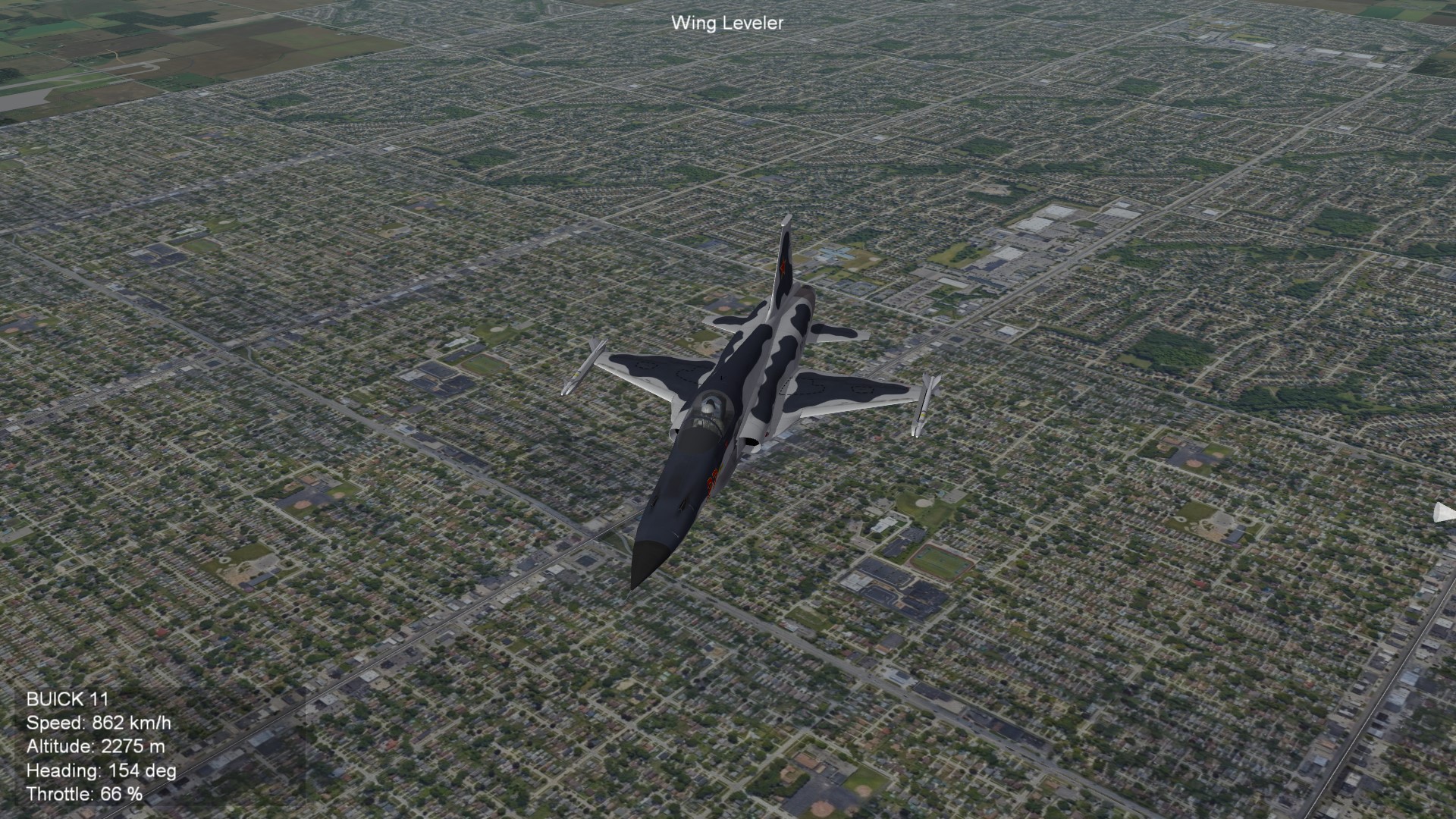
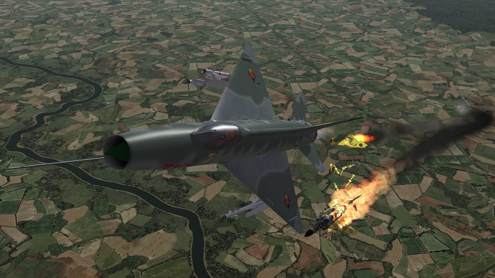
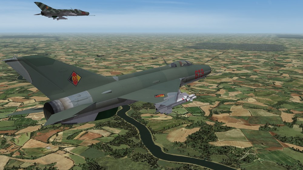
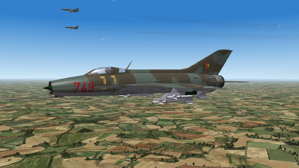
S-105, the czech MiG-19S
-
Just flying around at X-Mas. No missile firing, no bombs dropping, no gun shooting. Only flying and enjoy the landscape. Merry X-Mas to you all.

-
View File Battle of Britain 2 for 1960th Battle of Britain 2 1960th ***************************************************** This mod is made for SF2E. ---------------------------------------------------------- I. Battle of Britain 2 1960th terrain is a rework of Battle of Britain 2 Operation Sealion terrain, with focus on the 1960th. So you can fly and fight in a potentional Battle of Britain, which is fought in the 1960th. As basic the terrain is set as a Western European Union versus UK conflict. You can fly either for the french, west german, dutch, danish and belgium forces or for the RAF or the Royal Navy. The conflict starts with the occupation of the British Channel Islands by France and the british response.Thatswhy the airfileds on that islands are set for the red side and not for the RAF. You also find beachheads of a WEU invasion force, so that you can fly CAS missions on south Englands coast. If you like a more classic Soviets vs Britain setting, then you should look into the Goodies folder. In the subfolder Soviets vs UK you find the neccessary files to modify this terrain. Simply copy the two files (....nations and .....targets) into the Battle of Britain 2 1960th mainfolder and let overwrite the existing files. Then you can fight down the Soviets or, if you want, you can fly for the Soviets. If you want to switch back you can do it easily with copy the files from Europe vs UK folder. Compared with BoB2 OpSealion the new terrain has 19 additional targetareas. Some parts of the map are new tiled, some areas with photorealistic tiles, made by satpictures. The airfields are completly reworked, there are no two airfields which are looking as each other. The positioning of trees on the map (tod objects) is reworked on the most tiles. A known issue are the blue squares around the islands of Guernsey, Herm and Alderney, which not really match the color of the surrounding sea. I hope to solve this in a later update. The terrain comes with a campaign. It is a Western European Union vs UK campaign. If you want to fly for the Western European Union you need flyable versions of following planes F-104G Starfighter F-84F Thunderstreak Mirage3C Super MystereB2 F-100D All this planes are stock planes, for flyable versions you need only a cockpit. It can be found easily in the download area of CombatAce. ----------------------------------------------------------------------- II. CREDITS: While making Battle of Britain 2 1960th terrain i used a lot of files made by other modders. Thanks for this files! The tileset is basing on Jan Tumas tileset for First Eagles Photorealistic tiles are made by me. The most tod files are made by me, but i also used files made by Stary. The white cliffs objects are made by GKABS. Civil airport buildings and radars are made by GKABS Some hangars and other airfield components are taken from AirfieldDevKit_v1.1 myde by Pureblue The Robinson hangars are made by RussoUK2004 The industrial factories are made by Geezer. The fortification objects are made by Geezer. The cargoships which you find in London Docks are made by Nils 'Julhelm' Dücker Skin for Stonehenge is made by Charles The static planes (707,727,Caravelle,Comet,DC-8 and 9) are made by JimBib McDonalds building is made by Swambast ControlTower.LOD is made by RussoUK Techniker.LOD is made by Geezer, moded by me Plattenbau_4_Geschosse is made by Wingwiner as BlokW704P, i converted it from bmp to jpg I hope that have nobody forgotten. I want to say thank you to all who supported me. ---------------------------------------------------------- III. INSTALLATION: -Unzip the folders into your SF2 mod folder ---------------------------------------------------------- IV. For remarks, comments, bugs, etc please use the forum or send me a PM. ------------------------------------------------------------- V. Battle of Britain 2 1960th terrain and all of his parts are FREEWARE. COMMERCIAL USE IS NOT ALLOWED! Swambasts McDonalds building is not freeware and can be only used in this terrain. ------------------------------------------------------ ------------------------------------------------------------ Hope you enjoy it. Michael (Gepard) Made in Germany December 2024 Submitter Gepard Submitted 12/23/2024 Category Full Terrains
- 2 replies
-
- 3
-
-

-
- 1960th
- battle of britain
- (and 1 more)