Gepard
-
Posts
7,155 -
Joined
-
Last visited
-
Days Won
370
Content Type
Profiles
Forums
Gallery
Downloads
Store
Everything posted by Gepard
-
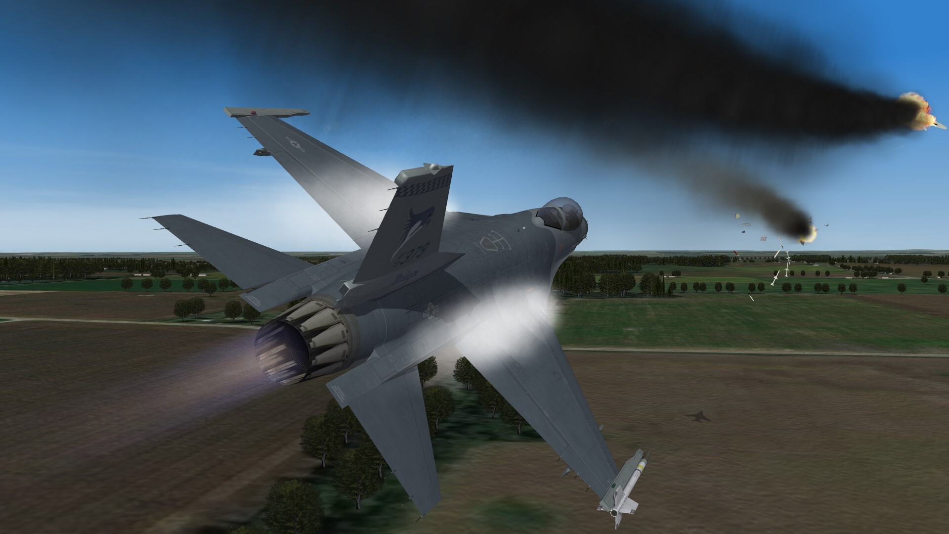
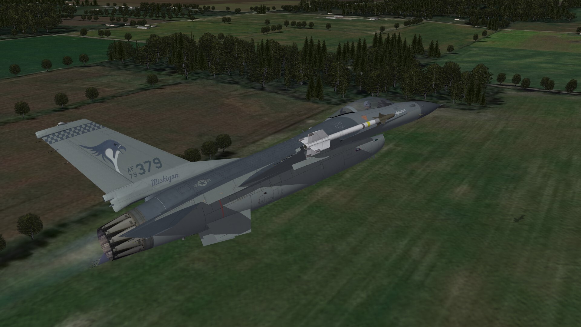
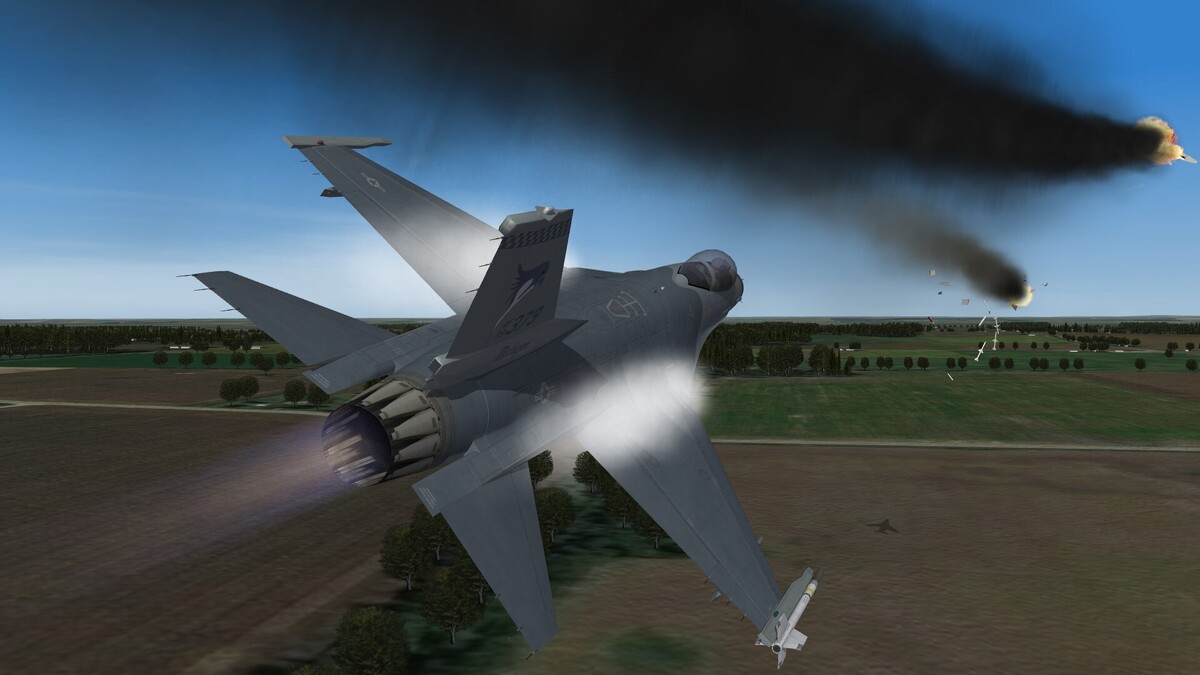
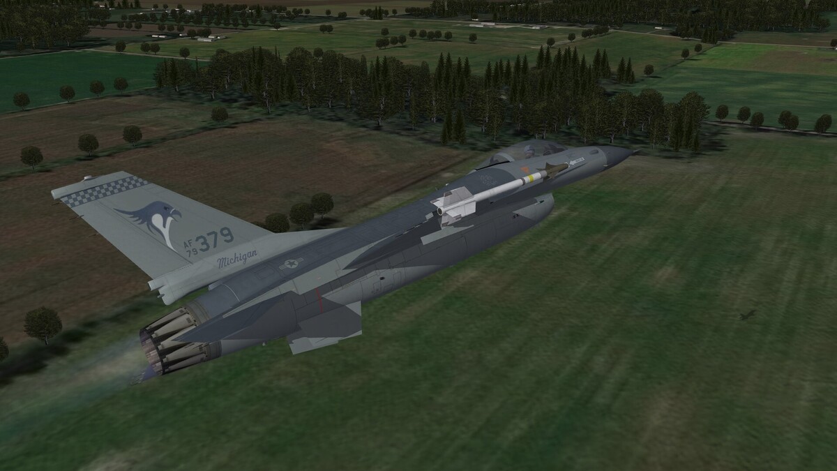
Over Michigans fields.
-
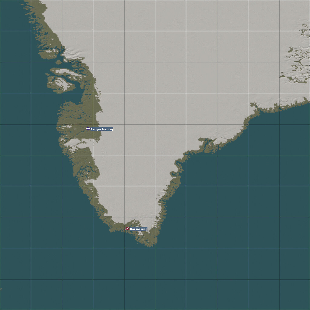
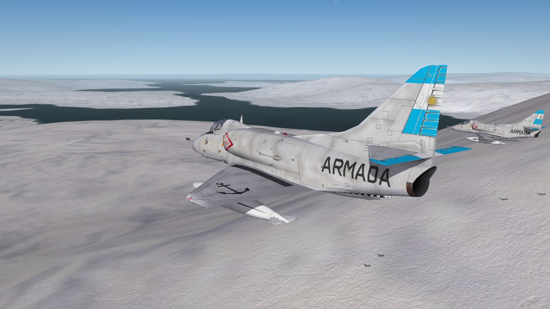
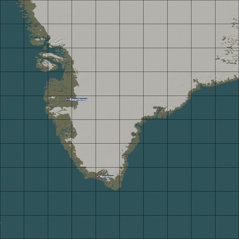
Only the coastlines are green, the rest is white. I think Greenland looks so in summertime. For the winter i must make some coastal tiles with snow. Greenland is to big for a 1.000 km map. Thats why i made only the southern part of Greenland. So Thule AB is outside of this map. I found only two airfields with runways long enough for fighter jets. the northern base i set for the USA, the southern base for the EU. Southwest of Greenland i placed the US carrierstation. Southeast is the european carrierstation. The most astonishing point of the map was for me the height of Greenland. The inner iceshield has heights of more than 3.000 meters. And the game engine does not like such heights. The planes fly up and down instead straight away. The afterburner starts and stops permanently.
-
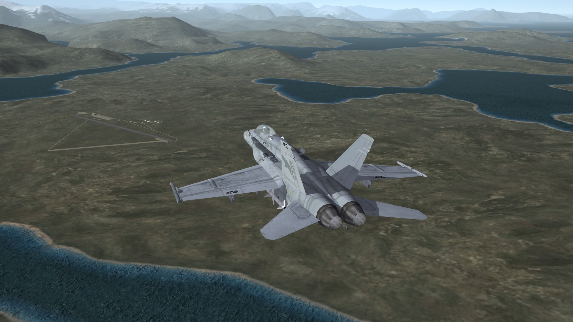
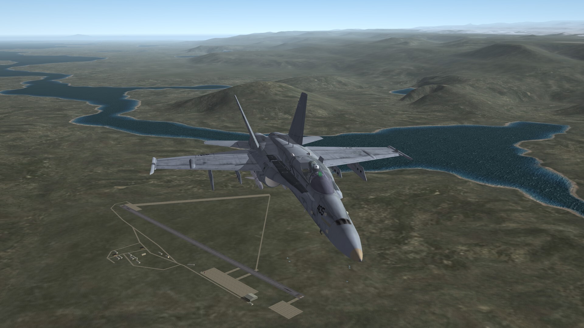
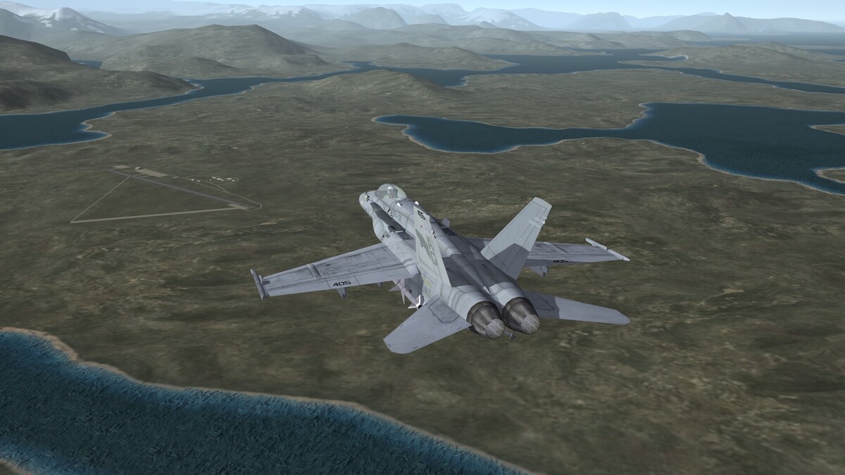
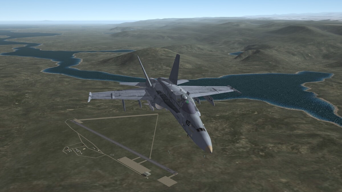
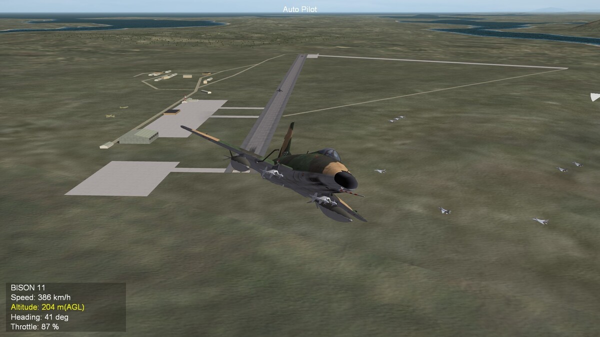
Narsarsuaq Airfield. I had to relocate the base from the real location, because the AI was unable to take off from this base and crashed into the mountains. The fjordes in the Greenland terrain are a nightmare for a terrain maker.
-
Welcome in our community.
-
Somewhere i have heared, that Chile got Canadair CL-13 Mk.6 from West Germany in mid 1960th.
-
Perhaps someone of our south american friends can answer my question: Which versions of the F-86 Sabre were used by Chile and Argentina?
-
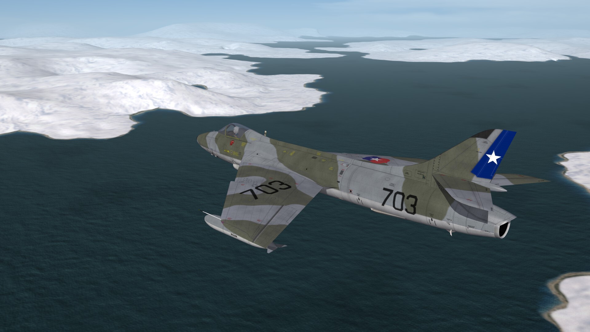
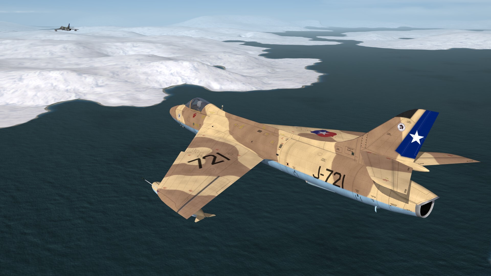
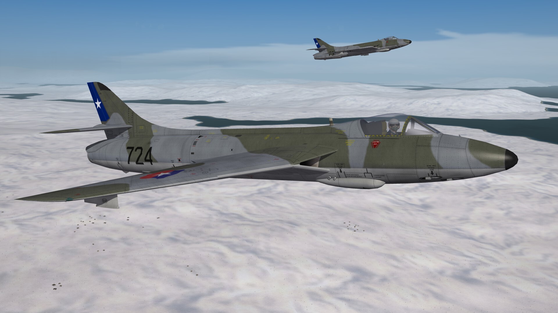
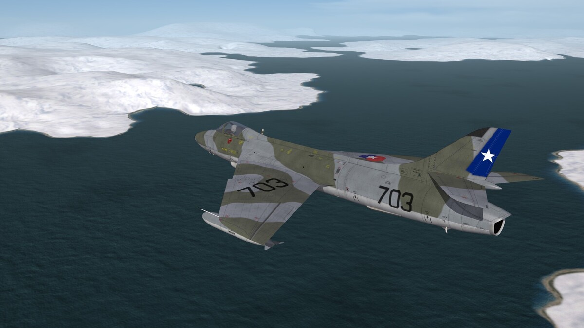
Chilli Hunters, ehm, ............. chilean Hunters.
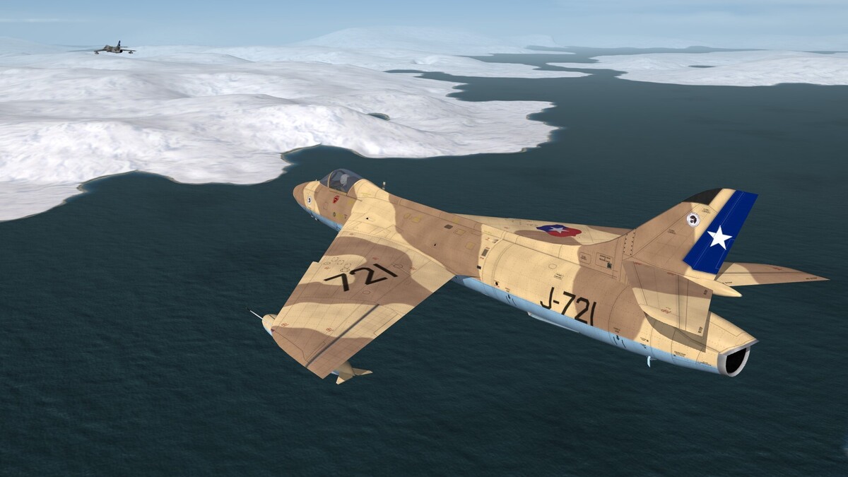
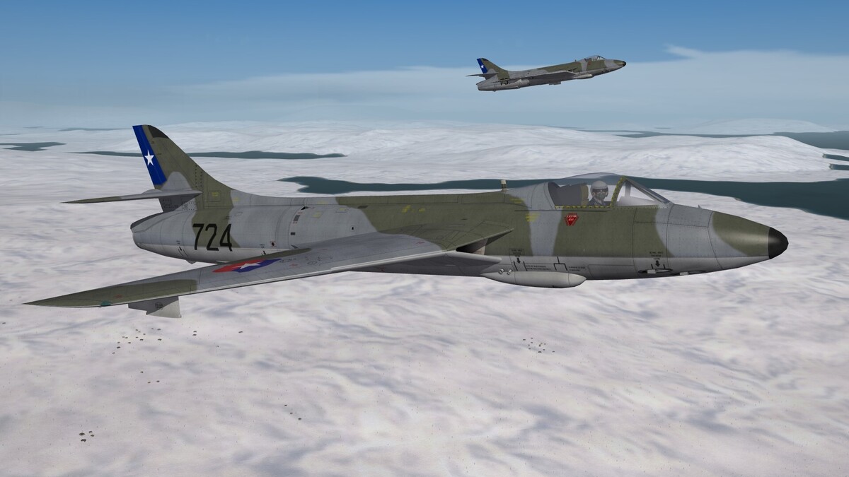
-
The map cant be to small. You have the "invisible" wall of 80 km of the edge of the terrain, what means, that you lose 160 km airspace, which you cant use. If you give 200 km space for each side, then you have a minimum size of 560 km, lets say 600 km for the map. My experience is, that 1.000 km maps are the best compromise between size and workload for creating a detailed terrain.
-
When listening to the news in the radio program, what old Donald is thinking about Greenland, i had the idea: why not a terrain which covers parts of Greenland and the surrounding sea. Two carrier stations, one for the Americans, one for the Europeans, some danish F-35 on airfields on Greenland .... Nice blue vs blue scenario. Or what do you think?
-
Nice job. It was surely a lot of work to make such a detailed terrain. For folks who want to fight the Air War in South Vietnam it is a great terrain.
-
-
WW3 aviation tactics/roles over Germany book?
Gepard replied to Stratos's topic in Military and General Aviation
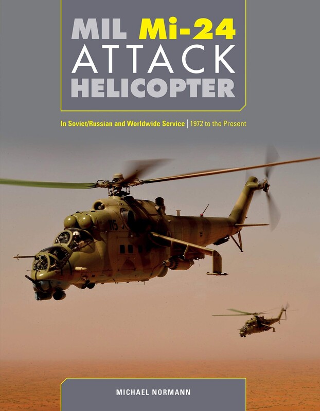
englisch language german language If you look to Amazon you will find it.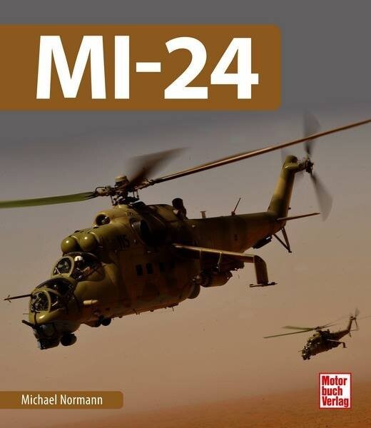
-
There was also a methode of using GLOBE DEM instead of GTOPO30 DEM. Something with making the GLOBE data to .raw file, which could somehow be transformed into a .hfd heightfield. But i cant remember how it was done. It's a long time ago. I can not remember wheter the GLOBE DEM have the same warp effect like GTOPO30 DEM.
-
Interesting way. But how about the heightfield of the map? Do you set every single elevation by hand? What means 16 elevation points per tile in 500 m resolution or 64 points with 250 m heightfield resolution.
-
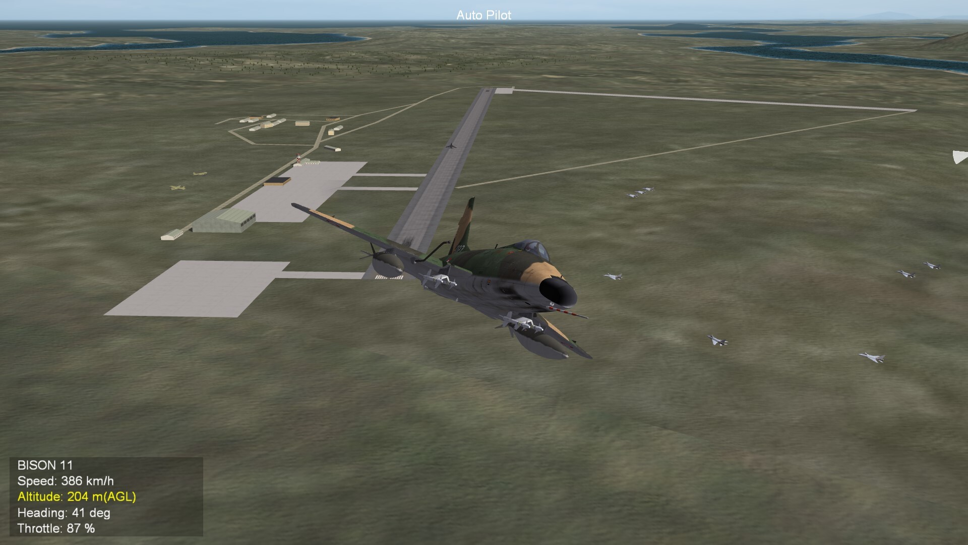
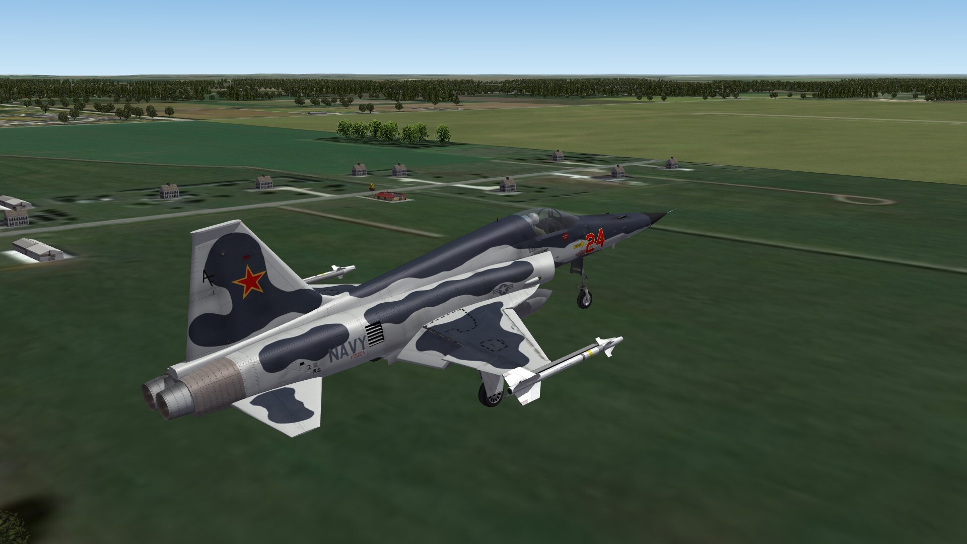
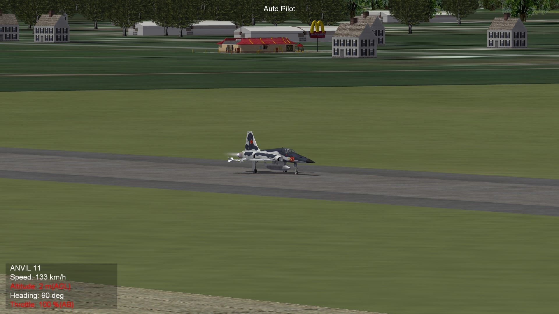
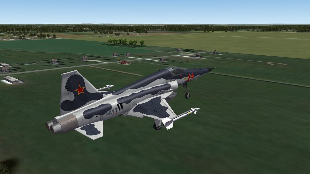
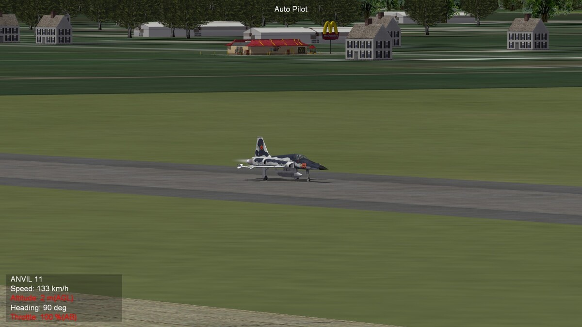
Landing Approach on Porter County Airport Look to the left, Happy Meal i'm coming!
-
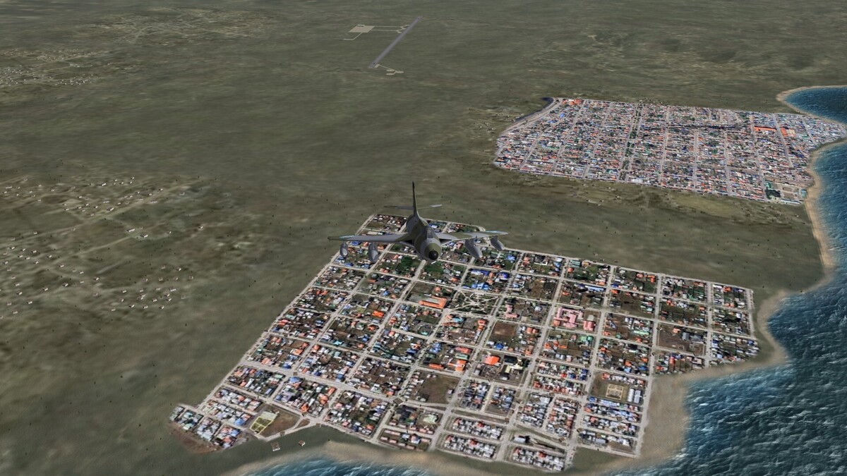
I would Ushuaia take out of the network. The terrain there is not good for a ground battle and it could be, that the game engine will decide, that forces there could be "encircled" and lost. Instead include Estancia La Marina in the strategic nodes network. +++++++++++++++++++++++++++++++++++++++++++++++++++++ I'm still testing "town at the sea" tiles.
-
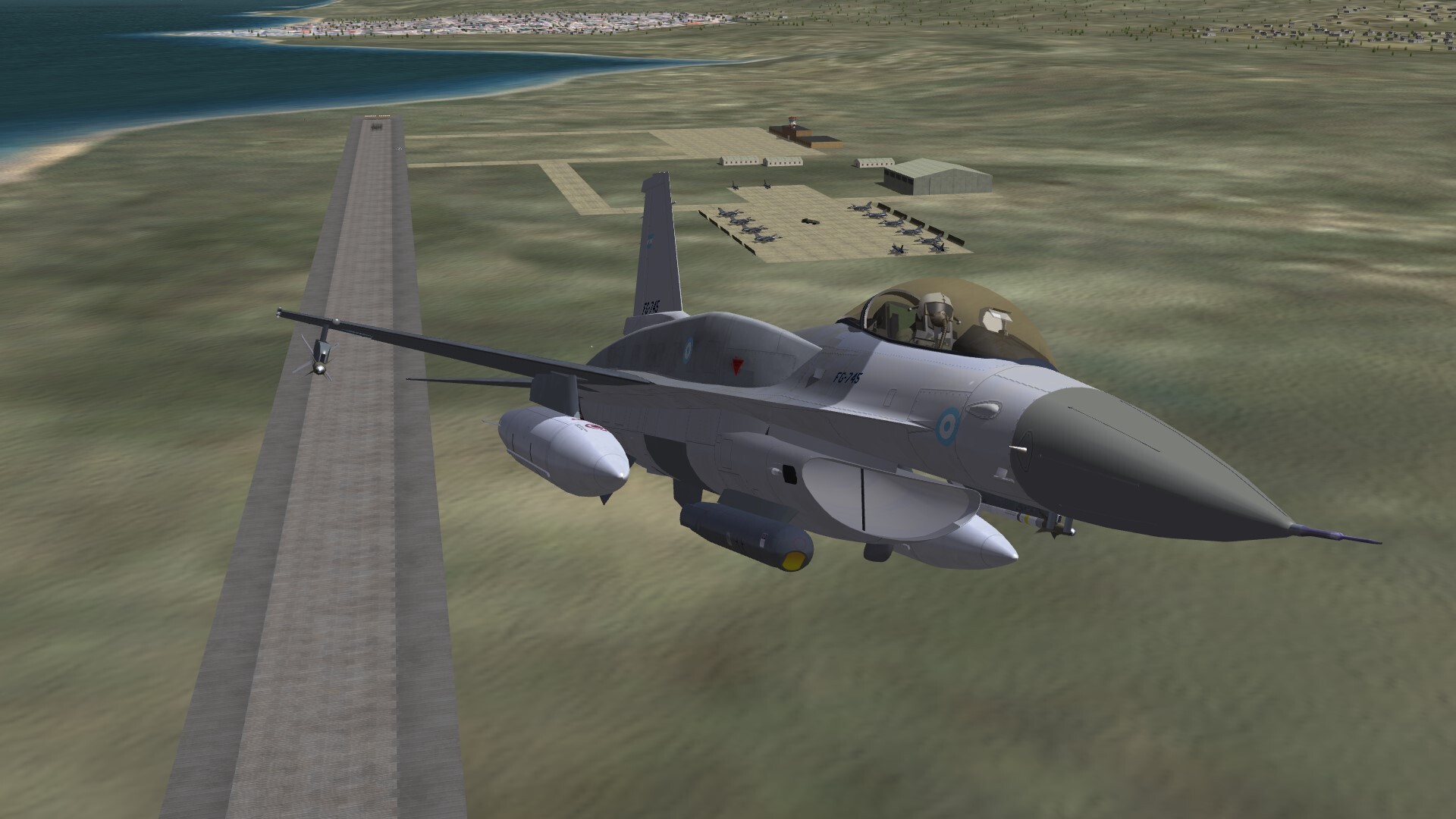
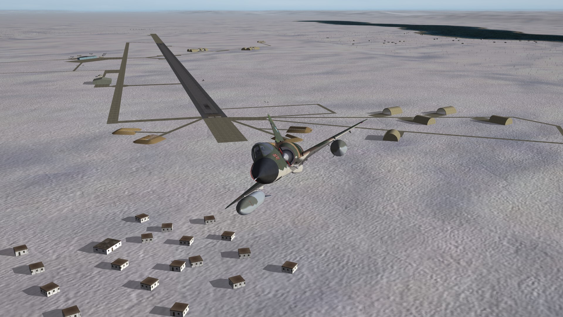
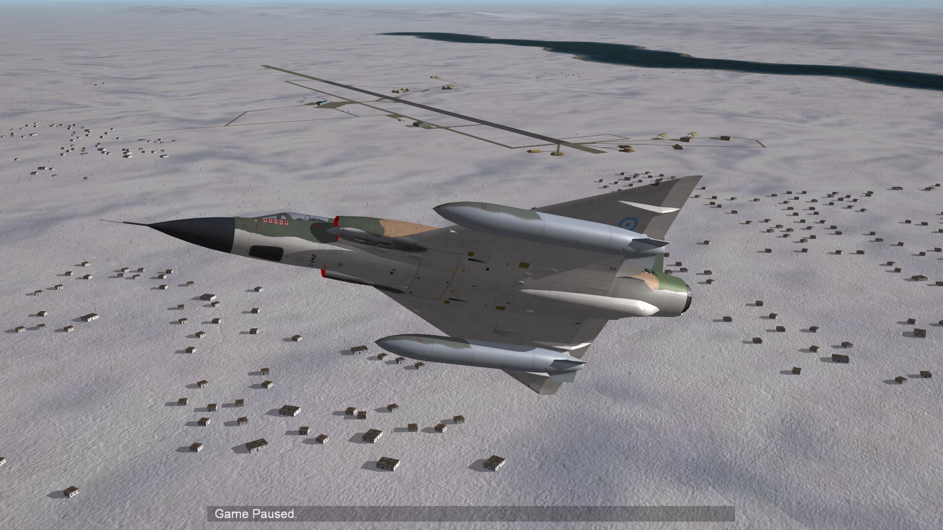
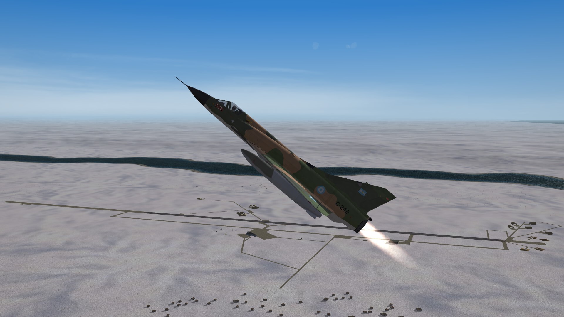
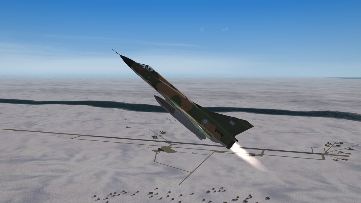
Take off from Ushuaia Airport, Argentina.
-
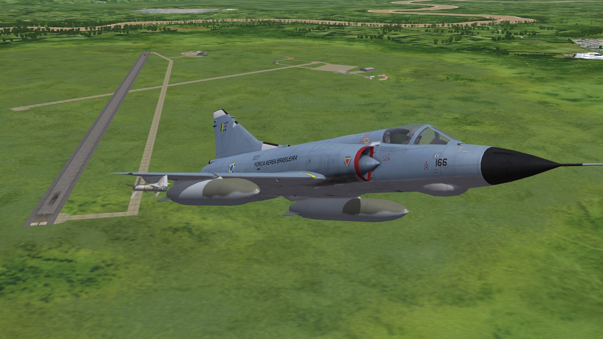
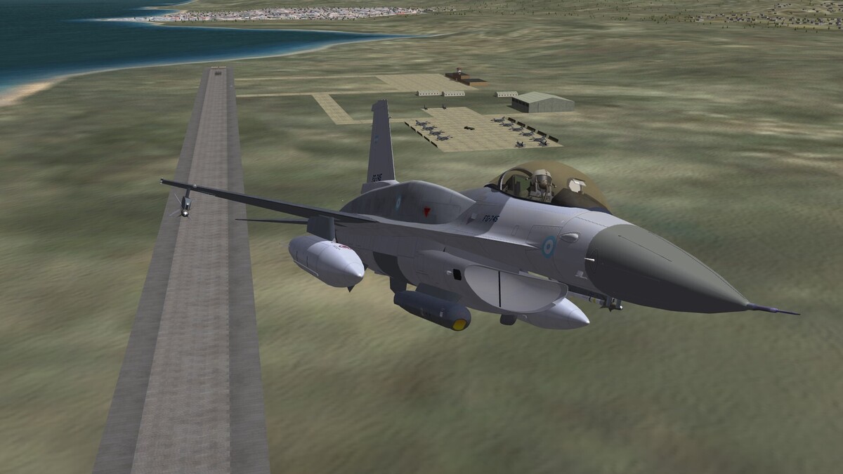
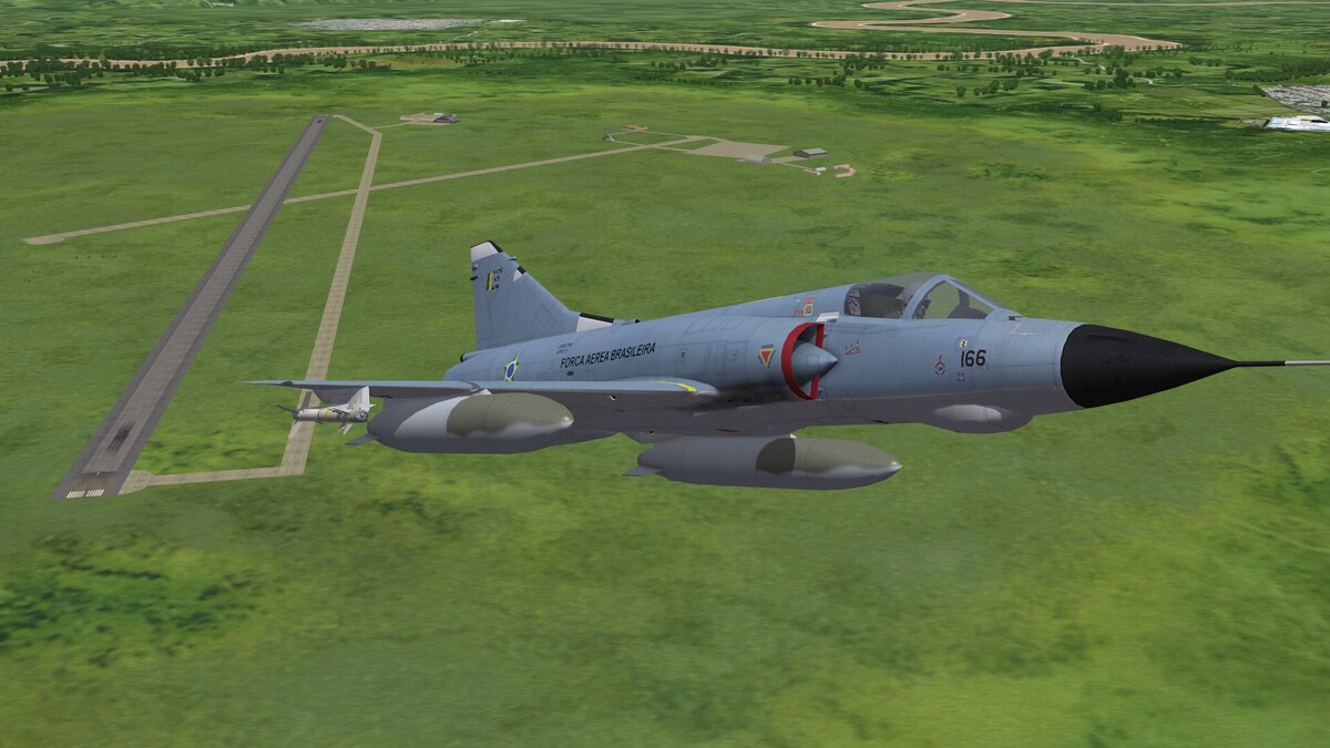
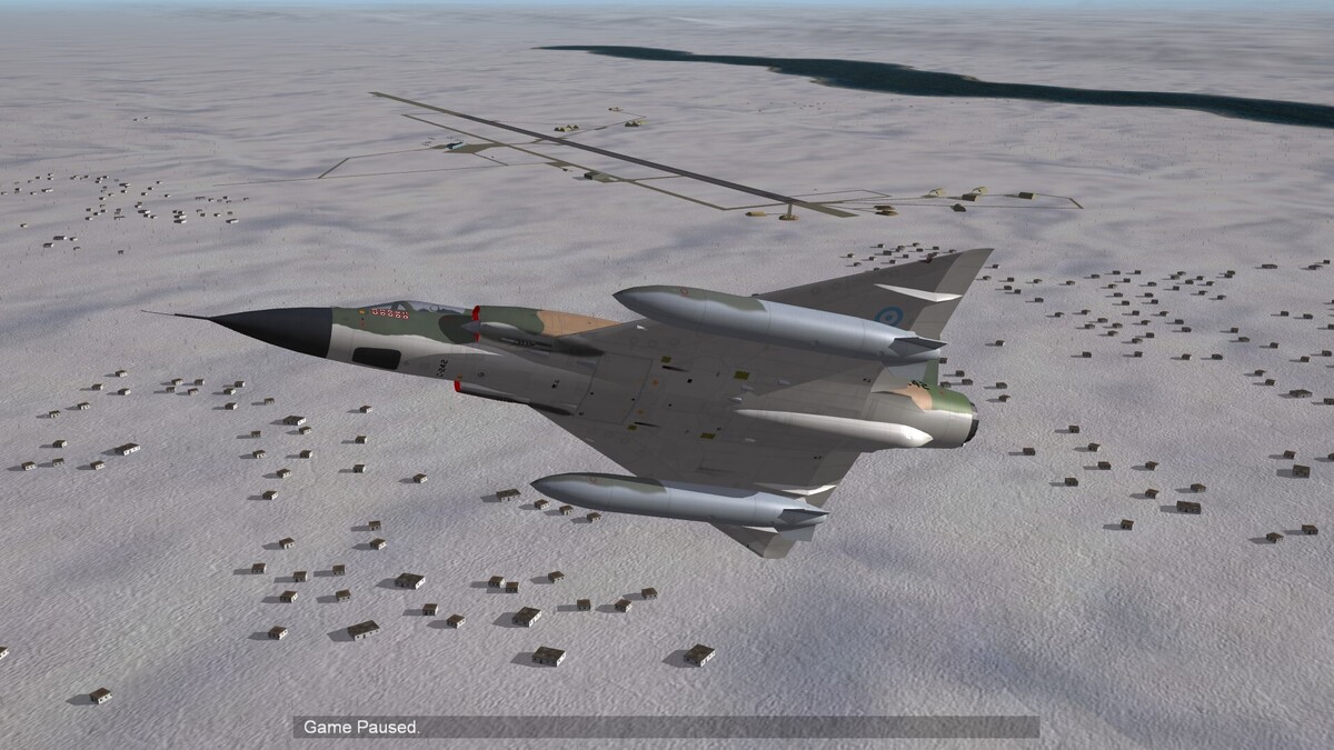
F-103, the brazilian Mirage IIIEBR
-
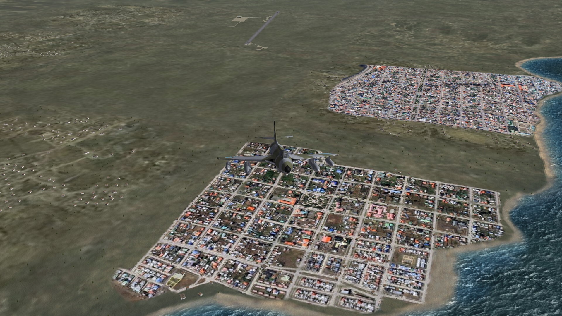
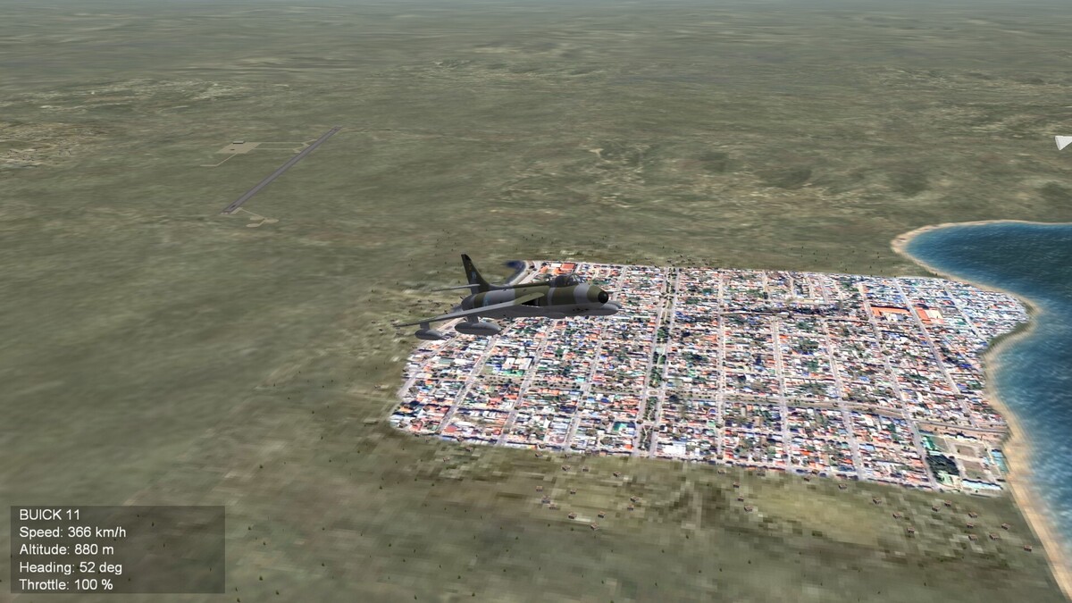
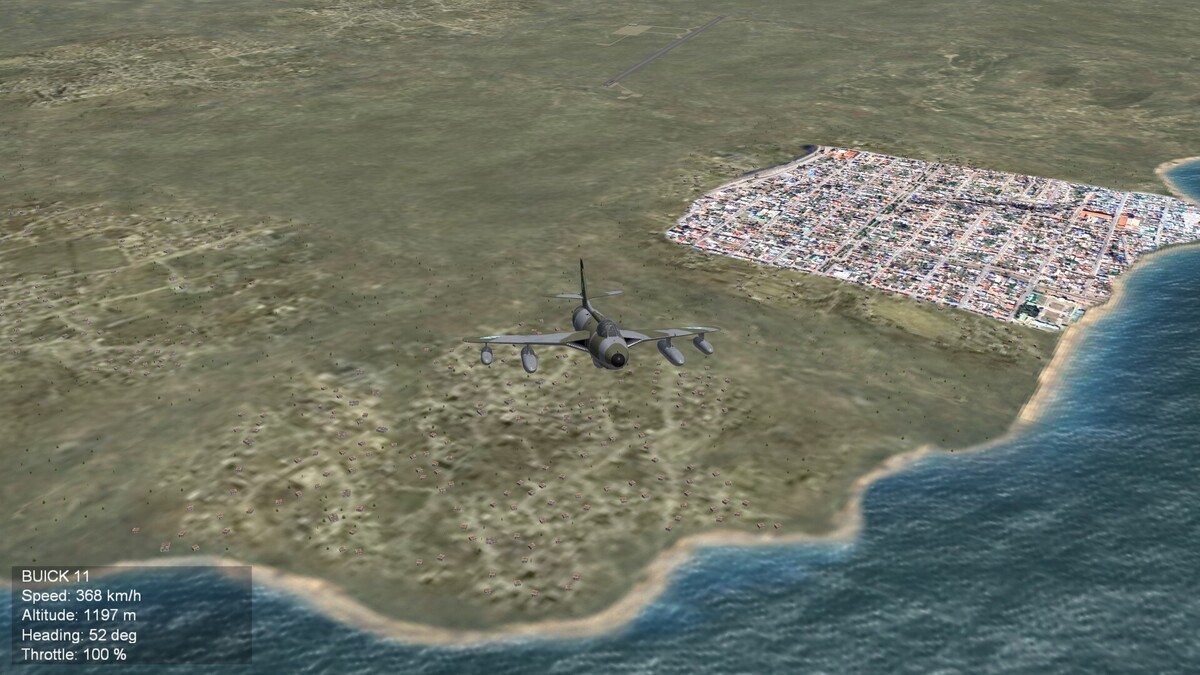
A first try to make a better tile of a town on the sea for Tierra des Fuego terrain. It is only a test, to see, how it could look and whether it is possible to combine 256x256 pixel tiles with 1024x1024 pixel tiles. I'm not yet satisfied with this tile. Here the comparision between old and new tile.
-
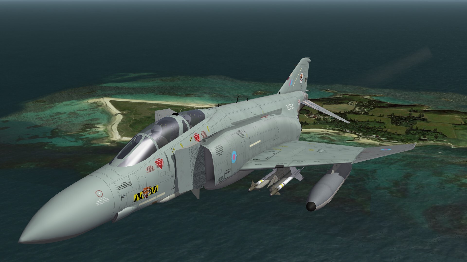
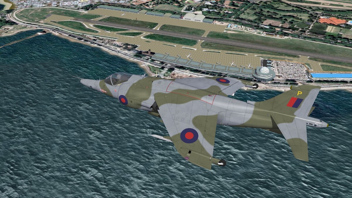
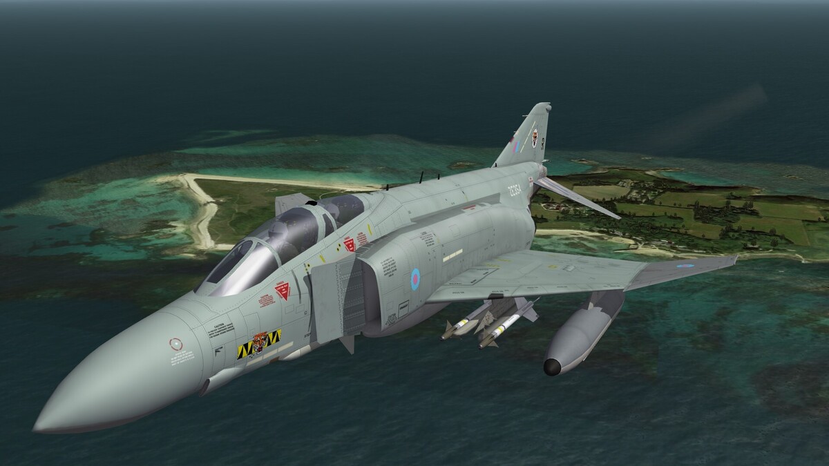
F-4J(UK) over Channel Islands.
-
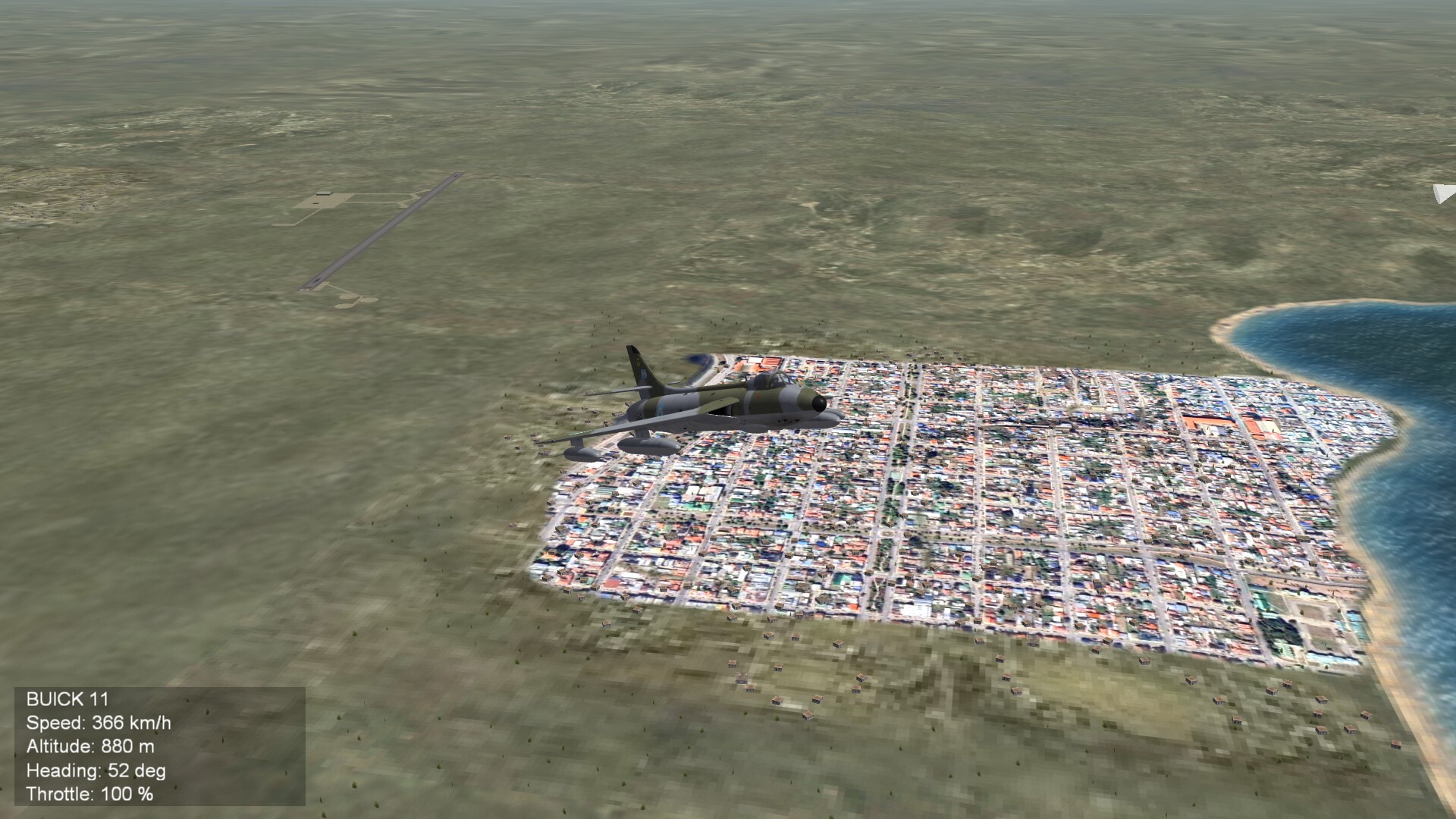
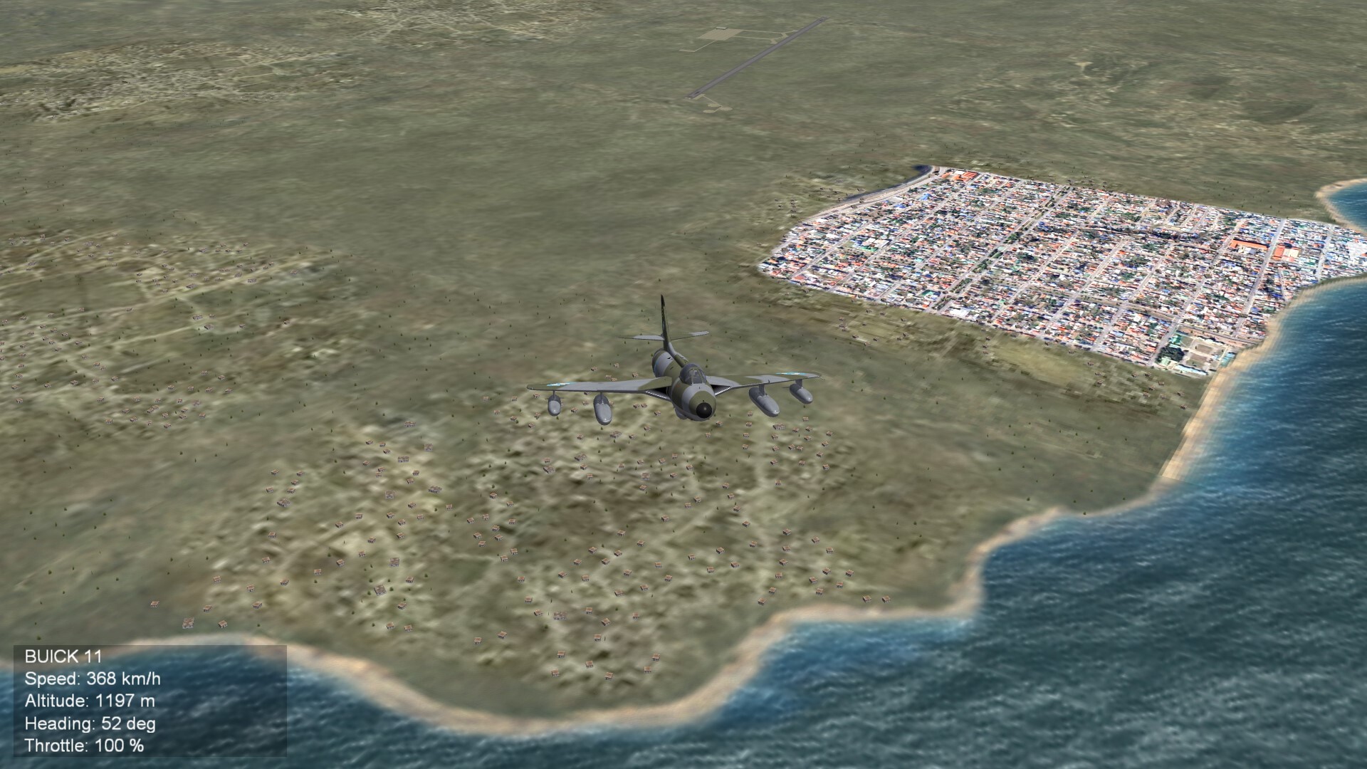
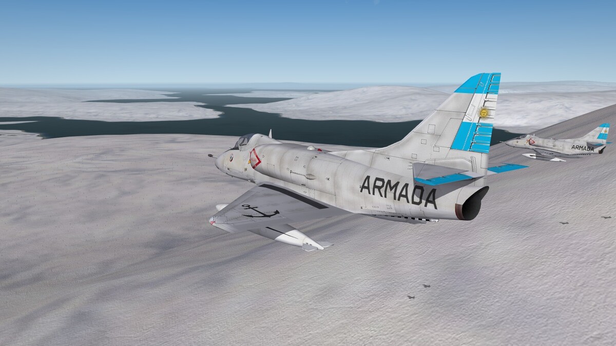
Over Tierra del Fuego.
-
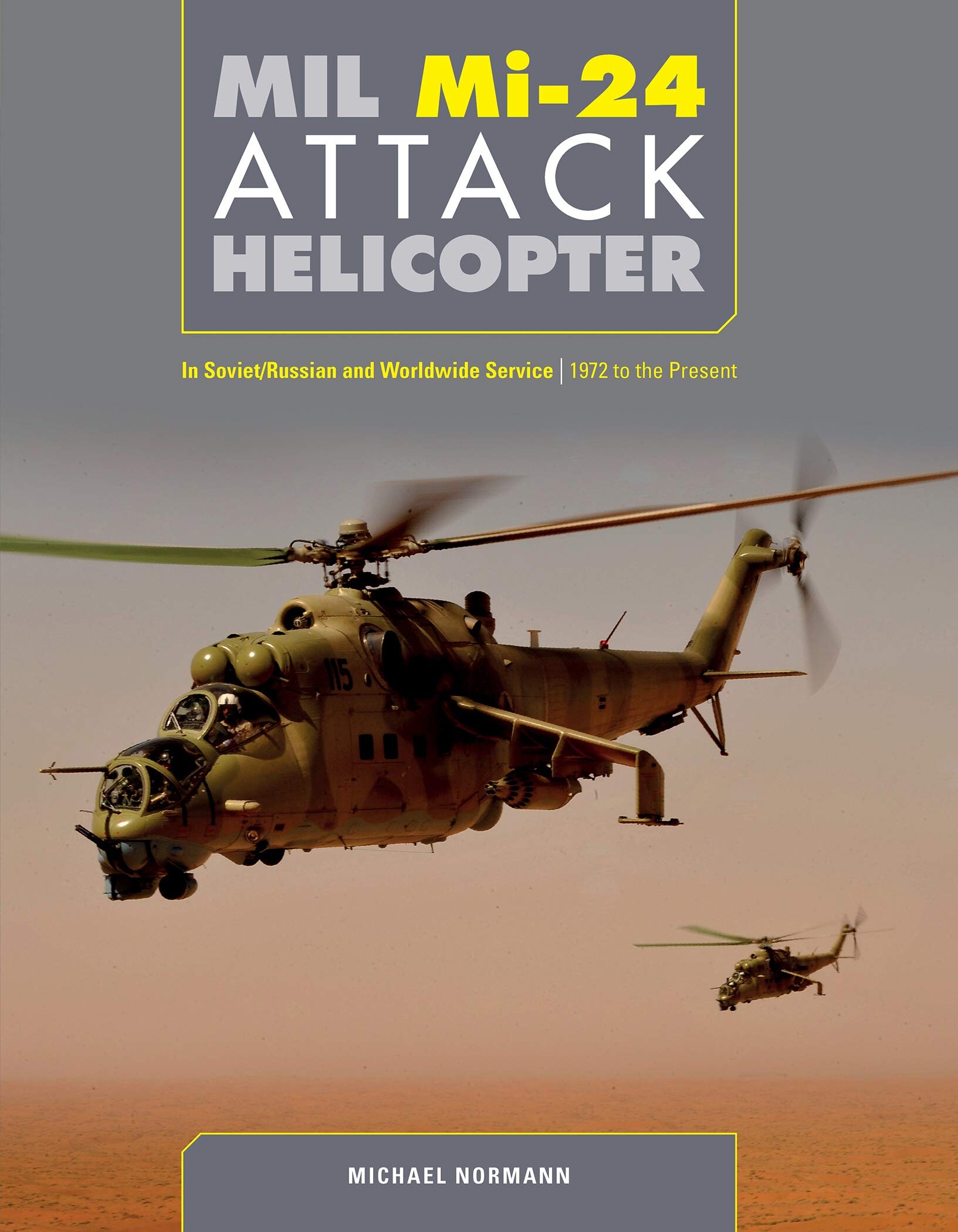
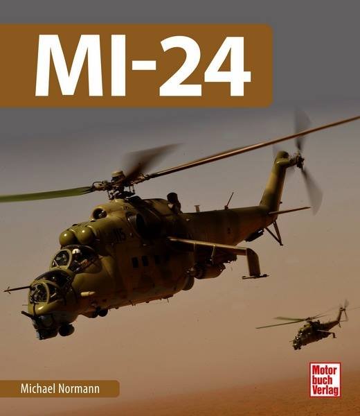
Have seen the Puma the first time, some month after the fall of the Berlin Wall, when a Puma of the Bundesgrenzschutz visited our Helicoper Base in Nordhausen. (I think it was in early spring 1990). The Puma crew tried to make a show of force, to show us, how fast and agil their helicopter was. But to be honest, our Mi-8 were better, faster, more agile. And the Puma was no comparision to the Mi-24.
-
If you are not prepared for that kind of weather, than it is bad.
-
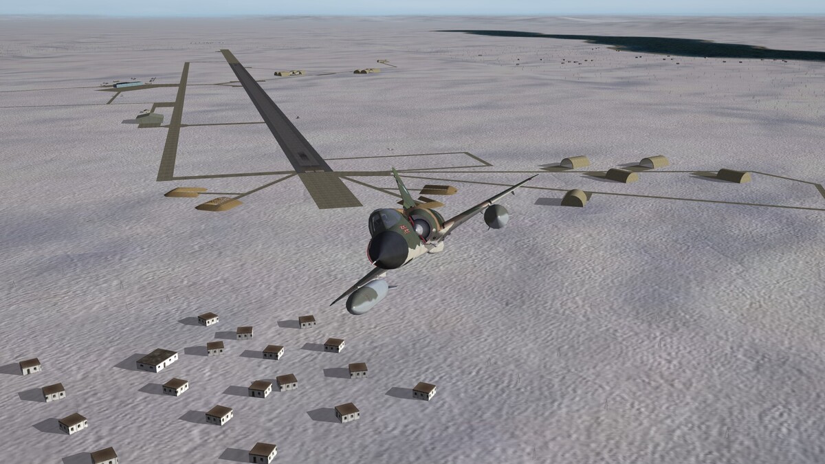
What do you think about this: Base Aérea Militar Río Gallegos I dont know why the Argentinians need a 4.000 meters runway. Have they an own Shuttle to land it there or was it an emergency runway for the american Shuttle program, like Templin in East Germany was it for the soviet Buran?
- 74 replies
-
- 12
-