Jump to content

Stary

+MODDER
  • Posts

    8,497
  • Joined

  • Last visited

  • Days Won

    100

Everything posted by Stary

  1. good news! go on downvote
  2. oh that looks professional I'd hapilly take on it but I am under deadline this month so no to modding I am affraid
  3. passenger 57?
  4. not yet I'm affraid but hey! Good to see you back Russo!
  5. Stary

    Hi all.

    welcome back!
  6. Stary

    shot6

    disable "Dual pass renderer" in the config, should help
  7. Greetings from Royal Air Force Museum, London. Day two of touring it as there is soo much to see

    1. Menrva

      Menrva

      Wow, it must be great! Any chance for photos, Stary?

    2. Stary

      Stary

      of course, just returned, gimme some time to select the postworthy ones and make album here

    3. Menrva

      Menrva

      Thanks man!

  8. Stary

    IL-2 '46 on GoG?

    it's worth it for sure ...but that said getting it right mods wise is big pain, at least to me.
  9. to the Knowledge Base with thy! Pinned there to thy wall shall thy!
  10. yyy Geezer I was making both Gauntlet and Nimrod ptoro cockpits wanted to take on Gauntlet too so good thing you took on it
  11. sad news Quack friend old GF560 Ti few months ago on the other system due to dust accumulation As for the terrain files, that is peculiar... but having backups would help alot
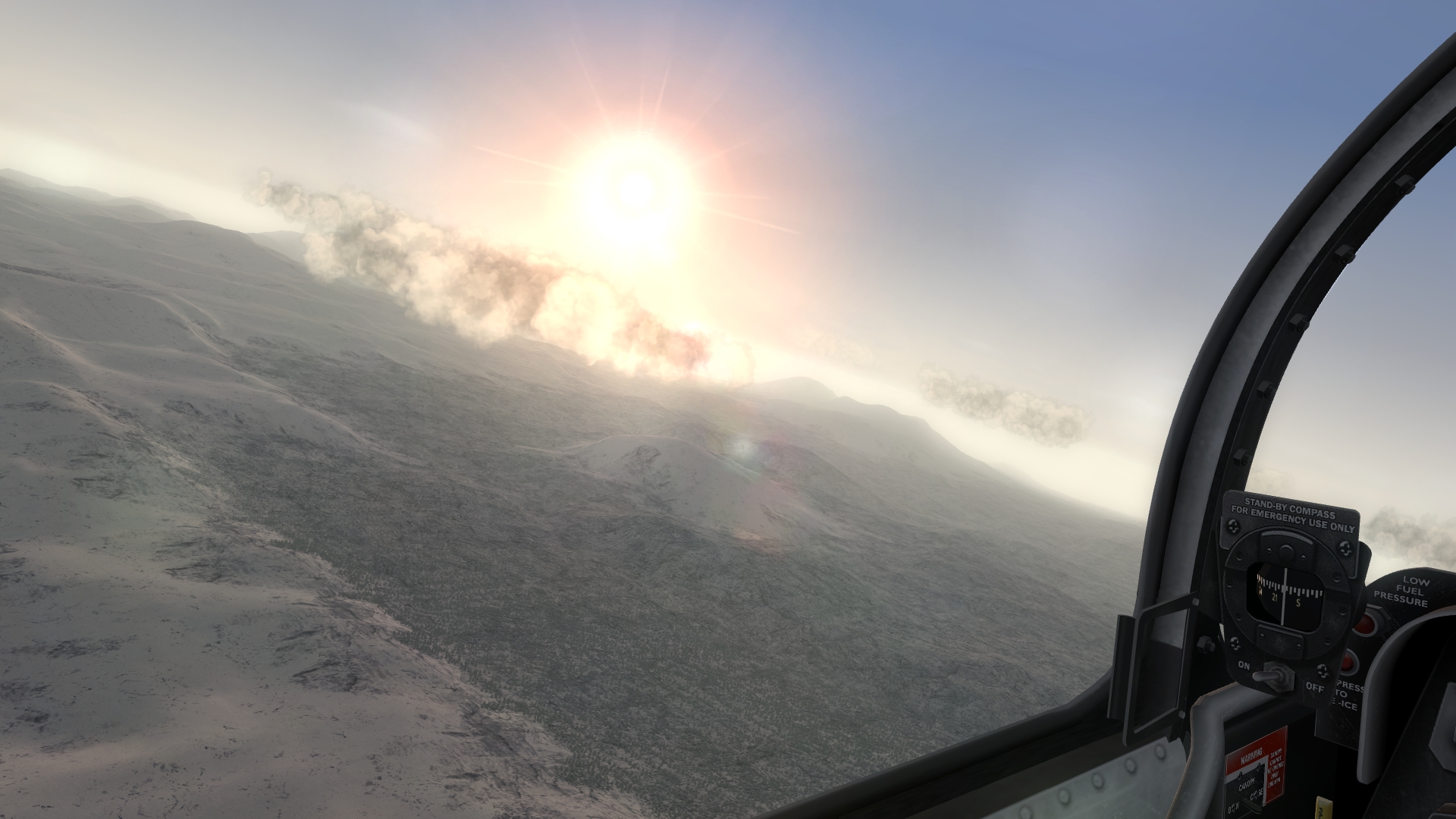
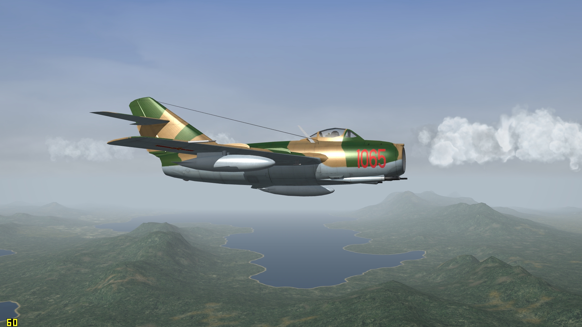
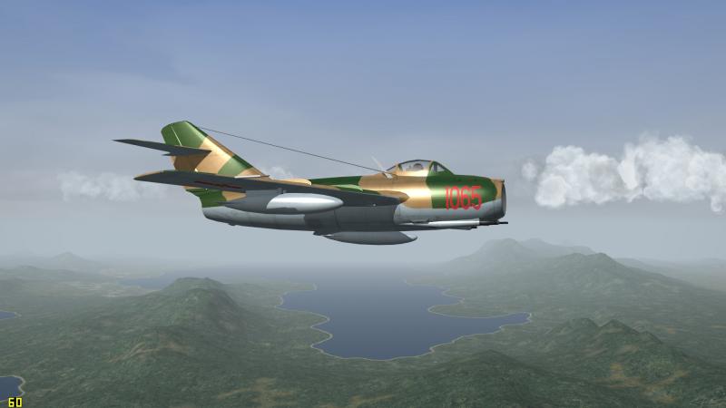
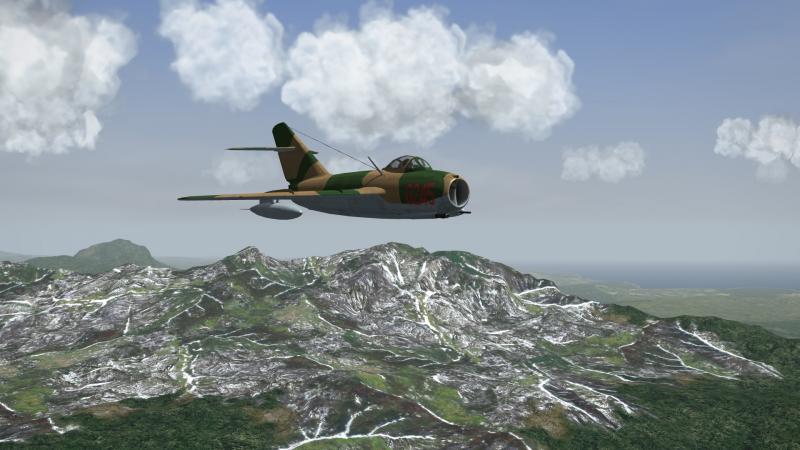
  12. Dude have you even seen "Indiana Jones and the Kingdom of the Crystal Skull" documentary? Your representation is soo wrong cool Jimbib, cool mandatory screenie, Sabres over Kamchatka
  13. as a side note true but I would love other titles to have even 50% of Thirdwire's dynamic campaign's system implemented. And roger, forgot how YAP puts the briefings into external pdfs
  14. you can do it as set of missions you play in order, like it's done by infamous* YAP products other than that, I have no idea *personal opinion
  15. no! no and wrong Wrench Heightmapscale= is essential to make the radar imagery terrain render properly! You always paint those black or remove them which is not the smartest thing to do IMO. And without those the say rivers in radar render ass all black or dull squares instead of more proper shapes. This is simply wrong tree texture referenced for TOD object in some tile's entry in data.ini
  16. Get well man!
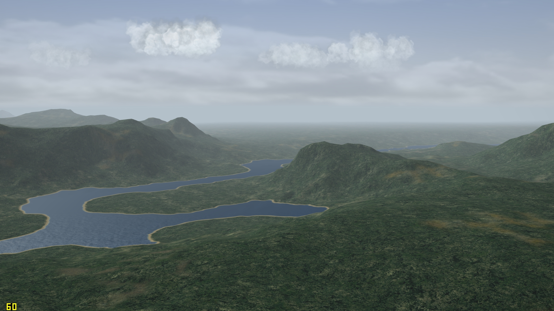
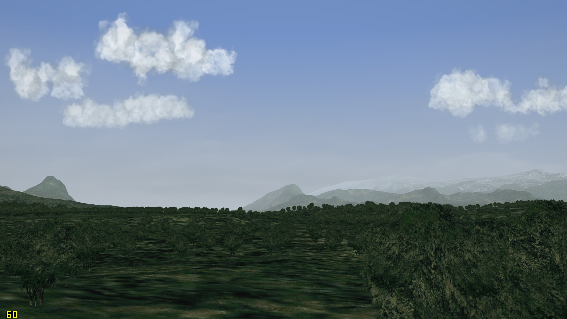
  17. flying over Archipelago 250 and 125 meters test versions (without any shores adjustments yet etc) and yeah the tileset is one of those test versions I keep unreleased for ages
  18. if you find other matching (the same name and general layout as judged by the texture -usually where trees are supposed to be then there are) then yes as long as the tree TOD textures match, if not you'd have to amend the given texture's entry in terrain's _data.ini
  19. Velo you can try replacing these TODs (the ones with "J" i nthe name are the forest areas ones) with some more modern, like from my later versions of Sweden tileset (small trees there) or other treemod but can't guarantee about the looks performance etc; something I shall test myself too
  20. yup the TODs used are century old, more like from 2008 or so but yes I concure could be bit better. That said I am worried more polys for TODs=more crash chances as I have experienced with testing Korea update of similar type
  21. rarely these days, BUT that said I do have TONS of unfinished stuff -and yes the biggest issue is finding the actual time, so that is why I stopped posting WIPs as frequently as I used to as I can't say when something will be finished cough new Green Hell, 27K, Badger, T-33, Yak-9U cockpits cough
  22. Volker, by chance, it might have something with modded flightengine.ini horizon distance ranges? I advised in readme moving it a bit closer to force reduce number of simultaneously drawn polygons and doing some further tests I can confirm that these denser terrains work best with objectsfade=true but =false works too when using wise ranges etc
  23. View File 
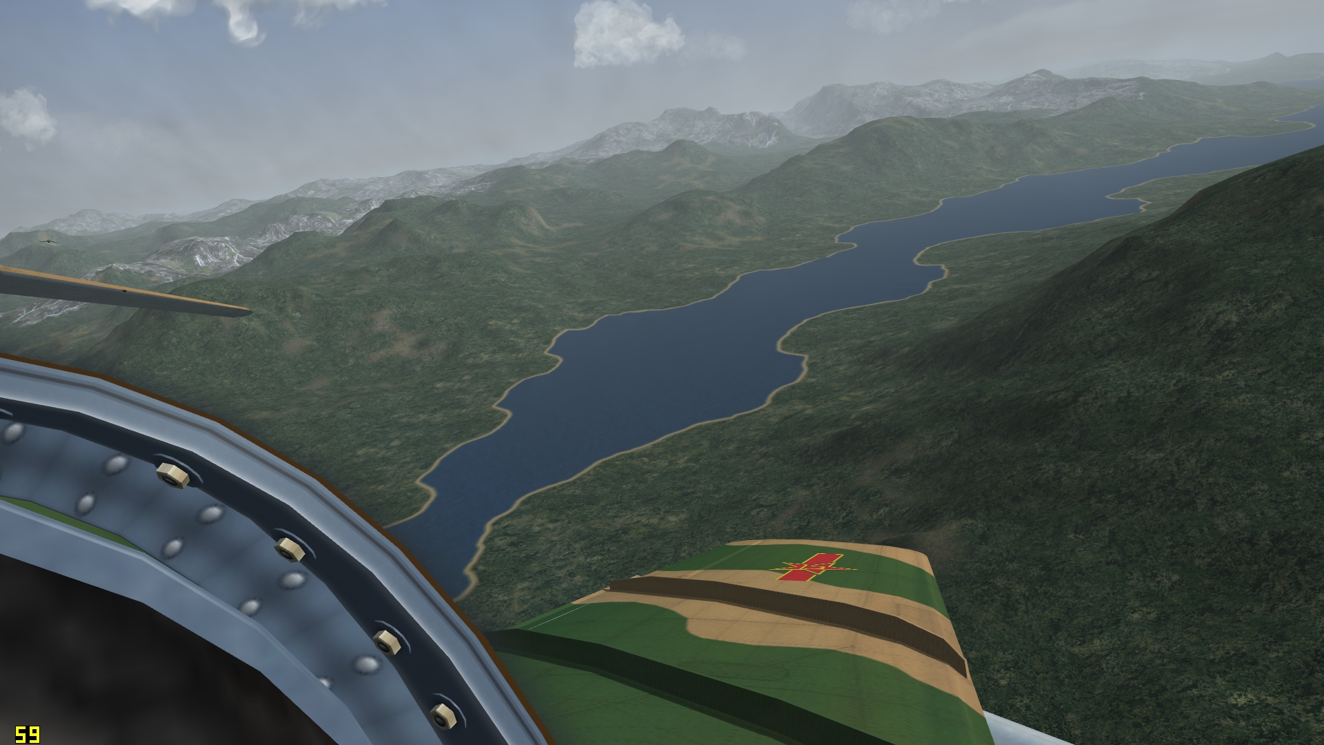
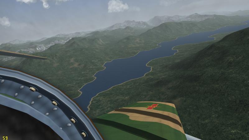
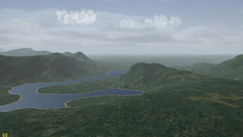
Kamchatka 250m version with adjusted tileset etc Kamchatka Peninsula 250m heightmesh update with corresponding tweaks and rejuvenated/extended tileset and layout for Strike Fighters 2, best fully-merged installation v1.0 by Stary July 2016 ^^^^----------------------------------------------^^^^ This is test rebuild of Baltika's and Wrench's Kamchatka terrain, based on Kamchatka v2.0 which is major update to original Baltika's terrain by Wrench. This is semi-experimental update aimed at demonstrating and testing in wider userbase usage of denser resolution heightmesh. I can >>not<< guarantee the stability of this terrain due to engine limitations and what I observed and what seems to be slight memory handling issues of the SF2 engine Credits: Baltika and Wrench for their work on Kamchatka map. Gerwin for TFD tool and BMP2TFD Combatace and Thirdwire All the nice people around here Extended information, please read carefully! The height mesh: The stock Thirdwire .hfd terrain format uses publictly available DEM (digital elevation model) databases to produce 500 meters vertex spaced terrain meshes with 2000 meters tiles covering them. This is proven, easy to use system but 500 meters is awfully 1999 technology for 2016 systems. Thus given my efforts into NA LOD-based terrains creation stalled due to lack of knowledge and tools I decided to reproduce one of more interesting yet obscure maps available, the Kamchatka Peninsula. The mesh in this download currently uses 250 meters resolution which is twice the density and detail* compared to original terrain. Please note that due to being based on low resolution hfd file output the actual height representation is somewhat off compared to real terrain! Not much and not that it really matters much. "If it looks good it is good" New heightmap was created in several steps which I now describe to help other more advanced terrain modders possibly use this method: First steps -Gerwin's TFDTool and Photoshop: -I used Gerwin's TDF tool to output the heightmap via F9 key -Also created the textures bitmap as a helper file via F7 key -The created file in grayscale is 3000x3000, which corresponds to 500m resolution on 1500000m map (3000/2=1500! Magic!) -Thus I rescaled the file to 6000x6000 pixels, the same with the texture bitmap which I copied to greyscale file for reference -The 6000x6000 or twice the original is the 250m per pixed heightfield file -I filled the blue water areas TFDTool creates with pure black 0,0,0 -Then I spent some time in Photoshop working on several layers and using several brushes and tools to slightly tweak the grayscale height image, mostly to brighten the higher areas and adjust some more interesting places. Mostly blur, stroke tools and some slight wave-y filers to add some detail to now ARTIFICIALLY pumped up resolution (further on this below) -Pro tip: to get rid of any water/shore artifacts is easy way, the so called tsunami waves or coast areas on slopes I selected the texture map layer, selected all water areas (select by pixel color) and created another pure black layer on top of the main height layer, that drops slight shadows around it (2 to 4 pixels black shadow) -this way the heightmap gets toned down for few pixels (two is good value) when near the water areas; think smart not hard as The Ancient One says :P when the heightmap was considered ready I flattened it and converted to 8bit palleted file using the stock Thirdwire terrain editor palette (you can do this palette by exporting any heightmap as bitmap from within the TE and saving it's palette to file, most programs allow palette saving) Second step -Thirdwire Terrain Editor, the 042106 version: so now I had the TE-format palleted 8bit heightmap but to import it without further data loss I needed to adjust the TerrainEditor.ini settings via notepad: -the line that specifies the min-max scale of height present in the file is this line: [bitmapImport] HeightScale=15 <---- this line, by default uses value of 10 MinLandHeight=0 <---- by default 1 experimenting with this value gives you the similar results as using PGUP/PGDN keys when using Gerwin's bmp2tfd tool, basically sets the global vertical scaling of min-max values in file To create new 250m resolution the values at creating new map are as follows: Terrain Map Size: 1500 (km, like original Kamchatka terrain) Texture Tile Resolution: 2000 (meters, like all common SF2 maps and tilesets) Height Field Resolution: 250 (meters, compared to defaul 500 meters) Then if you do have the texturelist loaded yo ushould get new flat terrain with textures filling the areas, just impor t he heightmap from the created 6000x6000 paletted bitmap and save. This is basic procedure, same can be used to create 125 meters resolution terrains (I did so for Korea3 terrain so far) BUT those are unstable and I am still trying to get perfect values in BOTH flightengine.ini and given terrain's _data.ini *now the heihgt information/detail gets lost every time we index the heightmap so one must then increase the HeightScale= value to get more or less proper -OR GOOD LOOKING height values. Also be warned that Gerwin's TFDTool doesn't properly translate non-standard maps (1000 kilometers ones go ok though) that is why the TE hassle That said -the height scale is a bit OFF in this map so if you are a purist complain all you want, I wanted better looking mesh more than geographical accuracy. To have the latter we need to come up with otehr height data sources for denser terrains. I have yet to look into the tools and programs I own what could be of use. Installation: Before installing this mod BACKUP your Kamchatka terrain!!! There is possibility you won't get this terrain working at all so I warned you! To install this exctract the zip and move the content of the included folder to your Kamchatka terrain, overwrite when asked. This way now you have new terrain tfd and hfd files, new inis, TODs and new reworked tileset in both summer nad winter flavours in their respective folders. The mod has all the nedded tweaks into kamchatka.ini and kamchatka_data.ini already present, HOWEVER to use this terrain in efficient way (ie, not to experience CTDs when loading the map every signle time) please do adjust few things in your installation: The essential is making small adjustments to your flightengine.ini file [backgroundSceneClip] FarClipDistance=70000 by default uses value of 80000, and while I now use the original value to prevent possible memory crashes use the 70000 value which lowers the loaded terrain "bubble" around the camera. Also if you do use very extended trees/objects drawing distances (with or without additions of Mue's extra distance fading shaders) I recommend lowering the DetailMeshSize= values, start with something like 8 or 10 and try if the map loads for you, can then increase this further, it might be very VERY system-dependent Known Bugs: YES this is test and YES you might get constant CTDs when loading missions; might be very computer or installation dependent. I have medium-high system and work ok with the values I use in inis. Also can't guarantee if some crazy large scale missions wouldn't prevernt the terrain OR textures to load, as I have hit some engine limitations during more brutal force tests. That is why the tileset, albeit I have it in 1024px resolution too, is 512 version. Also you should have much less of issues when using ObjectsFade=TRUE and not using Mue's extender draw distance shaders. That is because the sim engine apparently does not have to load ALL the TODs at once during mission loading, just later when need be. Anyway that is my assumption, I might be totally wrong Legal stuff: CA Fair Use license apply, not to be used as base or part of any sort of payware That should be all, have fun (I hope) and if you are terrain modder, try my method. Again, 500m res is soo 1999 :P Stary Submitter Stary Submitted 07/25/2016 Category Full Terrains
×
×
  • Create New...

Important Information

By using this site, you agree to our Terms of Use, Privacy Policy, and We have placed cookies on your device to help make this website better. You can adjust your cookie settings, otherwise we'll assume you're okay to continue..