Gepard
-
Posts
6,982 -
Joined
-
Last visited
-
Days Won
352


Gepard's Achievements
")


-
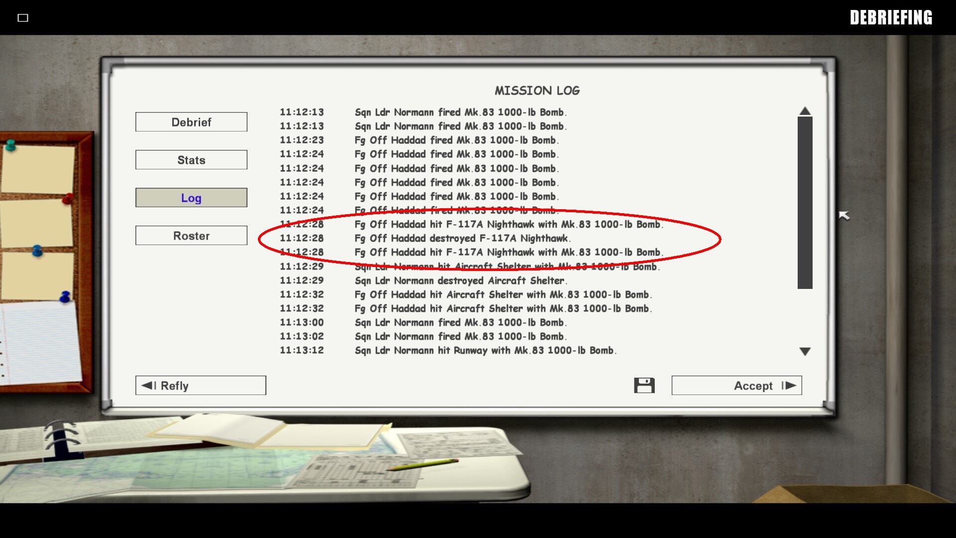
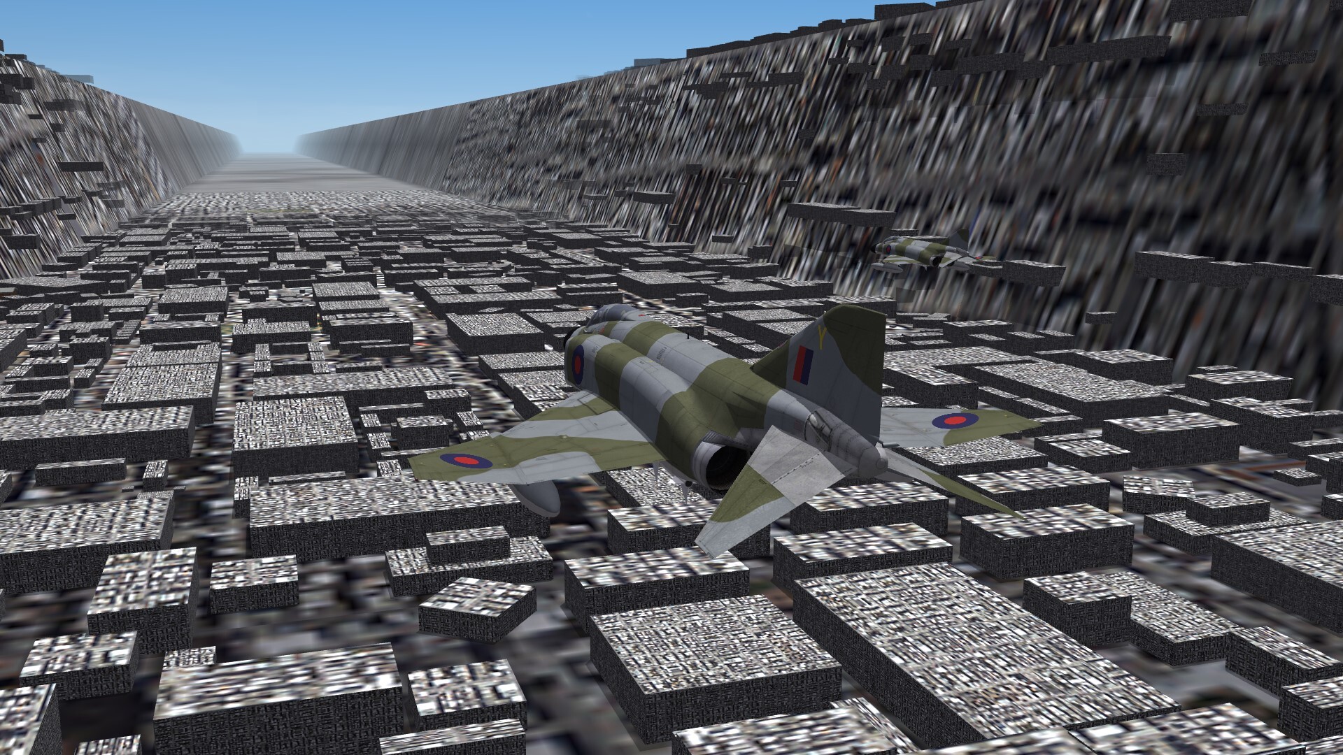
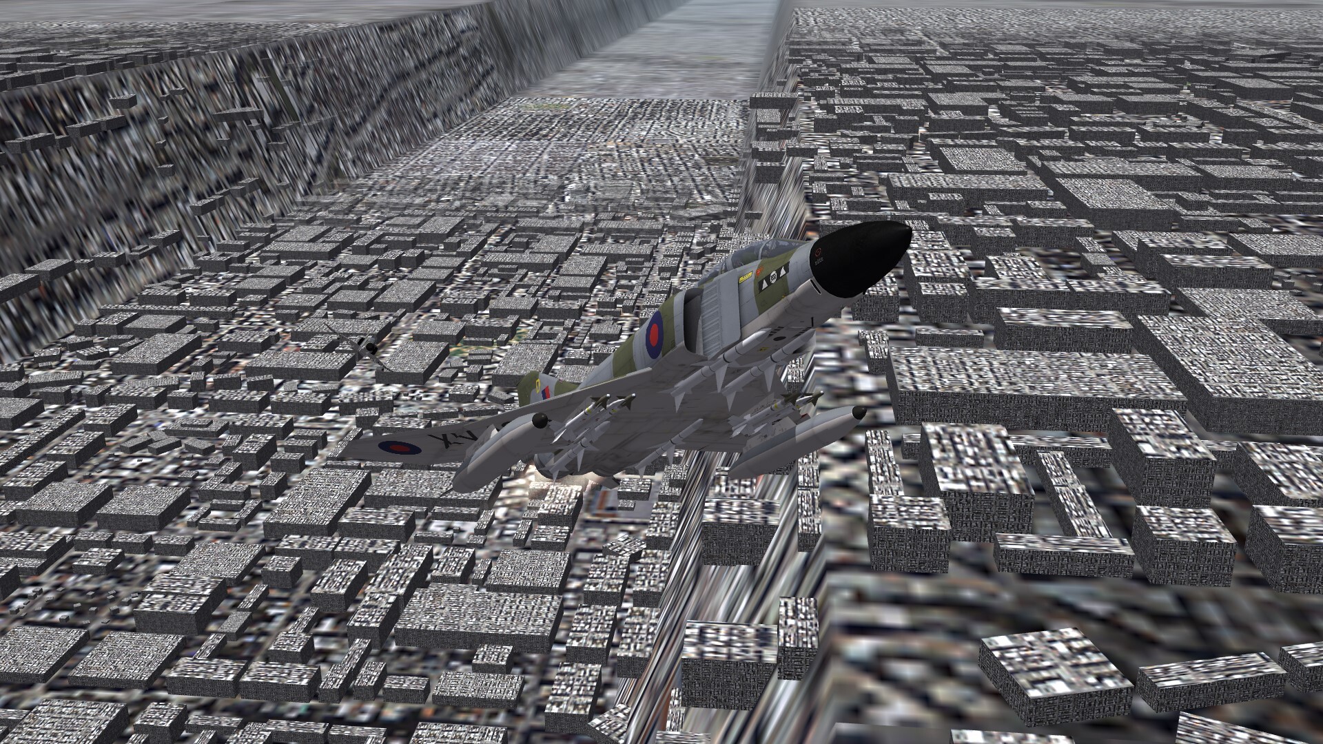
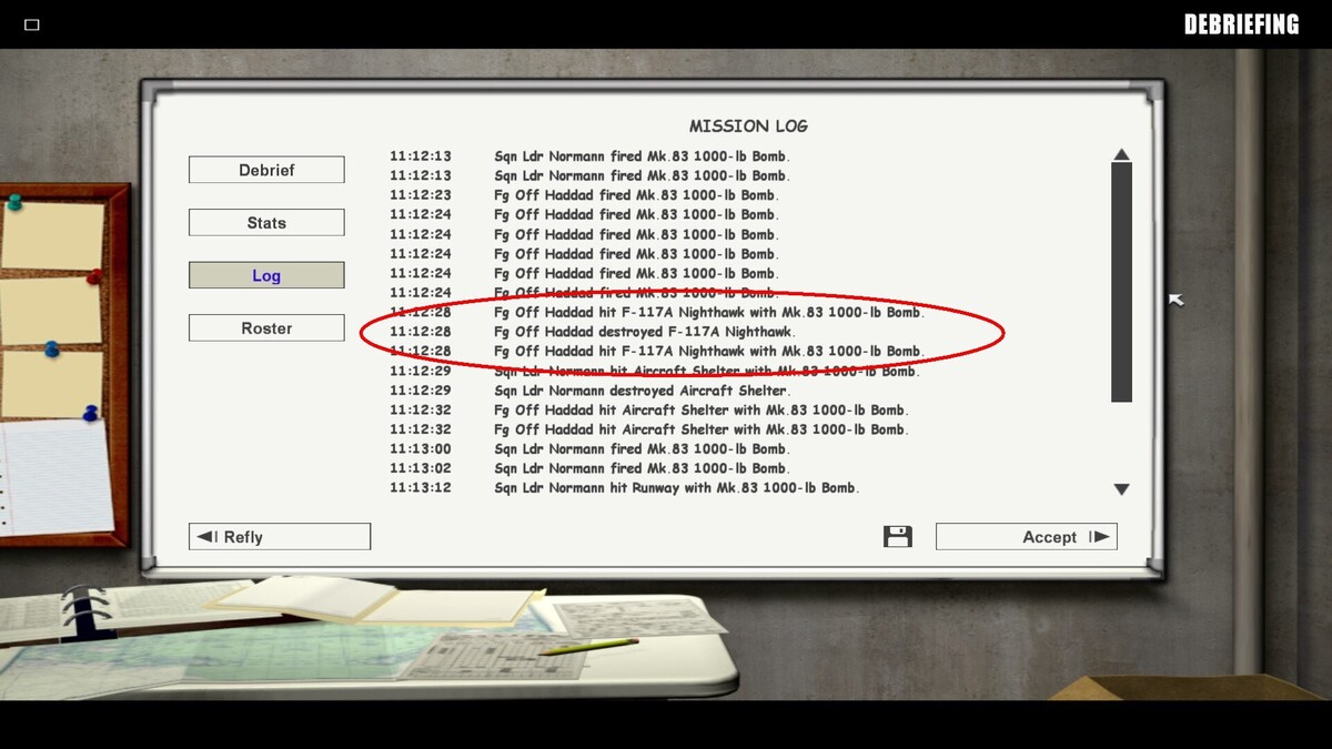
The strangest friendly fire i have seen in SF2 world. During a strike mission of Desert Storm, my kuwaiti wingman dropped a Mk.83 1000 lbs bomb and hit a lower flying F-117A Nighthawk mid air. Never thought, that it is possible to hit a flying plane with a stupid iron bomb.
-
Nice job. Well done.
-
Why you want a dark fuel leak effect? Leaking fuel is not dark. Smoke is dark.
-
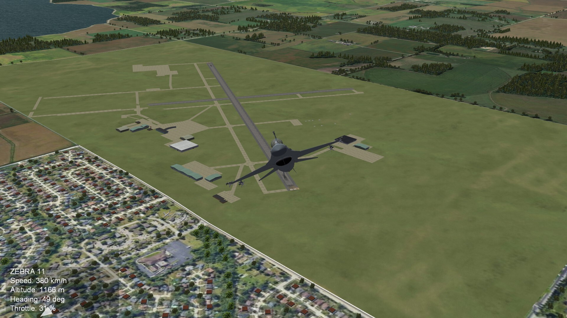
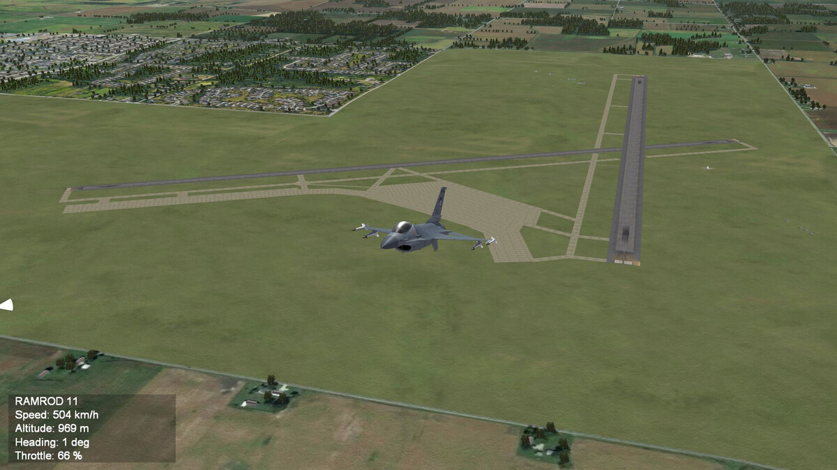
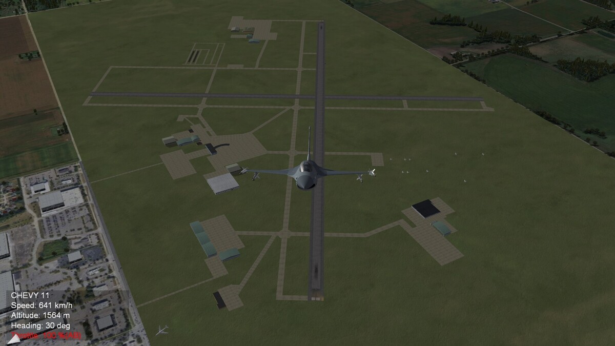
Green Bay Airport, Wisconsin (WIP) Basic layout is finished. Buildings and parking aircraft positions still have to be done.
-
Bam Bam Bam, Bambam Bam Bambam Bam

-
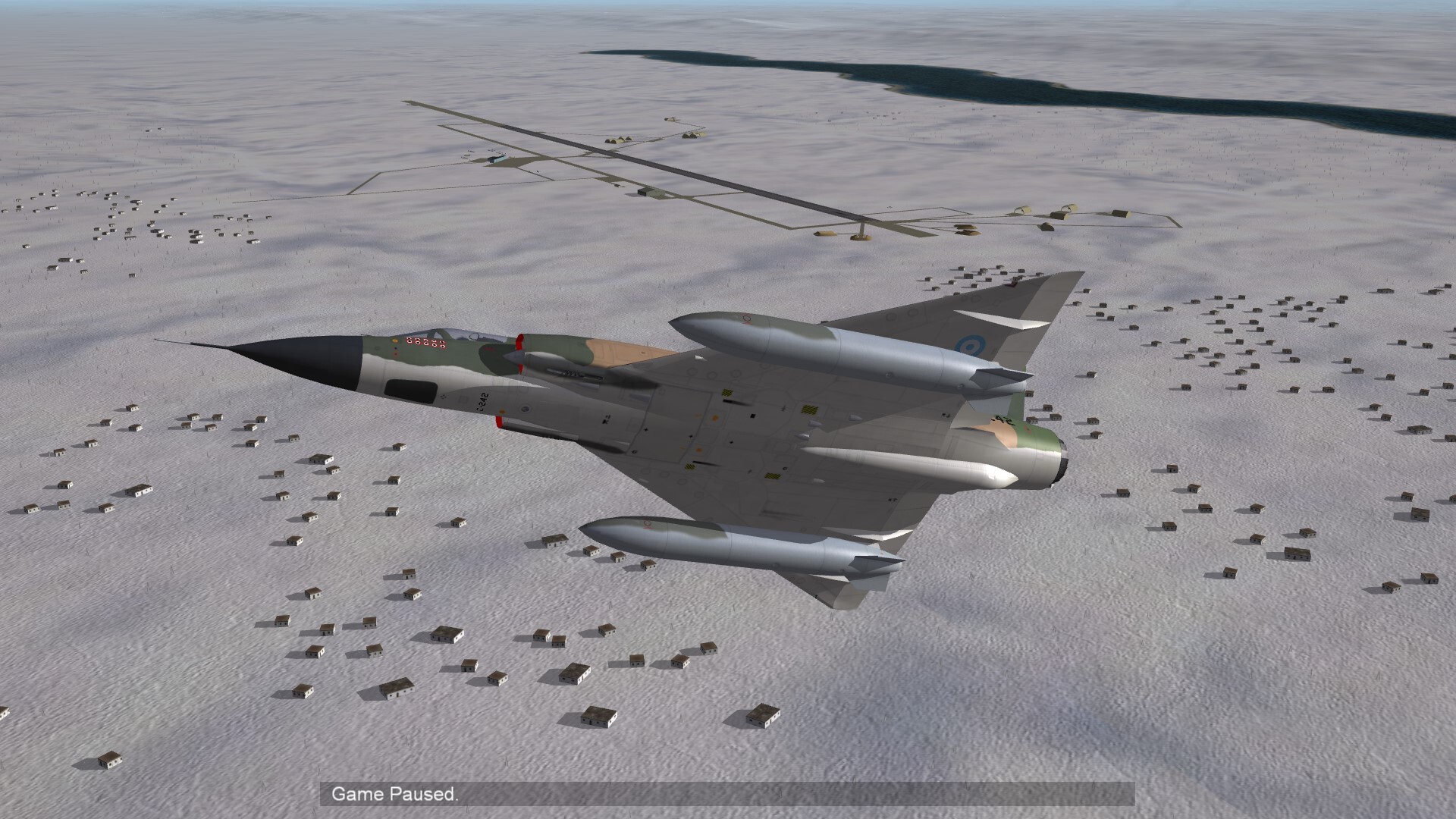
Somewhere in Ukraine.

-
SAM's not working that well, any tips for fixing it ?
Gepard replied to Bogan66's topic in General Discussion
The 16 is the maximum available number of SAM, Flak or SAM radar assets per target area. -
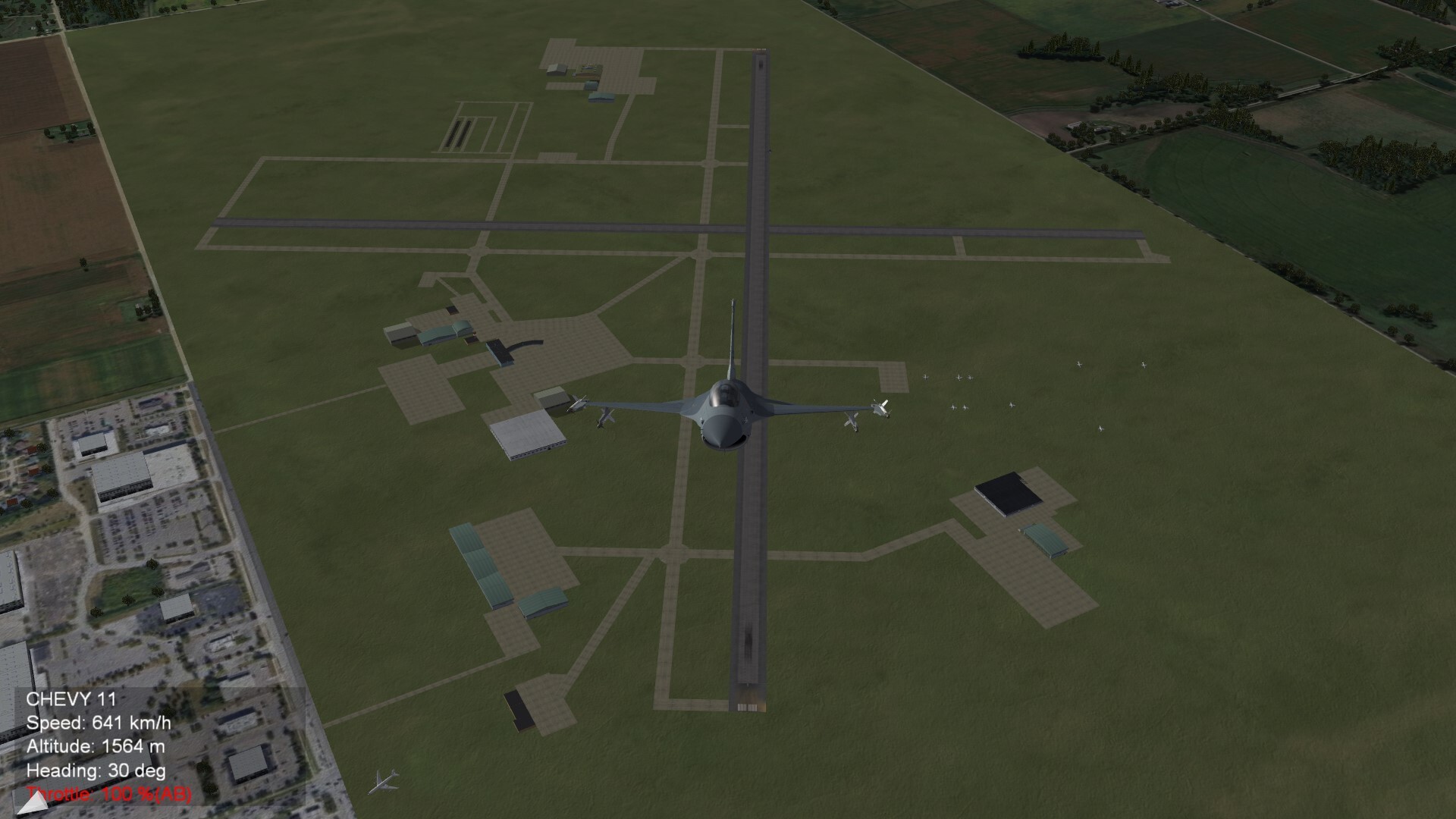
Appleton International nearly finished. SitRep: Area is flaten now. No more runways and taxiways sinking into soil. Neighboring tile was rotated, so that now an industrial area is side by the airport. The southern part of the airport has now some buildings and a parking area for small planes. Only the positions of parking aircrafts still have to be done.
-
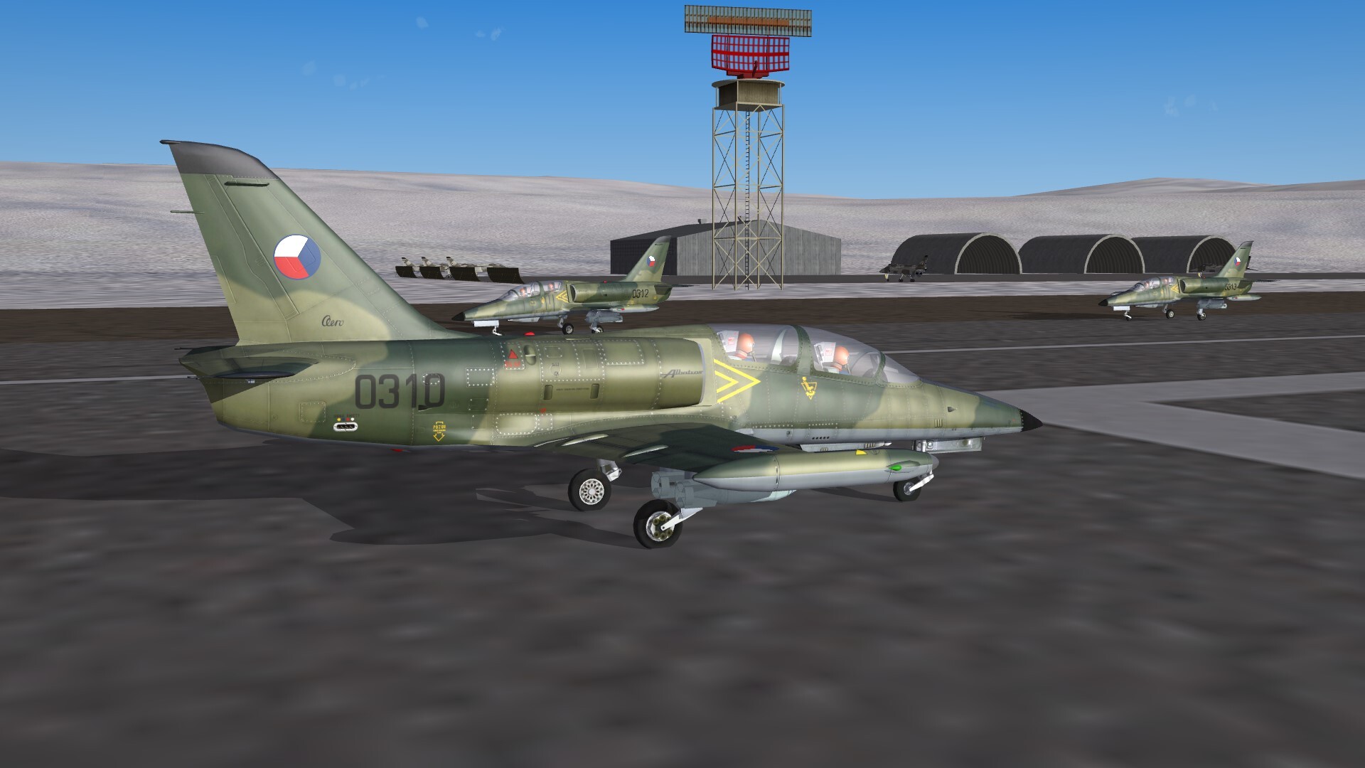
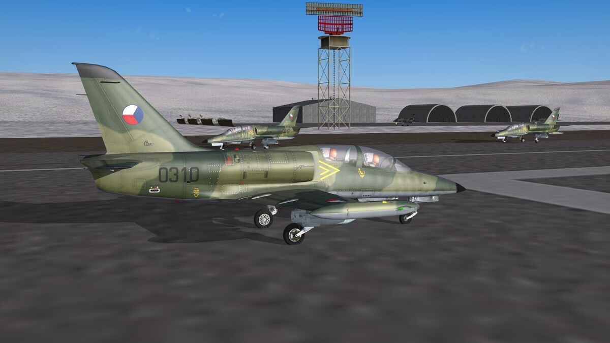
L-39ZA Czechoslovakian Air Force.
-
Appleton International Airport, Wisconsin (WIP) The ground not 100% flat, that's why parts of the second runway and some taxiways are hidden in the ground. I will fix it tomorrow.
-
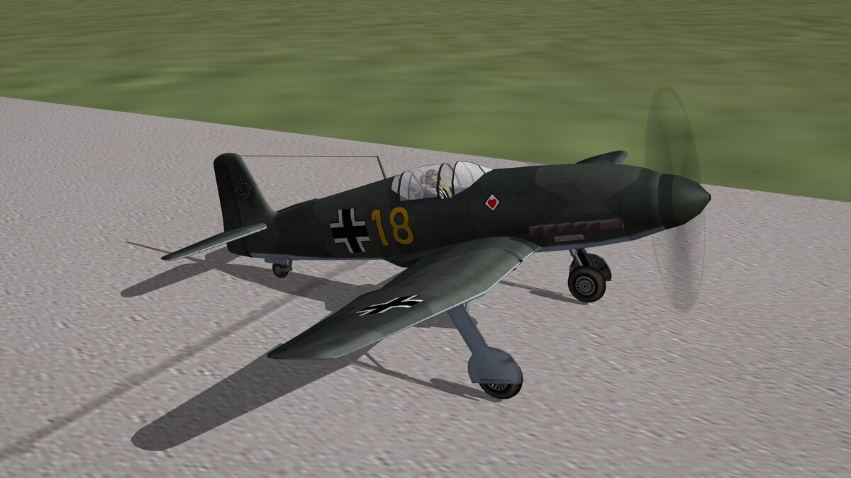
March 30th 1939 The He-100 reached the world speed record for propeller planes with 746 kph.
-
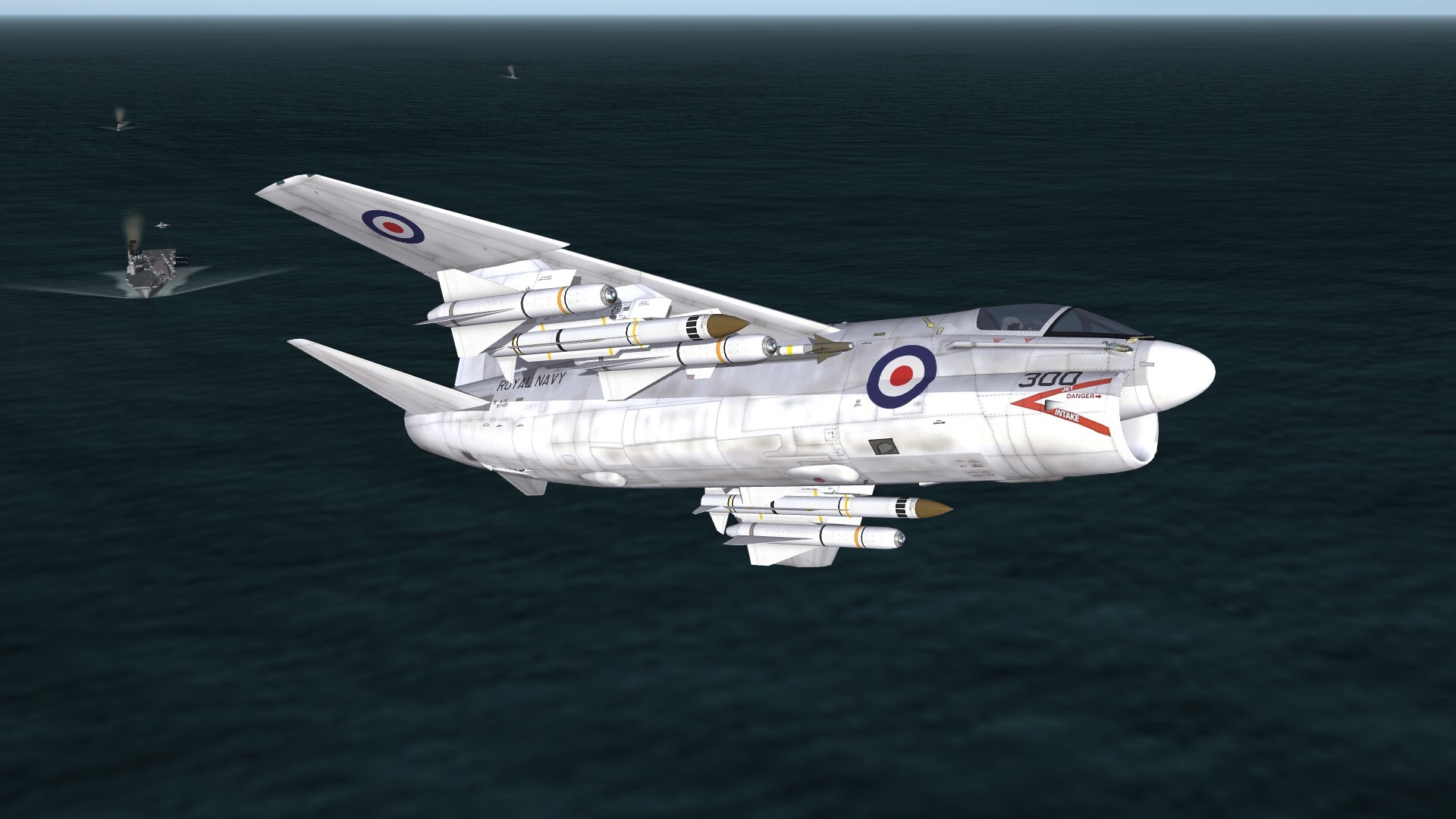
Corsair GR Mk.2

-
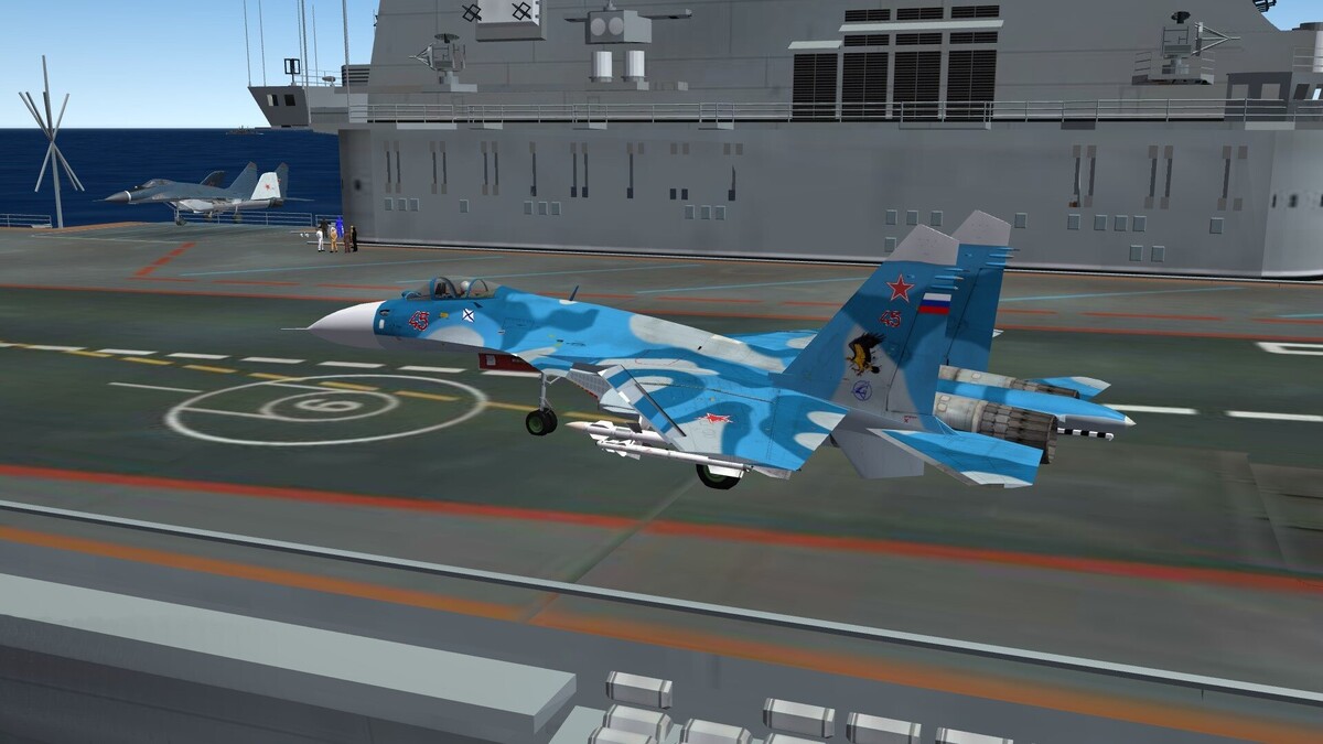
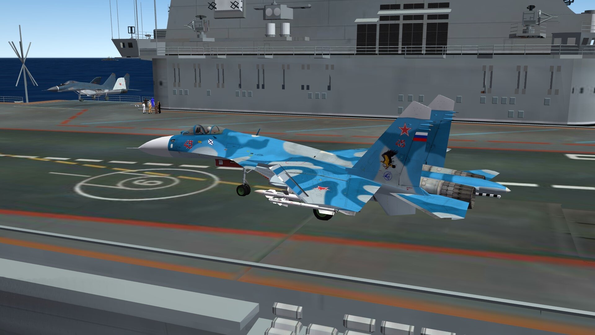
Su-33 and MiG-29K on board of carrier Kuznetsov.